- Joined
- May 19, 2012
- Messages
- 1,990
Thompson Creek and the Fins are a favorite local spot for hiking and rock climbing. Located above Carbondale, Co, it is a readily accessible "wilderness area" though not designated as such. The Divide essentially does exactly that, it divides the environmentally exploited and gas drilled lands near the I70 corridor, from the populated and not so populated (by humans) areas in and around the Roaring Fork Valley. The towns of Glenwood Springs and Carbondale depend on the Thompson Divide water shed for their water and backcountry experience, which is a big economic engine for our valley. Ranchers, hunters, climbers, ORVers, bikers and hikers all use this area and consider it their back yard. As I stated in another thread this land is and has been under attack, with the issue being escalated into the red zone by SG Industries announcement to follow through with their drilling application. The gas industry has been offered millions of dollars to relinquish their claims (that they paid a few thousand dollars for) but they refuse. So I thought I would start this thread to honor (hopefully) this amazingly beautiful place.
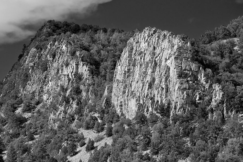
To start off, I wanted to try to find a spot that would tell a story photographically on a macro level, of the Divide. Last winter I hiked up to this rocky knoll (battery was almost dead in my camera, shit!), which is actually an extension of the linear fin structures found throughout this area, located above Thompson Creek. I recently returned, with a good battery:
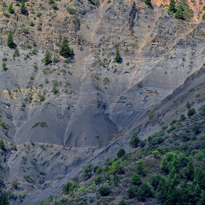
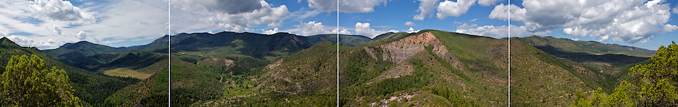
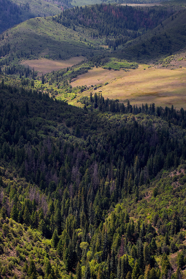
The next photo is a 4 shot "pano" I took from the knoll, showing a large section of the divide. The left 2 images in the pano correspond with the Google image below:
This is a view from Google Earth, with this knoll in the foreground, showing one of SG industries lease areas (long rectangular lines, and a small fraction of the total leased areas) on the slope of the Divide:
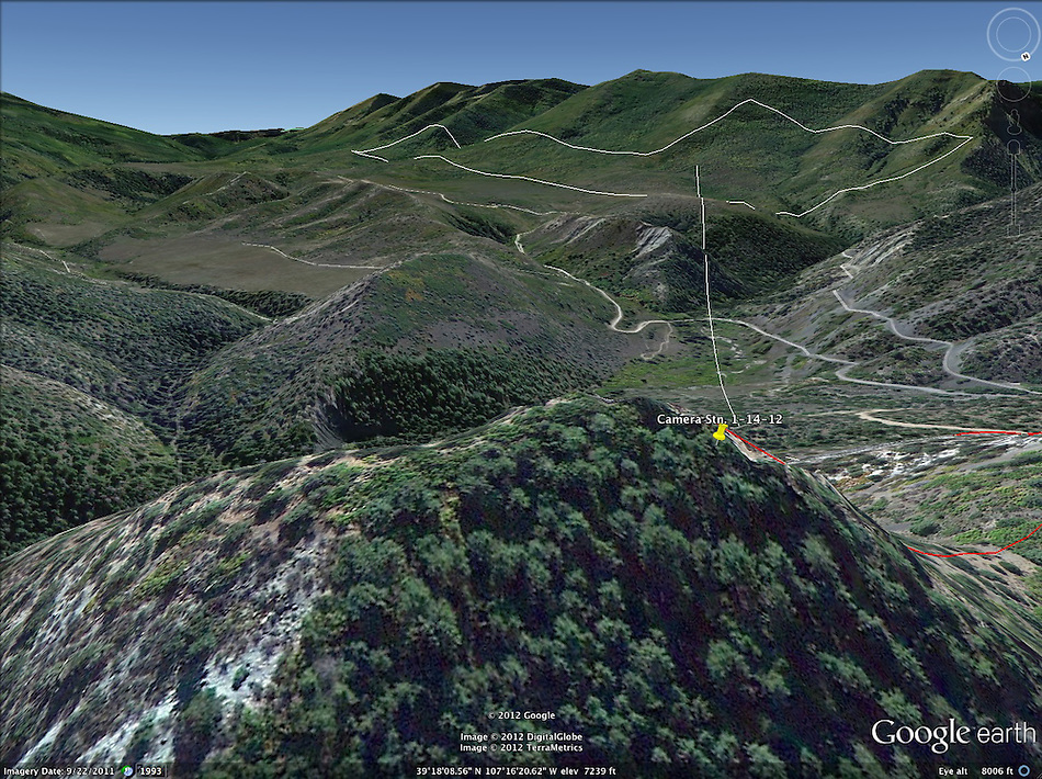
Note the park/pasture to the left, and the access roads that will need to be enlarged and "improved" when the trucks start rolling.
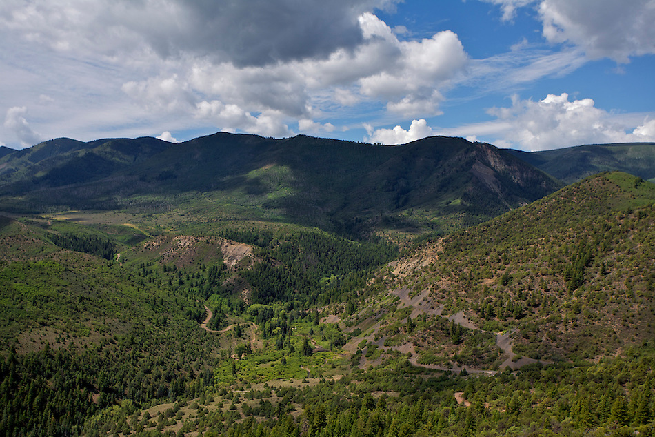
The second from left image in the pano, matching pretty good the Google Earth image:
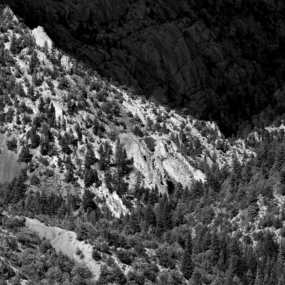
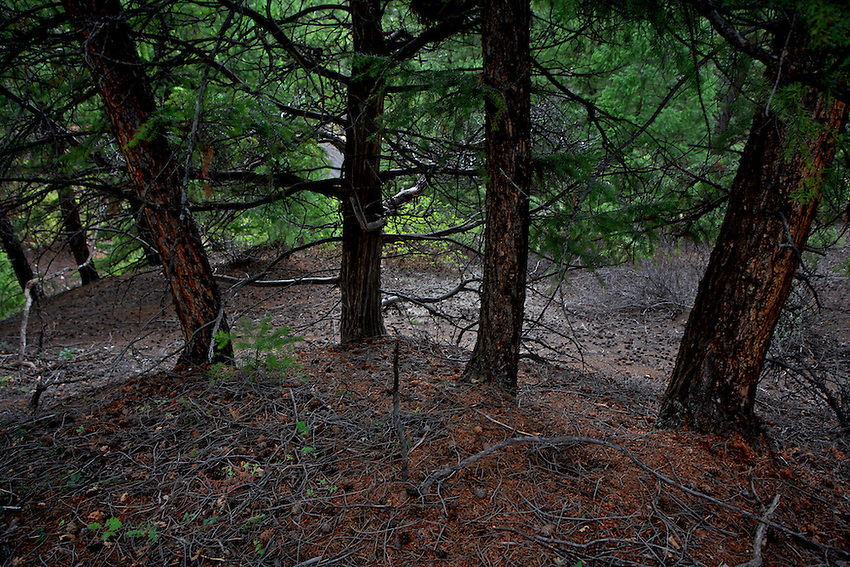
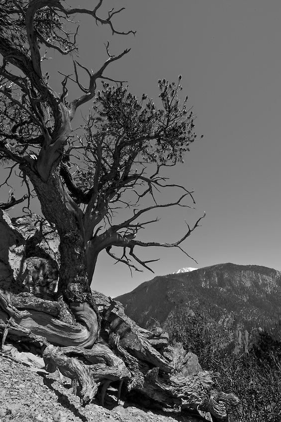
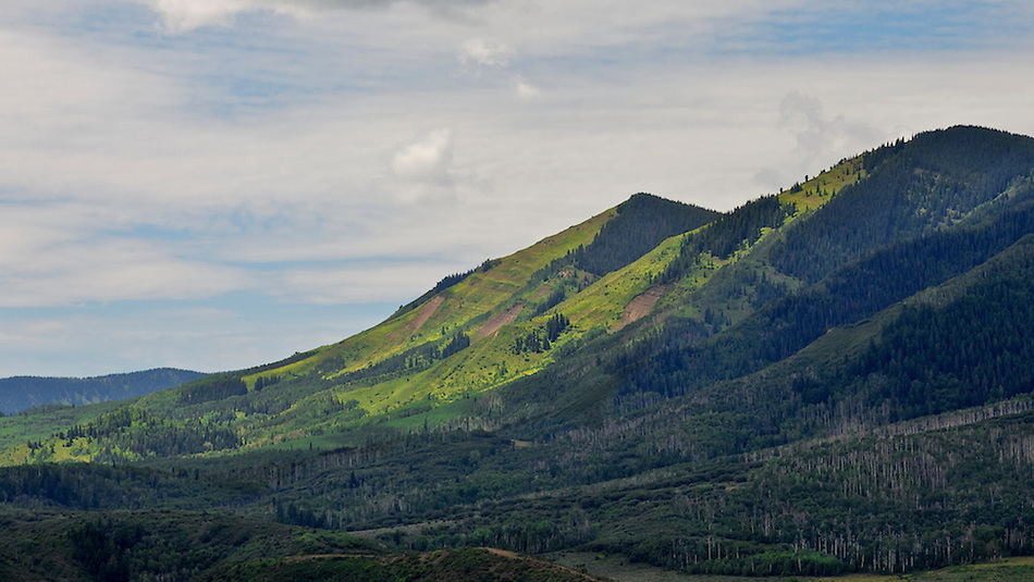
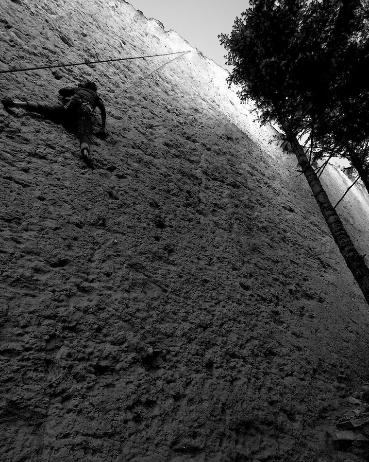
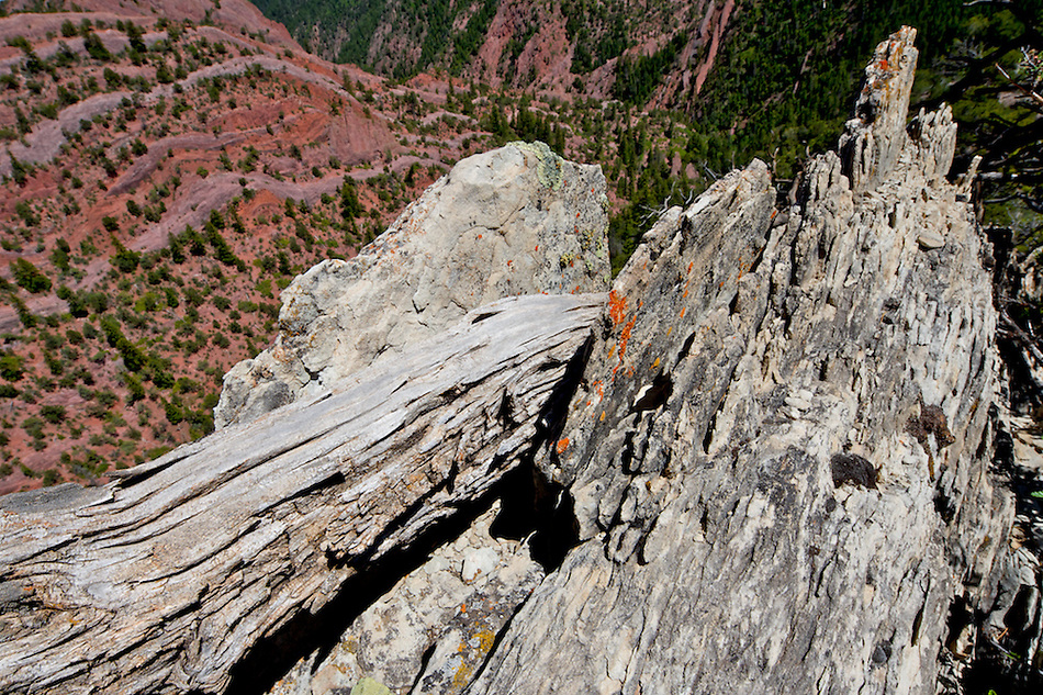
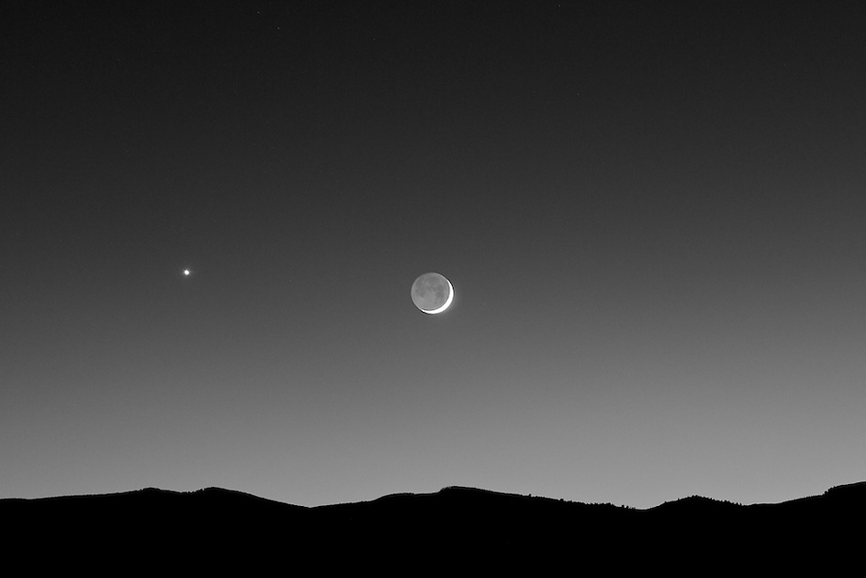
Misc. Images from the knoll:

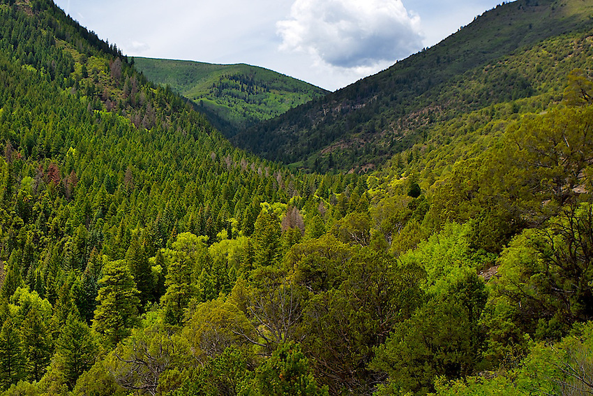
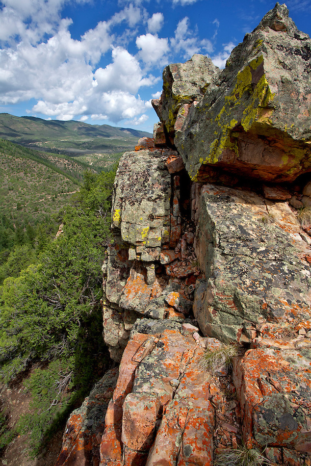
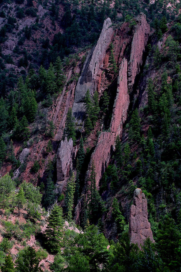
From the opposite side of Thompson Creek ("my" knoll is an extension of this fin structure up higher on the ridge):
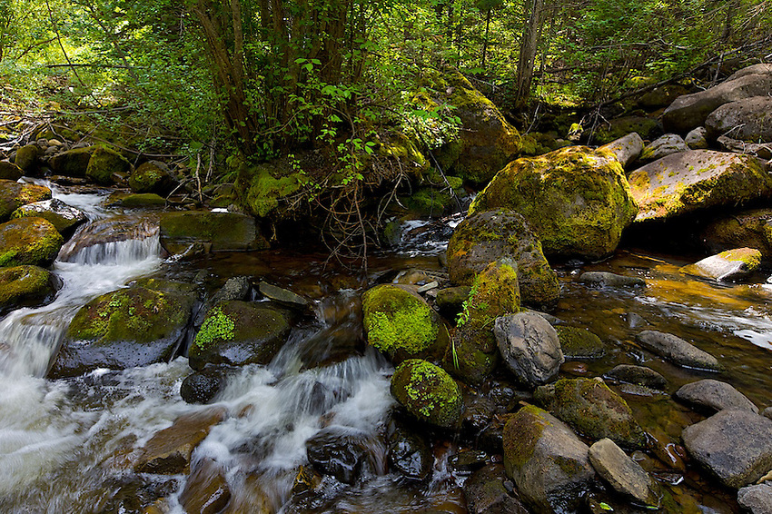
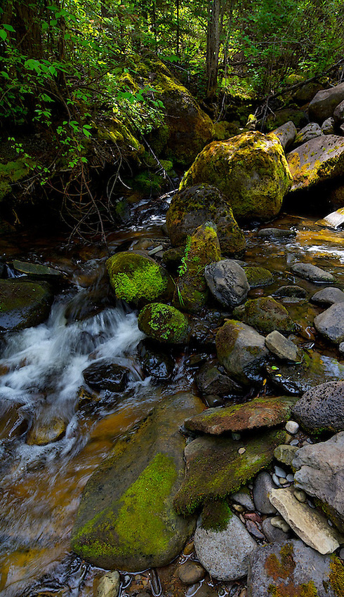
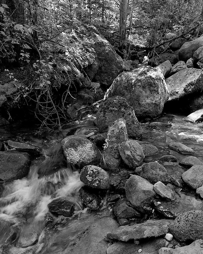
Down near the creek:
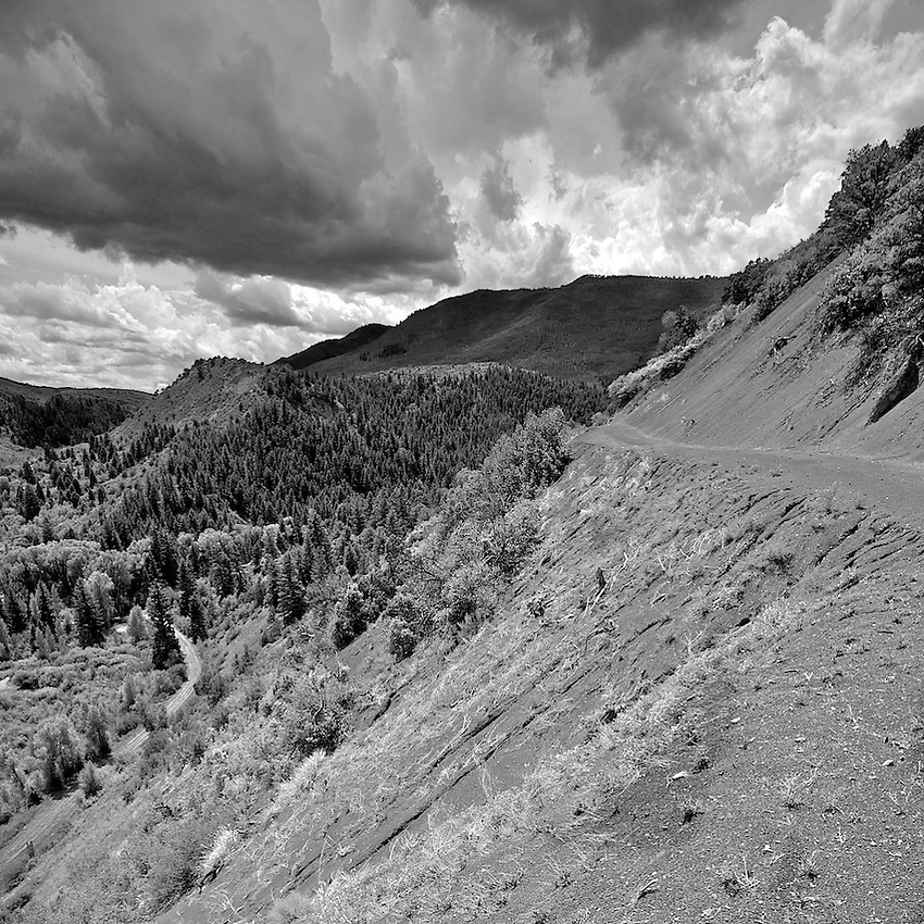
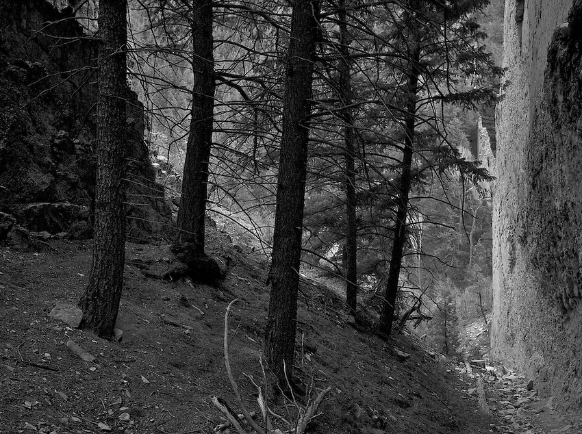
Up above looking down into Thompson Creek:
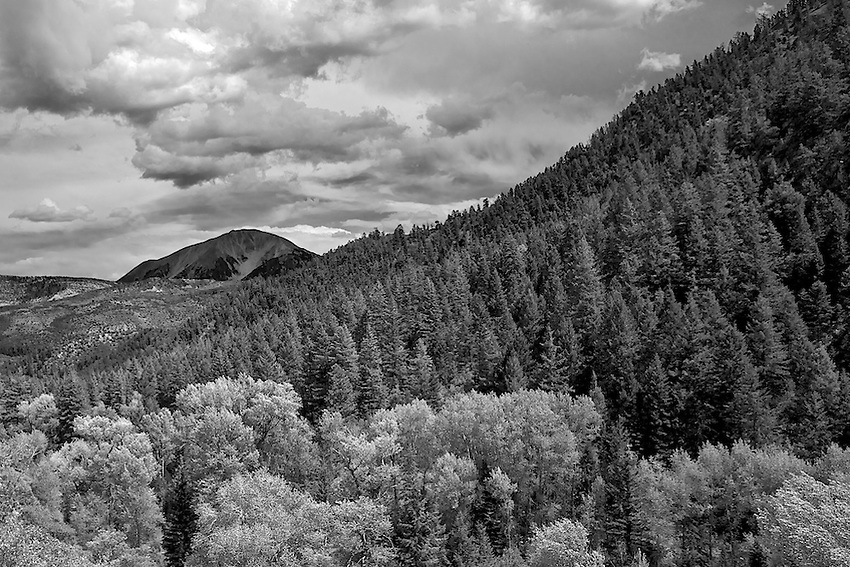
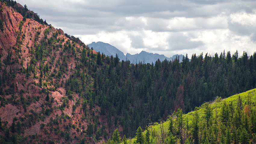
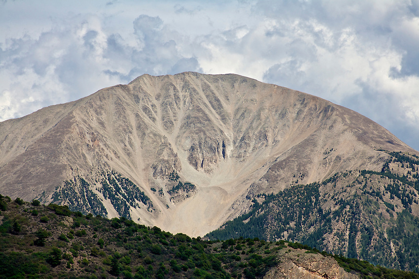
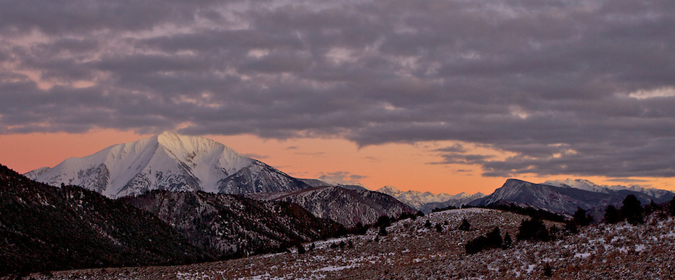
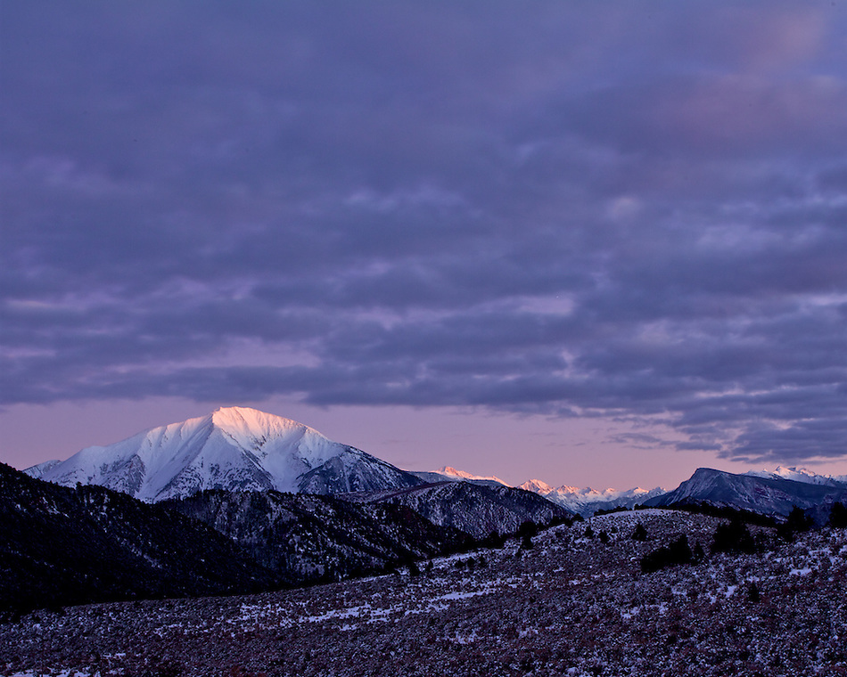
A few more from last winter, Thompson Creek crossing in the foreground, the Divide on the right, Mt Sopris and the Elk Range in the distance:
If you happen by Carbondale, I would highly recommend visiting Thompson Creek. Easy access, with a mellow hiking trail along the creek.
I hope you enjoy the photos. More at:
http://gnwatts.photoshelter.com/gallery/Thompson-Divide-Images-7-29-12/G0000oiSRUem6.Ok
Greg
Featured image for home page:

To start off, I wanted to try to find a spot that would tell a story photographically on a macro level, of the Divide. Last winter I hiked up to this rocky knoll (battery was almost dead in my camera, shit!), which is actually an extension of the linear fin structures found throughout this area, located above Thompson Creek. I recently returned, with a good battery:
The next photo is a 4 shot "pano" I took from the knoll, showing a large section of the divide. The left 2 images in the pano correspond with the Google image below:
This is a view from Google Earth, with this knoll in the foreground, showing one of SG industries lease areas (long rectangular lines, and a small fraction of the total leased areas) on the slope of the Divide:
Note the park/pasture to the left, and the access roads that will need to be enlarged and "improved" when the trucks start rolling.
The second from left image in the pano, matching pretty good the Google Earth image:
Misc. Images from the knoll:
From the opposite side of Thompson Creek ("my" knoll is an extension of this fin structure up higher on the ridge):
Down near the creek:
Up above looking down into Thompson Creek:
A few more from last winter, Thompson Creek crossing in the foreground, the Divide on the right, Mt Sopris and the Elk Range in the distance:
If you happen by Carbondale, I would highly recommend visiting Thompson Creek. Easy access, with a mellow hiking trail along the creek.
I hope you enjoy the photos. More at:
http://gnwatts.photoshelter.com/gallery/Thompson-Divide-Images-7-29-12/G0000oiSRUem6.Ok
Greg
Featured image for home page: