John Goering
Member
- Joined
- Sep 30, 2014
- Messages
- 495
My wife and I did this short backpack trip a couple weeks back and although it didn't end up exactly as planned, anytime in the sticks is good time. The goal was Thompson Reservoir on the South Fork and we accessed it via Mill Creek Road (FS 111) and FS Trail 6015. FS 6015 from Upper Branham Lake does a couple mild switchbacks and then ends up in a long wet meadow before becoming really steep and going over a pass into South Fork-where it disappears for all practical purposes although still shown on maps. The descent to the Reservoir is also pretty steep.
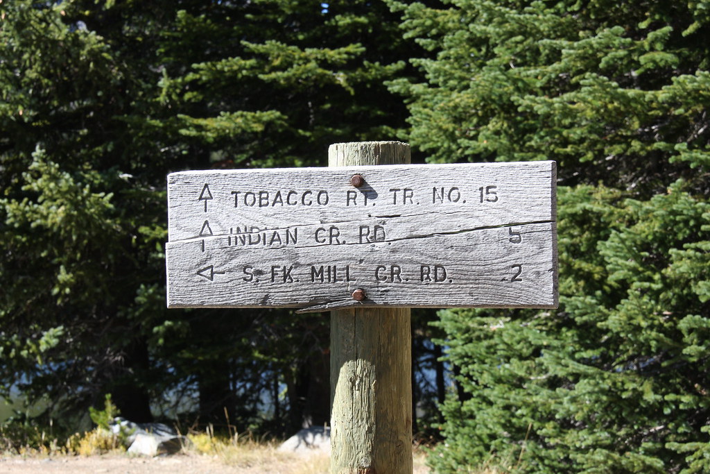
Trailhead sign. Indian Creek Road has been gated at the confluence of the North and South Forks for several years, adding about 2 miles to what is on the sign. Thompson Reservoir is just shy of 3 miles.
FS parking lot at Upper Branham Lake.
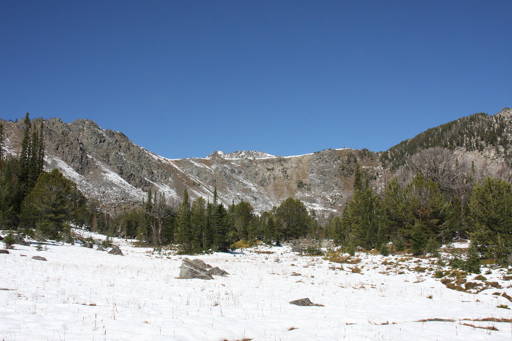
Repeat after me: it's still summer, it's still summer, it's still summer------. Below the wet meadow and this was the first time I ever started a backpack trip in the snow.
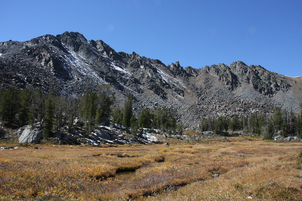
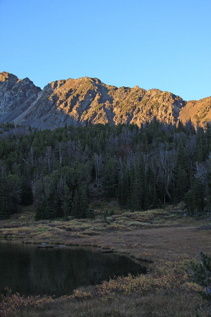
The wet meadow. Un-named mountain behind.
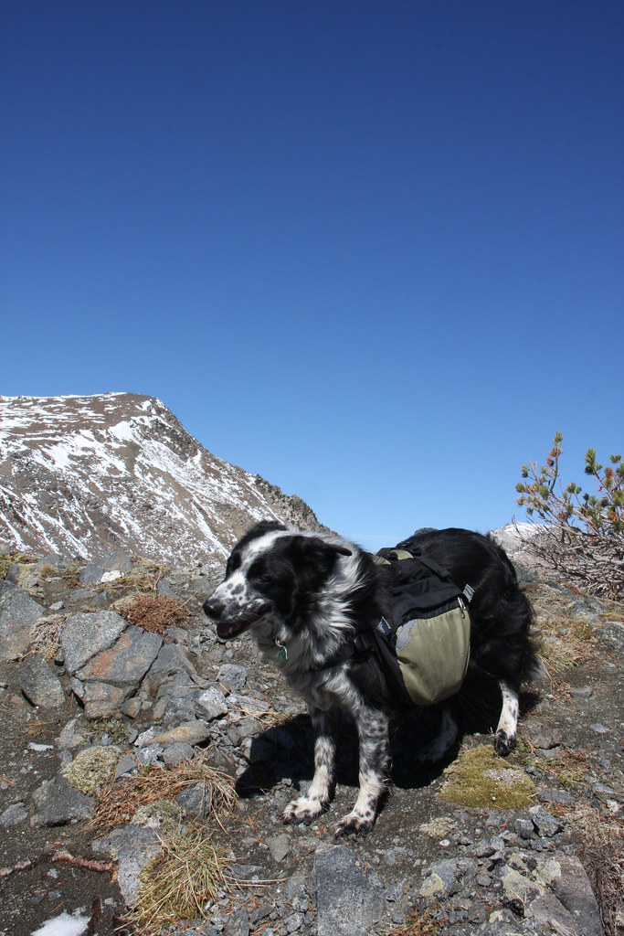
Junior canine at the pass. I might add, there was a very stiff wind blowing most of the entire first two days of the trip.
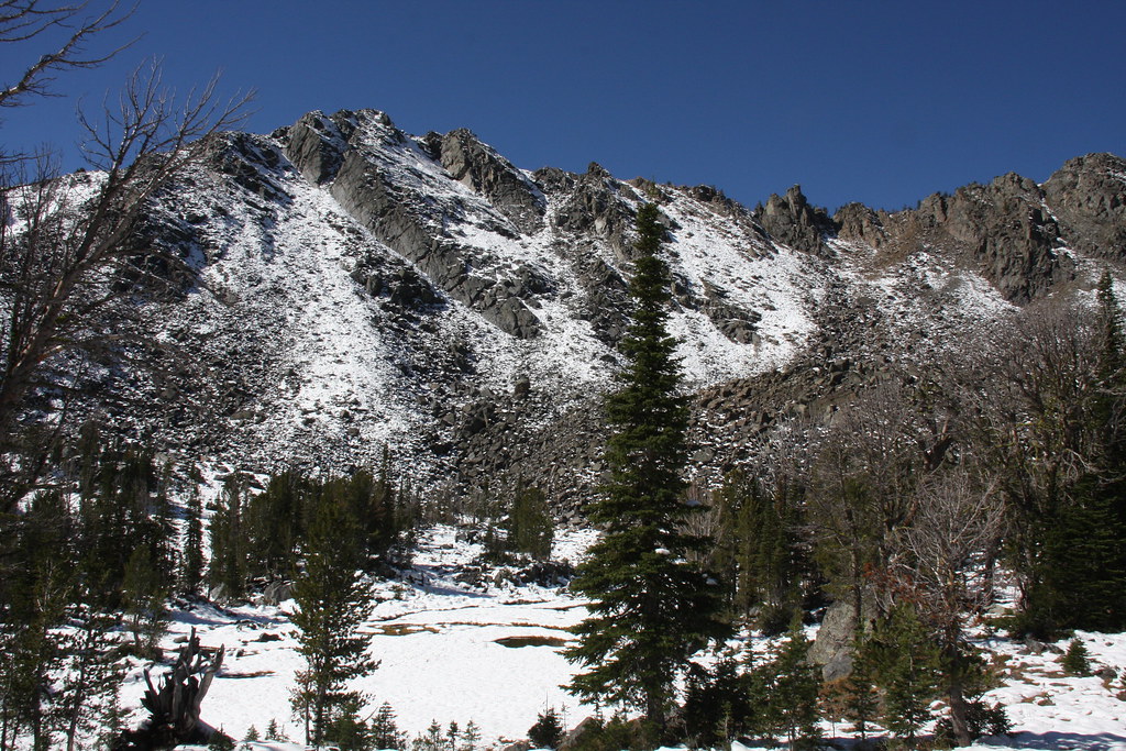
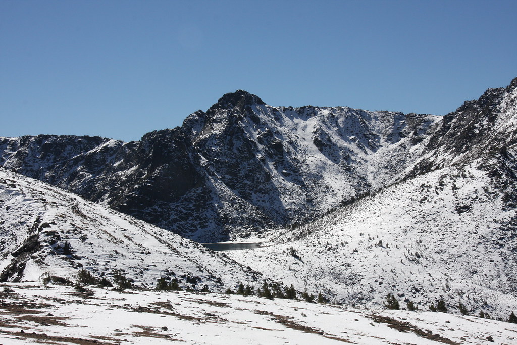
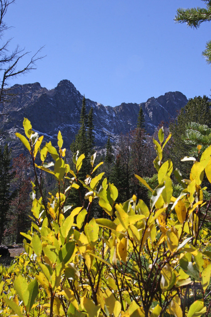
Gneiss Lake and Leggat Mountain from the pass.
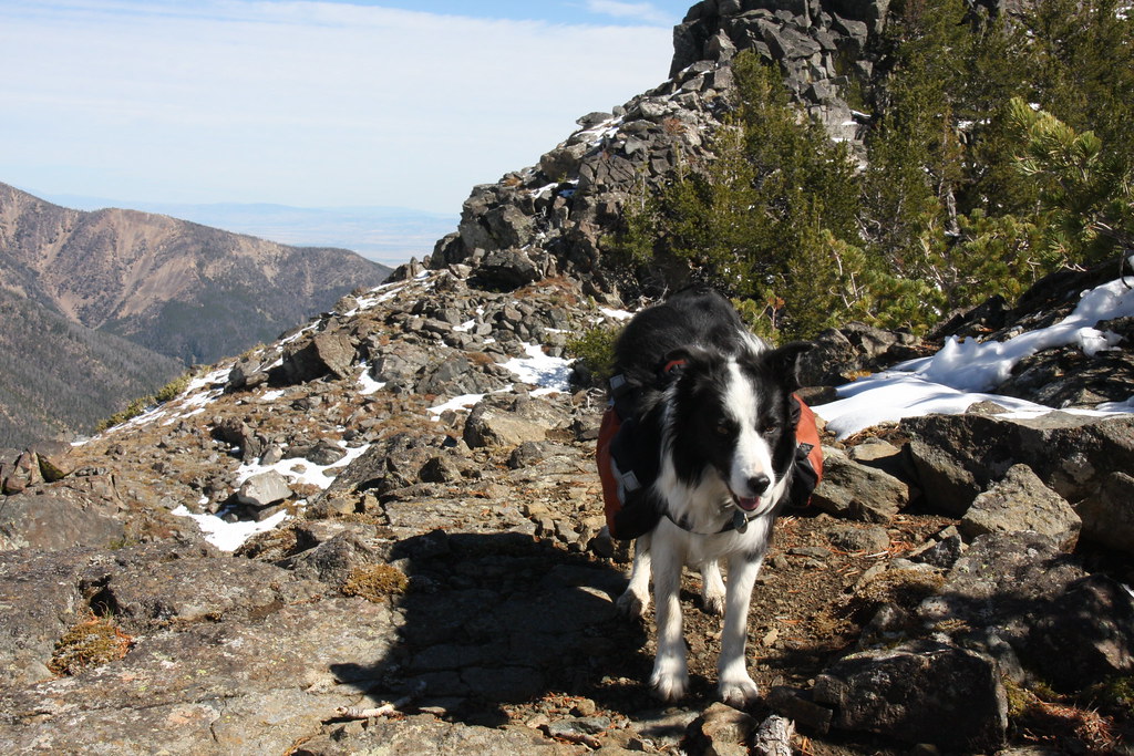
Senior canine at the pass. Gallatin Valley behind.
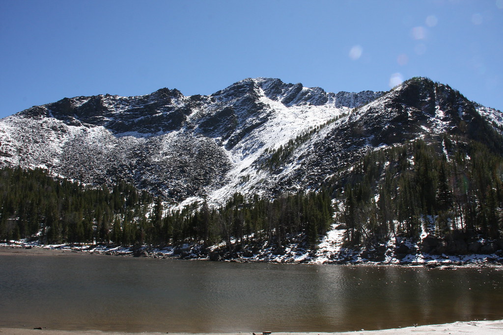
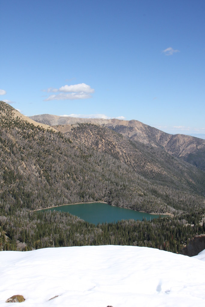
Thompson Reservoir and another un-named mountain.
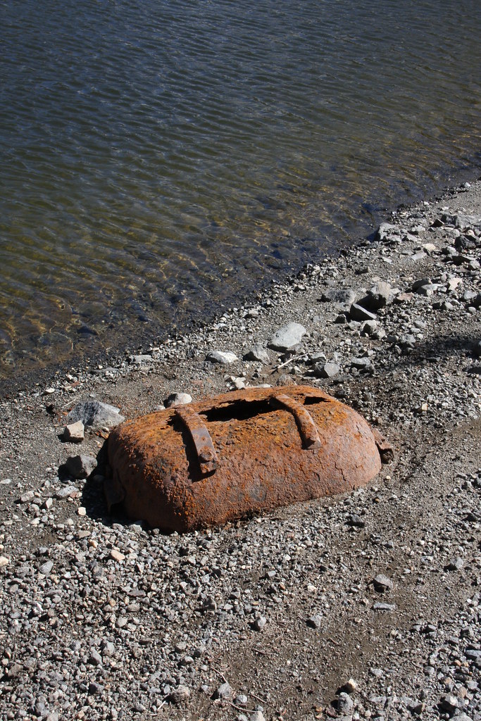
Remains of construction equipment used to build the approximately 10' high dam-Fresno scraper. It was apparently all real horse power.
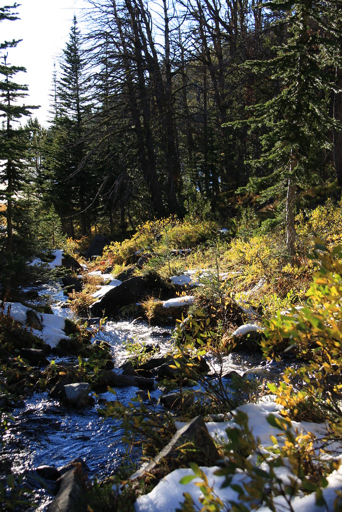
South Fork Indian Creek above the reservoir.
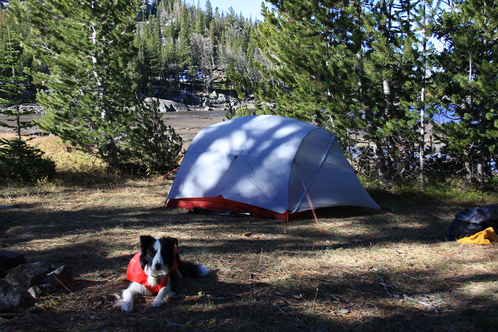
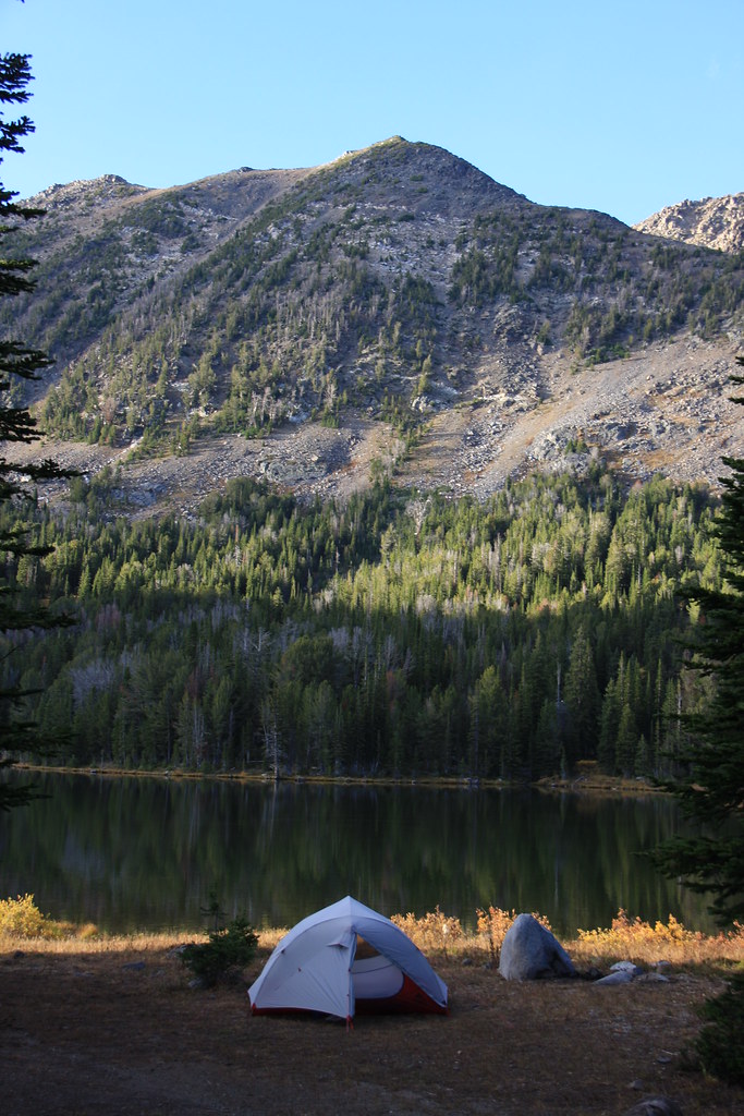
And another wind test of MSR's Mutha Hubba NX tent (passed). I'm really liking that tent.
The next morning on our way back to Upper Branham Lake. Bell Lake in South Willow Creek. The 30 mph wind and 50 degrees had melted a lot of the snow but there remained some big cornices.
Some of the wet meadow again. By the afternoon of day two, a lot of the snow was gone and the wind was abating a bit.
The trip plan was to pack up and move over to Wisconsin Creek for the second night but that went away and we stayed in the Upper Branham Lake FS campground-last time I stayed in a developed campground must have been 25 years ago-the outhouses and the water well were sort of novel, not to mention we had the entire place to ourselves.
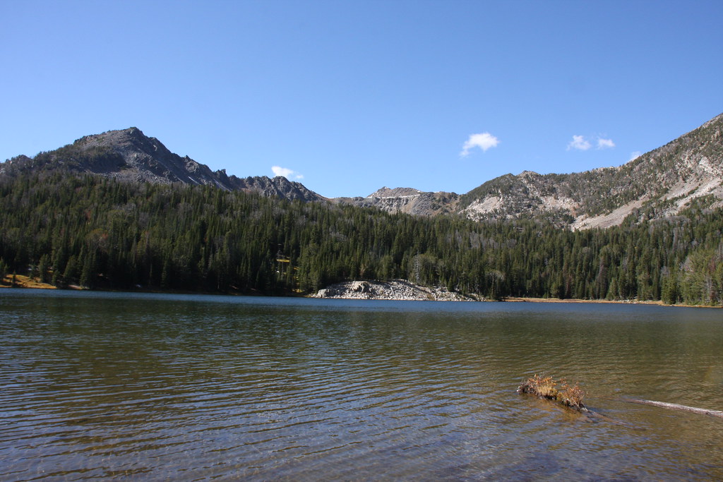
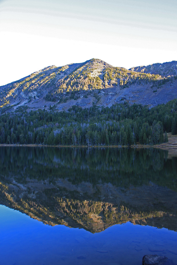
Upper Branham Lake.
While my wife flung line at a few brookies, I wandered about with the camera.
The next morning arrived calm but very crisp-guessing it got down to the teens someplace.

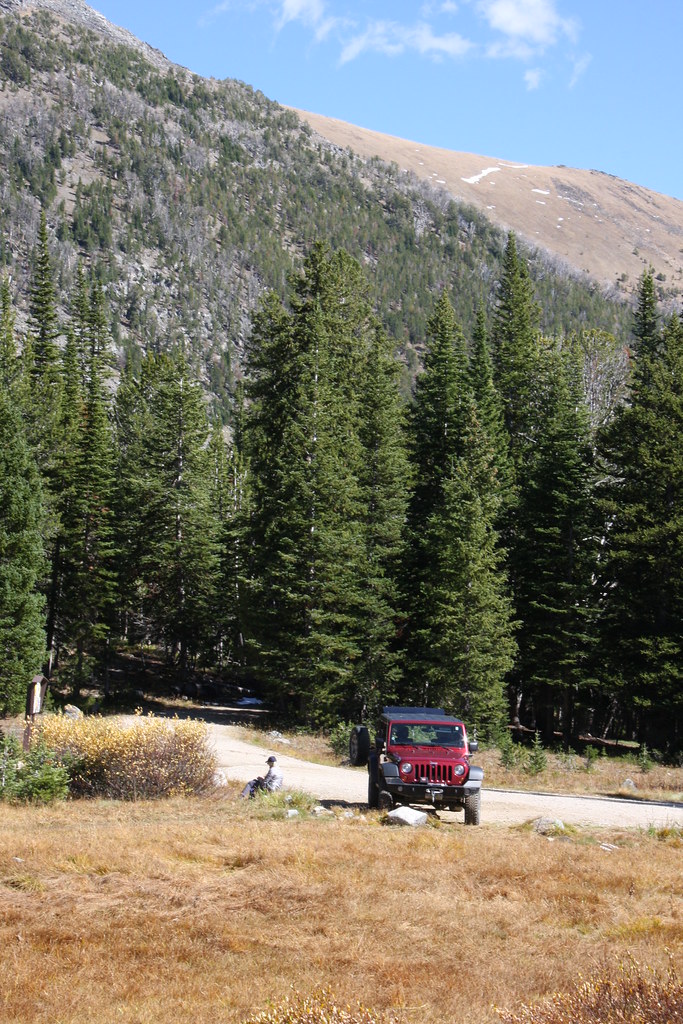
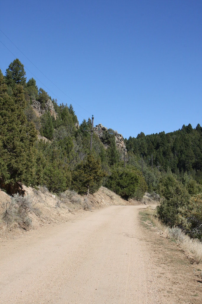
Mill Creek road on our exit. Mill Creek Road does get a bit rough in places but only if you are driving something like a Maserati will it strike fear in your heart.

We again took the shortcut up Granite Creek to South Meadow Creek on the way home-so much better than going on the pavement through Virginia/Nevada Cities and Ennis.
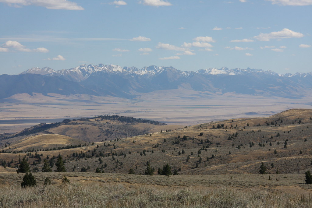
Madison Range south of Ennis from Granite Creek Road.
All in all, another nice trip-at least for geezers. Still hope to hit Wisconsin Creek this fall.
Trailhead sign. Indian Creek Road has been gated at the confluence of the North and South Forks for several years, adding about 2 miles to what is on the sign. Thompson Reservoir is just shy of 3 miles.
FS parking lot at Upper Branham Lake.
Repeat after me: it's still summer, it's still summer, it's still summer------. Below the wet meadow and this was the first time I ever started a backpack trip in the snow.
The wet meadow. Un-named mountain behind.
Junior canine at the pass. I might add, there was a very stiff wind blowing most of the entire first two days of the trip.
Gneiss Lake and Leggat Mountain from the pass.
Senior canine at the pass. Gallatin Valley behind.
Thompson Reservoir and another un-named mountain.
Remains of construction equipment used to build the approximately 10' high dam-Fresno scraper. It was apparently all real horse power.
South Fork Indian Creek above the reservoir.
And another wind test of MSR's Mutha Hubba NX tent (passed). I'm really liking that tent.
The next morning on our way back to Upper Branham Lake. Bell Lake in South Willow Creek. The 30 mph wind and 50 degrees had melted a lot of the snow but there remained some big cornices.
Some of the wet meadow again. By the afternoon of day two, a lot of the snow was gone and the wind was abating a bit.
The trip plan was to pack up and move over to Wisconsin Creek for the second night but that went away and we stayed in the Upper Branham Lake FS campground-last time I stayed in a developed campground must have been 25 years ago-the outhouses and the water well were sort of novel, not to mention we had the entire place to ourselves.
Upper Branham Lake.
While my wife flung line at a few brookies, I wandered about with the camera.
The next morning arrived calm but very crisp-guessing it got down to the teens someplace.
Mill Creek road on our exit. Mill Creek Road does get a bit rough in places but only if you are driving something like a Maserati will it strike fear in your heart.
We again took the shortcut up Granite Creek to South Meadow Creek on the way home-so much better than going on the pavement through Virginia/Nevada Cities and Ennis.
Madison Range south of Ennis from Granite Creek Road.
All in all, another nice trip-at least for geezers. Still hope to hit Wisconsin Creek this fall.