- Joined
- Dec 23, 2013
- Messages
- 4,110
@TractorDoc has already written up the definitive trip report for this trip, though for some reason he broke it up into two parts. 
Tractordoc's Report Part I
and
Tractordoc's Report Part II
If you want the truth and nothing but the truth, please take the time to read his writeups, they are excellent. But if you're willing to take a break from reality, then take the time to make your way through my long winded, occasionally reminiscing, surely rambling, half-truth attempt at entertaining those who are brave enough to continue.
Now before I get into the thick of it, I need to take a few minutes and thank Dave aka @TractorDoc for reaching out to me a few years ago to ask if I'd be willing to partake in a backpacking trip with him to Heart Lake. Though Dave had never backpacked in the backcountry of Yellowstone before, he was familiar with the Park and seemed to have a love for the various thermal areas that the Park is famous for. Little did Dave know that my past trail comrades were slowly pealing off and not able to do extended backpacking trips any more with me, so I was eager to take Dave up on his offer. Poor Dave!
Now hiking with Scatman can be quite an ordeal if one is not prepared. Besides my over abundant love for Yellowstone, I'm generally a quite person. In other words, I don't talk much. So if it is chatter that you are looking for, you've got the wrong guy. That extends to my time hiking too. You'll never hear me say, "Hey Bear" along the trail. I'm there to see bears and all the other wildlife that the Park supports. Driving them away by me being noisy is just unconscionable to me. I'm also not a smiler. I tend to be more stoic in my demeanor than most. If you ask me to smile, you'll end up with honey all over your tent!
  That being said, internally I'm kind of a clown, and I have a dry sense of humor once you get to know me. I have a childlike naivete about me that I believe serves well in the backcountry. I wonder what is up this drainage? Is there a grizzly around this bend? Why are the old trails no longer maintained? Why don't rangers occupy the patrol cabins all summer anymore? Is it okay if I set my camp chair up in a carcass dump? Can I eat tuna at an elk carcass?
  Well, I think you get the idea. Along with my childlike curiosity, there is a good dose of plain old common sense, that I've relied on for the past 33 years or so when it comes to backpacking. That's not to say that I haven't made mistakes, because I've made plenty, but hopefully I learned from them and won't make the same ones again - probably wishful thinking on my part.
  Well @TractorDoc, what do you think? Does that about sum me up? Please add to the list, because I'm sure you see things that I don't see in myself. Bad characteristics are welcome too in your assessment.
With all that being said, I must now explain my affinity for Yellowstone as best I can.
When I graduated from Utah State University back in 1987 (Jesus, that's a long time ago), I drove up to Puyallup, Washington to take a girl that I was friends with home, and on the way back I made my first trip through Yellowstone. Of course, on this trip I did all the touristy things one does, from Mammoth all the way to the south entrance. Along the way I saw three moose, elk, and my first sighting of the majestic bison. Wow! I was hooked. Not only did the wildlife sightings of the Park impress me, I also took in the smells and the sounds, the crispness of the air, along with the intrigue of what might lie beyond the pavement of the Grand Loop Road as I made my way back to Salt Lake City. This first trip also gave me a lay of the land so to speak. It helped fill in some of the gaps that just looking at a map doesn't give you. Since that trip, I have returned to Yellowstone every year, sometimes multiple times, to hike and backpack, and occasionally put my tourist hat back on. In those 35 years, I've seen just about everything - except a cougar, beaver, and a wolverine that is. I got married (poor girl), and introduced my family to the Park. I started my kids out young at four years old backpacking in the Park. The only area that I haven's spent some time in in the Park is the Slough Creek area. I've looked down on it from just off Bliss Pass, but I haven't felt the area under my feet. I'm saving that area for when I'm in my sixties. So you could say that Yellowstone now fills my soul; it is my home base if you will. It is where I feel most comfortable in my own skin. Plop me down a small hilltop to watch a herd of bison, or a grizzly digging in the meadow below, or maybe watch Otter Creek wind its way to the Yellowstone River, and I'm in heaven. I've told my wife (poor lady), that when its my time to go, to drop me off at the Mary Mountain Trailhead and let me wander off to my final resting place. I'll be sure and give @Bob the UTM coordinates so that he can share my final resting place with you all just in case you'd like to visit.
I'm sure everybody has their special place like I do, maybe not Yellowstone, but perhaps the Grand Canyon, the southwestern desert, southern Utah, the Sierras, Glacier, the Smokies, or maybe someplace in one of the many wilderness areas. Cherish them while they are still around.
Alright, alright, I'll get off my soapbox now. Get on to the good stuff so to speak.
This is a trip that took place around mid-September that focused on a couple of backcountry lakes, some thermal areas, and the beautiful Pelican Valley. Of course Scatman was part of mangy outfit that set out on this adventure, along with three lads from Ohio, one of which I had met before, but the other two were unknown to me. Let's hope that the luck of the Irish would be with us for our journey.
Pre-hike details
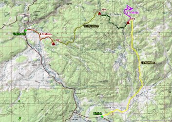
Trip overview map - 5 days and approximately 49 miles. Note - these are Scatman miles so know that your mileage may vary.
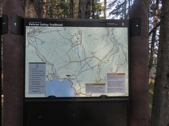
At the Pelican Valley Trailhead, waiting for Dave to return as we positioned vehicles for a shuttle
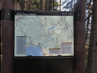
What was on my mind while waiting.
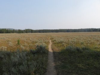
Pelican Valley Trail leaving the trailhead
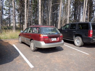
The Sube is anxious.
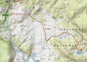
Day 1 - Wapiti Lake Trailhead to Wrangler Lake via the Hayden Valley Falls - 4.9 miles give or take
Day 1 overview map
I was very grateful that this was a short day. After hiking over seventeen miles on our day hike the day before, my legs were tired, and I wanted to rest them up for day number two that was sure to test their endurance.
We started of at the Wapiti Lake Trailhead, but would soon find ourselves on the Howard Eaton Trail heading south, towards Sour Creek and the Hayden Valley Falls. From the falls, we traveled cross country to the Wrangler Lake Trail and then on to Wrangler Lake and our campsite 4W1.
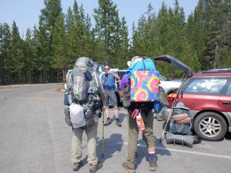
Gathering courage at the Wapiti Lake Trailhead. I'm good with anything that says Tie-Die. Those two packs have to weigh 70 lbs.
apiece. Check out that fine pack resting by the Subaru, checking in at a hearty 43 pounds (includes camera gear and water).
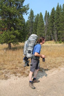
This man is ready for anything
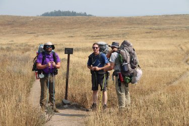
They are already having to wait for me. I'll blame it on the smoke and heat.
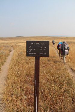
Maybe I should have taken the left fork? How does @TractorDoc move so fast?
I think we may need some graduate student in human propulsion to do a study.
Patrick's tie-die seat has me hypnotized throughout this trip.
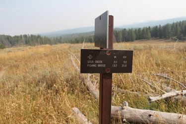
Hot dog! The Howard Eaton Trail. There seems to be a lot of trail junctions in a short period of time. I think @TractorDoc was
trying to throw the Scatman off his game.
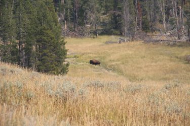
The Balrog of Hayden Valley. You shall not pass!
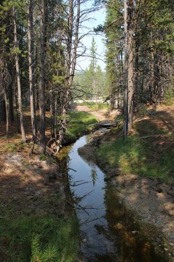
A small tributary of the Yellowstone River
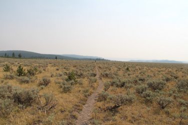
I can barely see those guys. Damn! Maybe if I skipped, I could go faster? Nothing like being on the Howard Eaton though.
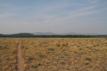
I turned around and took a picture to the north, with Washburn Range in the smoky distance
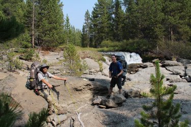
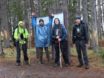
Hey, no smiling! Reaching the Hayden Valley Falls, while Cody rests his heavy pack.
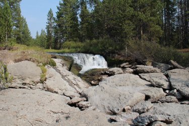
Also known as the Sour Creek Falls
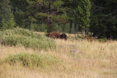
Yeah, I see you over there. He's keeping his eye on us as we begin our off-trail route to the Wrangler Lake Trail. I'm pretty sure
that he is thinking "Amateurs!"
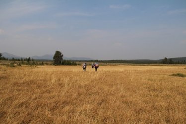
Putting some distance on me again. Dave is searching for the high ground. Very uneven terrain through these meadows, with
bison track throughout - though on the ankles.
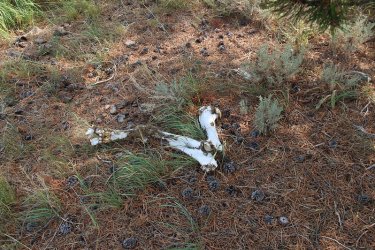
Bison bones
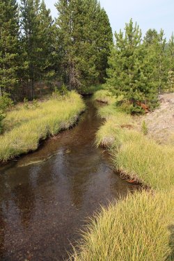
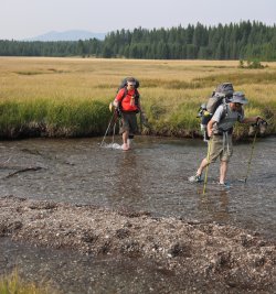
Sour Creek. It is deeper than it looks
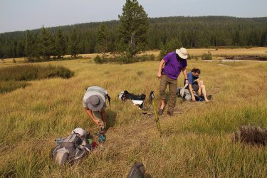
Preparing for the mighty ford
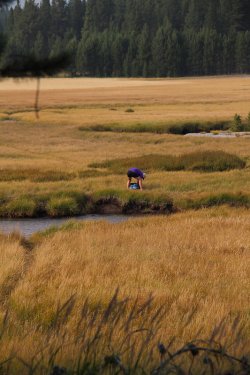
Always a straggler. And usually it is me.
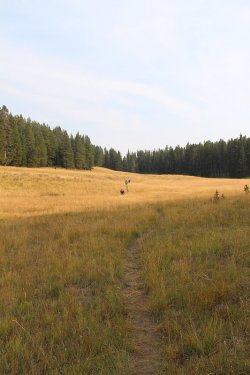
They appear to be in a hurry to get to camp. Wrangler Lake is just beyond the trees.
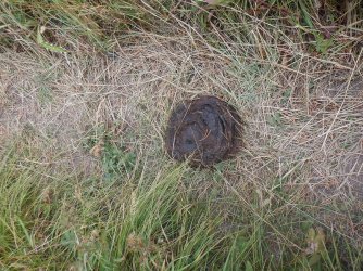
This could be face plant time. I did feel a little woozy.
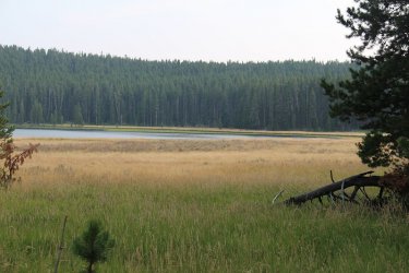
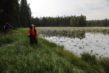
Wrangler Lake comes into view
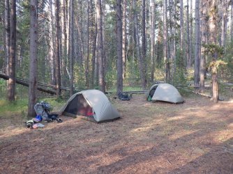
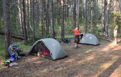
Boy, that tent on the right sure looks good. As for the one on the left, I think it needs some work.
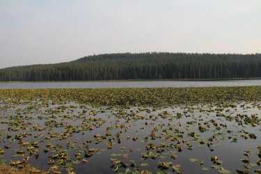
A better shot of the lily pad covered Wrangler Lake in the evening
Day 2 - Wrangler Lake to Joseph's Coat Springs - 10.25 miles off-trail
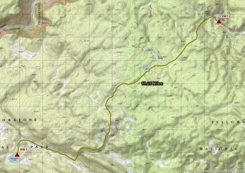
Day 2 overview map
I knew this day would test me after the route had been decided upon. I have been down the Sour Creek Drainage before and it is a rough go, with downfall, burn and marsh along most of its length until it reaches Hayden Valley.
We'd begin by leaving the lake and heading up Sour Creek until we reached Bog Creek. At that point, we originally wanted to follow Bog Creek until we reached its first tributary, and then follow that over to Dewdrop Lake. Unfortunately, we didn't leave camp early enough to take in Dewdrop and still make it to Joseph's Coat before dark. So instead we checked out the thermal areas along the creek, then cut cross country to the unnamed pond 8512 (highlight for me). Soon after the pond, we crossed the official Wapiti Lake Trail and then made our way down into the Broad Creek Drainage and Joseph's Coat Springs.
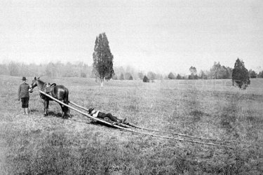
Dave has promised me that he will get me to Dewdrop Lake in the future using a travois, and I'm going to hold him to that. @Rockskipper , we may need your mule for this one.
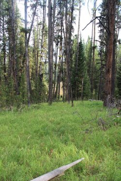
Looks like we might have an issue up ahead.
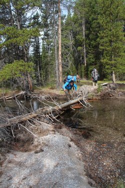
Crossing Sour Creek the old fashion way
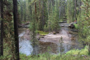
A bend in Sour Creek
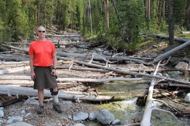
Yours truly on Bog Creek. We took a break here, where Bog Creek flows into Sour Creek. We then determined that heading
straight up Bog was too difficult with all the downfall, so we gained the ridge above the creek to try our luck up there instead.
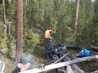
Tuning in the sun angle, phase of the moon along with wind direction as we break on Bog Creek.
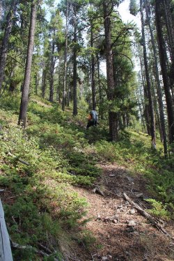
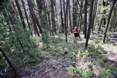
Gaining the ridge above the creek. This was a steep climb, almost rivaling @Bob's
Teton Wilderness horse trails.
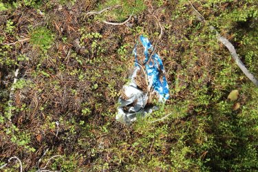
This is the third mylar balloon that I have found over the years in the Yellowstone backcountry. I hauled it out. This, along with the
heavy spoon almost did me in.
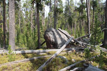
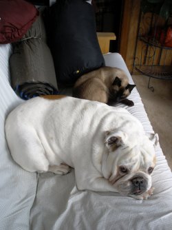
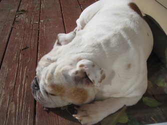
This rock reminded my of my old English Bulldog named Dublin. See the resemblance?
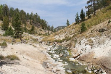
Bog Creek - entering the first thermal area
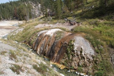
Interesting thermal feature next to the creek
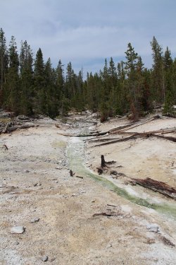
Following a tributary of Bog Creek at this point
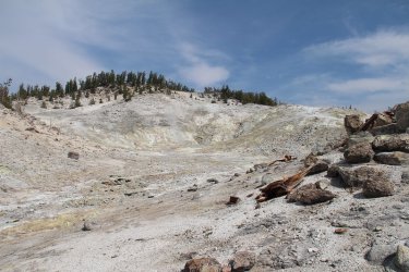
Thermal area
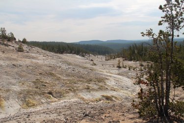
Looking back towards Bog Creek
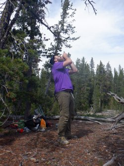
To forever be know as the burrito incident. Cheez-its, Raisins and other things not normally
put on a burrito. Patrick's response was that it needed some sauce. Cracked me up!
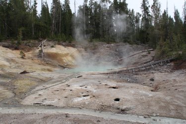
Thermal pool
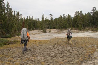
Headed back into the trees and towards unnamed pond 8512
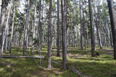
Forest between thermal areas and pond
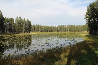
Unnamed pond 8512
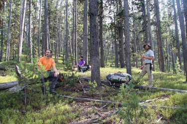
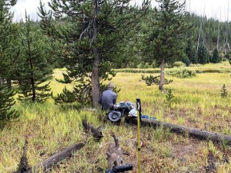
Break at the pond
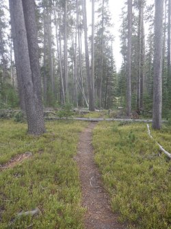
Crossing the official Wapiti Lake Trail
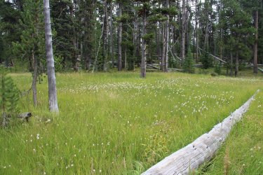
Marshy meadow before dropping off into the drainage that leads to Joseph's Coat Springs
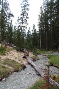
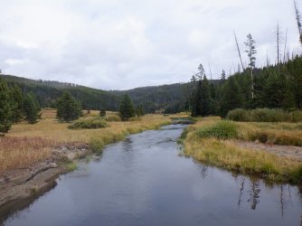
Tributary of Broad Creek that leads to Joseph's Coat Springs
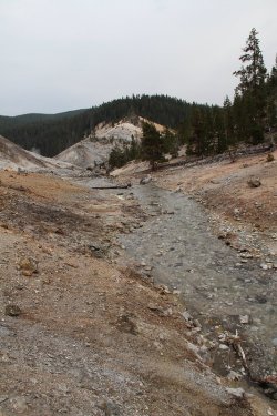
Entering Joseph's Coat
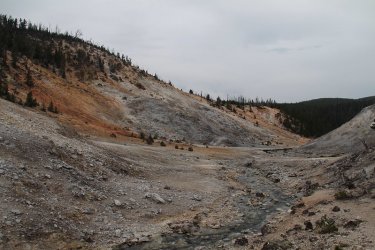
Joseph's Coat Springs
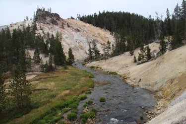
Broad Creek flowing through Joseph's Coat Springs
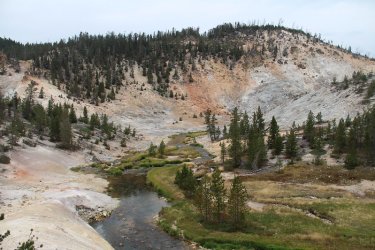
Broad Creek and Joseph's Coat Springs
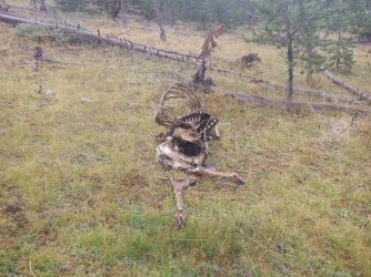
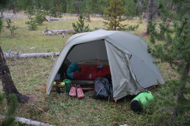
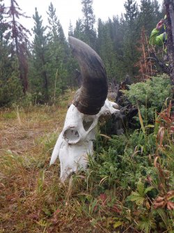
Tent location is critical on these trips. My site was chosen between the elk carcass and the bison bones.
Day 3 - Joseph's Coat Springs to Wapiti Lake - 6.1 miles
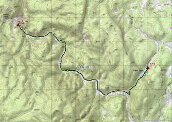
Day 3 overview map
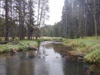
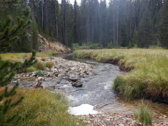
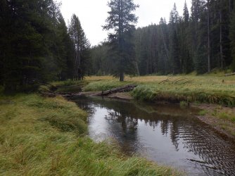
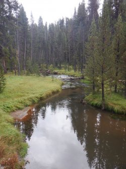
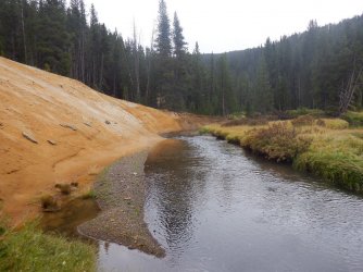
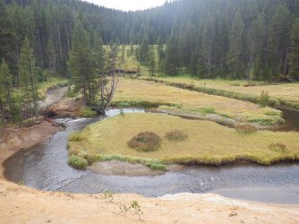
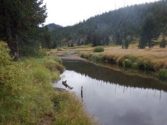
This day turned out to be a hike up the Broad Creek corridor essentially. It rained most of the day on us. We also had to cross Broad Creek a number of times, maybe 15? I enjoyed hiking through the tall grass next to the creek. The meadows, once back on the Wapiti Lake Trail were pretty, especially when viewed from the trail climbing up to Wapiti Lake.
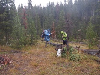
Ready to head out from 4B1 in the rain. The legend of the Cajun Poncho grows.
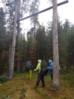
Is walking beneath a bear pole bad luck? Kind of like walking under a ladder. @Rockskipper your
thoughts?
The next group of pictures are all from travelling up Broad Creek
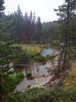
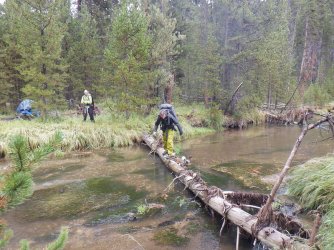 Steady!
And finally back on the a trail
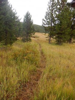
The Wapiti Lake Trail
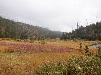
The Broad Creek Meadows
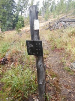
Junction to Wapiti Lake, or continue up Broad Creek. The mileage sign says 0.5 miles to Wapiti,
but my Scat senses told me it was more.
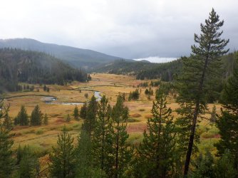
Looking back down on the Broad Creek Meadows as it begins to rain in earnest again
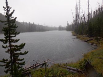
Reaching Wapiti Lake in the pouring rain
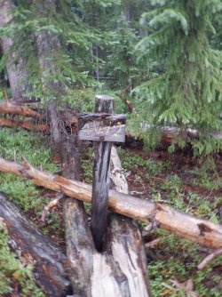
Made it to our campsite
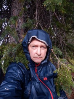
Waiting out the rain at Wapiti
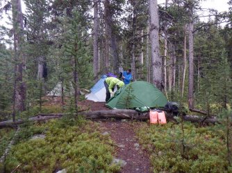
The tent setup on the peninsula
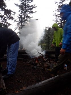
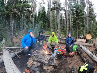
A smoky fire to end our day.
Day 4 - Day Hike to explore the Hot Springs Basin Group - 8 miles roundtrip
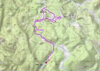
Day 4 overview map
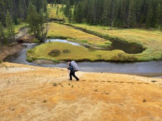
It could take one a couple of days to explore the Hot Springs Basin Group to do it justice. This would be my third trip to the basin, but my first with a thermal enthusiast. It's a wonderful hike up to the basin along Shallow Creek. Beginning with the meadows north of Wapiti and then increasing thermal activity along the creek until you reach the basin proper. We stirred up many sandhill cranes on this day trip.
Hey, does anyone know if this is the way to Harvey's?
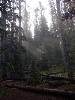
Early morning light coming through the trees on day four
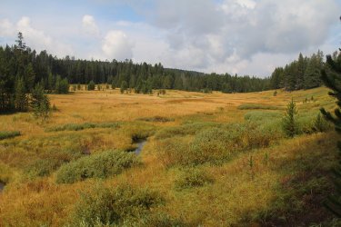
The meadows along Shallow Creek north of Wapiti
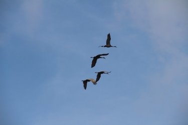
Sandhill Cranes in flight above the meadows
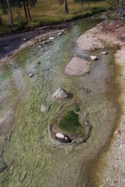
Leaving the meadows, with some interesting growth in Shallow Creek
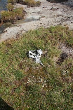
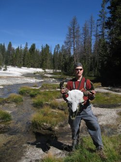 - 2014
This is the same bison skull that I ran into back in 2014. It has deteriorated quite a bit over the years.
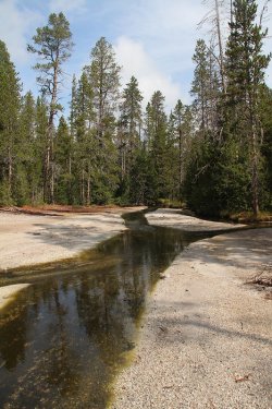
Starting to have a thermal feel to the creek
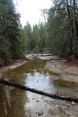
Shallow Creek
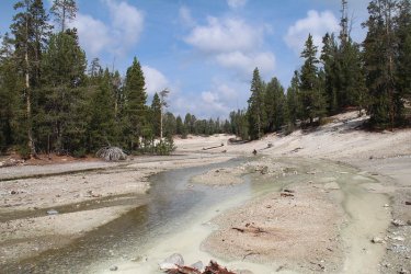
Getting close to the basin
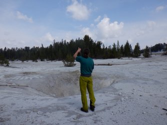
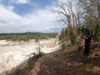
Arriving at the basin. @TractorDoc truly in his element
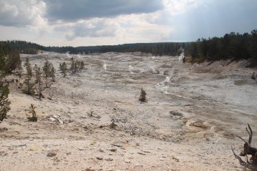
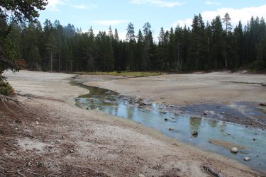
The next group of shots are all of various thermal features located at the Hot Springs Basin Group.
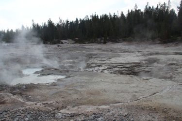
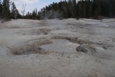
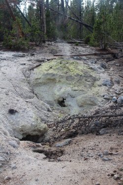
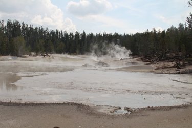
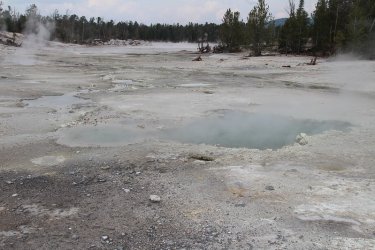
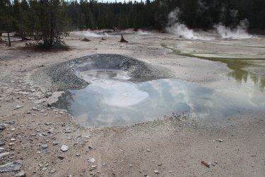
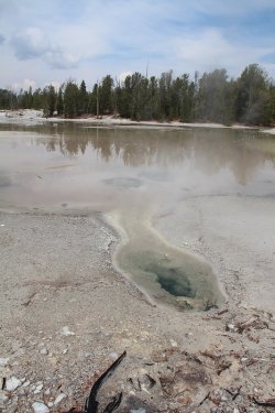
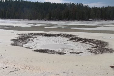
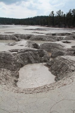
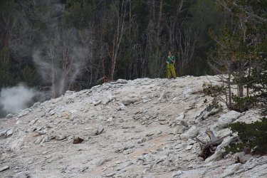 - Taking it all in
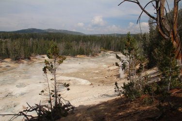 - Shallow Creek below with Specimen Ridge in the distance
Back on Shallow Creek, heading back to camp.
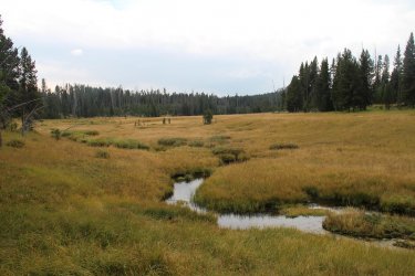
The meadows of Shallow Creek
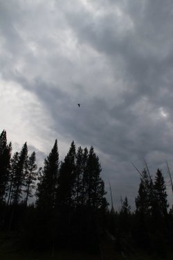
Another sandhill crane takes flight
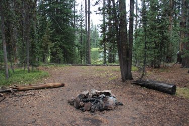
Firepit for campsite 4W3 which shared a bear pole with our campsite. This site sits on the north end of Wapiti Lake
Day 5 - Wapiti Lake to the Pelican Creek Trailhead - 16.6 Miles
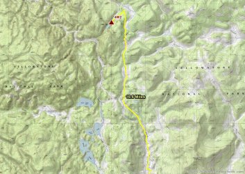
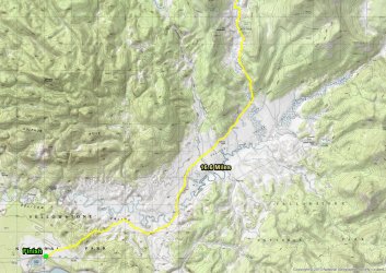
Overview maps for day 5 - Parts A and B
This day will be from now on known as the Death March. This day turned out to be cold and rainy, and it has been a few years since I hiked 17 miles with a full pack on my back. This meant that it was early to bed and early to rise for me. I headed out about 45 minutes earlier than my compadres so that I could complete the hike. They were also going to stop by the mud volcano located along our way. I had already seen it years before, so I would just stick to the trail this time. I planned on not taking any breaks, and I had four energy bars, which I would eat a half of one every hour to keep my energy up. The temperature read 36 on my thermometer as I took off from camp. This day would turn out to be the day of the bison. Herding bison that is.
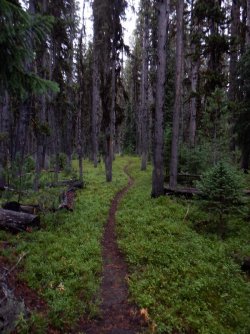
Wet and cold conditions as I headed out from Wapiti Lake
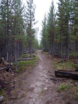
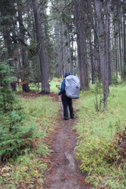
Not a lot of "write home about" scenery at the beginning, just muddy trails
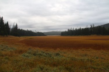
Breaking out into the meadows of a tributary of Broad Creek
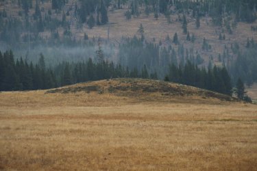
Some sandhill cranes on top of the small hill ahead
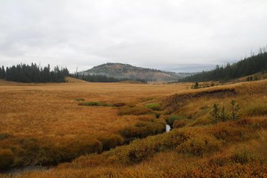
Tributary of Broad Creek
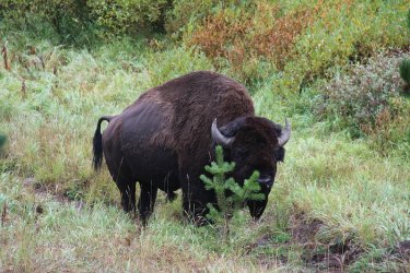
Butt pucker time when I ran into this guy around a bend in the trail
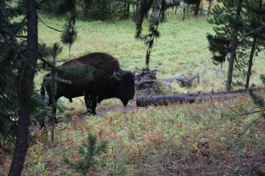
Not quite sure if that is the evil eye or not.
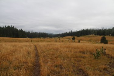
Reaching the meadows of upper Pelican Creek
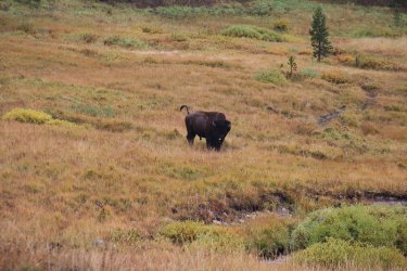
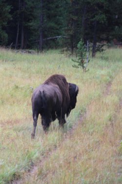
Tail up is not a good sign. I got to herd this bull for about twenty tense minutes. He would stop on the trail turn around and stare
me down multiple times before finally leaving the trail. I kept telling him that I needed to be out of the valley by 7:00 pm due to
bear management rules, and I didn't have time to get into these staring contests. I don't think he was impressed with my pleas.
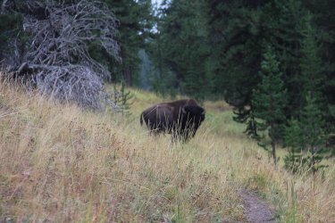
Sorry, my camera focused on the grass in front of the bull, but this was one of his turn around and stare at me contests.
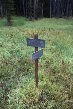
Options to consider at trail junction
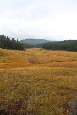
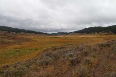
The meadows were just gorgeous
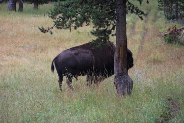
Time for herding round two.
For the love of Pete!
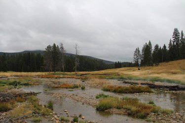
Reaching a ford of Pelican Creek
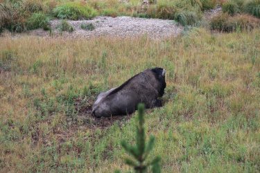
This old bull wasn't about to get up for me. And I was thankful.
Bison trails were as well maintained as the official trail at this point. I wasn't really sure which I was on at times.
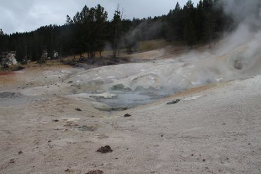
The Mudkettles? Just before I reached this thermal area, I got stuck in a marshy area that took some time for me to extract myself
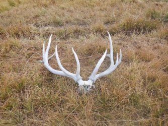
Elk antlers along Pelican Creek
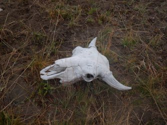
And a bison skull too
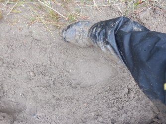
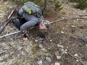
Fresh grizzly tracks on the trail
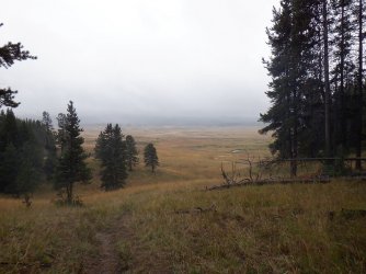
Finally reaching Pelican Valley proper
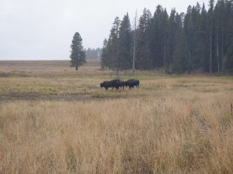
See these three bison? The trail goes around the to the north. As I approached them, they took off heading further into the valley.
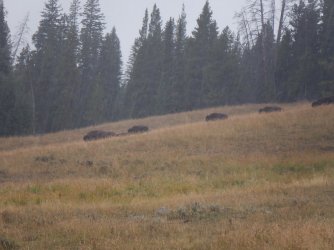
Unbeknownst to me there were bison on the hill above me next to the tree line. The three that took off caused the fifty or so up
on the hill to stampeded all around me. Some very tense moments as they ran off the hill. I could see their breath, and hear them
grunting as they passed by me. It all happened so fast that I really couldn't do anything but stand still and watch them go by.
Something that I soon won't forget.
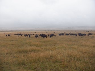
The herd as they stopped further in the valley
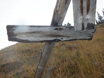
An old trail junction sign that no longer says anything.
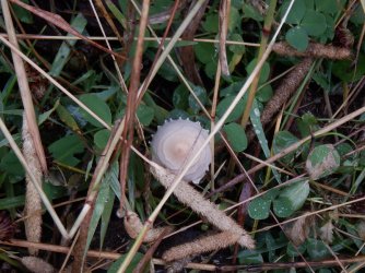
A Pelican Valley mushroom
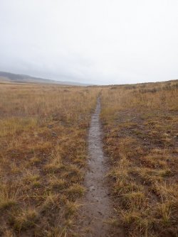
Just wet and muddy trails to look forward to as I passed through Pelican Valley
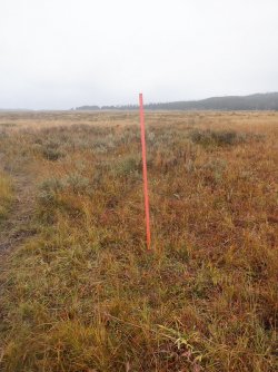
I think this means that I am on the right trail
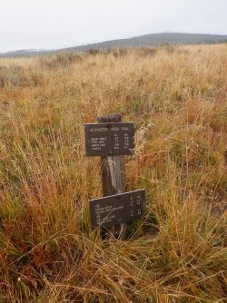
Trail junction for the Astringent Creek Trail. There used to be an old wooden sign here.
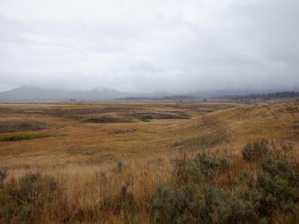
Pelican Valley
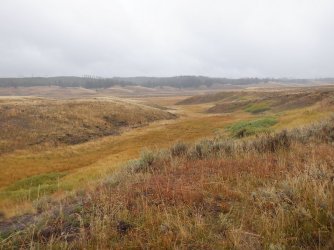
Some hilly country too in the valley
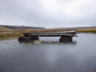
The old Pelican Creek Bridge. There used to be an old service road that extended out into the valley.
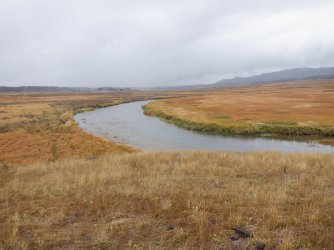
Pelican Creek on its way to Yellowstone Lake
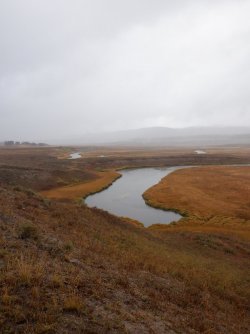
A cutoff oxbow bend with Pelican Creek beyond
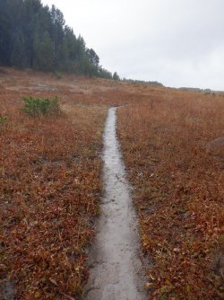
Muddy trail
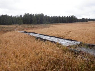
The last footbridge and maybe the only one of the trip
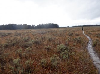
Well, they finally caught me and passed me.
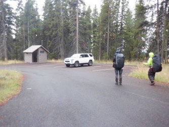
Arriving at the trailhead and our shuttle vehicle.
I was cold and hungry by the time I reached the trailhead. My core was cold. It felt good to get in out of the rain and warm up in the vehicle on our way back to Canyon. Of course a hot meal helped out too after we settled into our cabin.
Well, next year I will begin my 59th time around the sun, and I'm planning on doing one last big trip while I still physically can. When I talk about big trip, I mean more than a week in the backcountry. I'm planning on doing a nine day trip from Yellowstone Lake to Brooks Lake in the Teton Wilderness. I'd like to see the Thorofare one more time before someone or something puts me six feet under.
  I'd also like to see the grizzlies feeding on army cutworm moths on Younts Peak one more time. I plan on doing more trips in the four or five day range well into the future, but my body is telling me that the longer trips might be passing over the horizon, at least as far as backpacking is concerned.
The End.
Tractordoc's Report Part I
and
Tractordoc's Report Part II
If you want the truth and nothing but the truth, please take the time to read his writeups, they are excellent. But if you're willing to take a break from reality, then take the time to make your way through my long winded, occasionally reminiscing, surely rambling, half-truth attempt at entertaining those who are brave enough to continue.
Now before I get into the thick of it, I need to take a few minutes and thank Dave aka @TractorDoc for reaching out to me a few years ago to ask if I'd be willing to partake in a backpacking trip with him to Heart Lake. Though Dave had never backpacked in the backcountry of Yellowstone before, he was familiar with the Park and seemed to have a love for the various thermal areas that the Park is famous for. Little did Dave know that my past trail comrades were slowly pealing off and not able to do extended backpacking trips any more with me, so I was eager to take Dave up on his offer. Poor Dave!
Now hiking with Scatman can be quite an ordeal if one is not prepared.
With all that being said, I must now explain my affinity for Yellowstone as best I can.
When I graduated from Utah State University back in 1987 (Jesus, that's a long time ago), I drove up to Puyallup, Washington to take a girl that I was friends with home, and on the way back I made my first trip through Yellowstone. Of course, on this trip I did all the touristy things one does, from Mammoth all the way to the south entrance. Along the way I saw three moose, elk, and my first sighting of the majestic bison. Wow! I was hooked. Not only did the wildlife sightings of the Park impress me, I also took in the smells and the sounds, the crispness of the air, along with the intrigue of what might lie beyond the pavement of the Grand Loop Road as I made my way back to Salt Lake City. This first trip also gave me a lay of the land so to speak. It helped fill in some of the gaps that just looking at a map doesn't give you. Since that trip, I have returned to Yellowstone every year, sometimes multiple times, to hike and backpack, and occasionally put my tourist hat back on. In those 35 years, I've seen just about everything - except a cougar, beaver, and a wolverine that is.
I'm sure everybody has their special place like I do, maybe not Yellowstone, but perhaps the Grand Canyon, the southwestern desert, southern Utah, the Sierras, Glacier, the Smokies, or maybe someplace in one of the many wilderness areas. Cherish them while they are still around.
Alright, alright, I'll get off my soapbox now.
This is a trip that took place around mid-September that focused on a couple of backcountry lakes, some thermal areas, and the beautiful Pelican Valley. Of course Scatman was part of mangy outfit that set out on this adventure, along with three lads from Ohio, one of which I had met before, but the other two were unknown to me. Let's hope that the luck of the Irish would be with us for our journey.
Pre-hike details

Trip overview map - 5 days and approximately 49 miles. Note - these are Scatman miles so know that your mileage may vary.

At the Pelican Valley Trailhead, waiting for Dave to return as we positioned vehicles for a shuttle

What was on my mind while waiting.

Pelican Valley Trail leaving the trailhead

The Sube is anxious.
Day 1 - Wapiti Lake Trailhead to Wrangler Lake via the Hayden Valley Falls - 4.9 miles give or take

Day 1 overview map
I was very grateful that this was a short day. After hiking over seventeen miles on our day hike the day before, my legs were tired, and I wanted to rest them up for day number two that was sure to test their endurance.
We started of at the Wapiti Lake Trailhead, but would soon find ourselves on the Howard Eaton Trail heading south, towards Sour Creek and the Hayden Valley Falls. From the falls, we traveled cross country to the Wrangler Lake Trail and then on to Wrangler Lake and our campsite 4W1.

Gathering courage at the Wapiti Lake Trailhead. I'm good with anything that says Tie-Die. Those two packs have to weigh 70 lbs.
apiece. Check out that fine pack resting by the Subaru, checking in at a hearty 43 pounds (includes camera gear and water).

This man is ready for anything

They are already having to wait for me. I'll blame it on the smoke and heat.

Maybe I should have taken the left fork?
I think we may need some graduate student in human propulsion to do a study.
Patrick's tie-die seat has me hypnotized throughout this trip.

Hot dog! The Howard Eaton Trail. There seems to be a lot of trail junctions in a short period of time. I think @TractorDoc was
trying to throw the Scatman off his game.

The Balrog of Hayden Valley. You shall not pass!

A small tributary of the Yellowstone River

I can barely see those guys. Damn! Maybe if I skipped, I could go faster? Nothing like being on the Howard Eaton though.

I turned around and took a picture to the north, with Washburn Range in the smoky distance

Hey, no smiling!

Also known as the Sour Creek Falls

Yeah, I see you over there. He's keeping his eye on us as we begin our off-trail route to the Wrangler Lake Trail. I'm pretty sure
that he is thinking "Amateurs!"

Putting some distance on me again. Dave is searching for the high ground. Very uneven terrain through these meadows, with
bison track throughout - though on the ankles.

Bison bones

Sour Creek. It is deeper than it looks

Preparing for the mighty ford

Always a straggler.

They appear to be in a hurry to get to camp. Wrangler Lake is just beyond the trees.

This could be face plant time. I did feel a little woozy.

Wrangler Lake comes into view

Boy, that tent on the right sure looks good. As for the one on the left, I think it needs some work.

A better shot of the lily pad covered Wrangler Lake in the evening
Day 2 - Wrangler Lake to Joseph's Coat Springs - 10.25 miles off-trail

Day 2 overview map
I knew this day would test me after the route had been decided upon. I have been down the Sour Creek Drainage before and it is a rough go, with downfall, burn and marsh along most of its length until it reaches Hayden Valley.
We'd begin by leaving the lake and heading up Sour Creek until we reached Bog Creek. At that point, we originally wanted to follow Bog Creek until we reached its first tributary, and then follow that over to Dewdrop Lake. Unfortunately, we didn't leave camp early enough to take in Dewdrop and still make it to Joseph's Coat before dark. So instead we checked out the thermal areas along the creek, then cut cross country to the unnamed pond 8512 (highlight for me). Soon after the pond, we crossed the official Wapiti Lake Trail and then made our way down into the Broad Creek Drainage and Joseph's Coat Springs.
Dave has promised me that he will get me to Dewdrop Lake in the future using a travois, and I'm going to hold him to that. @Rockskipper , we may need your mule for this one.


Looks like we might have an issue up ahead.

Crossing Sour Creek the old fashion way

A bend in Sour Creek

Yours truly on Bog Creek. We took a break here, where Bog Creek flows into Sour Creek. We then determined that heading
straight up Bog was too difficult with all the downfall, so we gained the ridge above the creek to try our luck up there instead.

Tuning in the sun angle, phase of the moon along with wind direction as we break on Bog Creek.

Gaining the ridge above the creek. This was a steep climb, almost rivaling @Bob's
Teton Wilderness horse trails.

This is the third mylar balloon that I have found over the years in the Yellowstone backcountry. I hauled it out. This, along with the
heavy spoon almost did me in.


This rock reminded my of my old English Bulldog named Dublin. See the resemblance?

Bog Creek - entering the first thermal area

Interesting thermal feature next to the creek

Following a tributary of Bog Creek at this point

Thermal area

Looking back towards Bog Creek

To forever be know as the burrito incident.
put on a burrito. Patrick's response was that it needed some sauce. Cracked me up!

Thermal pool

Headed back into the trees and towards unnamed pond 8512

Forest between thermal areas and pond

Unnamed pond 8512

Break at the pond

Crossing the official Wapiti Lake Trail

Marshy meadow before dropping off into the drainage that leads to Joseph's Coat Springs

Tributary of Broad Creek that leads to Joseph's Coat Springs

Entering Joseph's Coat

Joseph's Coat Springs

Broad Creek flowing through Joseph's Coat Springs

Broad Creek and Joseph's Coat Springs


Tent location is critical on these trips. My site was chosen between the elk carcass and the bison bones.
Day 3 - Joseph's Coat Springs to Wapiti Lake - 6.1 miles

Day 3 overview map
This day turned out to be a hike up the Broad Creek corridor essentially. It rained most of the day on us. We also had to cross Broad Creek a number of times, maybe 15? I enjoyed hiking through the tall grass next to the creek. The meadows, once back on the Wapiti Lake Trail were pretty, especially when viewed from the trail climbing up to Wapiti Lake.

Ready to head out from 4B1 in the rain. The legend of the Cajun Poncho grows.

Is walking beneath a bear pole bad luck? Kind of like walking under a ladder. @Rockskipper your
thoughts?
The next group of pictures are all from travelling up Broad Creek


 Steady!


And finally back on the a trail

The Wapiti Lake Trail

The Broad Creek Meadows

Junction to Wapiti Lake, or continue up Broad Creek. The mileage sign says 0.5 miles to Wapiti,
but my Scat senses told me it was more.

Looking back down on the Broad Creek Meadows as it begins to rain in earnest again

Reaching Wapiti Lake in the pouring rain

Made it to our campsite

Waiting out the rain at Wapiti

The tent setup on the peninsula

A smoky fire to end our day.
Day 4 - Day Hike to explore the Hot Springs Basin Group - 8 miles roundtrip

Day 4 overview map
It could take one a couple of days to explore the Hot Springs Basin Group to do it justice. This would be my third trip to the basin, but my first with a thermal enthusiast. It's a wonderful hike up to the basin along Shallow Creek. Beginning with the meadows north of Wapiti and then increasing thermal activity along the creek until you reach the basin proper. We stirred up many sandhill cranes on this day trip.
Hey, does anyone know if this is the way to Harvey's?

Early morning light coming through the trees on day four

The meadows along Shallow Creek north of Wapiti

Sandhill Cranes in flight above the meadows

Leaving the meadows, with some interesting growth in Shallow Creek

 - 2014
This is the same bison skull that I ran into back in 2014. It has deteriorated quite a bit over the years.

Starting to have a thermal feel to the creek

Shallow Creek

Getting close to the basin

Arriving at the basin. @TractorDoc truly in his element
The next group of shots are all of various thermal features located at the Hot Springs Basin Group.


 - Taking it all in
 - Shallow Creek below with Specimen Ridge in the distance

Back on Shallow Creek, heading back to camp.

The meadows of Shallow Creek

Another sandhill crane takes flight

Firepit for campsite 4W3 which shared a bear pole with our campsite. This site sits on the north end of Wapiti Lake
Day 5 - Wapiti Lake to the Pelican Creek Trailhead - 16.6 Miles


Overview maps for day 5 - Parts A and B
This day will be from now on known as the Death March. This day turned out to be cold and rainy, and it has been a few years since I hiked 17 miles with a full pack on my back. This meant that it was early to bed and early to rise for me. I headed out about 45 minutes earlier than my compadres so that I could complete the hike. They were also going to stop by the mud volcano located along our way. I had already seen it years before, so I would just stick to the trail this time. I planned on not taking any breaks, and I had four energy bars, which I would eat a half of one every hour to keep my energy up. The temperature read 36 on my thermometer as I took off from camp. This day would turn out to be the day of the bison. Herding bison that is.

Wet and cold conditions as I headed out from Wapiti Lake

Not a lot of "write home about" scenery at the beginning, just muddy trails

Breaking out into the meadows of a tributary of Broad Creek

Some sandhill cranes on top of the small hill ahead

Tributary of Broad Creek

Butt pucker time when I ran into this guy around a bend in the trail

Not quite sure if that is the evil eye or not.

Reaching the meadows of upper Pelican Creek

Tail up is not a good sign. I got to herd this bull for about twenty tense minutes. He would stop on the trail turn around and stare
me down multiple times before finally leaving the trail. I kept telling him that I needed to be out of the valley by 7:00 pm due to
bear management rules, and I didn't have time to get into these staring contests. I don't think he was impressed with my pleas.

Sorry, my camera focused on the grass in front of the bull, but this was one of his turn around and stare at me contests.

Options to consider at trail junction

The meadows were just gorgeous

Time for herding round two.

For the love of Pete!

Reaching a ford of Pelican Creek

This old bull wasn't about to get up for me. And I was thankful.

Bison trails were as well maintained as the official trail at this point. I wasn't really sure which I was on at times.

The Mudkettles? Just before I reached this thermal area, I got stuck in a marshy area that took some time for me to extract myself

Elk antlers along Pelican Creek

And a bison skull too

Fresh grizzly tracks on the trail

Finally reaching Pelican Valley proper

See these three bison? The trail goes around the to the north. As I approached them, they took off heading further into the valley.

Unbeknownst to me there were bison on the hill above me next to the tree line. The three that took off caused the fifty or so up
on the hill to stampeded all around me. Some very tense moments as they ran off the hill. I could see their breath, and hear them
grunting as they passed by me. It all happened so fast that I really couldn't do anything but stand still and watch them go by.
Something that I soon won't forget.

The herd as they stopped further in the valley

An old trail junction sign that no longer says anything.

A Pelican Valley mushroom

Just wet and muddy trails to look forward to as I passed through Pelican Valley

I think this means that I am on the right trail

Trail junction for the Astringent Creek Trail. There used to be an old wooden sign here.

Pelican Valley

Some hilly country too in the valley

The old Pelican Creek Bridge. There used to be an old service road that extended out into the valley.

Pelican Creek on its way to Yellowstone Lake

A cutoff oxbow bend with Pelican Creek beyond

Muddy trail

The last footbridge and maybe the only one of the trip

Well, they finally caught me and passed me.

Arriving at the trailhead and our shuttle vehicle.
I was cold and hungry by the time I reached the trailhead. My core was cold. It felt good to get in out of the rain and warm up in the vehicle on our way back to Canyon. Of course a hot meal helped out too after we settled into our cabin.
Well, next year I will begin my 59th time around the sun, and I'm planning on doing one last big trip while I still physically can.
 When I talk about big trip, I mean more than a week in the backcountry. I'm planning on doing a nine day trip from Yellowstone Lake to Brooks Lake in the Teton Wilderness. I'd like to see the Thorofare one more time before someone or something puts me six feet under.
 The End.
Last edited:

