- Joined
- Dec 23, 2013
- Messages
- 4,106
After snowshoeing along the south ridge of City Creek last week, I was pretty much obligated to hit the north side this weekend.  An inversion has set in here across the Salt lake Valley, so it was nice to get up above it for a few hours at least.
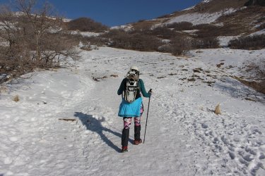
Sheila joined me on this one
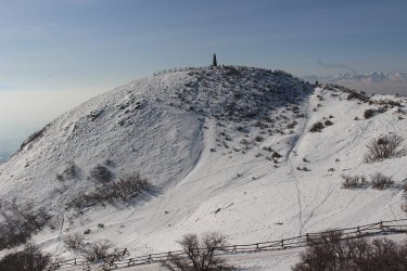
Passing Ensign Peak
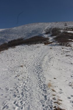
Heading to the top of the ridge.
You'll notice at this point that there is a squiggly little line in my shots. I think it might be one of those Chinese surveillance balloons. Not the round kind, but more like the party balloons that folks with some talent can make animals out of. Why would the Chinese want to follow me? I am pretty sure that @Rockskipper put them up to it.
I must confess at this point, that I didn't have my camera on the maximum resolution setting, and I forgot to auto rotate my images, so I had to go in and rotate all the verticle shots. And it might pay dividends to clean the lens before heading out! Geez! I'm going to have to have @TractorDoc slap me around a bit to get me back on the straight and narrow. We can't have these kind of mental breakdowns along Thorofare Creek, or going over Majo Pass, or heading down Turner Fork!
Okay, back to the report.
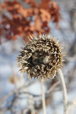
Old sunflower?
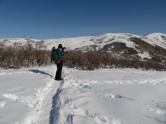
Still trying to get that perfect picture. It would probably help if the settings were correct.
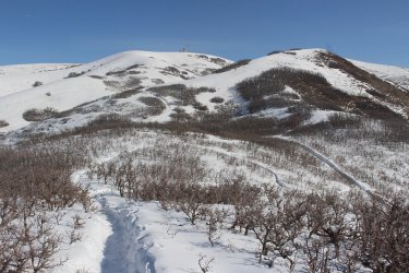
A couple more hills to climb
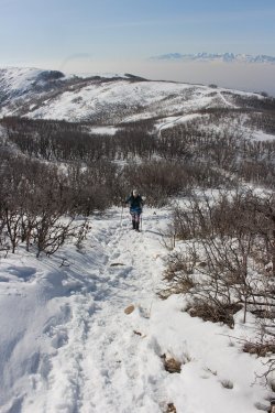
Hill climbing. The Oquirrhs in the distance across the hazy valley
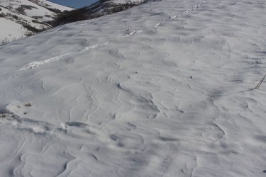
Wind swept ridgeline
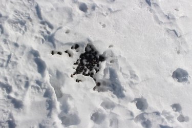
Elk scat. I can't believe all the elk sign in the foothills this winter.
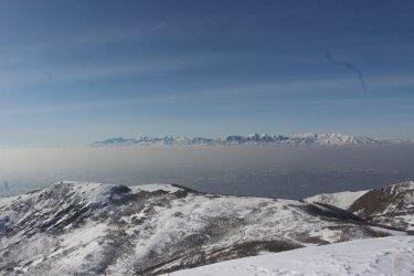
Good shot of the inverted valley with the Oquirrhs in the distance
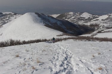
Hill number three.
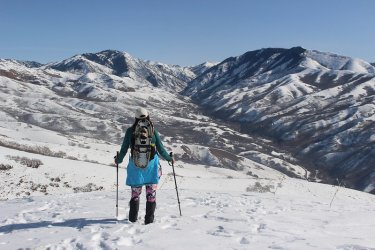
Taking in a gorgeous view of City Creek Canyon
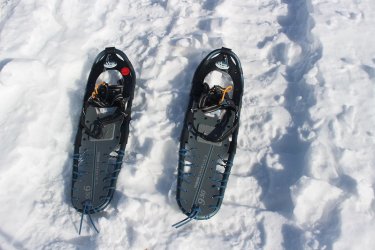
Time for the snowshoes
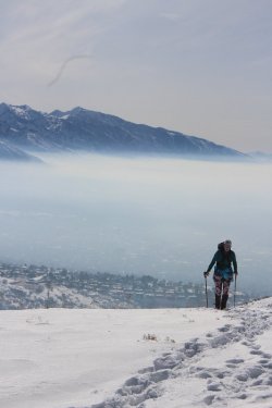
Sheila, inversion, and Lone Peak
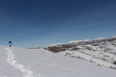
Snowshoeing along the ridge
These next shots are views from where we stopped to eat some lunch
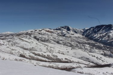
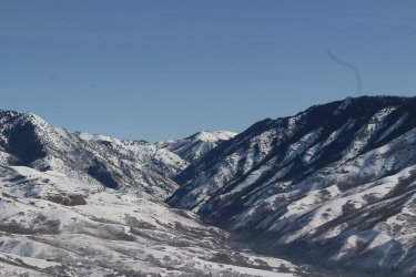
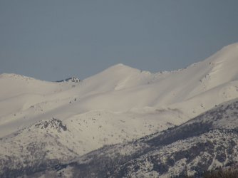
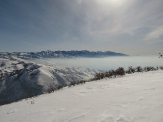
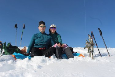
Lunch shot
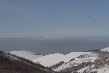
Antelope Island above the inversion
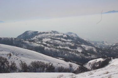
Heading back down
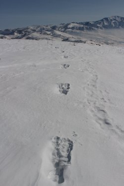
Moose tracks - quite the gate.
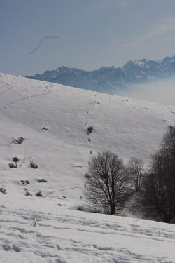
More moose tracks coming off the hillside - maybe the same moose.
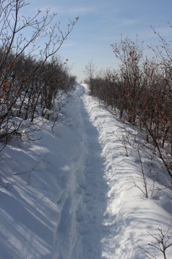
Trail through the scrub oak
The End.

Sheila joined me on this one

Passing Ensign Peak

Heading to the top of the ridge.
You'll notice at this point that there is a squiggly little line in my shots. I think it might be one of those Chinese surveillance balloons. Not the round kind, but more like the party balloons that folks with some talent can make animals out of. Why would the Chinese want to follow me?
I must confess at this point, that I didn't have my camera on the maximum resolution setting, and I forgot to auto rotate my images, so I had to go in and rotate all the verticle shots. And it might pay dividends to clean the lens before heading out! Geez! I'm going to have to have @TractorDoc slap me around a bit to get me back on the straight and narrow. We can't have these kind of mental breakdowns along Thorofare Creek, or going over Majo Pass, or heading down Turner Fork!
Okay, back to the report.

Old sunflower?

Still trying to get that perfect picture. It would probably help if the settings were correct.

A couple more hills to climb

Hill climbing. The Oquirrhs in the distance across the hazy valley

Wind swept ridgeline

Elk scat. I can't believe all the elk sign in the foothills this winter.

Good shot of the inverted valley with the Oquirrhs in the distance

Hill number three.

Taking in a gorgeous view of City Creek Canyon

Time for the snowshoes

Sheila, inversion, and Lone Peak

Snowshoeing along the ridge
These next shots are views from where we stopped to eat some lunch


Lunch shot

Antelope Island above the inversion

Heading back down

Moose tracks - quite the gate.

More moose tracks coming off the hillside - maybe the same moose.

Trail through the scrub oak
The End.

