- Joined
- Dec 23, 2013
- Messages
- 4,124
The day after my Grizzly Lake Trip, I met up with @TractorDoc, @CajunPoncho and Cody to attempt a seventeen mile day hike through the Central Plateau of Yellowstone National Park. Also, @TheMountainRabbit decided that he hadn't had enough of me on the previous trip, so he threw his hat in on the day hike too.
Now this day hike was to begin just south of Hayden Valley, where we would hug the woods along the southern end of the valley for the first few miles. Once we reached Trout Creek, we would follow the creek upstream through its finger meadow. Towards the end of those meadows, we would then cut across a newly burned area to the Alum Creek Drainage, where at that point we would follow Alum Creek to its headwaters. From there, we bushwhacked our way to Beach Lake, where we picked up the old Plateau Trail and followed it most of the way to West Thumb, where we had stashed the Subaru at an unsuspecting turnout.
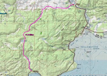
Overview map of our hike
The first four mentioned above got up bright and early, around five 0'clock in the morning at Old Faithful. We set off around 6:00 am to meet TheMountainRabiit at the Cascade Picnic Area, located just south of Hayden Valley. When we arrived at the picnic area, it was a balmy 30 degrees - much warmer than the 17 degrees of the previous years trek through the valley.
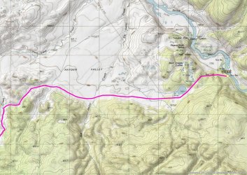
Larger scale map - Part I
We headed out along the telephone lines that led us to the valley. It was foggy at the beginning, and it was fun to watch the fog slowly lift of of the sage and grasslands as we made our way. The first interesting thing that we ran into was a thermal area located in the southeastern portion of the valley.
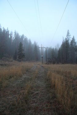
Frosty and slightly foggy setting out along the transmission lines
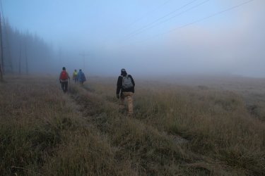
Not much to see until the fog starts burning off
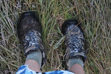
Frost on my shoes
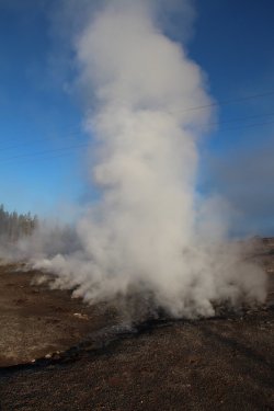
Reaching the thermal area
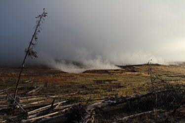
Thermal area
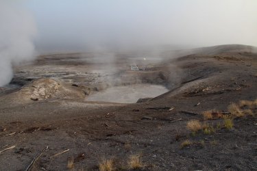
Thermal feature along with some instrumentation
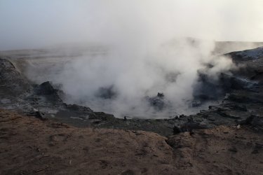
Thermal feature
After exploring the thermal area for a bit, we struck out for Elk Antler Creek. Before reaching the creek though, we began to hear wolves howl jus to the south of us in the trees. We all stopped to take in the serenade as more joined in. This lasted for may two minutes, before all going quiet again. Wow! It's moments like this that tell me that Yellowstone is a special place indeed. For Cody and CajunPoncho, their first off-trail hike in Yellowstone, it must have been particularly special, having the wolves vocalize so close to us for an extended period of time, along with some lingering fog to add to the suspense.
We eventually reached the creek, which was smaller than I had anticipated it being, crossed over it, and then made our way to the hilly country just before Trout Creek.
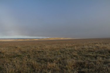
The fog is lifting at last
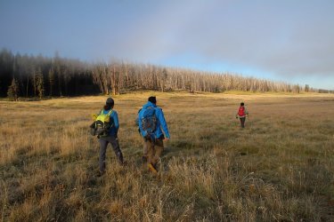
Wolves in the forest
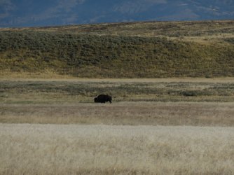
A lone bull in the valley.
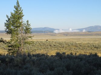
A look to the north across the valley
I learned quickly that these guys are fast hikers
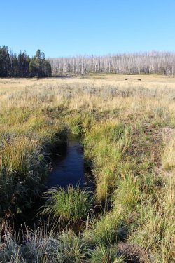
Elk Antler Creek
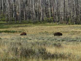
A pair of bulls this time
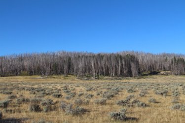
The ghost forest to our south - burned a few years ago.
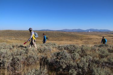
There should be a bison trail somewhere in the vicinity.
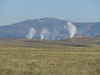
Looking back on Crater Hills and Sulphur Mountain
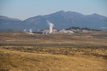
A closer look at Sulphur Mountain, with Mount Washburn in the distance
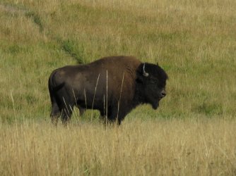
Yet another bull - these were common occurrences until we left Trout Creek
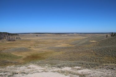
Looking north and out into Hayden Valley as we approach the Trout Creek Drainage
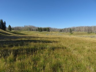
A look up the finger meadows of Trout Creek
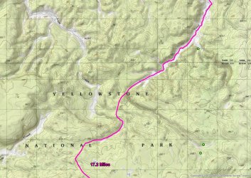
Larger scale map - Part II
One we reached Trout Creek, it was as simple as following the creek upstream. While simple, it was not necessarily easy, as we had to contend with marshy meadows along the creek, sections of very deep grass, along with more bull bison that gave us wary looks of distrust as we passed.
At one point, we took a quick break for a snack and I ended up leaving my camera their. I got about a half mile up the creek on our route before I realized that I'd left it, so I had to go back and retrieve it. Stupid me!
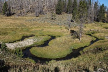
The meandering Trout Creek
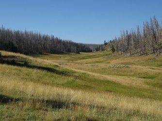
A look upstream. The meadows were beautiful.
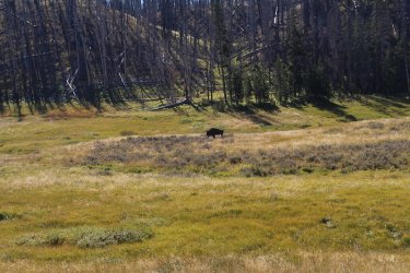
This guy was limping. This is where we stopped to take a quick break.
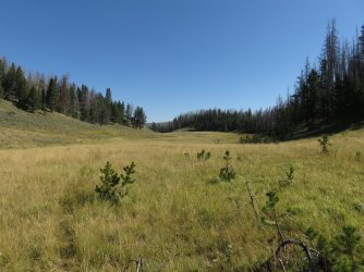
Just about to the point where I'd realized that I'd left my camera behind.
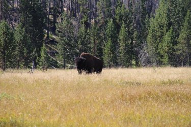
The hurt bison was guarding it for me though. Thanks!
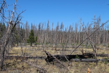
Arriving at the point where we need to break off from Trout Creek and head west towards Alum Creek. This burned area was
unexpected and difficult to get through - at least for me. I believe I face planted twice through this.
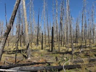
Typical of the scenery between the two creeks
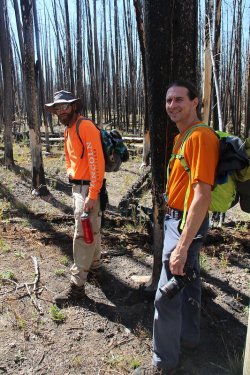
Morale still seems to still be high - I think.
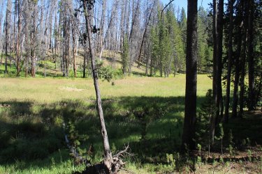
Arriving at Alum Creek. It is small at this point and in the shade. I stopped to fill my water bottle here.
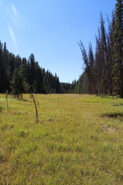
Making our way up the Alum Creek Drainage
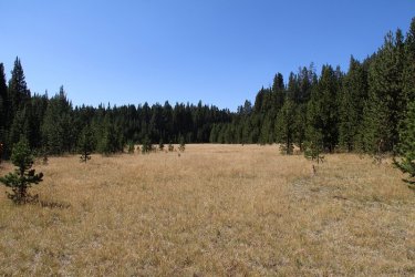
Ahead! Could it be? Yes, the headwaters of Alum Creek. Dry though it may be.
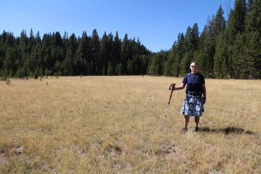
Sorry, but I had to get a shot at the headwaters
At this point, it was time for a major celebration. And nothing says "major celebration" like caviar on crackers with Tony Chocolonely for dessert!
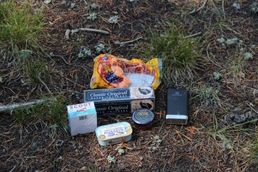
Caviar, crackers, mussels and Circus Peanuts on hand for the celebration
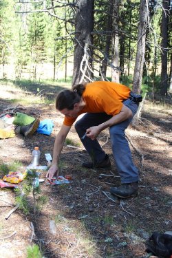
Who wants some caviar? I know that I do!
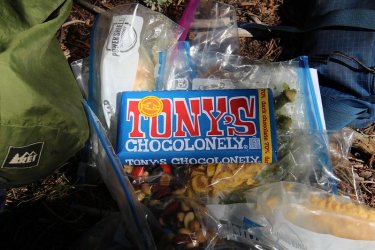
Look at that! Tony's Chocolonely!
It was at this point that I made a crucial mistake: I left my light-weight, titanium, long spoon in a crack of the log that I was sitting on. I had used it to scoop out some tuna to put on a tortilla, and placed it securely in the crack as not to put it on anything that I might be taking with me on my next trip to Wapiti Lake. This forgetfulness forced me to buy a heavy spoon at old faithful that I would then have to carry to Wapiti. This weighed heavy on my mind once I had realized what I had done for the next six days.
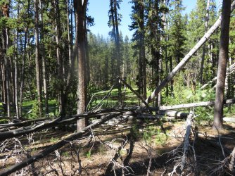
Beginning our bushwhack to Beach Lake
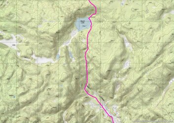
Larger scale map Part III
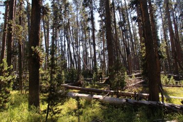
Slow going
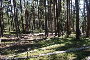
Beginning our descent down to the lake
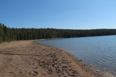
Arriving at Beach Lake on the eastern shore
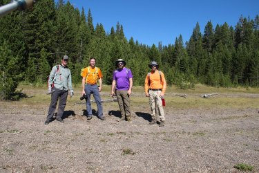
Four happy hikers at Beach Lake. Morale might be teetering.
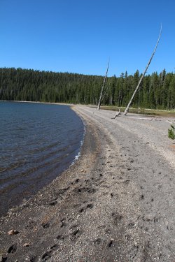
Looking back north along the eastern beach
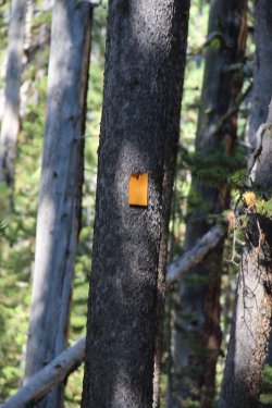
First trail marker near Beach Lake for the old Plateau Trail
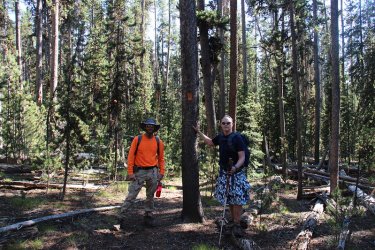
Posing at a trail marker for the old Plateau Trail
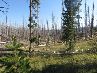
Before reaching the Arnica Creek Meadows, the old trail runs through a wooded area for about two miles. About one third of which
was burned. This made following the old trail difficult, as we looked for sewn logs and downed, burnt trail markers to guide us.
Once we reached the meadows, we were fine until almost the end. The above image is part of the burn area the old trail runs through
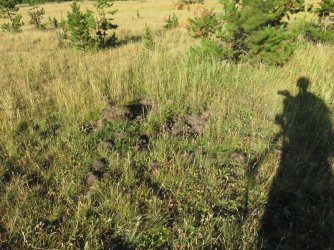
Grizzly dig in the upper meadows of Arnica Creek
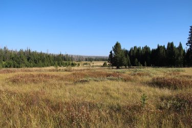
The meadows of Arnica Creek
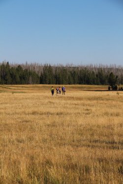
Hard to gauge morale at this distance.
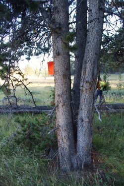
Trail marker near the edge of the meadow for the non-maintained Plateau Trail
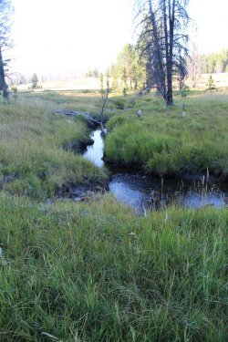
Arnica Creek. What happened to the beaver ponds that used to be present?
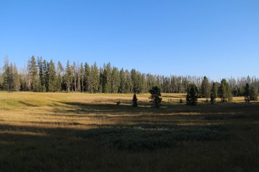
Long shadows are moving across the meadows
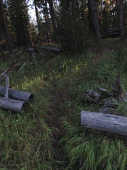
After leaving the meadows, there is still a mile to go through the forest. The image shows some
sewn logs of the Plateau Trail. At some point we got off-trail and had to find our way to another
transmission line corridor in order to get back to the Subaru.
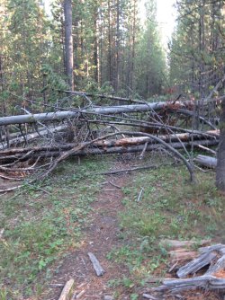
A lot more downfall across the old trail than there was when I first hiked it nearly 25 years ago.
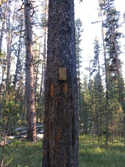
One of the last markers before we went the wrong way
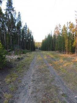
Stumbling out of the woods and onto a transmission line corridor. We followed this corridor back to the service road,
and then south to my vehicle
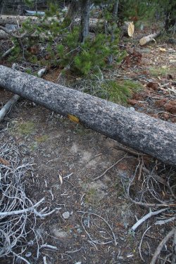
This trail marker used to be the first marker that you'd come to if heading from West
Thumb on your way to Beach Lake. Now that the tree has been cut down, people
will no longer be able to easily find the old trail. Why cut the tree down?
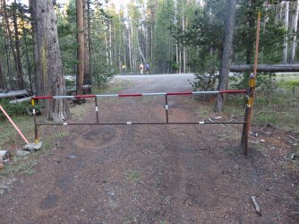
Gate to the service road as we reach the Grand Loop Road at West Thumb.
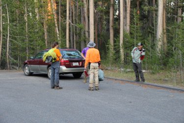
Back at the car.
What a great hike. It was exhausting for me though. Could it be that we might be one of the last to use the old Plateau Trail? I'm guessing that it will be my last time using it, for I am getting long in the tooth as they say.
Hats off to @TheMountainRabbit, Cody and Patrick for making it through. And of course, I always enjoy the company of @TractorDoc, who is crazy enough to let me create our routes for these yearly day hikes.
The End.
Now this day hike was to begin just south of Hayden Valley, where we would hug the woods along the southern end of the valley for the first few miles. Once we reached Trout Creek, we would follow the creek upstream through its finger meadow. Towards the end of those meadows, we would then cut across a newly burned area to the Alum Creek Drainage, where at that point we would follow Alum Creek to its headwaters. From there, we bushwhacked our way to Beach Lake, where we picked up the old Plateau Trail and followed it most of the way to West Thumb, where we had stashed the Subaru at an unsuspecting turnout.

Overview map of our hike
The first four mentioned above got up bright and early, around five 0'clock in the morning at Old Faithful. We set off around 6:00 am to meet TheMountainRabiit at the Cascade Picnic Area, located just south of Hayden Valley. When we arrived at the picnic area, it was a balmy 30 degrees - much warmer than the 17 degrees of the previous years trek through the valley.

Larger scale map - Part I
We headed out along the telephone lines that led us to the valley. It was foggy at the beginning, and it was fun to watch the fog slowly lift of of the sage and grasslands as we made our way. The first interesting thing that we ran into was a thermal area located in the southeastern portion of the valley.

Frosty and slightly foggy setting out along the transmission lines

Not much to see until the fog starts burning off

Frost on my shoes

Reaching the thermal area

Thermal area

Thermal feature along with some instrumentation

Thermal feature
After exploring the thermal area for a bit, we struck out for Elk Antler Creek. Before reaching the creek though, we began to hear wolves howl jus to the south of us in the trees. We all stopped to take in the serenade as more joined in. This lasted for may two minutes, before all going quiet again. Wow! It's moments like this that tell me that Yellowstone is a special place indeed. For Cody and CajunPoncho, their first off-trail hike in Yellowstone, it must have been particularly special, having the wolves vocalize so close to us for an extended period of time, along with some lingering fog to add to the suspense.
We eventually reached the creek, which was smaller than I had anticipated it being, crossed over it, and then made our way to the hilly country just before Trout Creek.

The fog is lifting at last

Wolves in the forest

A lone bull in the valley.

A look to the north across the valley

I learned quickly that these guys are fast hikers

Elk Antler Creek

A pair of bulls this time

The ghost forest to our south - burned a few years ago.

There should be a bison trail somewhere in the vicinity.

Looking back on Crater Hills and Sulphur Mountain

A closer look at Sulphur Mountain, with Mount Washburn in the distance

Yet another bull - these were common occurrences until we left Trout Creek

Looking north and out into Hayden Valley as we approach the Trout Creek Drainage

A look up the finger meadows of Trout Creek

Larger scale map - Part II
One we reached Trout Creek, it was as simple as following the creek upstream. While simple, it was not necessarily easy, as we had to contend with marshy meadows along the creek, sections of very deep grass, along with more bull bison that gave us wary looks of distrust as we passed.
At one point, we took a quick break for a snack and I ended up leaving my camera their. I got about a half mile up the creek on our route before I realized that I'd left it, so I had to go back and retrieve it. Stupid me!

The meandering Trout Creek

A look upstream. The meadows were beautiful.

This guy was limping. This is where we stopped to take a quick break.

Just about to the point where I'd realized that I'd left my camera behind.

The hurt bison was guarding it for me though. Thanks!

Arriving at the point where we need to break off from Trout Creek and head west towards Alum Creek. This burned area was
unexpected and difficult to get through - at least for me.


Typical of the scenery between the two creeks

Morale still seems to still be high - I think.

Arriving at Alum Creek. It is small at this point and in the shade. I stopped to fill my water bottle here.

Making our way up the Alum Creek Drainage

Ahead! Could it be? Yes, the headwaters of Alum Creek. Dry though it may be.

Sorry, but I had to get a shot at the headwaters
At this point, it was time for a major celebration. And nothing says "major celebration" like caviar on crackers with Tony Chocolonely for dessert!

Caviar, crackers, mussels and Circus Peanuts on hand for the celebration

Who wants some caviar? I know that I do!

Look at that! Tony's Chocolonely!
It was at this point that I made a crucial mistake: I left my light-weight, titanium, long spoon in a crack of the log that I was sitting on. I had used it to scoop out some tuna to put on a tortilla, and placed it securely in the crack as not to put it on anything that I might be taking with me on my next trip to Wapiti Lake. This forgetfulness forced me to buy a heavy spoon at old faithful that I would then have to carry to Wapiti. This weighed heavy on my mind once I had realized what I had done for the next six days.

Beginning our bushwhack to Beach Lake

Larger scale map Part III

Slow going

Beginning our descent down to the lake

Arriving at Beach Lake on the eastern shore

Four happy hikers at Beach Lake. Morale might be teetering.

Looking back north along the eastern beach

First trail marker near Beach Lake for the old Plateau Trail

Posing at a trail marker for the old Plateau Trail

Before reaching the Arnica Creek Meadows, the old trail runs through a wooded area for about two miles. About one third of which
was burned. This made following the old trail difficult, as we looked for sewn logs and downed, burnt trail markers to guide us.
Once we reached the meadows, we were fine until almost the end. The above image is part of the burn area the old trail runs through

Grizzly dig in the upper meadows of Arnica Creek

The meadows of Arnica Creek

Hard to gauge morale at this distance.

Trail marker near the edge of the meadow for the non-maintained Plateau Trail

Arnica Creek. What happened to the beaver ponds that used to be present?

Long shadows are moving across the meadows

After leaving the meadows, there is still a mile to go through the forest. The image shows some
sewn logs of the Plateau Trail. At some point we got off-trail and had to find our way to another
transmission line corridor in order to get back to the Subaru.

A lot more downfall across the old trail than there was when I first hiked it nearly 25 years ago.

One of the last markers before we went the wrong way

Stumbling out of the woods and onto a transmission line corridor. We followed this corridor back to the service road,
and then south to my vehicle

This trail marker used to be the first marker that you'd come to if heading from West
Thumb on your way to Beach Lake. Now that the tree has been cut down, people
will no longer be able to easily find the old trail.

Gate to the service road as we reach the Grand Loop Road at West Thumb.

Back at the car.
What a great hike. It was exhausting for me though. Could it be that we might be one of the last to use the old Plateau Trail? I'm guessing that it will be my last time using it, for I am getting long in the tooth as they say.
Hats off to @TheMountainRabbit, Cody and Patrick for making it through. And of course, I always enjoy the company of @TractorDoc, who is crazy enough to let me create our routes for these yearly day hikes.
The End.

