- Joined
- Dec 23, 2013
- Messages
- 4,114
I might have to say that this was the best backpacking trip as far as weather was concerned that I've been on. Temperatures were right around sixty degrees and sunny during the day, with night time lows right around twenty five. My trips to the Teton Wilderness over the Columbus Day Weekend are always weather dependent, so it had been three years since I was last able to get back into the wilderness, since the last two years' forecasts called for snow over that weekend.
Fall colors were near their peak while we were there, with the aspen, cottonwoods, and willows all showing off their brilliant yellows.
I rounded up a couple of poor souls (Brian and Chris) to go with me on this one. While Brian knew what he was getting into, I'm not sure Chris did. Chris seemed to have a good time though, so maybe he can be convinced to go on another Scatman trip in the future.
In typical fashion for this weekend trip, after driving up from Salt Lake, I hike in a few miles (4.5 for this trip), set up a basecamp and do a couple of day hikes from there - very similar to my Grizzly Lake Trip this past September. I had one goal for this trip though, an that was to reach Moss Lake. I've tried to reach the lake in the past, but weather, time, ground conditions, or just my eyes being bigger than my stomach have kept me from getting there.
So day one's day hike took us to Moss like via and old outfitters (maybe Forest Service) trail that included running into an old cabin up on Moss Creek. I'm not sure of the history of the cabin, but I plan on calling the Bridger-Teton National Forest and asking them about it here in the near future. While it wasn't very far to the lake from our campsite, the old trail is no longer maintained which meant downfall to contend with, and just staying on the old trail when it faded in and out. On our way back from the lake, Brain had the sketchy idea of following Moss Creek back to camp instead of taking the old outfitter's trail. This turned into an "Epic" bushwhack that included a rather large rock tumbling down a steep slope and onto my leg while I was trying to get around a choke point. While it took us about 2.5 hours to reach the lake, it was nearly a 4 hour return trip.
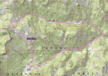
Our second day hike took us to Gravel Lake, which was directly north of our campsite, and was roughly twelve miles roundtrip to the lake and back. It had been twelve years since I was last at Gravel Lake, so I was looking forward to see if anything had changed up the Gravel Creek Drainage. We ended up doing a lollipop loop, by taking the old trail on our way up, and the newer trail on our way back to close the loop.
Here's some shots of our trip.
Day 1 - Pacific Creek Trailhead to Gravel Creek - roughly 4.5 miles
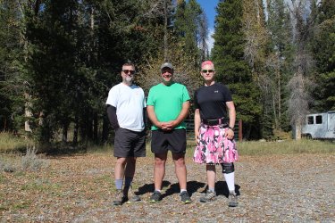
The participants - Brian, Chris and myself. They are smiling way too much for my liking.
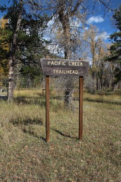
The Pacific Creek Trailhead. I know state the obvious.
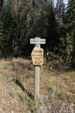
Entering the wilderness area
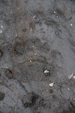
Right off the bat, we ran into grizzly and wolf prints
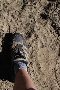
Different bear on this one
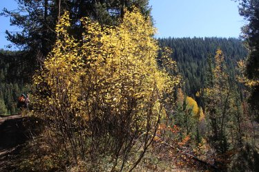
Willows ablaze
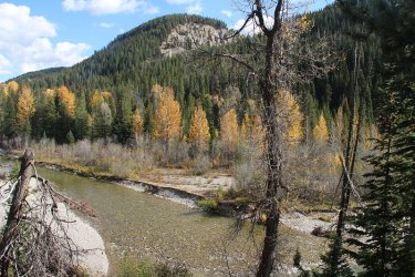
Pacific Creek
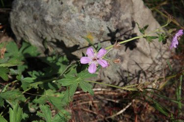
Hard to believe that geraniums are still blooming in October
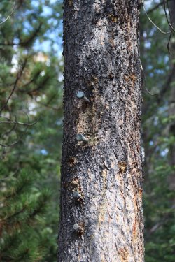
Hey @Jackson, remember the old Whetstone Creek sign that I missed three years ago?
This is what is left of it now.
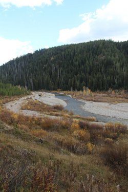
More Pacific Creek
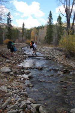
Brian crossing a tributary of Pacific Creek
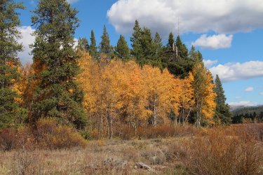
Some popping aspen along the trail
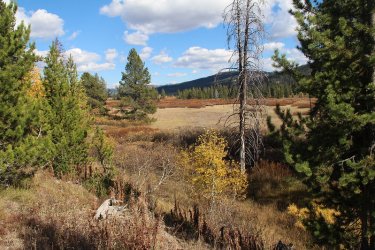
Reaching the Pacific Creek Meadows
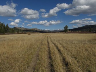
Some meadow hiking to reach our basecamp
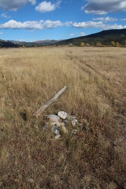
The old Moss Creek Trail sign down on the ground.
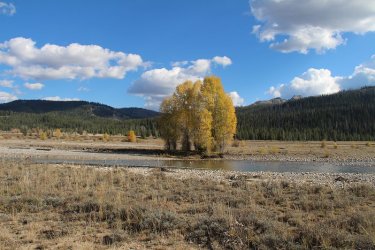
Colors by the creek, with Gravel Mountain just above the tree lined ridge in the distance
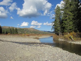
Gravel Creek flowing into Pacific Creek
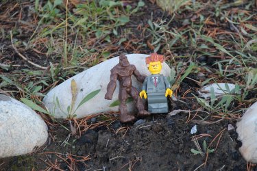
Two other hearty backpackers that I forgot to mention earlier - Sasquatch and Lord Business!
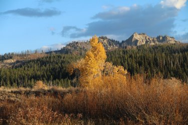
Colors and Gravel Mountain
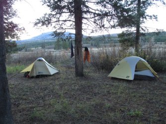
Our campsite
Day 2 - Day hike to Moss Lake - approximately 6.5 miles roundtrip
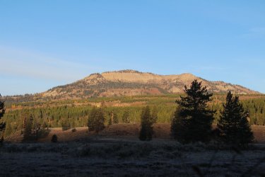
Whetstone Mountain in the early morning light
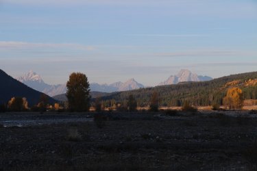
View of the Tetons from Pacific Creek
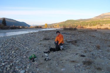
A 26 degree breakfast
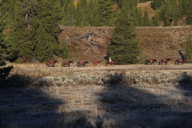
Mule train heading up the Gravel Creek Trail
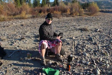
Time to make some oatmeal
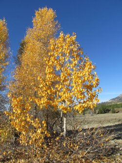
A willow and a cottonwood near where I hung my Ursack
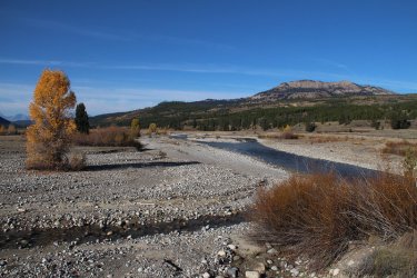
Forded Pacific Creek and Moss Creek on our way to Moss Lake
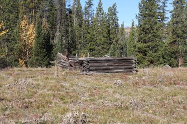
The old cabin on Moss Creek
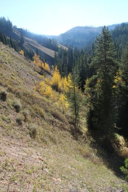
Some steep terrain in the Moss Creek drainage
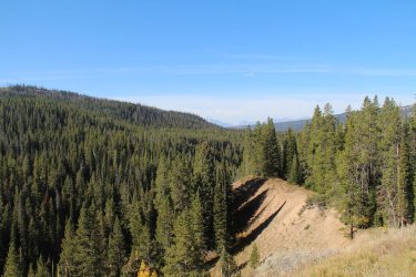
Making our way up high
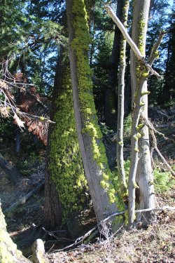
Moss on the south side of the trees
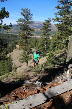
Chris on the old Outfitter's trail, with Whetstone Mountain in the distance
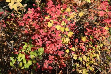
Fall colors
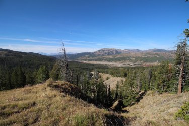
View down of the Pacific Creek Meadows
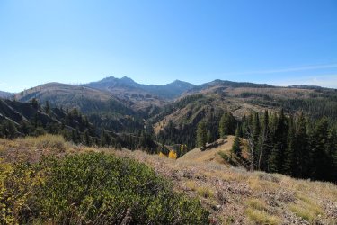
Gravel Mountain to the south
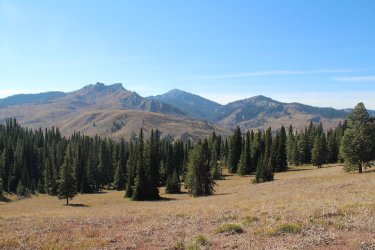
Another view of the east side of Gravel Mountain
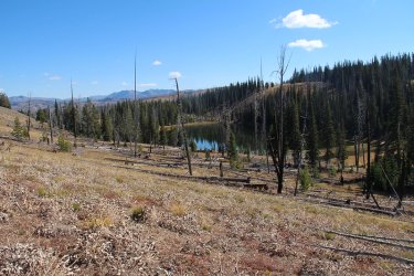
Moss Lake. Finally!
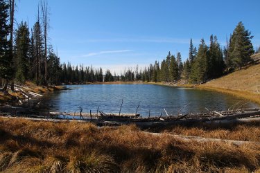
View of Moss Lake from the east shore
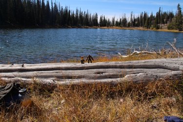
Of course, no trip to Moss Lake would be complete without these two.
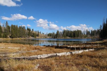
Moss Lake viewed from the west shoreline, after deciding to follow Moss Creek back to camp
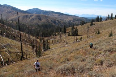
Initially, things weren't too bad.
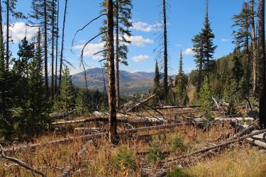
Then the downfall and marsh took over.
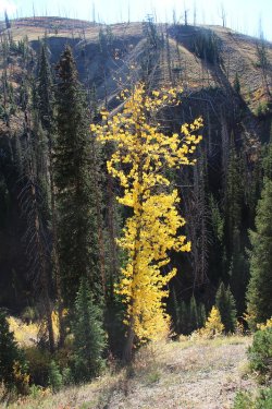
Some beautiful yellows back in there though
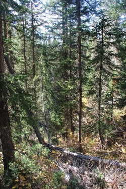
Brian's words, "If a deer can do it then so can we." Nasty, steep going at this point
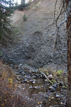
Finally we reached the creek
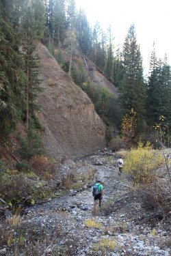
Following the creek out
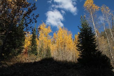
Just beautiful along the drainage
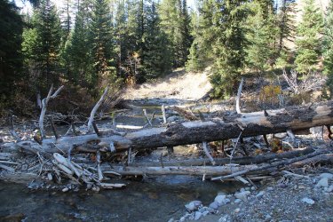
Downfall at the bottom too
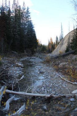
In the shade at this point
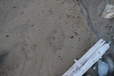
Something else had the same idea.
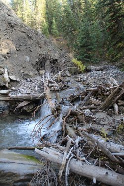
Small falls on Moss Creek
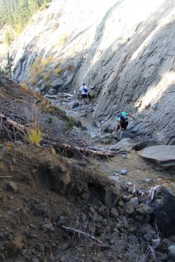
Canyon walls getting steeper
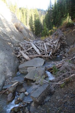
Choke point! This became our word for the trip.
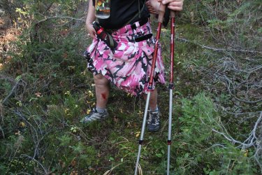
In order to get around the choke point, I had to go up on the slope maybe 15 feet. Unfortunately for me, there happened to be a
seep where I needed to go. I slipped as I made my way along and slid a few feet down. This caused a large rock above me to give
way and roll down onto my leg, and thus the nice gash you see in the photo. It was a good thing that it was muddy, because when
the rock landed on my leg it mostly drove it further into the mud. If it had been hard ground, I might have faired a lot worse.
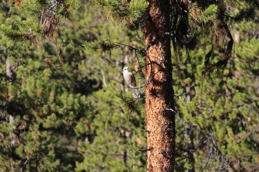
Clarks nutcracker. I think it might be laughing at me.
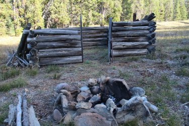
Back at the cabin
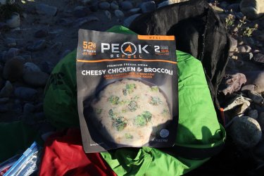
Night two's meal. I found it to be quite good, and will purchase again.
Day 3 - Campsite to Gravel Lake - approximately 12 miles roundtrip
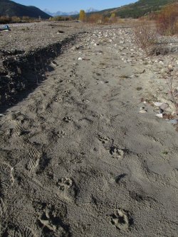
We had a visitor - fresh wolf tracks by our campsite
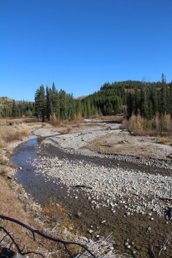
Gravel Creek
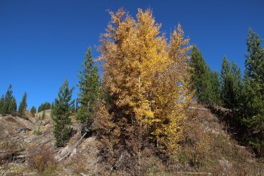
Aspen along Gravel Creek
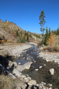
Gravel Creek again. We had to cross the creek five or six times on our way to the Gravel
Lake
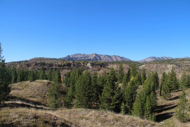
Whetstone Mountain from the Gravel Creek Trail
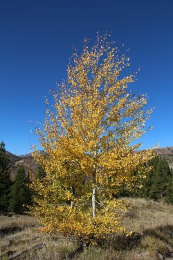
More aspen
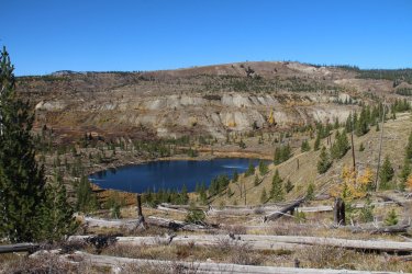
Unnamed pond on our way to the lake
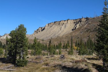
On the old trail. Gravel Lake is up on the other side of the cliffs
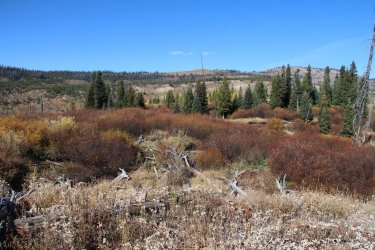
Willows
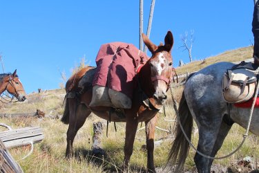
This one is for you @Rockskipper. Notice the maroon covering matches my kilt?
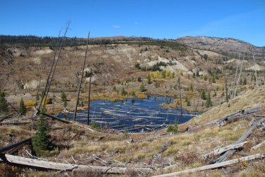
Another unnamed pond with some downfall issues.
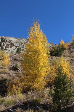
Pretty!
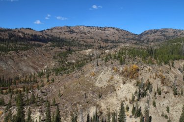
The upper Gravel Creek drainage
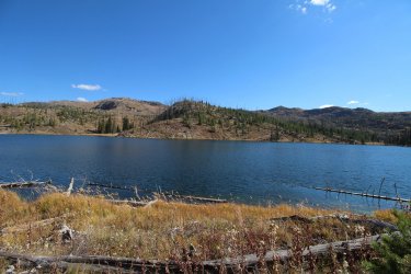
Time for lunch at Gravel Lake
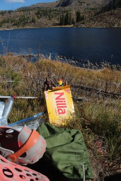
Somebody is eating all the Vanilla Wafers!
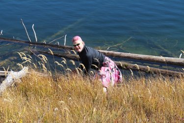
Help! I've fallen in the lake and can't get out. I went to refill one of my water bottles, and stepped out on a log. I didn't
realize that the log was just floating on the surface. It then began to float away from shore, forcing me to do the splits, which
eventually ended up me in the lake. It took a while for my kilt to dry out.
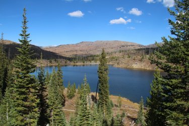
Another shot of Gravel Lake
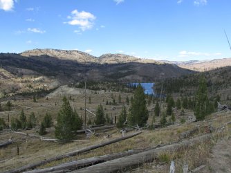
Making our way back on the newer trail now, with Gravel Lake to the north
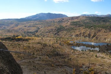
Fall colors in the Gravel Creek drainage
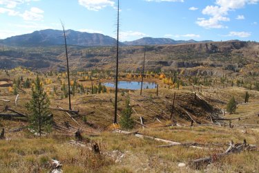
More yellows
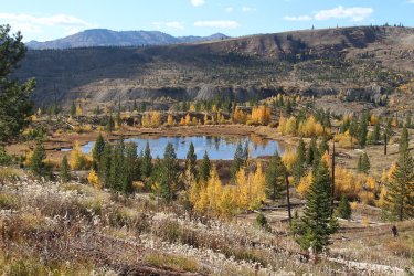
Zoomed in on the pond.
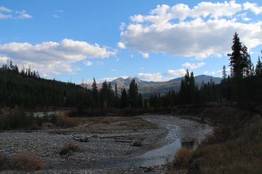
The shade has caught up to us again on Gravel Creek, with Gravel Mountain in the distance
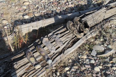
Back at camp - trying to dry out my inserts, socks and shoes after falling in the lake.
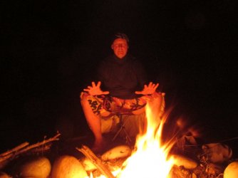
Kind of creepy.
Day 4 - Campsite back to the Pacific Creek Trailhead - 4.5 miles
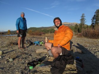
That bottled cappuccino ought to get you back to the trailhead.
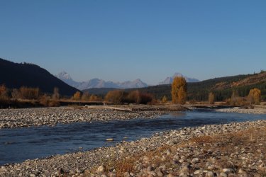
Just head toward the Tetons at this point
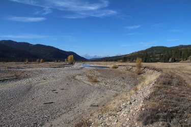
Beautiful morning! It was 29 degrees when we left camp around 10:00 am.
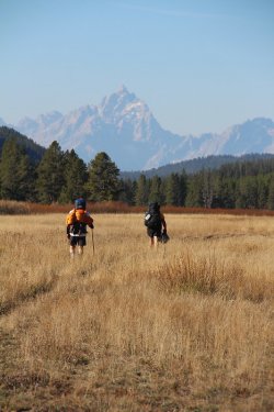
Chris and Brian out in front. Of course!
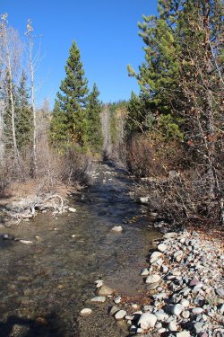
Whetstone Creek
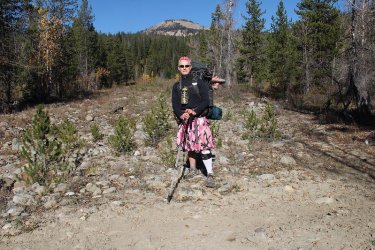
Me and Whetstone Mountain
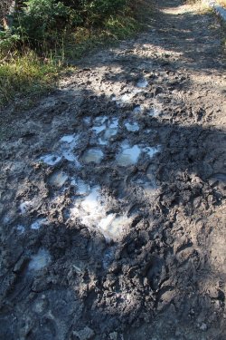
The trail was still icy in places
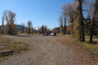
Back at the Trailhead
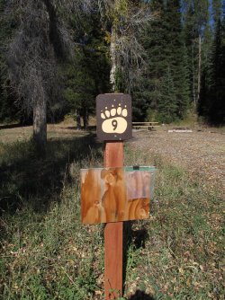
I liked the campsite signs at the trailhead

Moral might be slipping! A Cold Smoke to celebrate.

And of course nachos at the Signal Mountain Lodge to end a great trip.

And on our way out in the parking lot. This guy/gal must have been bushwhacking down Moss Creek!
Okay, while I had a wonderful time on this trip, I feel that I should mention something that has bothered me on my backpacking trips this summer, and that is the state of the signage, whether in the wilderness or in Yellowstone. The old signs that have fallen into disrepair, or worse yet stolen, need to be replaced.
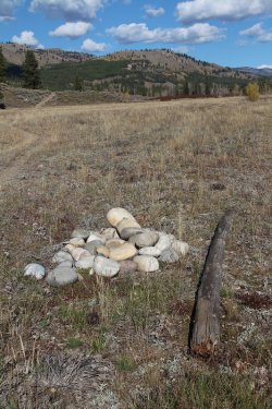
Old Gravel Creek Trail Sign
Leaving the old posts on the ground just isn't good enough in my opinion. Maybe it takes a couple of years to get them replaced, but replace them. And quite frankly, I'd prefer the wooden type ones to the new metal ones. I'll get off my soapbox now.
The End
Fall colors were near their peak while we were there, with the aspen, cottonwoods, and willows all showing off their brilliant yellows.
I rounded up a couple of poor souls (Brian and Chris) to go with me on this one. While Brian knew what he was getting into, I'm not sure Chris did. Chris seemed to have a good time though, so maybe he can be convinced to go on another Scatman trip in the future.
In typical fashion for this weekend trip, after driving up from Salt Lake, I hike in a few miles (4.5 for this trip), set up a basecamp and do a couple of day hikes from there - very similar to my Grizzly Lake Trip this past September. I had one goal for this trip though, an that was to reach Moss Lake. I've tried to reach the lake in the past, but weather, time, ground conditions, or just my eyes being bigger than my stomach have kept me from getting there.
So day one's day hike took us to Moss like via and old outfitters (maybe Forest Service) trail that included running into an old cabin up on Moss Creek. I'm not sure of the history of the cabin, but I plan on calling the Bridger-Teton National Forest and asking them about it here in the near future. While it wasn't very far to the lake from our campsite, the old trail is no longer maintained which meant downfall to contend with, and just staying on the old trail when it faded in and out. On our way back from the lake, Brain had the sketchy idea of following Moss Creek back to camp instead of taking the old outfitter's trail. This turned into an "Epic" bushwhack that included a rather large rock tumbling down a steep slope and onto my leg while I was trying to get around a choke point. While it took us about 2.5 hours to reach the lake, it was nearly a 4 hour return trip.
Our second day hike took us to Gravel Lake, which was directly north of our campsite, and was roughly twelve miles roundtrip to the lake and back. It had been twelve years since I was last at Gravel Lake, so I was looking forward to see if anything had changed up the Gravel Creek Drainage. We ended up doing a lollipop loop, by taking the old trail on our way up, and the newer trail on our way back to close the loop.
Here's some shots of our trip.
Day 1 - Pacific Creek Trailhead to Gravel Creek - roughly 4.5 miles

The participants - Brian, Chris and myself. They are smiling way too much for my liking.

The Pacific Creek Trailhead. I know state the obvious.

Entering the wilderness area

Right off the bat, we ran into grizzly and wolf prints

Different bear on this one

Willows ablaze

Pacific Creek

Hard to believe that geraniums are still blooming in October

Hey @Jackson, remember the old Whetstone Creek sign that I missed three years ago?
This is what is left of it now.

More Pacific Creek

Brian crossing a tributary of Pacific Creek

Some popping aspen along the trail

Reaching the Pacific Creek Meadows

Some meadow hiking to reach our basecamp

The old Moss Creek Trail sign down on the ground.

Colors by the creek, with Gravel Mountain just above the tree lined ridge in the distance

Gravel Creek flowing into Pacific Creek

Two other hearty backpackers that I forgot to mention earlier - Sasquatch and Lord Business!

Colors and Gravel Mountain

Our campsite
Day 2 - Day hike to Moss Lake - approximately 6.5 miles roundtrip

Whetstone Mountain in the early morning light

View of the Tetons from Pacific Creek

A 26 degree breakfast

Mule train heading up the Gravel Creek Trail

Time to make some oatmeal

A willow and a cottonwood near where I hung my Ursack

Forded Pacific Creek and Moss Creek on our way to Moss Lake

The old cabin on Moss Creek

Some steep terrain in the Moss Creek drainage

Making our way up high

Moss on the south side of the trees

Chris on the old Outfitter's trail, with Whetstone Mountain in the distance

Fall colors

View down of the Pacific Creek Meadows

Gravel Mountain to the south

Another view of the east side of Gravel Mountain

Moss Lake. Finally!

View of Moss Lake from the east shore

Of course, no trip to Moss Lake would be complete without these two.

Moss Lake viewed from the west shoreline, after deciding to follow Moss Creek back to camp

Initially, things weren't too bad.

Then the downfall and marsh took over.

Some beautiful yellows back in there though

Brian's words, "If a deer can do it then so can we."

Finally we reached the creek

Following the creek out

Just beautiful along the drainage

Downfall at the bottom too

In the shade at this point

Something else had the same idea.

Small falls on Moss Creek

Canyon walls getting steeper

Choke point! This became our word for the trip.

In order to get around the choke point, I had to go up on the slope maybe 15 feet. Unfortunately for me, there happened to be a
seep where I needed to go. I slipped as I made my way along and slid a few feet down. This caused a large rock above me to give
way and roll down onto my leg, and thus the nice gash you see in the photo. It was a good thing that it was muddy, because when
the rock landed on my leg it mostly drove it further into the mud. If it had been hard ground, I might have faired a lot worse.

Clarks nutcracker. I think it might be laughing at me.

Back at the cabin

Night two's meal. I found it to be quite good, and will purchase again.
Day 3 - Campsite to Gravel Lake - approximately 12 miles roundtrip

We had a visitor - fresh wolf tracks by our campsite

Gravel Creek

Aspen along Gravel Creek

Gravel Creek again. We had to cross the creek five or six times on our way to the Gravel
Lake

Whetstone Mountain from the Gravel Creek Trail

More aspen

Unnamed pond on our way to the lake

On the old trail. Gravel Lake is up on the other side of the cliffs

Willows

This one is for you @Rockskipper. Notice the maroon covering matches my kilt?

Another unnamed pond with some downfall issues.

Pretty!

The upper Gravel Creek drainage

Time for lunch at Gravel Lake

Somebody is eating all the Vanilla Wafers!

Help! I've fallen in the lake and can't get out.
realize that the log was just floating on the surface. It then began to float away from shore, forcing me to do the splits, which
eventually ended up me in the lake. It took a while for my kilt to dry out.

Another shot of Gravel Lake

Making our way back on the newer trail now, with Gravel Lake to the north

Fall colors in the Gravel Creek drainage

More yellows

Zoomed in on the pond.

The shade has caught up to us again on Gravel Creek, with Gravel Mountain in the distance

Back at camp - trying to dry out my inserts, socks and shoes after falling in the lake.

Kind of creepy.
Day 4 - Campsite back to the Pacific Creek Trailhead - 4.5 miles

That bottled cappuccino ought to get you back to the trailhead.

Just head toward the Tetons at this point

Beautiful morning! It was 29 degrees when we left camp around 10:00 am.

Chris and Brian out in front. Of course!

Whetstone Creek

Me and Whetstone Mountain

The trail was still icy in places

Back at the Trailhead

I liked the campsite signs at the trailhead

Moral might be slipping!

And of course nachos at the Signal Mountain Lodge to end a great trip.

And on our way out in the parking lot. This guy/gal must have been bushwhacking down Moss Creek!
Okay, while I had a wonderful time on this trip, I feel that I should mention something that has bothered me on my backpacking trips this summer, and that is the state of the signage, whether in the wilderness or in Yellowstone. The old signs that have fallen into disrepair, or worse yet stolen, need to be replaced.

Old Gravel Creek Trail Sign
Leaving the old posts on the ground just isn't good enough in my opinion. Maybe it takes a couple of years to get them replaced, but replace them. And quite frankly, I'd prefer the wooden type ones to the new metal ones. I'll get off my soapbox now.
The End
Last edited:

