- Joined
- Dec 23, 2013
- Messages
- 4,124
Headed out from home this morning with the intent of hiking a trail in City Creek Canyon that I have never been on before. I've been going up City Creek going on 39 years now, and I always wondered where the trail went. Well, today I was going to find out. This loop was approximately seven miles in length, and took us just over three and a half hours to complete. Maybe @regehr has done this trail before?
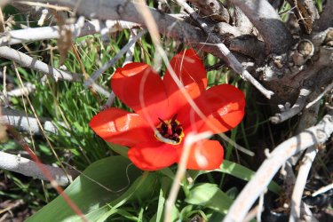
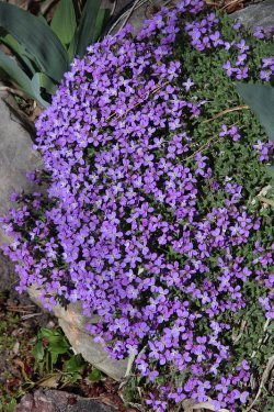
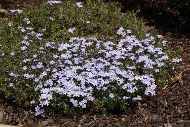
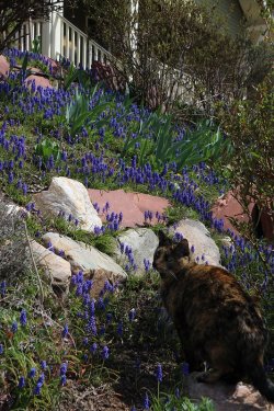
Flowers are blooming in the yards as we made our way to City Creek Canyon
City wildlife
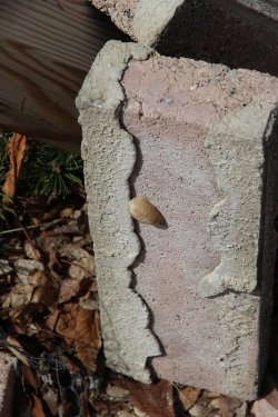
Preying Mantis egg sack
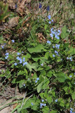
Stickseed
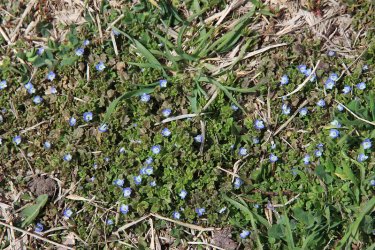
Speedwell
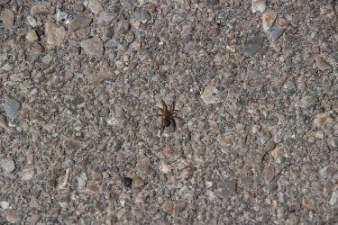
Spider on the road near the guard station at the mouth of City Creek Canyon
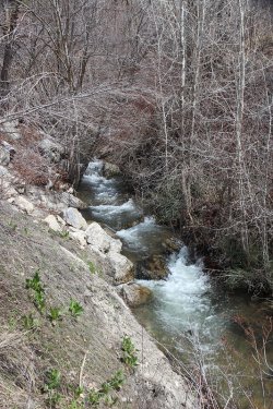
City Creek
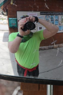
Selfie at the guard station
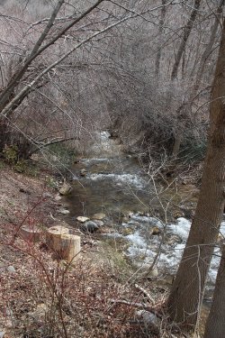
City Creek
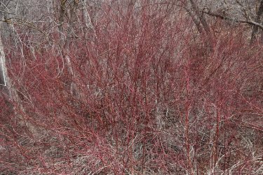
Red osier dogwood
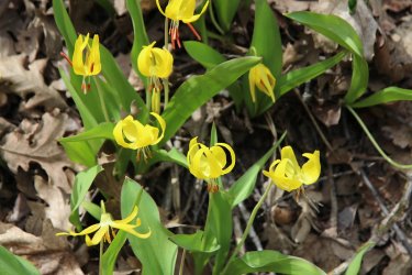
Glacier lilies have started to bloom
More City Creek shots
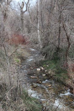
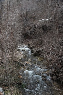
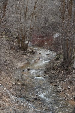
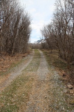
We left the main road up the canyon, and onto this service road
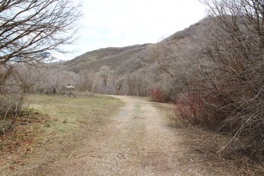
After a short distance it opened up. We'd be taking a right turn ahead to pick up the trail that leads out of the canyon
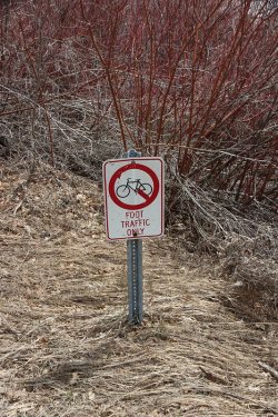
No bikes on this one
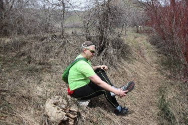
Taking the shoes off to ford City Creek
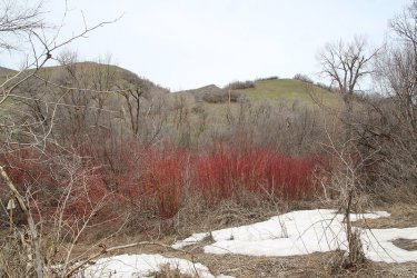
The view after fording the creek, where I put my shoes and socks back on
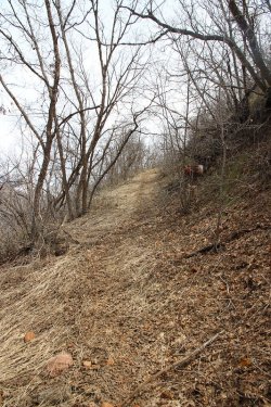
A steep trail out of the canyon
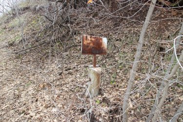
At one point there used to be a cable gate across the old trail/road
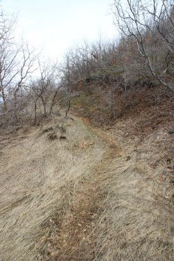
Still making our way up to the top of the ridge
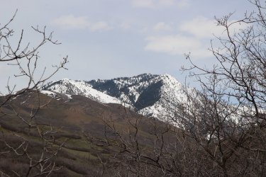
Burro Peak
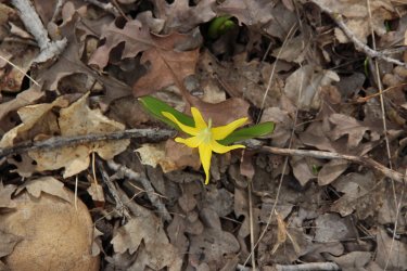
Another glacier lily
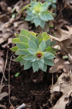
Donkey tail spurge
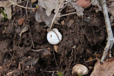
Snail shell
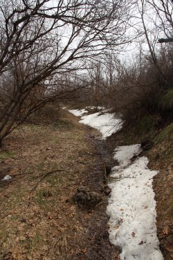
A bit muddy along this section
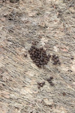
Elk scat
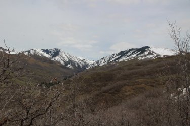
Nice views up City Creek Canyon
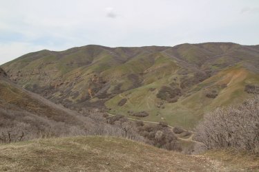
And down the canyon
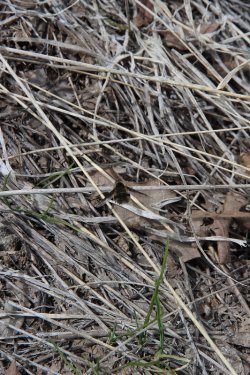
A bee fly
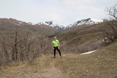
About 60 degrees today. Just after this shot, we heard some wild turkeys off in the scrub oak.
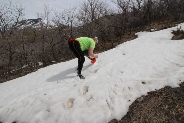
Had to refill the canteen on the way up the ridge
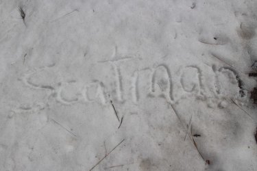
Now who put that there?
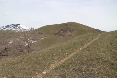
Getting close to the top
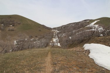
One more hill to climb to the saddle ahead
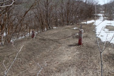
The gate near the upper end
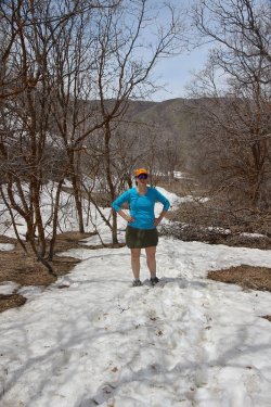
I think Sheila has had enough of this, or maybe me.
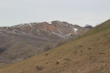
The Dude Benchmark across the canyon
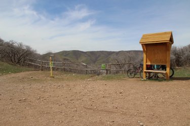
The trail pops out and onto the Bonneville Shoreline Trail. Interesting, an information sign with no information. Hmm........
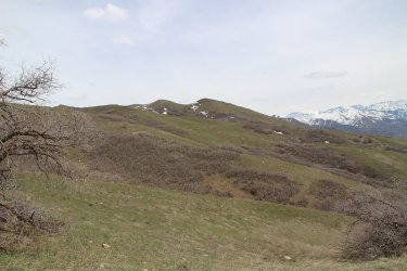
The trail intersects with the Shoreline Trail west of the Avenues Twin Peaks
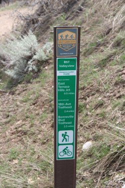
We're heading towards the 18th Ave Trailhead
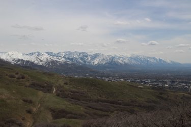
View of the Wasatch Front from the Shoreline Trail
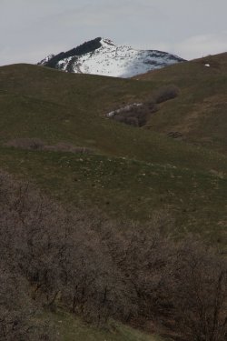
A look up the holler to the Black Mountain Ridge
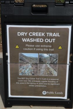
Yikes!

And don't forget to Do Good! This Jeep was parked at the trailhead, and just after
passing this Jeep, Sheila and I saw a bobcat run across the road in front of us. Pretty
cool!
The End.
Flowers are blooming in the yards as we made our way to City Creek Canyon


City wildlife

Preying Mantis egg sack

Stickseed

Speedwell

Spider on the road near the guard station at the mouth of City Creek Canyon

City Creek

Selfie at the guard station

City Creek

Red osier dogwood

Glacier lilies have started to bloom
More City Creek shots


We left the main road up the canyon, and onto this service road

After a short distance it opened up. We'd be taking a right turn ahead to pick up the trail that leads out of the canyon

No bikes on this one

Taking the shoes off to ford City Creek

The view after fording the creek, where I put my shoes and socks back on

A steep trail out of the canyon

At one point there used to be a cable gate across the old trail/road

Still making our way up to the top of the ridge

Burro Peak

Another glacier lily

Donkey tail spurge

Snail shell

A bit muddy along this section

Elk scat

Nice views up City Creek Canyon

And down the canyon

A bee fly

About 60 degrees today. Just after this shot, we heard some wild turkeys off in the scrub oak.

Had to refill the canteen on the way up the ridge

Now who put that there?

Getting close to the top

One more hill to climb to the saddle ahead

The gate near the upper end

I think Sheila has had enough of this, or maybe me.

The Dude Benchmark across the canyon

The trail pops out and onto the Bonneville Shoreline Trail. Interesting, an information sign with no information. Hmm........

The trail intersects with the Shoreline Trail west of the Avenues Twin Peaks

We're heading towards the 18th Ave Trailhead

View of the Wasatch Front from the Shoreline Trail

A look up the holler to the Black Mountain Ridge

Yikes!

And don't forget to Do Good! This Jeep was parked at the trailhead, and just after
passing this Jeep, Sheila and I saw a bobcat run across the road in front of us. Pretty
cool!
The End.
