- Joined
- Dec 23, 2013
- Messages
- 4,116
About two weeks before my trip began, I kept a watchful eye on the weather forecast for Mammoth Hot Springs. As the days drew nearer and nearer to my departure date, the forecast became more and more ominous. When I finally started to pack my gear, it definitely looked like a rainy trip was in store.
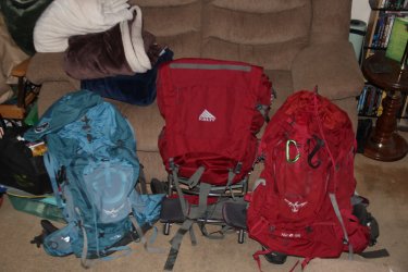
Getting ready to load our packs
Day 1 - Drive to Yellowstone
Cameras used on this trip:
- Canon Rebel T7i
- Canon PowerShot SX730 HS
- Canon PowerShot D20 (Waterproof)
- Canon PowerShot SD780 Is
Camera taken but not used: (Ask Bob)
- Olympus Tough TG-6 (Waterproof)
On June 2nd, we loaded the Subaru and headed north to Yellowstone. We had reservations at Madison Campground for the night, and we planned on stopping in Island Park to say "Hi" to Bob before heading on to West Yellowstone to pick up our official permit for the trip.
Now as you probably know, I usually do a short family trip to the Park to help me warm up to more serious trips later in the summer. This time I opened up the family trip to anyone on BCP who might want to join us for a short stay in the backcountry. @Bob, @ImNotDedYet, and @Dreamer all replied to my invitation, and joined us for the three day trip. @Pringles tried to work around her schedule, but it became impossible for her to find time to join us.
Now where was I? Oh yes, forecasts and such. We stopped by Bob's house and chatted for about thirty minutes, and then we were off to get our permit. We arrived at the Visitors' Center in West Yellowstone and were able to get right into the Backcountry Office, where the gentleman looked us over and decided that we were worthy of a Yellowstone backcountry experience. I added the three to our permit, and then we were on our way to the Park.
Up to this point, we had experienced heavy rain just north of Malad, Idaho, and then a few light sprinkles before Idaho Falls. Other than those two incidences, the weather seemd pretty reasonable to me.
We arrived at Madison Campground, and while I was checking in, it began to rain. We drove to our campsite and waited about an hour and a half in the car, hoping that the rain would stop, but it only seemed to get worse. At 4:30 pm, we said to hell with it and set up our tent in the pouring rain, which I'm sure was a sight to those camped around us.
We then waited calmly in the tent for another hour, without any let up from mother nature. I said, "Let's head to Old Faithful and get something to eat because I don't want to fix dinner in the pouring rain. So off to Old Faithful we went, and enjoyed a meal at the Old Faithful Lodge cafeteria. By the way, as soon as we got about five miles up the Firehole River towards Old Faithful, the rain stopped. On our return, once we dropped into the Madison River Valley, we were right back in the rain. It ended up raining through the night, and I thought that my worst fears were coming true.
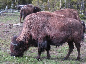
Bison on the drive to Old Faithful
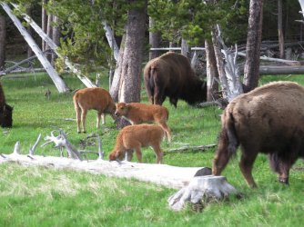
Red dogs too
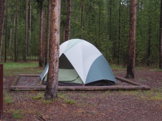
Our tent at Madison Campground
Day 2 - Drive to Blacktail Creek Trailhead, Hike into Campsite 1A2 on Rescue Creek, Day hike to the summit of Turkey Pen Peak
We woke up to more rain on Saturday the 3rd, but it was more of a constant drizzle than a heavy rain. Of course, this meant that we had to pack the tent away wet, and I was afraid that it might mildew while sitting in the car for a few days before I could get back home to dry it out. Fortunately for us, that didn't happen.
So we ate our oatmeal in the rain, and then packed up and headed north towards the trailhead.
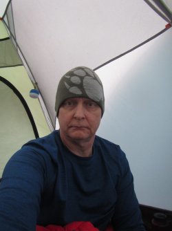
Rise and shine sleepyhead!
Now, we had agreed to meet Bob, ImNotDeadYet, and Dreamer at the trailhead sometime between 10:00 and 11:00 am, and since we left a little early from the campground for that timeframe, we stopped along the way to do the touristy thing as to not be too early to arrive at the trailhead.
Our first stop was Gibbon Falls, and of course it was still raining.
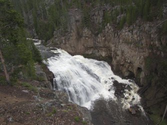
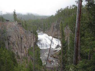
Now there is a story about Gibbon Falls from a previous trip that I'm sure I've told here before. I lost a can of bear spray scrambling down the east side of the falls, after exploring the old stagecoach road and Howard Eaton Trail that does a U turn above the falls. I did I thorough visual search this time to see if I could locate my sixteen year old can of bear spray, but to no avail.
The next stop for us was to visit @Pringles at the service station at Mammoth. Just before arriving at Mammoth, the rain/drizzle stopped. So we pulled into the gas station, topped off the tank, and then went inside to say hello. Of course, I had to be a smart aleck and ask if she sold Lays potato chips. I already knew what her answer would be. I introduced Sheila and Katie, and after chatting for a few minutes we said our goodbyes and were on our way again.
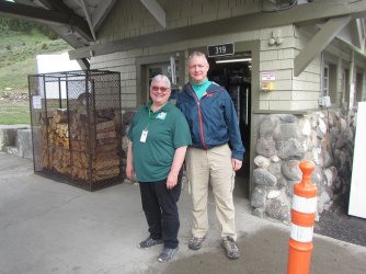
No, that is not a smile you see on my face.
From Mammoth to the trailhead, they are doing some repairs to the bridge over the Gardiner River, so we had to wait a couple of minutes before it was the east bounds' traffic turn to cross the bridge. About ten minutes later, we arrived at the trailhead where Dreamer was already waiting for us. Not soon after Bob drove in. ImNotDeadYet had to stop on his way to the trailhead to pick up his permit for Slough Creek, which he, Dreamer and Bob would backpack right after our trip was done. So we all started to get ready to hit the trail until ImNotDeadYet showed up.
Once we had everybody, and introductions were made, we were off to Rescue Creek.
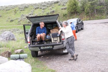
Bob and Dreamer discussing past and future trips to the Wind Rivers at the trailhead
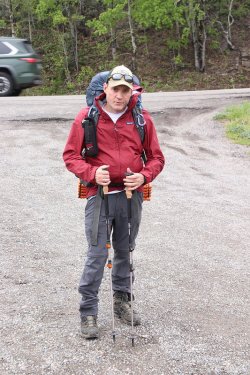
ImNotDeadYet excited for his first time camping in the Yellowstone backcountry
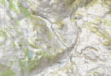
Map overview of the backpack into 1A2 - it's about 2.7 miles to camp from the trailhead.
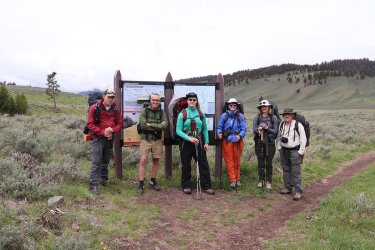
Picture at the backcountry information sign. We called ourselves the @Rockskipper Gang. The meanest, orneriest, most trifling
bunch west of the Mississippi! Or at least west of Blacktail Deer Creek.
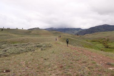
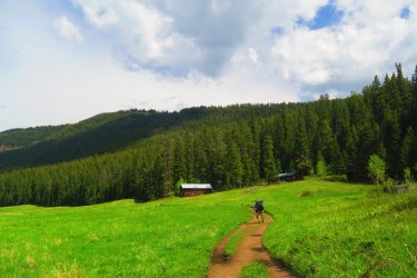
And we are off! Notice who is bring up the rear? Me of course.
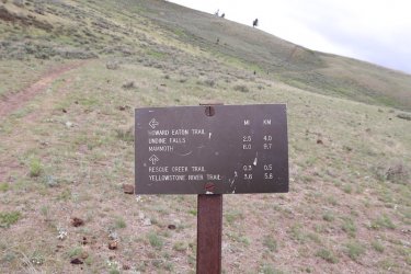
I cannot resist taking a picture of a trail sign, with the hill climb in front of us. Of course, it is possible that the others are already up
and over the hill at this point.
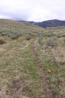
I would be remiss if I didn't point out the old Howard Eaton Trail that runs to Tower
from here. I can still picture the old horse and mule trains making their way along
this old trail.
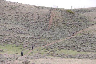
Halfway up the hill there are a couple of fenced off areas that are used for research, where no grazing is allowed.
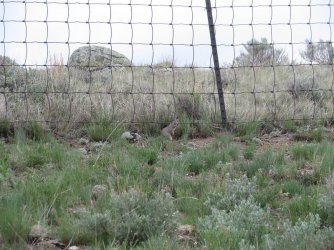
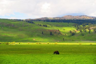
First wildlife of the trip
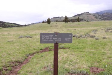
Ooh, another sign. We will be heading left.
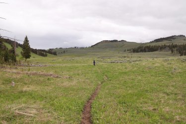
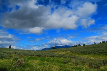
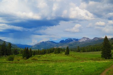
Pretty wide open country
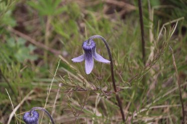
Hairy Clematis
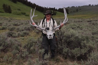
Bob has found the motherlode! I think he slipped this into his fanny pack and snuck it out after dark.
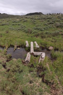
The @Pringles conundrum. Unstable log at stream crossing.
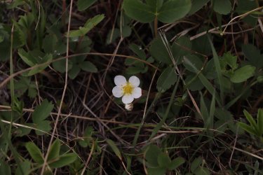
Strawberry flower
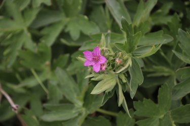
Geranium
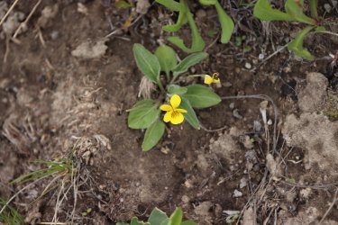
Canary violet
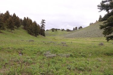
Our campsite is located just up the draw and around the corner.
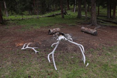
Arriving at camp.
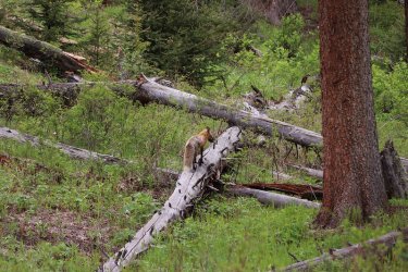
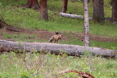
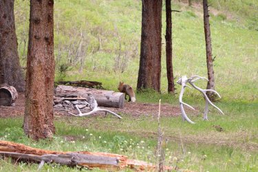
A visitor right off the bat. The fox had caught a vole, and was taking it back to its den for the kits.
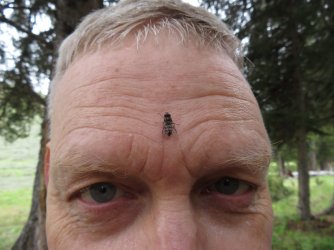
Hmm ......................... I guess you now know what Scatman attracts.
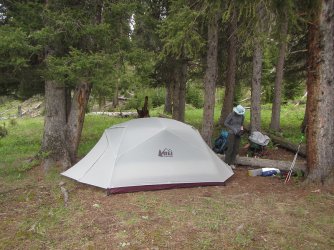
The Rescue Creek Hilton is open for business
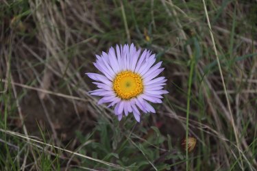
Parry's townsend daisy
After setting up our tents, it was time for those who wanted to go, to hike to the summit of Turkey Pen Peak.
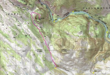
Overview map of day hike to Turkey Pen Peak, about 7 miles roundtrip
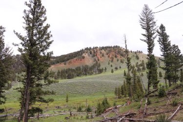
Some nice colors to the hill to the north of us on our way to Turkey Pen
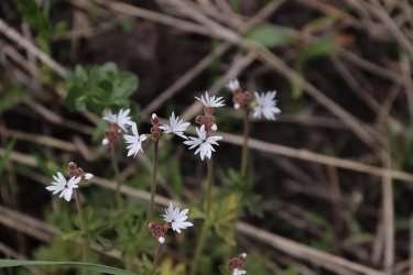
Slender woodland star
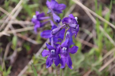
Larkspur
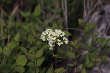
Western labrador tea
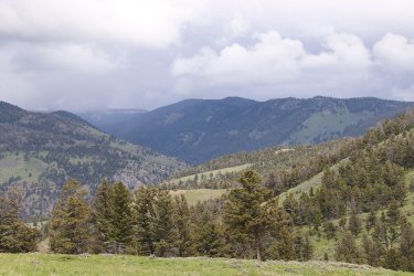
View to the north. The Yellowstone River is down below
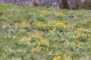
Arrowleaf balsamroot was prevalent
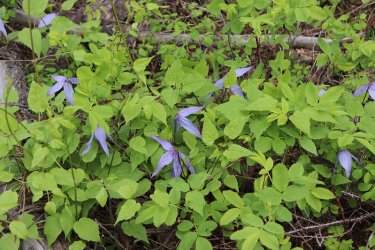
Western blue clematis
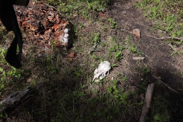
Deer skull?
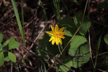
Heart leafed arnica
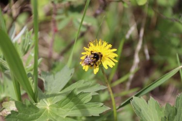
A bumblebee enjoying a wildflower
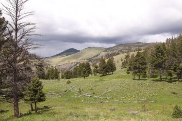
View to the north from the trail
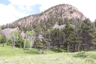
First good look at Turkey Pen Peak. We will curve around to the north side for an easier approach, with Dreamer leading the way.
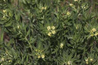
Stoneseed
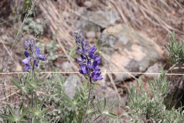
Lupine
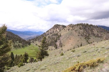
A view to the northwest at Rattlesnake Ridge, Turkey Pen Peak is also part of the ridge
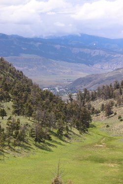
With the town of Gardiner, Montana below
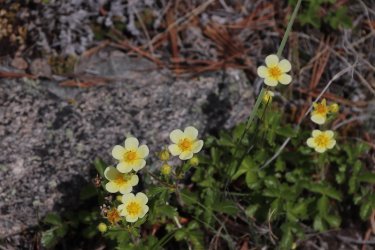
Biennial cinquefoil
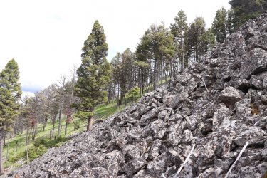
Some steep talus to negotiate on our way to the summit
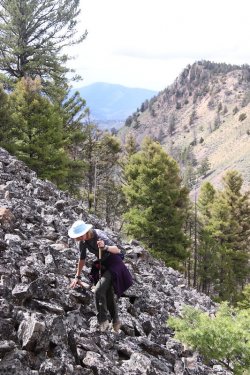
Working her way up
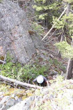
Some scrambling required towards the top
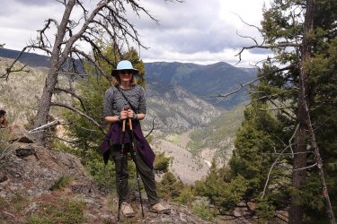
Katie, on the summit, with the Yellowstone River below
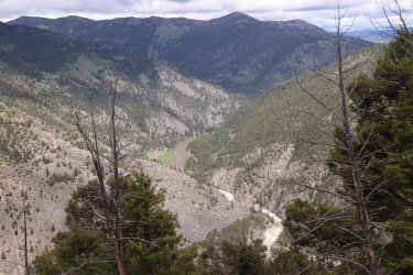
Another shot looking down on the Yellowstone River
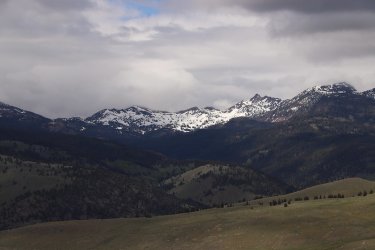
View off to the north towards Monitor Peak. Still a bit of snow up top.
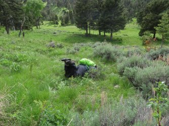
Scatman down! On our descent from Turkey Pen, I stepped in a hole, and faceplanted into a shrub. I don't remember if Dreamer
told us before or after this that he had found a tick crawling on him. Ticks would soon become part of the trip.
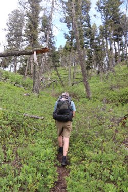
@Dreamer, making his way up the long draw.
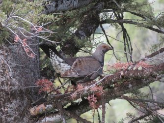
A grouse that scared us to death
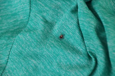
The dreaded tick. This trip was full of them. The final count that I know of is:
Katie - 12
Scatman - 8
Dreamer at least three
Sheila - 2
Bob - 1
ImNotDeadYet - unknown at this time.
I might add that in over thirty years of backpacking Yellowstone, I had never seen a tick before.
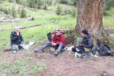
Back at camp, and time for dinner
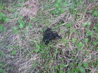
Lots of bear scat around camp. ImNotDeadyet had a nose for it.
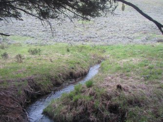
1A2's water source
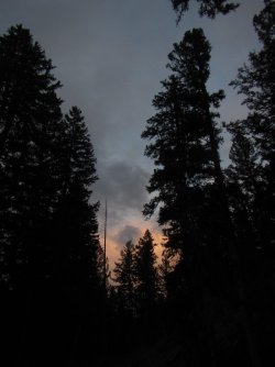
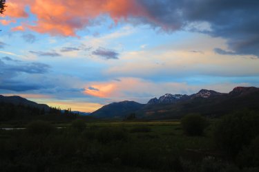
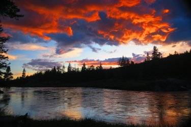
A little color in the sky at sunset.
The end of a good day, with just a light, late afternoon sprinkle since we left the trailhead.
Day 3 - Day hike to the summit of Mount Everts
Woke up to a sunny morning, ate some breakfast and got ready for our day hike to the summit of Mount Everts. It would rain off and on on us throughout the day.
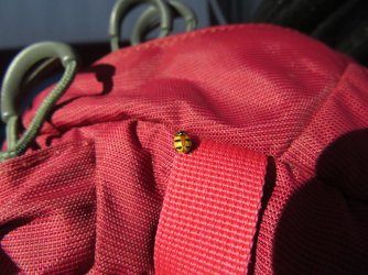
Early morning visitor - three banded ladybeetle
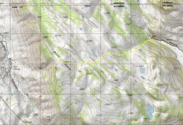
Overview map of day hike to the summit of Mount Everts - about 4.5 miles roundtrip, all off-trail
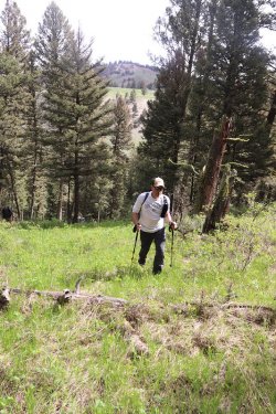
ImNotDeadYet exiting the steep forested section at the beginning of our day hike
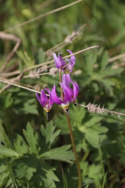
Shooting stars
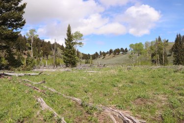
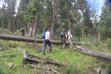
Hilly country on the way up. We are about to enter a small downfall section of our route
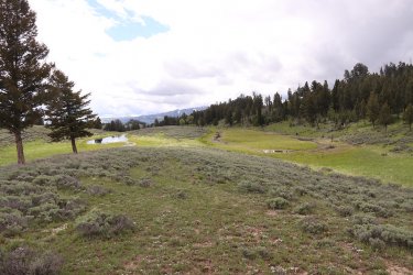
Lots of small marshy ponds too.
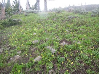
Raining now as we pass through a patch of glacier lilies
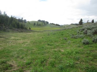
Coming down a draw and approaching a marshy area
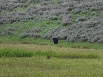
And what do we have here? A black bear on the north side of the marsh.
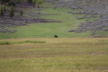
Giving the @Rockskipper Gang a good looking over, now on the opposite side (west) of the marsh from us
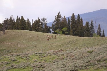
And while we were watching the bear, the elk were watching us.
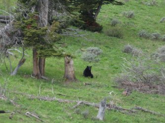
Still circling the marsh, but needed to sit down to take it all in.
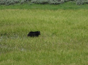
It then proceeded to go straight through the marsh, back to its original location when we first spotted it
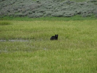
Still keeping an eye on us as it emerges from the water
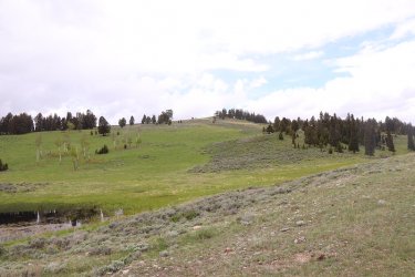
The summit ahead
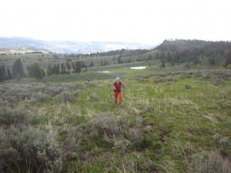
Katie and Sheila approaching the summit
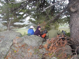
Close quarters under a tree to get out of the rain
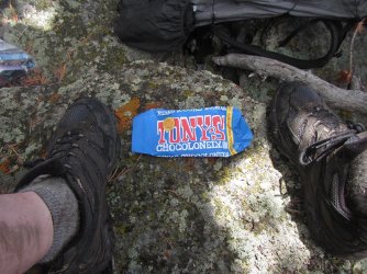
A Tony's Chocolonely will return moral to a high state!
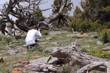
The true photographer of the trip
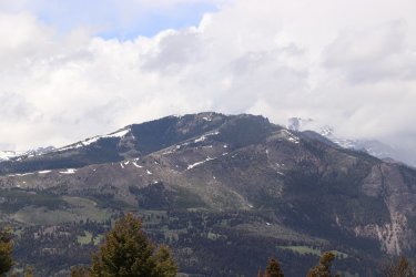
Sepulcher Mountain, with the summit of Electric Peak behind in the thin clouds
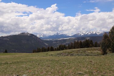
Looking towards (R-L) Quadrant Mountain, Antler Peak, Dome Mountain, and Bunsen Peak
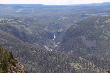
Looking down on Osprey Falls to the southeast
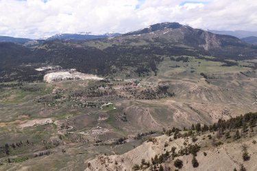
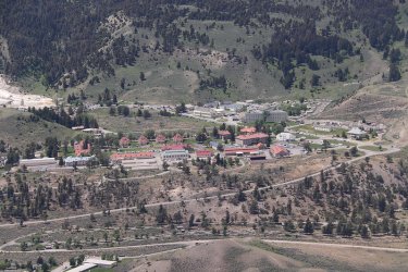
Mammoth
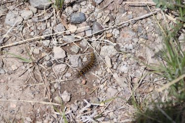
Caterpillar up top
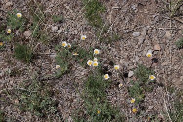
Cutleaf daisies on the summit
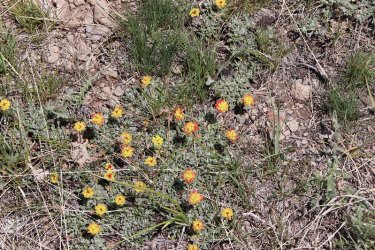
Cushion wild buckwheat
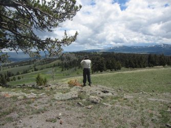
Bob, taking some shots to the north, from the summit
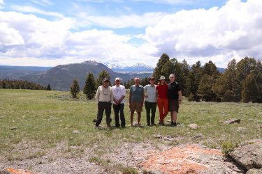
The @Rockskipper Gang on the summit. We are actually being photobombed in this shot. Can you tell by what?
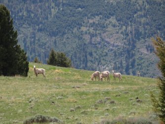
Bighorn sheep, that's what.
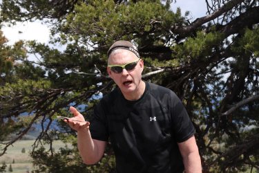
ImNotDeadYet gifted me another heavy spoon, so I felt obligated to take it to the summit. @TractorDoc, notice the burden that
it has put on me?
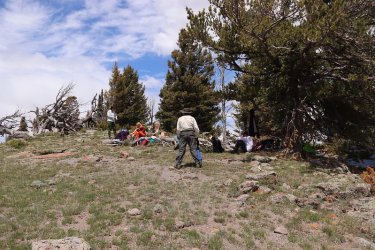
Bob is going over Plan B at the summit. What is Plan B you ask? We'll let's start with Plan A. You see @Rockskipper was supposed
to meet us at the summit with a pack of mules, so that we could ride down the cliffs, probably on one of Bob's infamous horse
trails, and into the community of Mammoth, causing widespread panic to the visitors and townsfolk. Our insider, @Pringles, would
tell everyone that Lays were only available at Canyon Village. This would clear the town of anyone who dare resist our demands.
Amidst the confusion, we would present our demands for the superintendent. One, no more recreation.gov, back to the old
reservation system. Two, restore the Howard Eaton Trail to its Historic Trail status. I'm guessing Skipper must have been shopping
for a camper to not have shown up on such an important mission. Plan B was to return to camp and take a nap. After some
deliberation, we decided to take Bob up on his secondary plan.
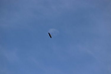
A bald eagle spotted on our way down
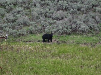
Our old friend is still at the marsh.
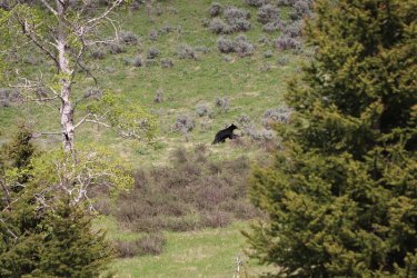
This time it ran up the draw that we had come down earlier
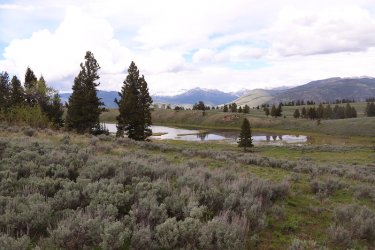
Starting to rain a little bit again - one of the ponds on the ridge.
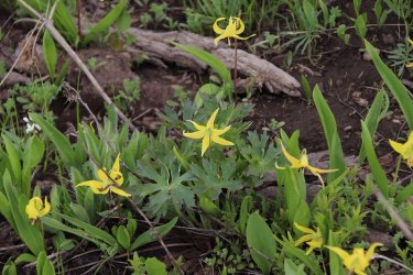
More glacier lilies
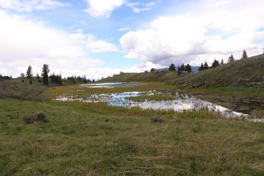
Another shot of the elongated pond.
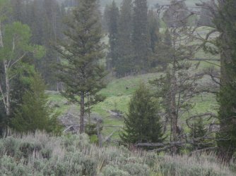
Raining pretty god at this point. Can you make out the two black bears ahead? One is a cinnamon phased black bear.
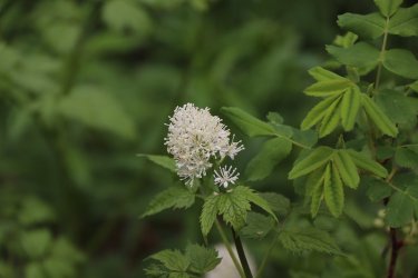
Red baneberry - don't eat the berries!
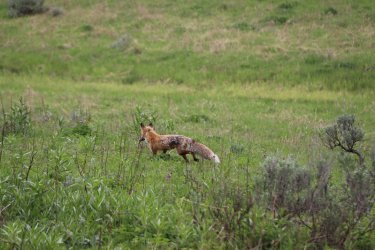
On our return to camp, our friend the fox was back, with another vole in mouth.
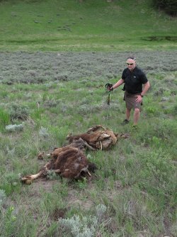
Now the day before, when we were hiking up Turkey Pen Peak, ImNotDeadYet noticed that there
was a bison carcass not far from our campsite, so after our hike to the summit of Mount Everts,
Katie and I made our way over to it to check it out.
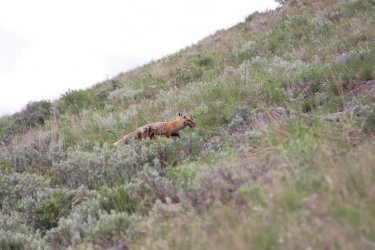
While at the carcass, our friend the fox came to visit
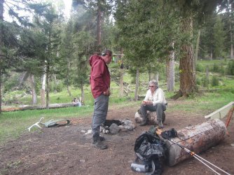
Just about dinner time
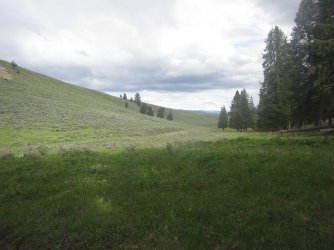
I took this shot just before I went to my tent. I had just finished my dinner, and it had begun to rain again. I was a little cold from
the rain on our hike, being in a kilt and all for the duration. After getting inside my tent, Bob, Dreamer and ImNotdeadYet saw a
grizzly bear down by the pine trees at the bottom of the shot. It took off into the trees on the right when it got wind of them. I
wish that I had stayed out just a little longer so that I could have seen it too.
Day Four - Back to the trailhead and drive to Jackson
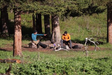
Soaking up some sunshine for breakfast
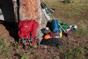
Is all that going to fit in my pack?
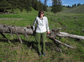
Sheila, ready to hit the trail
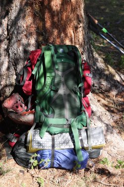
Yep, she fit. I call this my Tom Joad backpack.
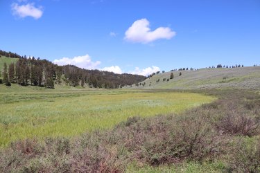
Bye, bye 1A2
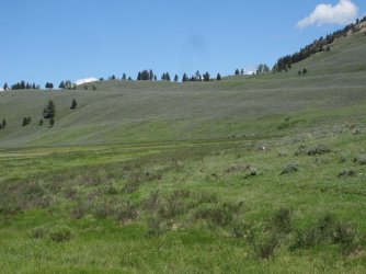
Some horse riders avoided us as we returned to the trailhead. Smart move, you don't want to mess with the @Rockskipper Gang!
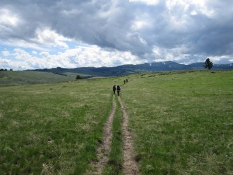
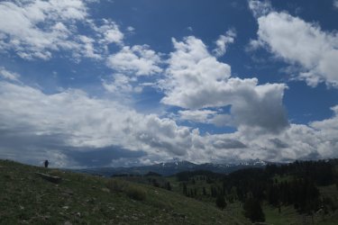
More clouds moving in
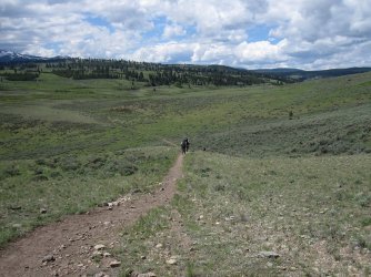
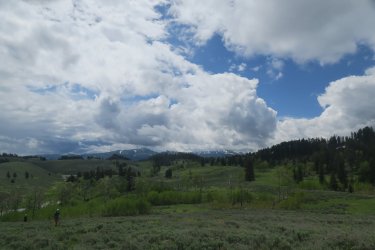
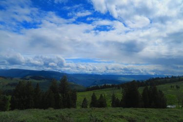
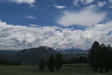
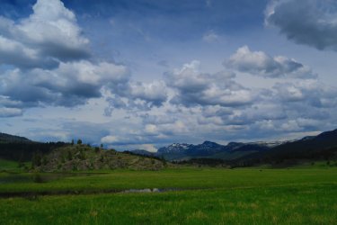
Beautiful country
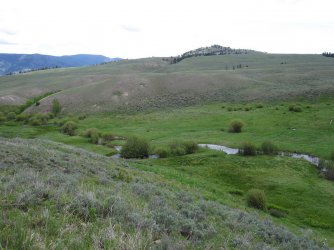
Blacktail Deer Creek
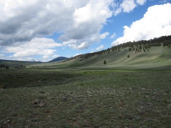
A look to the west towards the Blacktail Ponds
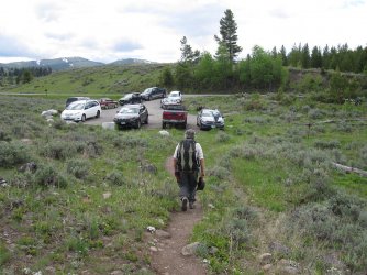
Bob approaches the trailhead.
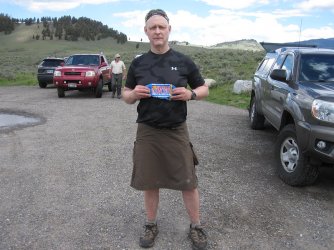
Time to divvy up the rest of the Tonys Chocolonely for a successful trip.
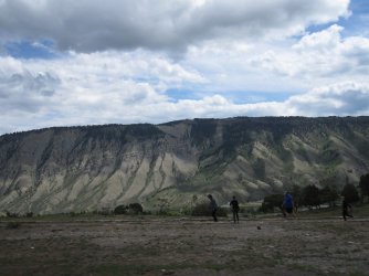
On our way to Jackson now. Looking back up the cliffs from Mammoth towards Mount Everts and where I took the pictures from
the day before.
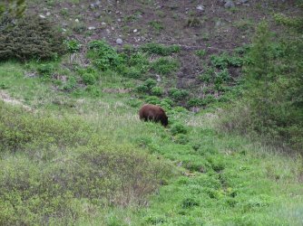
A black bear between Mammoth and Norris
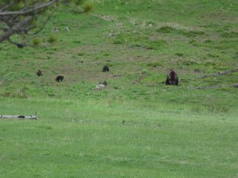
And a grizzly sow with three cubs
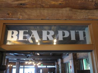
A quick stop at the Bear Pit at Old Faithful
Now it is time for a little Scatman gripe session, so put your earplugs in if you don't want to hear it. Let me start off by saying that I like tradition. When I've finished with a backpacking trip in the Park, and within reach of Old Faithful, I like to stop in at the Bear Pit for and appetizer and a brew. My brew of choice is Cold Smoke, a Scotch Ale, brewed by Kettlehouse Brewing out of Missoula, Montana. I can't get Cold Smoke in Salt Lake, so I really appreciate getting it on draught at the Bear Pit. The Pit has been closed the last few years due to Covid, so I was stoked to see that it was open again. As soon as I sat down though, I noticed that they had a new menu. And when I opened the menu, to my horror, there was no Cold Smoke! Instead of Cold Smoke, they had something called Copper Johns Scotch Ale instead. So I ordered a pint of Copper Johns only to have the waitress tell me that they were out. What in the bloody hell is going on?
  I had to fall back to my second choice, a Moose Drool. I then asked if we could still order food from the restaurant next door to the Pit. She proceeded to tell me that the restaurant was only buffet style now, and I couldn't order appetizers anymore, but they did have chips and salsa available. Okay, lets have some chips and salsa. As she goes to get the drinks and food, she returns and says that they do have Copper Johns, which was nice. I'll admit that the Copper Johns was rather good, not Cold Smoke, but a reasonable substitute. When the chips and salsa arrived, the chips were all broken into tiny pieces. It was like a herd of stampeding bison had crushed them. Now if I'm going to order an eleven dollar order of chips and salsa, I want whole chips so that I can actually scoop up some salsa. And speaking of the salsa, it tasted more like some fancy ketchup than salsa. Yikes! All I wanted was to sit back and relax, contemplating the trip that had just been completed, chewing the fat with friends (not this time) and family, thinking that this is what life is all about. So members, I am asking you all to write your congressman or congresswoman and ask that they get Cold Smoke, and appetizers back at the Pit for me. I'll get off my Hyde Park soap box now, but Scatman does need his traditions.
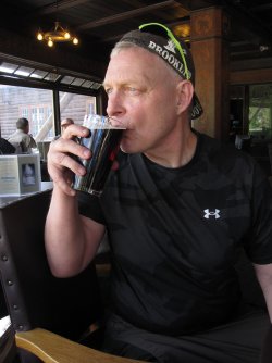
Enjoying a Copper John Scotch Ale
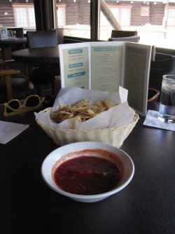
Crushed chips and salsa(?)
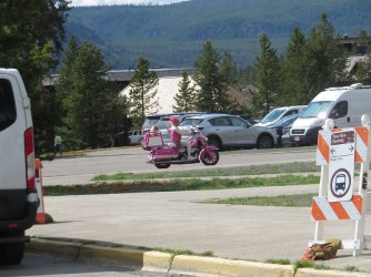
Now this cheered Scat right up as we headed to our car. She is living life right my friends.
We were then on the road to Jackson, and an Oreo dark malt from Moos was in my future. But first, when reaching Jackson, we stopped off for dinner at Sidewinders American Grill.
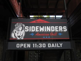
How can you go wrong with an English Bulldog smoking a stogie?
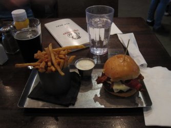
A ranch burger and fries
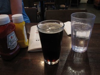
And they had Cold Smoke!
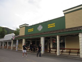
Moos on the other hand was closed for what the sign said was computer maintenance. One needs a computer to scoop
ice cream?
Day 5 - Home to Salt Lake
We woke up early, headed to the Virginian for breakfast, where I ordered a nice spinach and jalapeno with pepper jack cheese omelet. I donated the heavy spoon to the restaurant, as it had grown in sized and could no longer fit into my pack. And we were seated by the Table of Knowledge, which is always a good thing. The table is made up of old locals who know their beans so to speak.
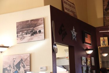
The gifted heavy spoon
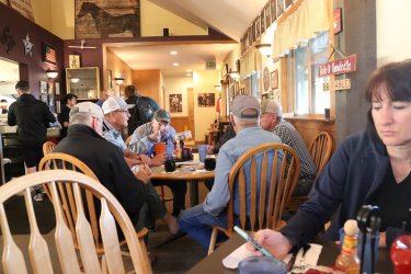
The Table of Knowledge
We were then off for Star Valley, and the Shumway Farms. We stopped at the Farm and got some ice cream. I ordered the Oreo Latte - two scoops. It was delicious! If you ever find yourself passing through Star Valley, check out Shumways. Though they open at 8:00 am, they usually don't start scooping until 11:00 am. They made an exception for our 9:30 am arrival.
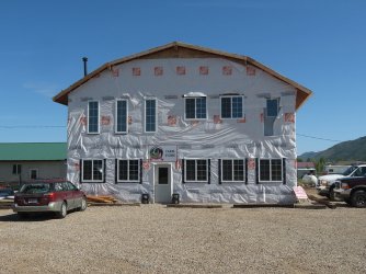
Their new store is under construction, but you can still get ice cream, or perhaps some raw chocolate or whole milk.
We then were off for Montpelier, Idaho then Bear Lake, Logan Canyon, and Logan.
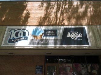
Where of course we had to stop in at Utah's best creamery.
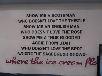
I'll expect everyone to have the Aggie fight song memorized by my next report.
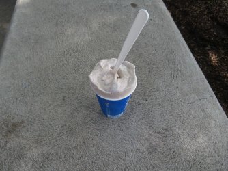
Oh, just look at it, a work of art. An Oreo malt. The gentleman who made this did an excellent job of mixing the Oreos throughout
the malt.
After indulging in ice cream for a second time that day it was off to Salt Lake and home sweet home.
Thanks to Bob, Eric and Terry for a great trip, and to my family too for that matter for putting up with me in the backcountry.
The End.

Getting ready to load our packs
Day 1 - Drive to Yellowstone
Cameras used on this trip:
- Canon Rebel T7i
- Canon PowerShot SX730 HS
- Canon PowerShot D20 (Waterproof)
- Canon PowerShot SD780 Is
Camera taken but not used: (Ask Bob)
- Olympus Tough TG-6 (Waterproof)
On June 2nd, we loaded the Subaru and headed north to Yellowstone. We had reservations at Madison Campground for the night, and we planned on stopping in Island Park to say "Hi" to Bob before heading on to West Yellowstone to pick up our official permit for the trip.
Now as you probably know, I usually do a short family trip to the Park to help me warm up to more serious trips later in the summer. This time I opened up the family trip to anyone on BCP who might want to join us for a short stay in the backcountry. @Bob, @ImNotDedYet, and @Dreamer all replied to my invitation, and joined us for the three day trip. @Pringles tried to work around her schedule, but it became impossible for her to find time to join us.
Now where was I? Oh yes, forecasts and such. We stopped by Bob's house and chatted for about thirty minutes, and then we were off to get our permit. We arrived at the Visitors' Center in West Yellowstone and were able to get right into the Backcountry Office, where the gentleman looked us over and decided that we were worthy of a Yellowstone backcountry experience. I added the three to our permit, and then we were on our way to the Park.
Up to this point, we had experienced heavy rain just north of Malad, Idaho, and then a few light sprinkles before Idaho Falls. Other than those two incidences, the weather seemd pretty reasonable to me.
We arrived at Madison Campground, and while I was checking in, it began to rain. We drove to our campsite and waited about an hour and a half in the car, hoping that the rain would stop, but it only seemed to get worse. At 4:30 pm, we said to hell with it and set up our tent in the pouring rain, which I'm sure was a sight to those camped around us.
We then waited calmly in the tent for another hour, without any let up from mother nature. I said, "Let's head to Old Faithful and get something to eat because I don't want to fix dinner in the pouring rain. So off to Old Faithful we went, and enjoyed a meal at the Old Faithful Lodge cafeteria. By the way, as soon as we got about five miles up the Firehole River towards Old Faithful, the rain stopped. On our return, once we dropped into the Madison River Valley, we were right back in the rain. It ended up raining through the night, and I thought that my worst fears were coming true.

Bison on the drive to Old Faithful

Red dogs too

Our tent at Madison Campground
Day 2 - Drive to Blacktail Creek Trailhead, Hike into Campsite 1A2 on Rescue Creek, Day hike to the summit of Turkey Pen Peak
We woke up to more rain on Saturday the 3rd, but it was more of a constant drizzle than a heavy rain. Of course, this meant that we had to pack the tent away wet, and I was afraid that it might mildew while sitting in the car for a few days before I could get back home to dry it out. Fortunately for us, that didn't happen.
So we ate our oatmeal in the rain, and then packed up and headed north towards the trailhead.

Rise and shine sleepyhead!
Now, we had agreed to meet Bob, ImNotDeadYet, and Dreamer at the trailhead sometime between 10:00 and 11:00 am, and since we left a little early from the campground for that timeframe, we stopped along the way to do the touristy thing as to not be too early to arrive at the trailhead.
Our first stop was Gibbon Falls, and of course it was still raining.


Now there is a story about Gibbon Falls from a previous trip that I'm sure I've told here before. I lost a can of bear spray scrambling down the east side of the falls, after exploring the old stagecoach road and Howard Eaton Trail that does a U turn above the falls. I did I thorough visual search this time to see if I could locate my sixteen year old can of bear spray, but to no avail.
The next stop for us was to visit @Pringles at the service station at Mammoth. Just before arriving at Mammoth, the rain/drizzle stopped. So we pulled into the gas station, topped off the tank, and then went inside to say hello. Of course, I had to be a smart aleck and ask if she sold Lays potato chips.

No, that is not a smile you see on my face.
From Mammoth to the trailhead, they are doing some repairs to the bridge over the Gardiner River, so we had to wait a couple of minutes before it was the east bounds' traffic turn to cross the bridge. About ten minutes later, we arrived at the trailhead where Dreamer was already waiting for us. Not soon after Bob drove in. ImNotDeadYet had to stop on his way to the trailhead to pick up his permit for Slough Creek, which he, Dreamer and Bob would backpack right after our trip was done. So we all started to get ready to hit the trail until ImNotDeadYet showed up.
Once we had everybody, and introductions were made, we were off to Rescue Creek.

Bob and Dreamer discussing past and future trips to the Wind Rivers at the trailhead

ImNotDeadYet excited for his first time camping in the Yellowstone backcountry

Map overview of the backpack into 1A2 - it's about 2.7 miles to camp from the trailhead.

Picture at the backcountry information sign. We called ourselves the @Rockskipper Gang. The meanest, orneriest, most trifling
bunch west of the Mississippi! Or at least west of Blacktail Deer Creek.

And we are off! Notice who is bring up the rear? Me of course.

I cannot resist taking a picture of a trail sign, with the hill climb in front of us. Of course, it is possible that the others are already up
and over the hill at this point.

I would be remiss if I didn't point out the old Howard Eaton Trail that runs to Tower
from here. I can still picture the old horse and mule trains making their way along
this old trail.

Halfway up the hill there are a couple of fenced off areas that are used for research, where no grazing is allowed.

First wildlife of the trip

Ooh, another sign. We will be heading left.

Pretty wide open country

Hairy Clematis

Bob has found the motherlode! I think he slipped this into his fanny pack and snuck it out after dark.

The @Pringles conundrum.

Strawberry flower

Geranium

Canary violet

Our campsite is located just up the draw and around the corner.

Arriving at camp.


A visitor right off the bat. The fox had caught a vole, and was taking it back to its den for the kits.

Hmm ......................... I guess you now know what Scatman attracts.

The Rescue Creek Hilton is open for business

Parry's townsend daisy
After setting up our tents, it was time for those who wanted to go, to hike to the summit of Turkey Pen Peak.

Overview map of day hike to Turkey Pen Peak, about 7 miles roundtrip

Some nice colors to the hill to the north of us on our way to Turkey Pen

Slender woodland star

Larkspur

Western labrador tea

View to the north. The Yellowstone River is down below

Arrowleaf balsamroot was prevalent

Western blue clematis

Deer skull?

Heart leafed arnica

A bumblebee enjoying a wildflower

View to the north from the trail

First good look at Turkey Pen Peak. We will curve around to the north side for an easier approach, with Dreamer leading the way.

Stoneseed

Lupine

A view to the northwest at Rattlesnake Ridge, Turkey Pen Peak is also part of the ridge

With the town of Gardiner, Montana below

Biennial cinquefoil

Some steep talus to negotiate on our way to the summit

Working her way up

Some scrambling required towards the top

Katie, on the summit, with the Yellowstone River below

Another shot looking down on the Yellowstone River

View off to the north towards Monitor Peak. Still a bit of snow up top.

Scatman down! On our descent from Turkey Pen, I stepped in a hole, and faceplanted into a shrub. I don't remember if Dreamer
told us before or after this that he had found a tick crawling on him. Ticks would soon become part of the trip.

@Dreamer, making his way up the long draw.

A grouse that scared us to death

The dreaded tick. This trip was full of them. The final count that I know of is:
Katie - 12
Scatman - 8
Dreamer at least three
Sheila - 2
Bob - 1
ImNotDeadYet - unknown at this time.
I might add that in over thirty years of backpacking Yellowstone, I had never seen a tick before.

Back at camp, and time for dinner

Lots of bear scat around camp. ImNotDeadyet had a nose for it.

1A2's water source

A little color in the sky at sunset.
The end of a good day, with just a light, late afternoon sprinkle since we left the trailhead.
Day 3 - Day hike to the summit of Mount Everts
Woke up to a sunny morning, ate some breakfast and got ready for our day hike to the summit of Mount Everts. It would rain off and on on us throughout the day.

Early morning visitor - three banded ladybeetle

Overview map of day hike to the summit of Mount Everts - about 4.5 miles roundtrip, all off-trail

ImNotDeadYet exiting the steep forested section at the beginning of our day hike

Shooting stars

Hilly country on the way up. We are about to enter a small downfall section of our route

Lots of small marshy ponds too.

Raining now as we pass through a patch of glacier lilies

Coming down a draw and approaching a marshy area

And what do we have here? A black bear on the north side of the marsh.

Giving the @Rockskipper Gang a good looking over, now on the opposite side (west) of the marsh from us

And while we were watching the bear, the elk were watching us.

Still circling the marsh, but needed to sit down to take it all in.

It then proceeded to go straight through the marsh, back to its original location when we first spotted it

Still keeping an eye on us as it emerges from the water

The summit ahead

Katie and Sheila approaching the summit

Close quarters under a tree to get out of the rain

A Tony's Chocolonely will return moral to a high state!

The true photographer of the trip

Sepulcher Mountain, with the summit of Electric Peak behind in the thin clouds

Looking towards (R-L) Quadrant Mountain, Antler Peak, Dome Mountain, and Bunsen Peak

Looking down on Osprey Falls to the southeast


Mammoth

Caterpillar up top

Cutleaf daisies on the summit

Cushion wild buckwheat

Bob, taking some shots to the north, from the summit

The @Rockskipper Gang on the summit. We are actually being photobombed in this shot. Can you tell by what?

Bighorn sheep, that's what.

ImNotDeadYet gifted me another heavy spoon, so I felt obligated to take it to the summit. @TractorDoc, notice the burden that
it has put on me?

Bob is going over Plan B at the summit. What is Plan B you ask? We'll let's start with Plan A. You see @Rockskipper was supposed
to meet us at the summit with a pack of mules, so that we could ride down the cliffs, probably on one of Bob's infamous horse
trails, and into the community of Mammoth, causing widespread panic to the visitors and townsfolk. Our insider, @Pringles, would
tell everyone that Lays were only available at Canyon Village. This would clear the town of anyone who dare resist our demands.
Amidst the confusion, we would present our demands for the superintendent. One, no more recreation.gov, back to the old
reservation system. Two, restore the Howard Eaton Trail to its Historic Trail status. I'm guessing Skipper must have been shopping
for a camper to not have shown up on such an important mission.
deliberation, we decided to take Bob up on his secondary plan.


A bald eagle spotted on our way down

Our old friend is still at the marsh.

This time it ran up the draw that we had come down earlier

Starting to rain a little bit again - one of the ponds on the ridge.

More glacier lilies

Another shot of the elongated pond.

Raining pretty god at this point. Can you make out the two black bears ahead? One is a cinnamon phased black bear.

Red baneberry - don't eat the berries!

On our return to camp, our friend the fox was back, with another vole in mouth.

Now the day before, when we were hiking up Turkey Pen Peak, ImNotDeadYet noticed that there
was a bison carcass not far from our campsite, so after our hike to the summit of Mount Everts,
Katie and I made our way over to it to check it out.

While at the carcass, our friend the fox came to visit

Just about dinner time

I took this shot just before I went to my tent. I had just finished my dinner, and it had begun to rain again. I was a little cold from
the rain on our hike, being in a kilt and all for the duration. After getting inside my tent, Bob, Dreamer and ImNotdeadYet saw a
grizzly bear down by the pine trees at the bottom of the shot. It took off into the trees on the right when it got wind of them. I
wish that I had stayed out just a little longer so that I could have seen it too.
Day Four - Back to the trailhead and drive to Jackson

Soaking up some sunshine for breakfast

Is all that going to fit in my pack?

Sheila, ready to hit the trail

Yep, she fit. I call this my Tom Joad backpack.

Bye, bye 1A2

Some horse riders avoided us as we returned to the trailhead. Smart move, you don't want to mess with the @Rockskipper Gang!

More clouds moving in

Beautiful country

Blacktail Deer Creek

A look to the west towards the Blacktail Ponds

Bob approaches the trailhead.

Time to divvy up the rest of the Tonys Chocolonely for a successful trip.

On our way to Jackson now. Looking back up the cliffs from Mammoth towards Mount Everts and where I took the pictures from
the day before.

A black bear between Mammoth and Norris

And a grizzly sow with three cubs

A quick stop at the Bear Pit at Old Faithful
Now it is time for a little Scatman gripe session, so put your earplugs in if you don't want to hear it. Let me start off by saying that I like tradition. When I've finished with a backpacking trip in the Park, and within reach of Old Faithful, I like to stop in at the Bear Pit for and appetizer and a brew. My brew of choice is Cold Smoke, a Scotch Ale, brewed by Kettlehouse Brewing out of Missoula, Montana. I can't get Cold Smoke in Salt Lake, so I really appreciate getting it on draught at the Bear Pit. The Pit has been closed the last few years due to Covid, so I was stoked to see that it was open again. As soon as I sat down though, I noticed that they had a new menu. And when I opened the menu, to my horror, there was no Cold Smoke!
 Instead of Cold Smoke, they had something called Copper Johns Scotch Ale instead. So I ordered a pint of Copper Johns only to have the waitress tell me that they were out. What in the bloody hell is going on?
Enjoying a Copper John Scotch Ale

Crushed chips and salsa(?)

Now this cheered Scat right up as we headed to our car. She is living life right my friends.
We were then on the road to Jackson, and an Oreo dark malt from Moos was in my future. But first, when reaching Jackson, we stopped off for dinner at Sidewinders American Grill.

How can you go wrong with an English Bulldog smoking a stogie?

A ranch burger and fries

And they had Cold Smoke!

Moos on the other hand was closed for what the sign said was computer maintenance.
ice cream?
Day 5 - Home to Salt Lake
We woke up early, headed to the Virginian for breakfast, where I ordered a nice spinach and jalapeno with pepper jack cheese omelet. I donated the heavy spoon to the restaurant, as it had grown in sized and could no longer fit into my pack.

The gifted heavy spoon

The Table of Knowledge
We were then off for Star Valley, and the Shumway Farms. We stopped at the Farm and got some ice cream. I ordered the Oreo Latte - two scoops. It was delicious! If you ever find yourself passing through Star Valley, check out Shumways. Though they open at 8:00 am, they usually don't start scooping until 11:00 am. They made an exception for our 9:30 am arrival.

Their new store is under construction, but you can still get ice cream, or perhaps some raw chocolate or whole milk.
We then were off for Montpelier, Idaho then Bear Lake, Logan Canyon, and Logan.

Where of course we had to stop in at Utah's best creamery.

I'll expect everyone to have the Aggie fight song memorized by my next report.

Oh, just look at it, a work of art. An Oreo malt. The gentleman who made this did an excellent job of mixing the Oreos throughout
the malt.
After indulging in ice cream for a second time that day it was off to Salt Lake and home sweet home.
Thanks to Bob, Eric and Terry for a great trip, and to my family too for that matter for putting up with me in the backcountry.
The End.
Last edited:

