Udink
Still right here.
- Joined
- Jan 17, 2012
- Messages
- 1,692
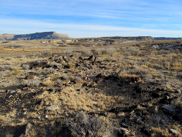
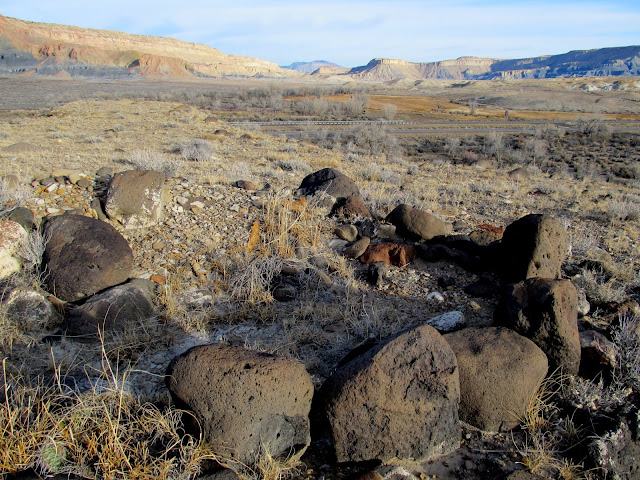
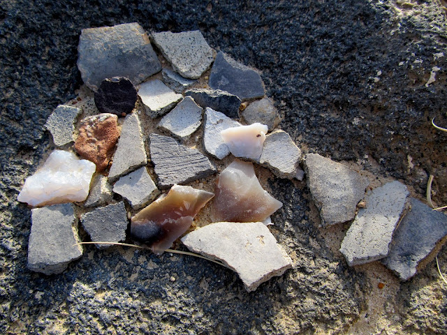
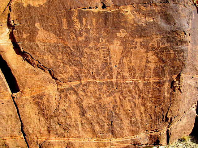
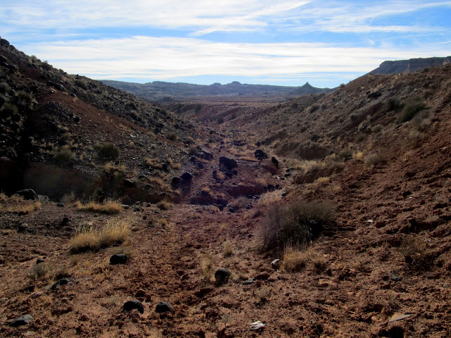
Early on the morning of Black Friday, my bro-in-law, Mark, and I loaded up some camping gear and left for an overnight exploration of the southwestern San Rafael Swell. It's the one part of the Swell I haven't been to much, but my to-do list for that area had grown enough to make a trip there worthwhile. I've seen, from several online sources, photos of Fremont pit houses and geoglyphs (or perhaps a better term is petroforms?). The photos all had enough background included for me to identify their locations using Google Earth, so off we went in search of them! We hit the town of Emery and then took the road through Miller Canyon and headed south past I-70 on a dirt road. We made a short hike to what I believed would be a single pit house, but it turned out to be a small village with at least five identifiable pit houses and several other mounds that could have also been structures at one point. On the ground in and between the pit houses were potsherds, chert flakes, and one broken metate. With my binoculars I scanned the hills across the creek from the village and saw at least one other pit house, but we didn't hike over to it on this trip.
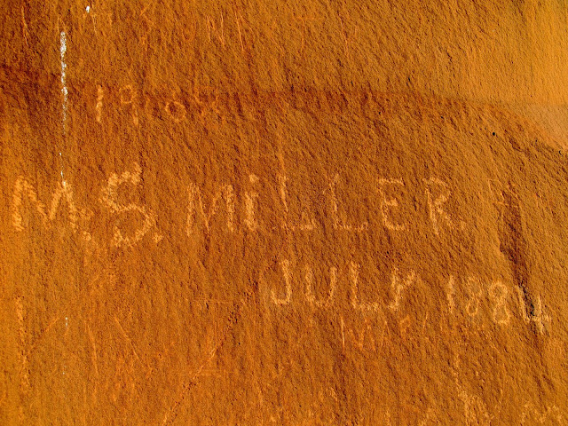
Inscription in Miller Canyon: M.S. Miller, July 1884
Fremont pit houses
Fremont pit house
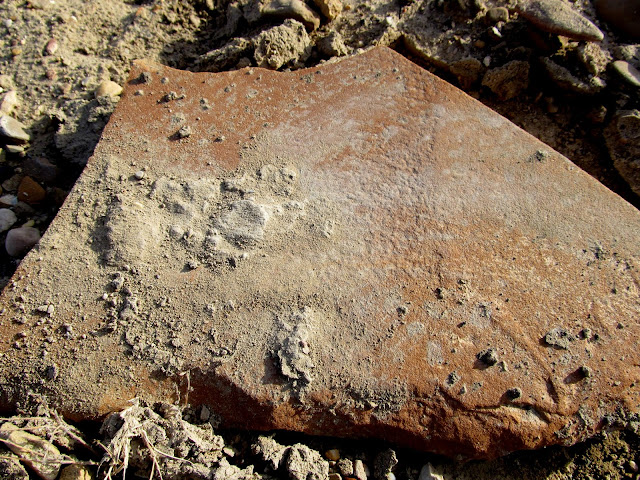
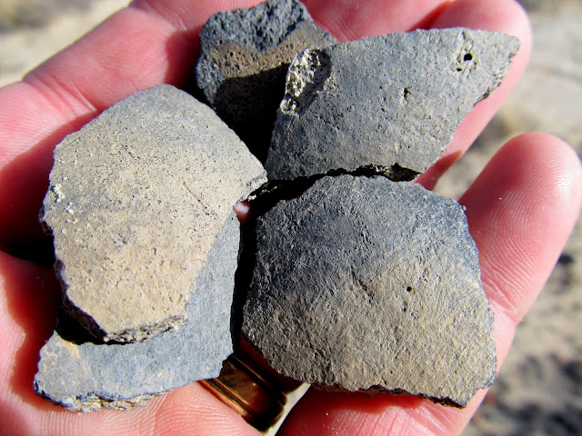
Potsherds and chert
Broken metate
Fremont pit house
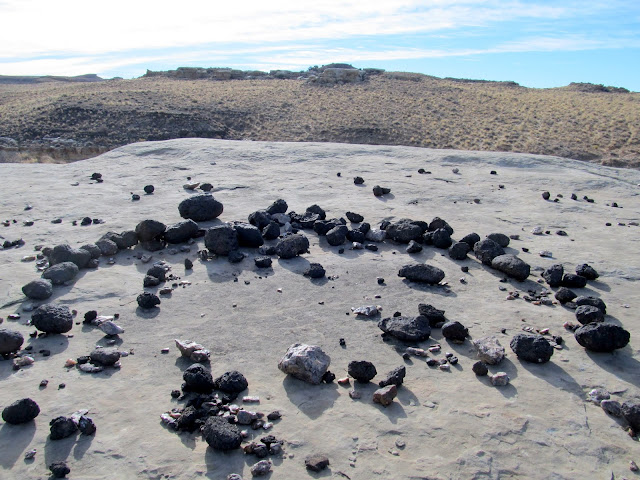
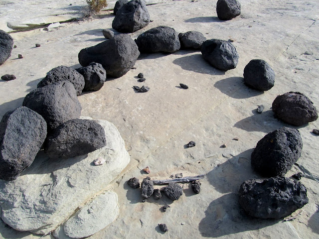
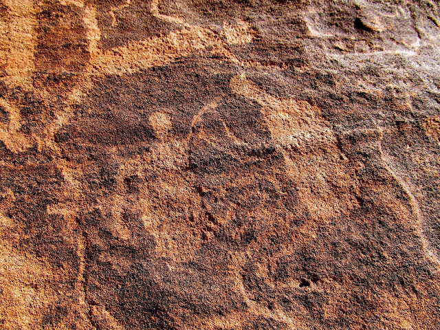
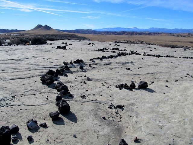
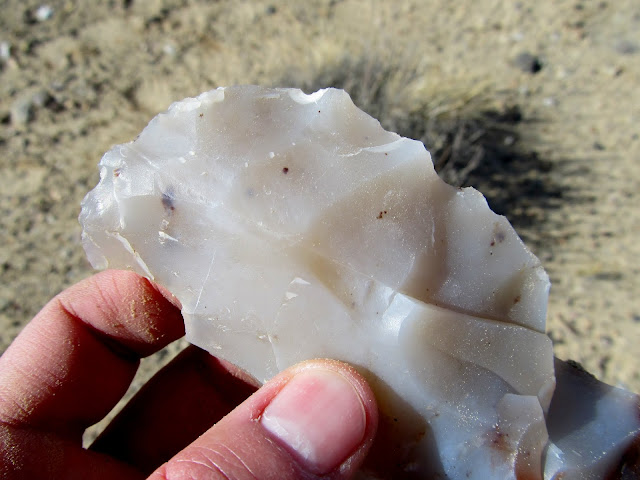
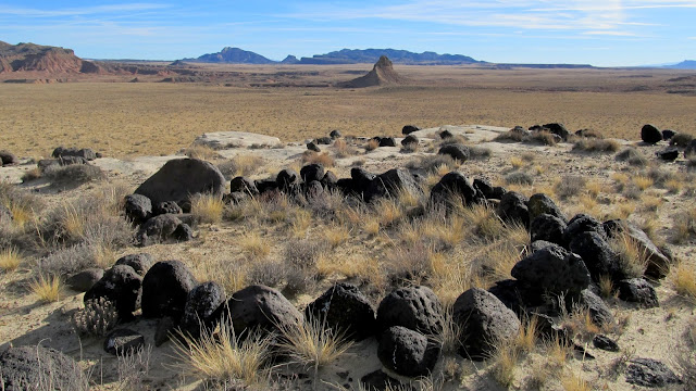
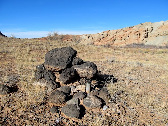
Next we drove to an area near Mussentuchit Flat to look for geoglyphs. I'd only seen a single photo of a geoglyph in the area, but by panning around in Google Earth I identified several other possible geoglyphs. Mark and I visited several locations in the area and found a few man-made rock alignments. I'm still undecided on whether they're legitimately old (created by the Fremont or another prehistoric group) or more recent, but the presence of several broken grinding stones at one site leads me to believe they might be legit. We checked out some petroglyphs I'd seen before, then moved on to the main, large geoglyph that I was after. It measures about 475 feet in length and consists of black basalt rocks laid down in curving lines across light-colored Curtis Formation sandstone.
Cliffs above Sand Cove Spring
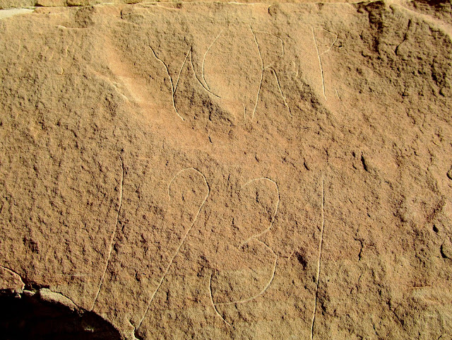
W.R.P. 1931
Rock circle near Sand Cove Spring
Smaller rock circle
Broken grinding stones found near the rock circle
My Jeep parked on the road
Mussentuchit petroglyphs
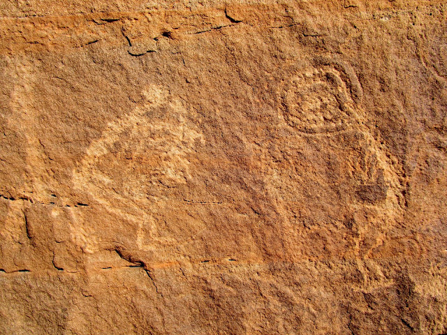
Mussentuchit petroglyphs
Mussentuchit petroglyphs
Volcanic sill between sedimentary layers
Line of rocks forming a possible geoglyph
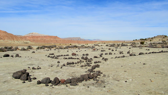
Geoglyph
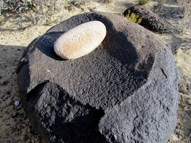
One of several roughly-worked pieces of chert in the area
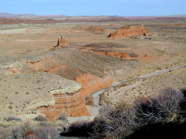
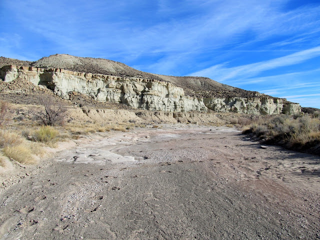
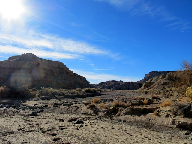
Mussentuchit Wash near Sand Cove
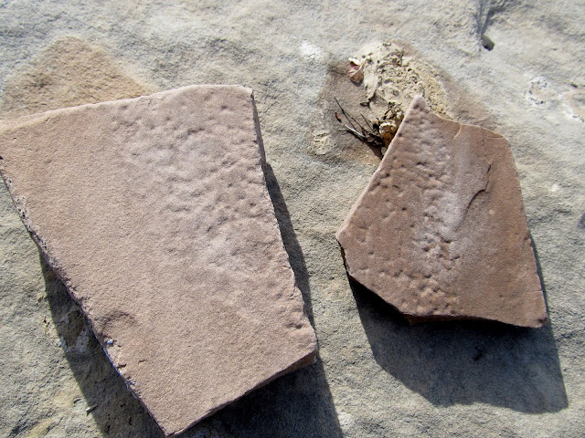
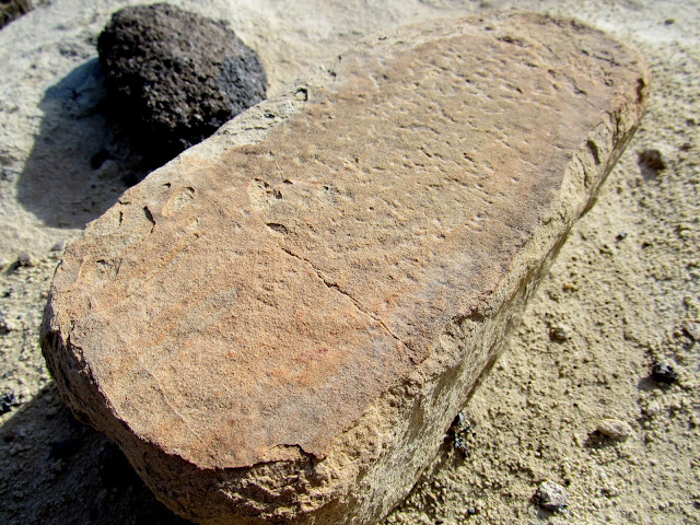
I had one final hike planned for the day to a pit house near Willow Springs Wash. It was our longest hike of the day and it was well worth it. The pit house seemed like it was in an unusual location, with no permanent water source nearby, but it afforded views over a broad area that would have been ideal for spotting game. There was the usual scattering of potsherds on the ground, along with a really nice metate and several manos, along with one flat grinding stone.
Willow Springs Wash
Remains of a Fremont pit house
Metate and mano
Potsherds
Grinding stone
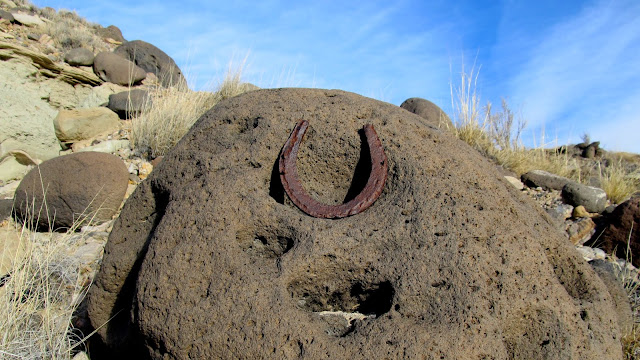
Horseshoe found along Willow Springs Wash
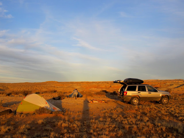
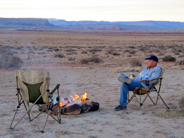
I didn't have any idea where to camp for the night. We drove toward the next day's destination while keeping an eye out for a decent spot and found one north of Hebe's Mountain. We gathered rocks for a fire pit and set up our tents, then had dinner and spent the long winter evening killing time until it was bed time. Sunset was very nice and lasted a long time, casting beautiful colors on the clouds in all directions. While rotating our bodies near the fire to keep all sides warm, we each saw at least a couple of meteors.
Setting up camp north of Hebe's Mountain
'Round the camp fire
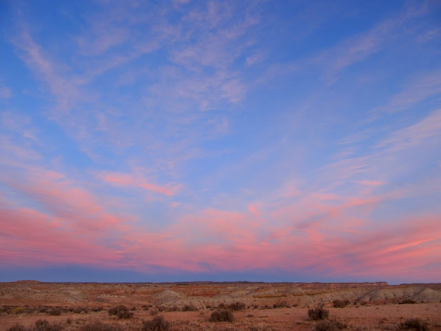
Pink clouds to the east after sunset
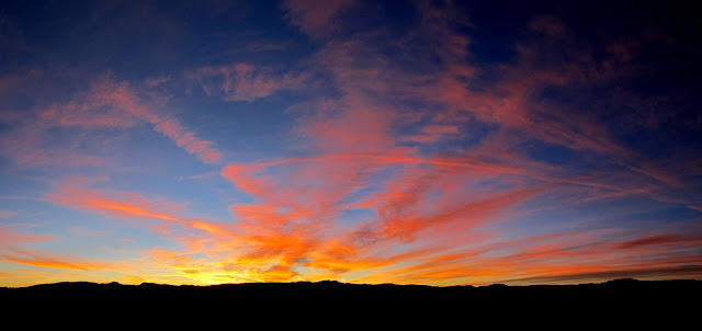
Sunset panorama
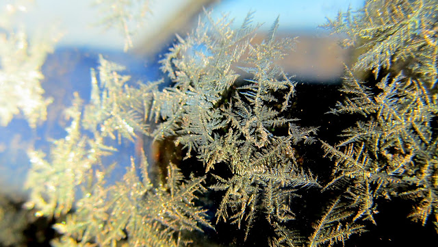
It was a cold night. I'd brought enough bedding to keep myself and the dogs warm, and before sunrise I was up and about, getting coffee and breakfast while slowly packing up camp. Everything was covered in frost, so instead of neatly rolling up my tent I just wadded it up into the Jeep and we set out for one last hike.
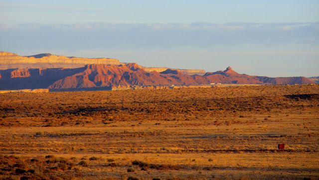
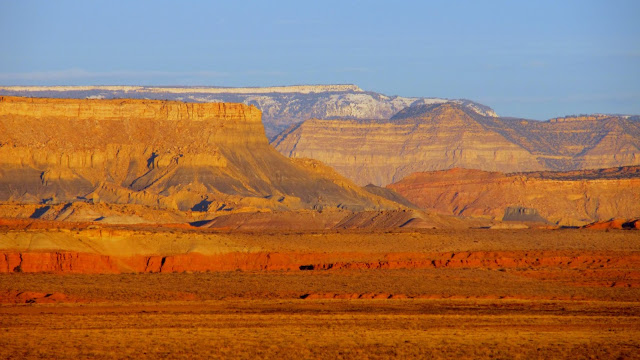
Morning view from camp, facing northeast toward I-70
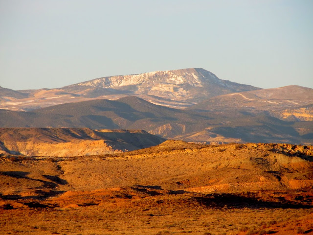
Hilgard Mountain 23 miles distant in the Fish Lake Plateau
Coal Cliffs and the Wasatch Plateau to the northwest
Closeup of frost on the Jeep
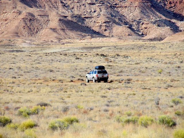
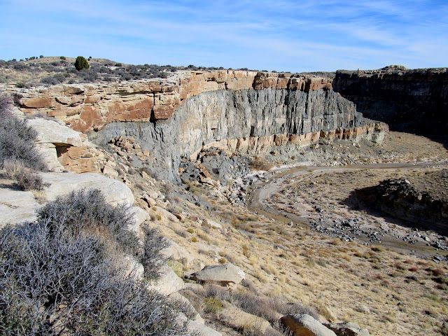
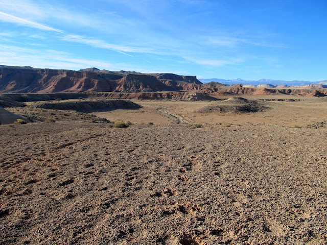
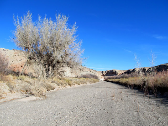
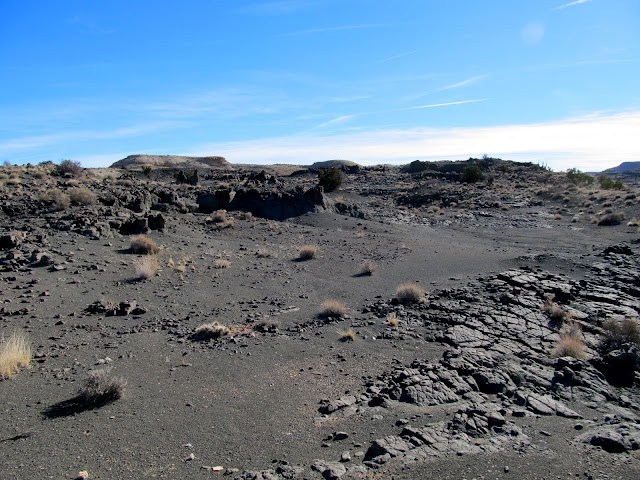
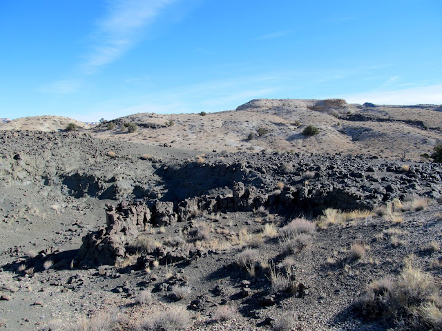
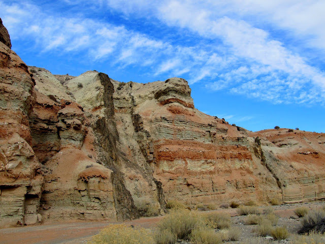
Considering all the known pit houses and geoglyphs in the area, I'd spent plenty of time before this trip searching the satellite imagery for similar structures that I didn't already know about. I thought I'd found some pit houses in a small tributary drainage to Hebe Canyon, which was our destination for Saturday. I parked the Jeep at an old, reclaimed gypsum quarry, and we hiked cross-country until we reached Willow Springs Wash. From there we hike downstream to the confluence with Hebe Canyon, occasionally taking shortcuts along cow trails to bypass long loops in the wash. Upon reaching the circular structures I'd seen in Google Earth, we found that they were naturally occurring within the volcanic sill that's exposed in the area. It felt like a wasted hike, but it was nice to explore a canyon that it seems few people see. During the hike back to the Jeep there was one spot in the sky that kept producing iridescent clouds. When we got back to the Jeep we decided to head home. I'd hoped to make one last stop to look for pretty rocks in an area I'd been to once before, but our legs protested and we made a beeline for the comforts of home instead.
Cross-country route to Willow Springs Wash
Willow Springs Wash
Shortcut across a long loop in Willow Springs Wash
Section corner marker
Hebe Canyon at the Willow Springs Wash confluence
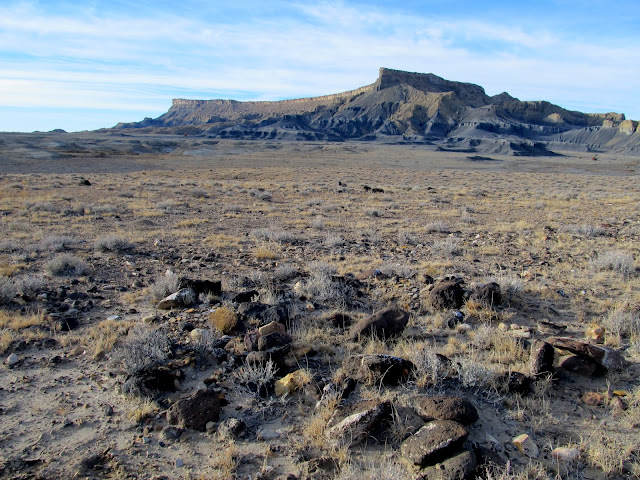
Hebe's Mountain
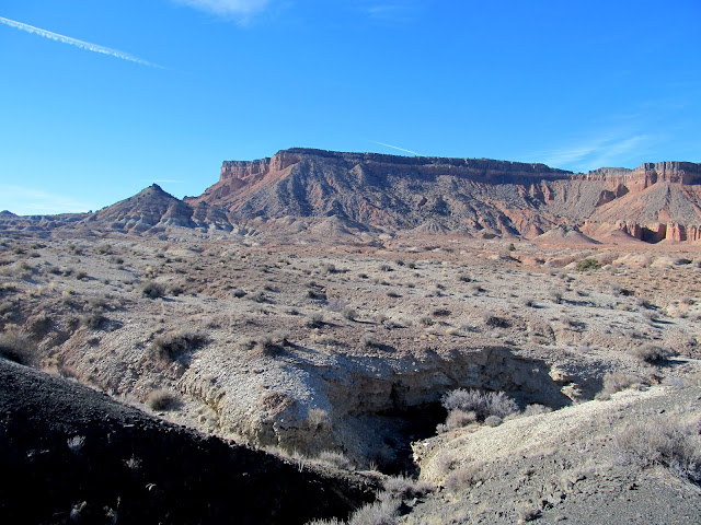
Exposed volcanic sill east of Hebe Canyon
Basalt formations
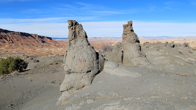
Circular basalt formation
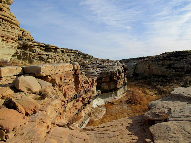
Volcanic dike in the wall of Hebe Canyon
Iridescent clouds
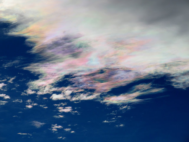
Photo Gallery: Mussentuchit, Willow Springs, and Hebe
Featured image for home page:

Inscription in Miller Canyon: M.S. Miller, July 1884
Fremont pit houses
Fremont pit house
Potsherds and chert
Broken metate
Fremont pit house
Next we drove to an area near Mussentuchit Flat to look for geoglyphs. I'd only seen a single photo of a geoglyph in the area, but by panning around in Google Earth I identified several other possible geoglyphs. Mark and I visited several locations in the area and found a few man-made rock alignments. I'm still undecided on whether they're legitimately old (created by the Fremont or another prehistoric group) or more recent, but the presence of several broken grinding stones at one site leads me to believe they might be legit. We checked out some petroglyphs I'd seen before, then moved on to the main, large geoglyph that I was after. It measures about 475 feet in length and consists of black basalt rocks laid down in curving lines across light-colored Curtis Formation sandstone.
Cliffs above Sand Cove Spring
W.R.P. 1931
Rock circle near Sand Cove Spring
Smaller rock circle
Broken grinding stones found near the rock circle
My Jeep parked on the road
Mussentuchit petroglyphs
Mussentuchit petroglyphs
Mussentuchit petroglyphs
Volcanic sill between sedimentary layers
Line of rocks forming a possible geoglyph
Geoglyph
One of several roughly-worked pieces of chert in the area
Mussentuchit Wash near Sand Cove
I had one final hike planned for the day to a pit house near Willow Springs Wash. It was our longest hike of the day and it was well worth it. The pit house seemed like it was in an unusual location, with no permanent water source nearby, but it afforded views over a broad area that would have been ideal for spotting game. There was the usual scattering of potsherds on the ground, along with a really nice metate and several manos, along with one flat grinding stone.
Willow Springs Wash
Remains of a Fremont pit house
Metate and mano
Potsherds
Grinding stone
Horseshoe found along Willow Springs Wash
I didn't have any idea where to camp for the night. We drove toward the next day's destination while keeping an eye out for a decent spot and found one north of Hebe's Mountain. We gathered rocks for a fire pit and set up our tents, then had dinner and spent the long winter evening killing time until it was bed time. Sunset was very nice and lasted a long time, casting beautiful colors on the clouds in all directions. While rotating our bodies near the fire to keep all sides warm, we each saw at least a couple of meteors.
Setting up camp north of Hebe's Mountain
'Round the camp fire
Pink clouds to the east after sunset
Sunset panorama
It was a cold night. I'd brought enough bedding to keep myself and the dogs warm, and before sunrise I was up and about, getting coffee and breakfast while slowly packing up camp. Everything was covered in frost, so instead of neatly rolling up my tent I just wadded it up into the Jeep and we set out for one last hike.
Morning view from camp, facing northeast toward I-70
Hilgard Mountain 23 miles distant in the Fish Lake Plateau
Coal Cliffs and the Wasatch Plateau to the northwest
Closeup of frost on the Jeep
Considering all the known pit houses and geoglyphs in the area, I'd spent plenty of time before this trip searching the satellite imagery for similar structures that I didn't already know about. I thought I'd found some pit houses in a small tributary drainage to Hebe Canyon, which was our destination for Saturday. I parked the Jeep at an old, reclaimed gypsum quarry, and we hiked cross-country until we reached Willow Springs Wash. From there we hike downstream to the confluence with Hebe Canyon, occasionally taking shortcuts along cow trails to bypass long loops in the wash. Upon reaching the circular structures I'd seen in Google Earth, we found that they were naturally occurring within the volcanic sill that's exposed in the area. It felt like a wasted hike, but it was nice to explore a canyon that it seems few people see. During the hike back to the Jeep there was one spot in the sky that kept producing iridescent clouds. When we got back to the Jeep we decided to head home. I'd hoped to make one last stop to look for pretty rocks in an area I'd been to once before, but our legs protested and we made a beeline for the comforts of home instead.
Cross-country route to Willow Springs Wash
Willow Springs Wash
Shortcut across a long loop in Willow Springs Wash
Section corner marker
Hebe Canyon at the Willow Springs Wash confluence
Hebe's Mountain
Exposed volcanic sill east of Hebe Canyon
Basalt formations
Circular basalt formation
Volcanic dike in the wall of Hebe Canyon
Iridescent clouds
Photo Gallery: Mussentuchit, Willow Springs, and Hebe
Featured image for home page: