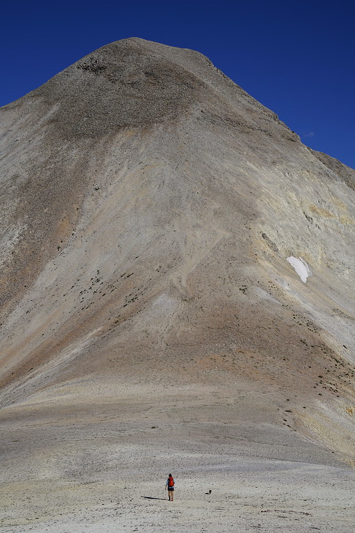
Guess the spot: Utah Edition

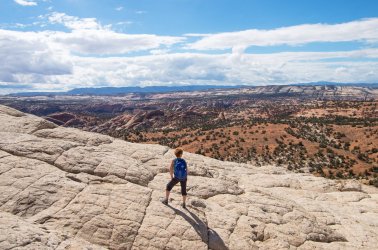
between @desertvic and I, I'm confident we're close. I'll guess east of Sand Creek on Bowington Bench or below McGrath Point. I think @desertvic ought to go next if we're in the right area.

For some reason my walk connecting BMT to the River via Slickrock Saddle and Bowington Road was a really special hike. I typically appreciate solitude, even if I'm not traveling in the "grandest" terrain.
 
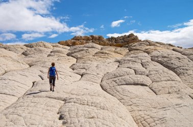
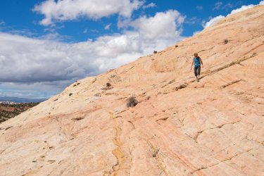
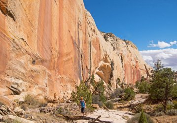
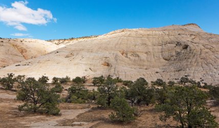
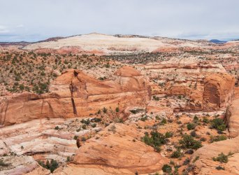
A few more images from this lollipop loop. A further clue is that there's something of interest along those cliffs.IMGP0516 copy 2.jpgIMGP0538 copy 2.jpgIMGP0542 copy 2.jpg
 
What about the white cliffs just southeast of what is labeled as haymaker bench on Gaia.

Not sure how else to describe that spot. Pretty sure I can see highway 12 in the photo.
 
What about the white cliffs just southeast of what is labeled as haymaker bench on Gaia.

Not sure how else to describe that spot. Pretty sure I can see highway 12 in the photo.

yes, think you’re right. Last photo, Steve’s wife is walking right by the rattlesnake close to the pictos …..
 
Last edited:
What about the white cliffs just southeast of what is labeled as haymaker bench on Gaia.

Not sure how else to describe that spot. Pretty sure I can see highway 12 in the photo.
We have a winner! @priz1234, you are up.
We crossed Haymaker Bench and ascended the north end, then traversed south and down across the white dome, closing the loop along the base, passing the pictos that @Titans mentions along the way.
North end of the dome. We followed the obvious ridge (where the original clue photo was taken) to skyline and then along it.
P1040604 copy 2.jpg
Below, looking SW from the ascent.
IMGP0512 copy 2.jpg
The dome as seen from the SW on another hike. The Copelands (WOW authors) call this "The Glacier" on their list of "secret" guided hikes, many of which can be figured out with a bit of google earth time.
https://www.utahslickrockguides.com
IMGP0670-copy-2.jpg
 
I may have to go back and explore that area a little more. Right in that same area, almost directly east from those white domes there is a nice view overlooking the confluence of Deer Creek and Boulder Creek.

Next Spot
DSE08325f.jpg
 
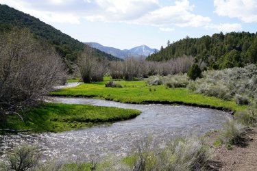
My first thought was Zedd's Meadows as well but I couldn't line up the background scenery in Google Earth. UM Creek was throwing me off because while the scenery lined up, the trees on the hillsides look so much more dense in the photo than in the sat imagery.

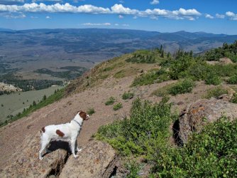
Next, name the peak I'm standing on:

IMG_5157.jpg
 
Haha, yep! I was trying to be clever. :D Your previous spot in UM Creek is visible somewhere in my photo.
haha it was. I almost thought it might be some other peak in that same area as a trick. Nothing else seemed to line up though. It looks like a nice view from up there. I've been meaning to get another trip out there to get up to that peak.

How about another peak. But from the approach to it.

DSC02068-XL.jpg
 
gonna go with Peale as a WAG since I'm not on a crappy laptop that doesn't do google earth very well
 
Back
Top