Navigation
Install the app
How to install the app on iOS
Follow along with the video below to see how to install our site as a web app on your home screen.
Note: This feature may not be available in some browsers.
More options
Style variation
You are using an out of date browser. It may not display this or other websites correctly.
You should upgrade or use an alternative browser.
You should upgrade or use an alternative browser.
The Before/After thread
- Thread starter Vegan.Hiker
- Start date
- Joined
- Aug 8, 2016
- Messages
- 2,079
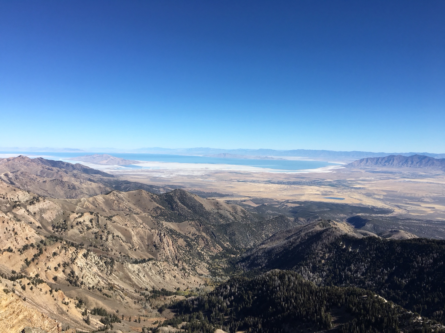
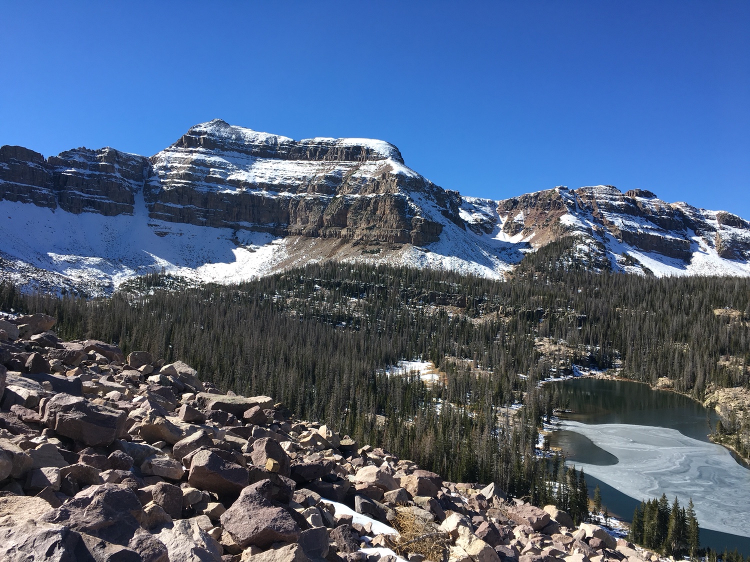
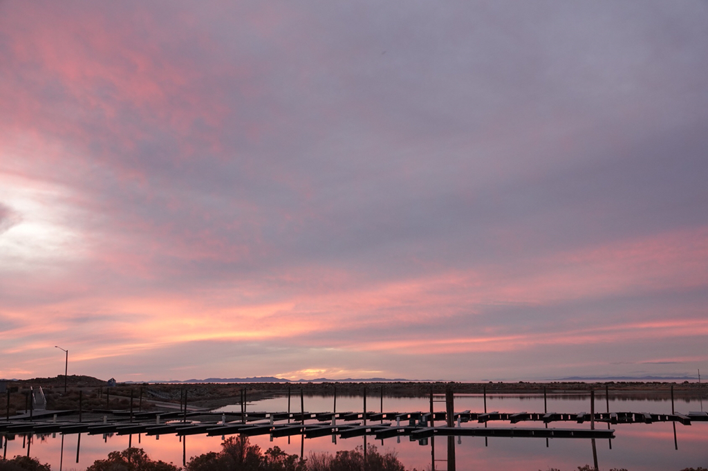
Before: Heading out in the morning for Deseret Peak. Planning on doing “the loop”.

Sent from my iPhone using Tapatalk
During:
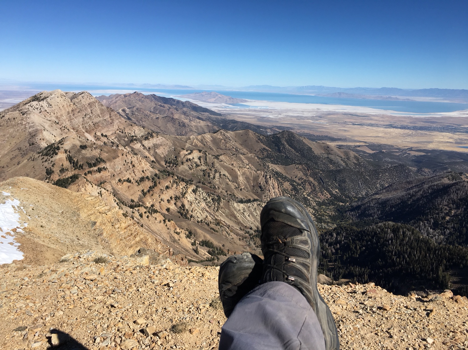
Deseret Peak - 11,033 ft
Sent from my iPhone using Tapatalk
- Joined
- May 31, 2015
- Messages
- 3,354
Very envious. I was hoping to get up there this month, but it's not looking too likely anymore. Living vicariously through you! Be sure to stop by Dairy Delight in Tooele for a giant burger.During:
Deseret Peak - 11,033 ft
Sent from my iPhone using Tapatalk
- Joined
- Aug 8, 2016
- Messages
- 2,079
During:
Deseret Peak - 11,033 ft
Sent from my iPhone using Tapatalk
After:
This is an awesome hike. Definitely going to be a favorite. Worthy of a trip report coming soon.
Sent from my iPhone using Tapatalk
- Joined
- Aug 8, 2016
- Messages
- 2,079
BEFORE:
With the nice weather forecast I took tomorrow off work. Heading up MLH but can’t decide...
1) Cuberant Lake with a possible Mt Marsell summit returning via Kamas/Lofty Lakes. Done this before without Marsell.
-or-
2) Kermsuh Lake + maybe up to the saddle to the west for a view. Never been here before.
Help me choose before I get out of cell range in the morning.
Sent from my iPhone using Tapatalk
- Joined
- Jun 11, 2017
- Messages
- 4,670
Try something new.
- Joined
- Jun 25, 2012
- Messages
- 4,433
I won't weigh in on your choice but will say to let us know the conditions... Wondering about the prevalence of white (snow) and orange (humans with weaponry) because I aspire to camp in the Hayden Fork valley on the MLH starting Friday...BEFORE:
With the nice weather forecast I took tomorrow off work. Heading up MLH but can’t decide...
1) Cuberant Lake with a possible Mt Marsell summit returning via Kamas/Lofty Lakes. Done this before without Marsell.
-or-
2) Kermsuh Lake + maybe up to the saddle to the west for a view. Never been here before.
Help me choose before I get out of cell range in the morning.
Sent from my iPhone using Tapatalk
Last edited:
- Joined
- Aug 8, 2016
- Messages
- 2,079
BEFORE:
With the nice weather forecast I took tomorrow off work. Heading up MLH but can’t decide...
1) Cuberant Lake with a possible Mt Marsell summit returning via Kamas/Lofty Lakes. Done this before without Marsell.
-or-
2) Kermsuh Lake + maybe up to the saddle to the west for a view. Never been here before.
Help me choose before I get out of cell range in the morning.
Sent from my iPhone using Tapatalk
I ended up going into the West Basin... Beautiful!

@Artemus I was the only one in the parking area this morning at 7:00 am. Only two other cars when I returned at 5:30 pm. Saw no one on the trail all day. Didn’t even notice hunters in the campground. I’m sure that will be different on the weekend though. Snow is not a problem. There is some in the shade on north-facing areas but no reason to stay home for sure!
Here’s the south face of A1...

Sent from my iPhone using Tapatalk

- Joined
- Aug 8, 2016
- Messages
- 2,079
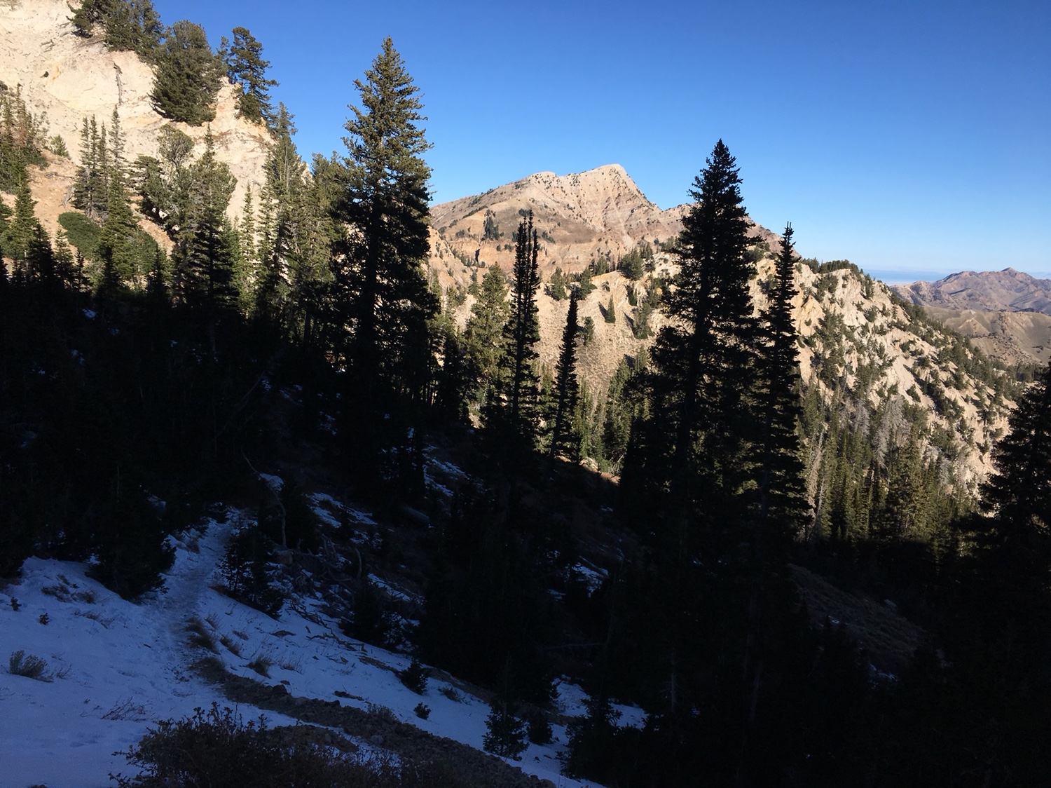
Before: Thurston Peak via GWT. Hoping this route is easier on the knees
Sent from my iPhone using Tapatalk
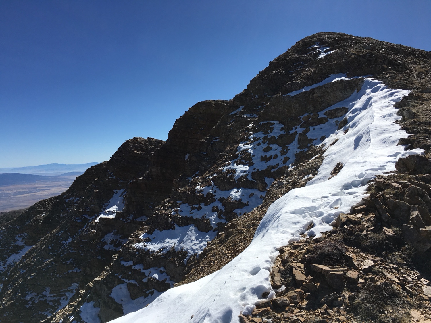
During: Ran into this beast...
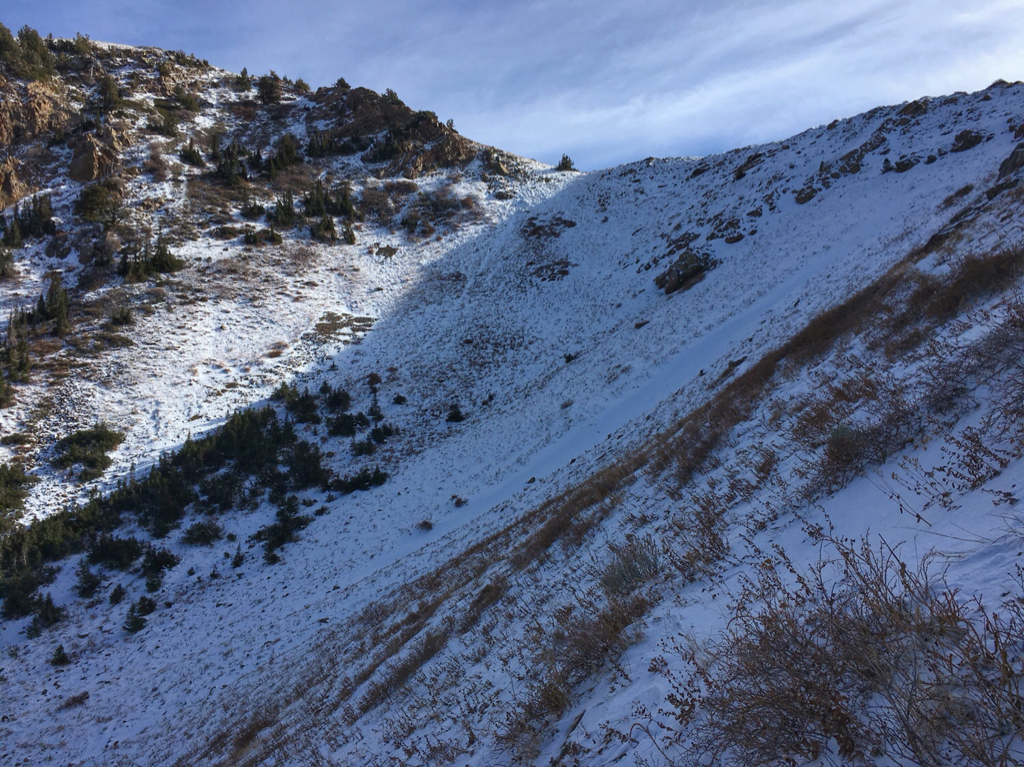
Trail runs across the face then switches back to the saddle on the left side. Too spooky for me being solo and without my ice axe.
Sent from my iPhone using Tapatalk
- Joined
- Jun 11, 2017
- Messages
- 4,670
Spookiness is the better part of valor or something like that. Good call in my book.
- Joined
- Aug 8, 2016
- Messages
- 2,079
Spookiness is the better part of valor or something like that. Good call in my book.
The snow wasn’t all that deep... maybe 4-5 inches but it had a one inch crust on it that sloughed off with the slightest prodding. Soft underneath so it was a bit unpredictable.
Sent from my iPhone using Tapatalk
Last edited:
- Joined
- Aug 8, 2016
- Messages
- 2,079
During: Ran into this beast...
Trail runs across the face then switches back to the saddle on the left side. Too spooky for me being solo and without my ice axe.
Sent from my iPhone using Tapatalk
After: well I didn’t get to the summit but it was a beautiful day to abuse one’s knees anyway
")


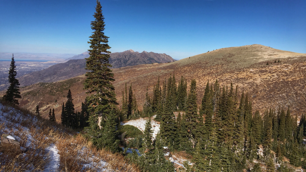

Sent from my iPhone using Tapatalk
- Joined
- Aug 8, 2016
- Messages
- 2,079
Before: Forgot again (blush)
Plan A-Snowshoe the Clyde Lake Loop.
Headed out early this morning thought I better check the UDOT app... closed! It was open yesterday [emoji20]
Plan B-Explore a possible route to Thurston Peak via Snow Creek Canyon. Vague references online to a trail going part way. Davis County web site shows a trail going all the way to the GWT just below the peak. NOT! Trail deteriorates after about a mile. Bushwhacked a bit then gave up. Scrub oak is murder on a steep slope.
Plan C-Frary Peak on Antelope Island. Success!
Sent from my iPhone using Tapatalk
- Joined
- Aug 8, 2016
- Messages
- 2,079
Before: Forgot again (blush)
Plan A-Snowshoe the Clyde Lake Loop.
Headed out early this morning thought I better check the UDOT app... closed! It was open yesterday [emoji20]
Plan B-Explore a possible route to Thurston Peak via Snow Creek Canyon. Vague references online to a trail going part way. Davis County web site shows a trail going all the way to the GWT just below the peak. NOT! Trail deteriorates after about a mile. Bushwhacked a bit then gave up. Scrub oak is murder on a steep slope.
Plan C-Frary Peak on Antelope Island. Success!
Sent from my iPhone using Tapatalk
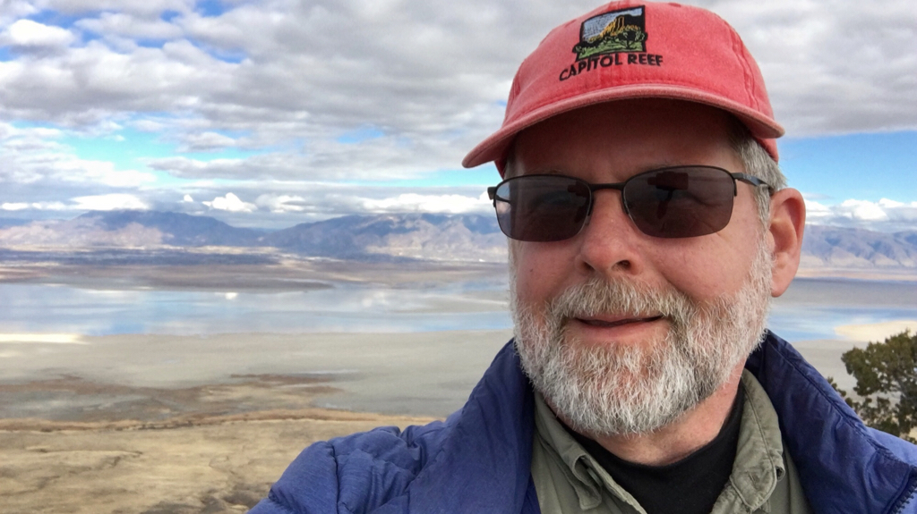
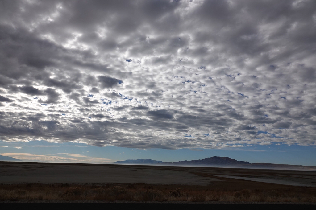
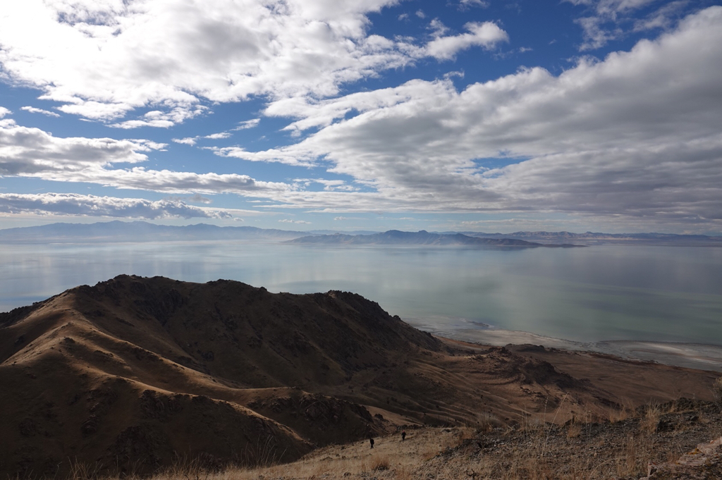
After: Was a beautiful day to try out the new camera!
This picture of Antelope Island from the Bonneville Shoreline Trail inspired plan C...
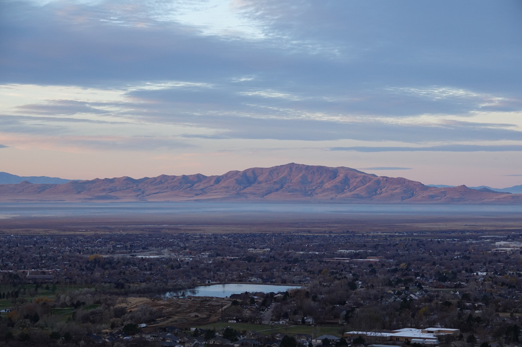
Light and colors were amazing all day long...


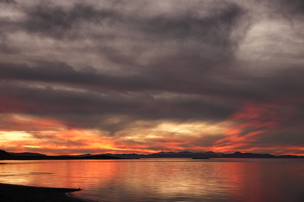

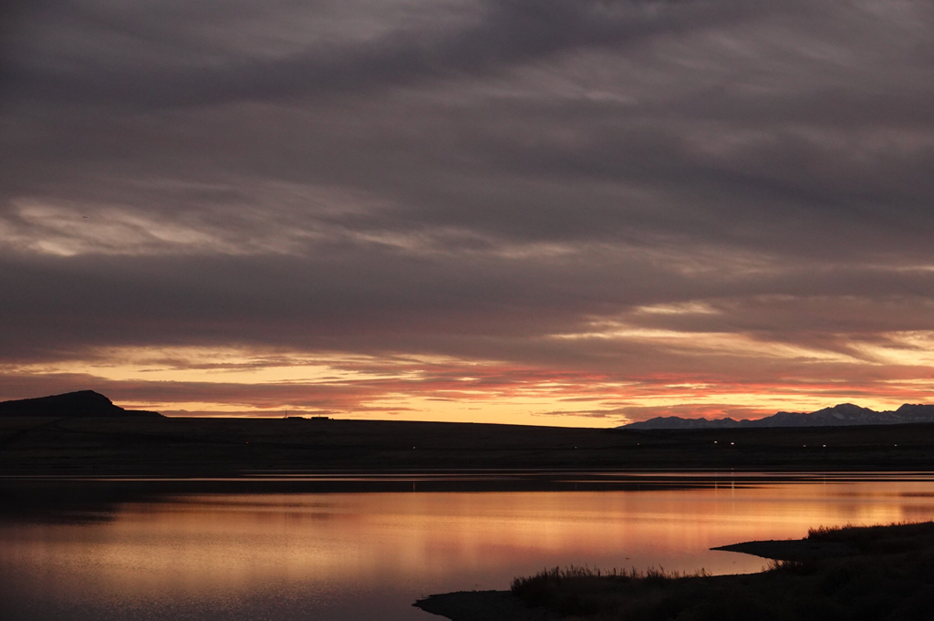
Sent from my iPhone using Tapatalk
- Joined
- Jun 11, 2017
- Messages
- 4,670
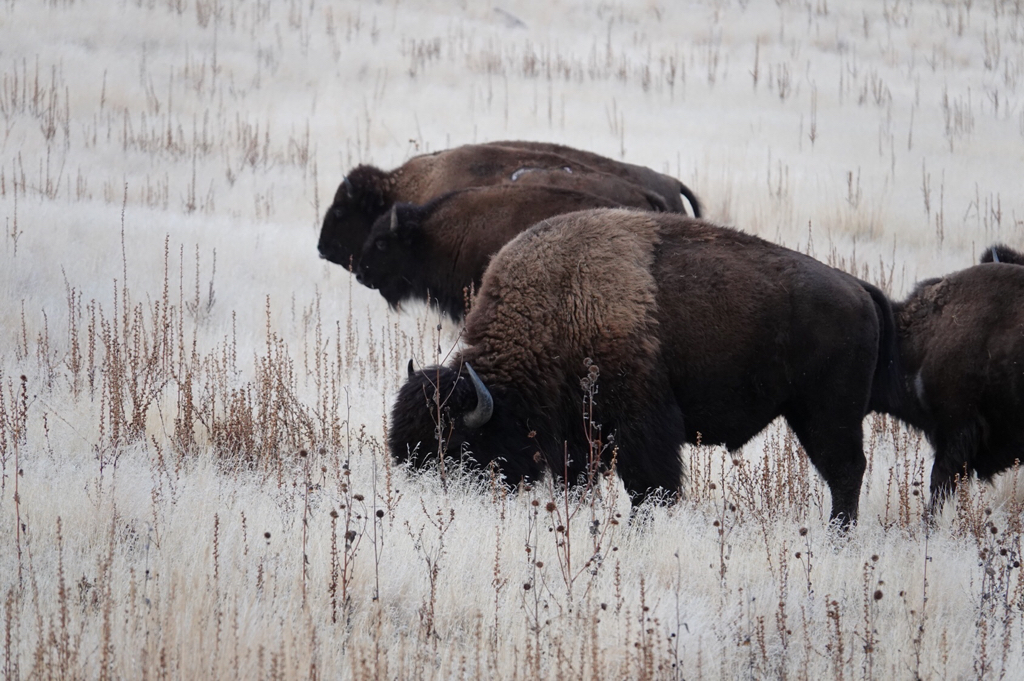
Cuberant, some nice shots there! I especially like the sunset ones, the buffalo, and the night shot of the city. Congrats on a great hike, some beautiful photos, and a super camera.
- Joined
- Aug 8, 2016
- Messages
- 2,079
Cuberant, some nice shots there! I especially like the sunset ones, the buffalo, and the night shot of the city. Congrats on a great hike, some beautiful photos, and a super camera.
Thanks! It’s pretty amazing what you can do with gear that can gather some light. I can’t wait to learn how to use it so I can make it do what I want
Sent from my iPhone using Tapatalk