- Joined
- Apr 20, 2013
- Messages
- 1,539
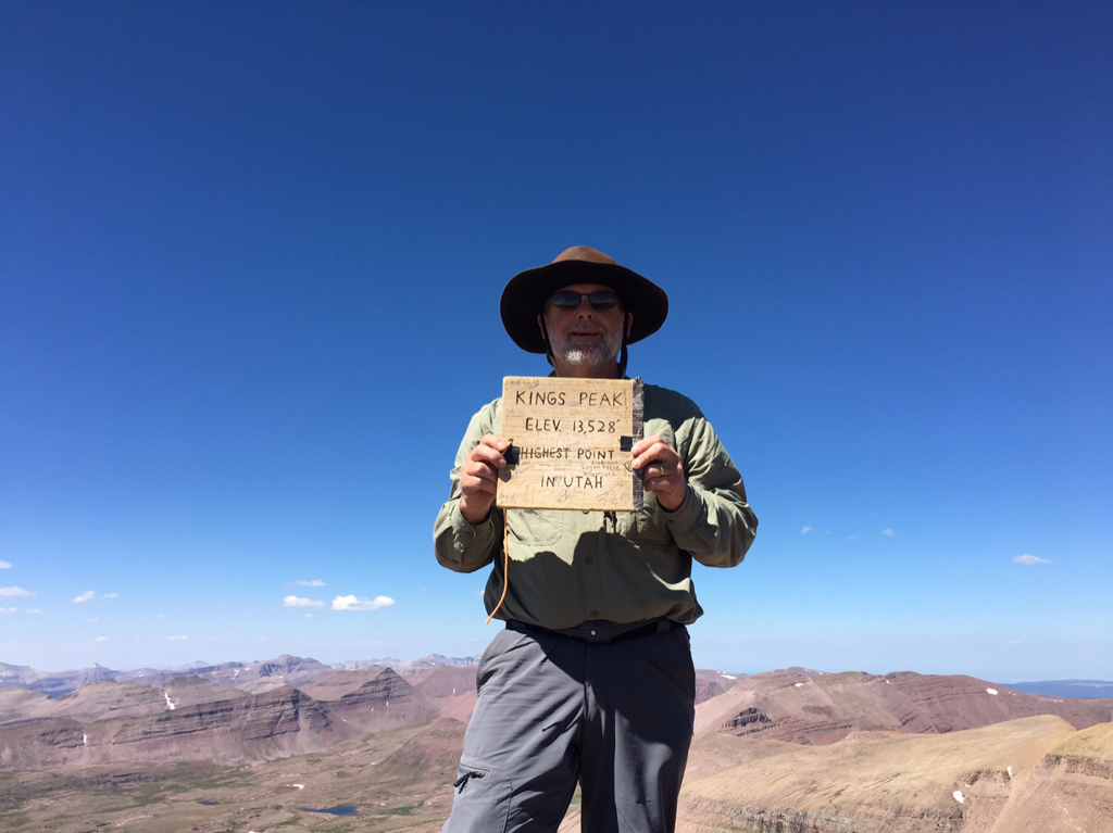
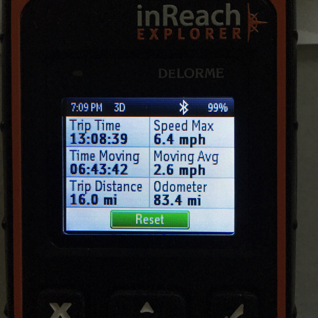
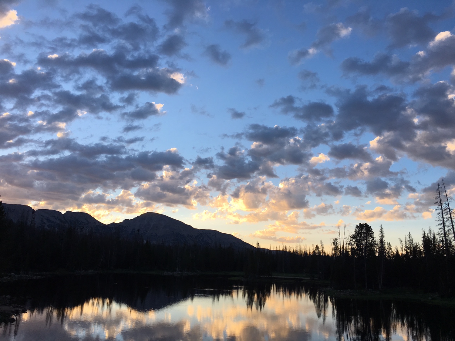
After: it was a very interesting day. A new personal best for me for mileage. I'll get a trip report up soon... meanwhile this is how it started...
Sent from my iPhone using Tapatalk
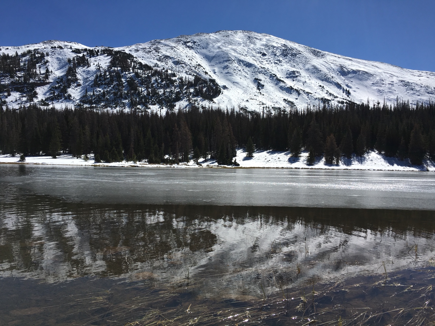
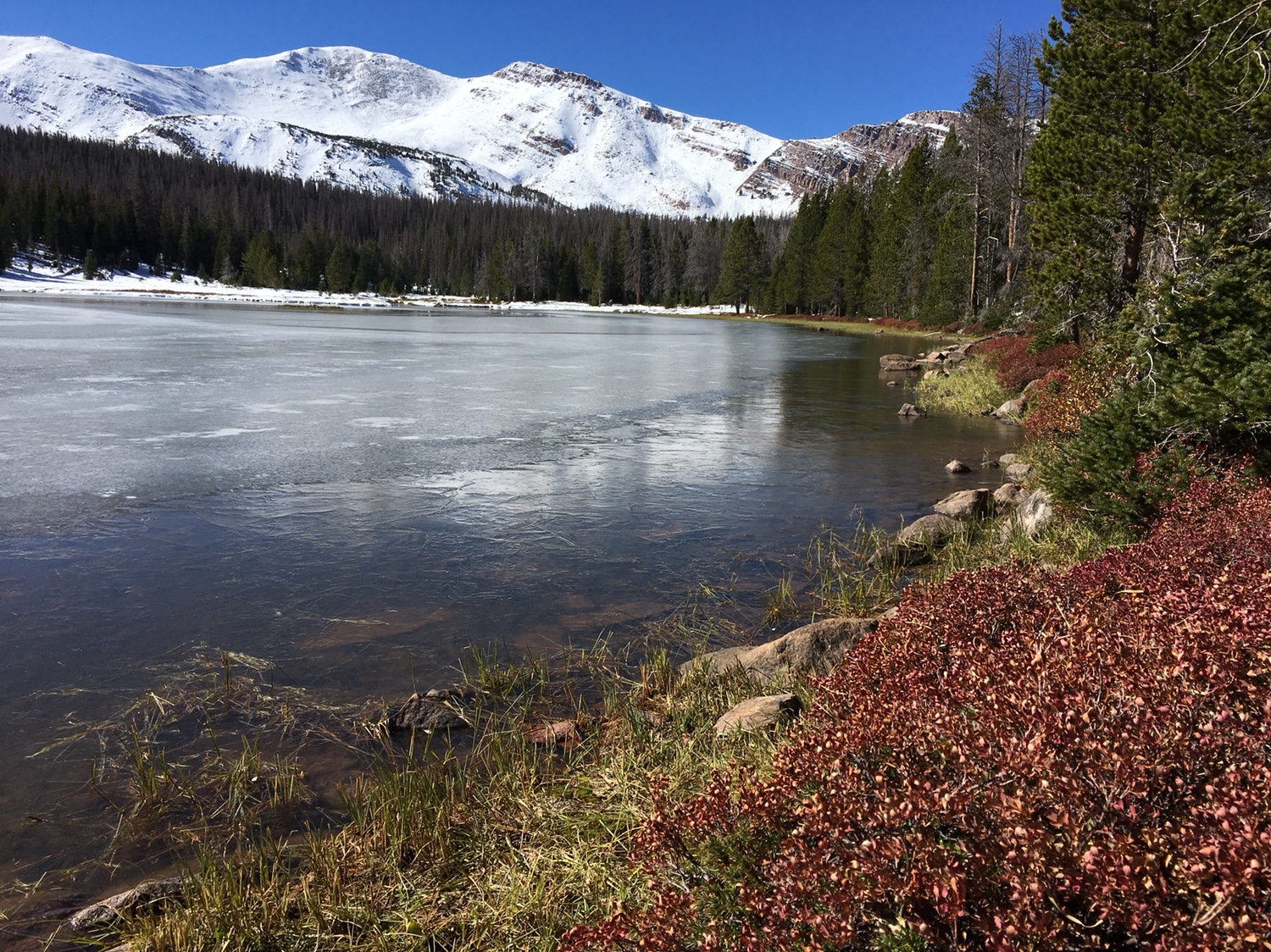
It was a beautiful day to start...
Your plans were a lot more ambitious than mine, but I was only a few miles away. Pop tarts in hand with Mt Watson behind me.
.jpg")