Jazzy Joe
Joe Roper
- Joined
- Aug 17, 2015
- Messages
- 60
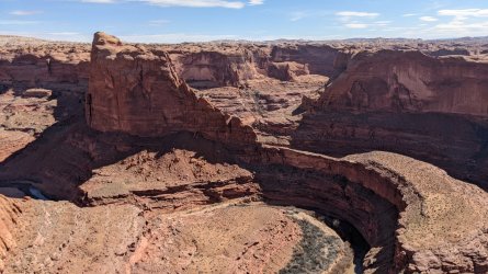
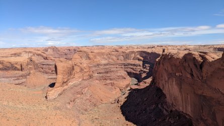
Yup you got it!Stevens Canyon?
Did Lake Powell ever rise that high? I'm not sure if thats a bath tub ring in the canyon but it kind of looks like it. All the maps show it was lower than the mouth of the canyon.

.jpeg")