Navigation
Install the app
How to install the app on iOS
Follow along with the video below to see how to install our site as a web app on your home screen.
Note: This feature may not be available in some browsers.
More options
Style variation
You are using an out of date browser. It may not display this or other websites correctly.
You should upgrade or use an alternative browser.
You should upgrade or use an alternative browser.
Guess the spot: Utah Edition
- Thread starter Ben
- Start date
John Morrow
Member
- Joined
- May 22, 2015
- Messages
- 1,119
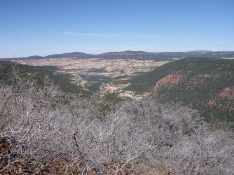
A guess as I haven't been at your vantage, but maybe the crevasse is Buckskin and the butte Steamboat with Coyote Buttes distant? I could be making it all up in my head
John Morrow
Member
- Joined
- May 22, 2015
- Messages
- 1,119
Hmm, guess I have been close:
Exiting the Middle Route, I must be below you:
 Paria Canyon-Vermillion Cliffs Wilderness, UT by John Morrow, on Flickr
Exiting the Middle Route, I must be below you:
 Paria Canyon-Vermillion Cliffs Wilderness, UT by John Morrow, on Flickr
priz1234
Member
- Joined
- Jun 10, 2020
- Messages
- 314
Yep! You got it. It is buckling gulch and steamboat in the background. And i do believe the middle route exit is fairly close to where the photo was taken.A guess as I haven't been at your vantage, but maybe the crevasse is Buckskin and the butte Steamboat with Coyote Buttes distant? I could be making it all up in my head
John Morrow
Member
- Joined
- May 22, 2015
- Messages
- 1,119
regehr
Member
- Joined
- Mar 28, 2012
- Messages
- 2,458
I don't know but the look of the terrain here is *very* similar to Cherry and Peavine Canyons as seen from the Dry Mesa RoadThis highpoint I am on (one of two) shares the same name as the canyon below:
regehr
Member
- Joined
- Mar 28, 2012
- Messages
- 2,458
John Morrow
Member
- Joined
- May 22, 2015
- Messages
- 1,119
regehr
Member
- Joined
- Mar 28, 2012
- Messages
- 2,458
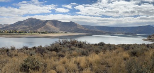
yes that was quick! you are upDeer Creek?
(Heber Valley Railroad is below, in front of the reservoir; US-189 is on the far side)
- Joined
- Jan 4, 2015
- Messages
- 2,904
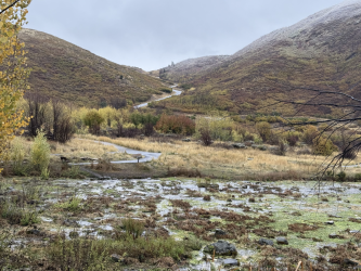
I think that's upper Garfield basin, like Tungsten/North Star Lake area yeah?
priz1234
Member
- Joined
- Jun 10, 2020
- Messages
- 314
It is not anywhere in the Garfield basinI think that's upper Garfield basin, like Tungsten/North Star Lake area yeah?
regehr
Member
- Joined
- Mar 28, 2012
- Messages
- 2,458
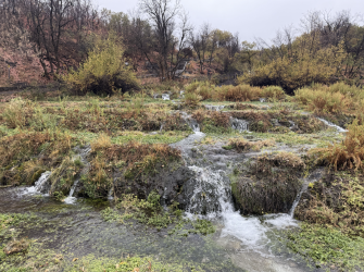
yes sir you are upCascade Springs
Don't like ads? Become a BCP Supporting Member and kiss them all goodbye. Click here for more info.


