Navigation
Install the app
How to install the app on iOS
Follow along with the video below to see how to install our site as a web app on your home screen.
Note: This feature may not be available in some browsers.
More options
Style variation
You are using an out of date browser. It may not display this or other websites correctly.
You should upgrade or use an alternative browser.
You should upgrade or use an alternative browser.
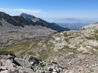
Guess the spot: Utah Edition
- Thread starter Ben
- Start date
regehr
Member
- Joined
- Mar 28, 2012
- Messages
- 2,458
correct, you're upI'm going to say Box Elder Peak.
John Morrow
Member
- Joined
- May 22, 2015
- Messages
- 1,119
Hi all,
I just looked at the aerial photo of Box Elder. Could anyone tell me about those obvious giant terraces that look too unnatural to be anything but purposely dug into the hillsides?
There's a nice looking trail traverse circumnavigation around it.
I just looked at the aerial photo of Box Elder. Could anyone tell me about those obvious giant terraces that look too unnatural to be anything but purposely dug into the hillsides?
There's a nice looking trail traverse circumnavigation around it.
regehr
Member
- Joined
- Mar 28, 2012
- Messages
- 2,458
John I don't know the specific history of these terraces but a number of peaks in the southern Wasatch Range were terraced during the CCC days, I believe as an erosion mitigation. I've never heard if this was an actually useful thing to do, or just make-work.Hi all,
I just looked at the aerial photo of Box Elder. Could anyone tell me about those obvious giant terraces that look too unnatural to be anything but purposely dug into the hillsides?
There's a nice looking trail traverse circumnavigation around it.
regehr
Member
- Joined
- Mar 28, 2012
- Messages
- 2,458
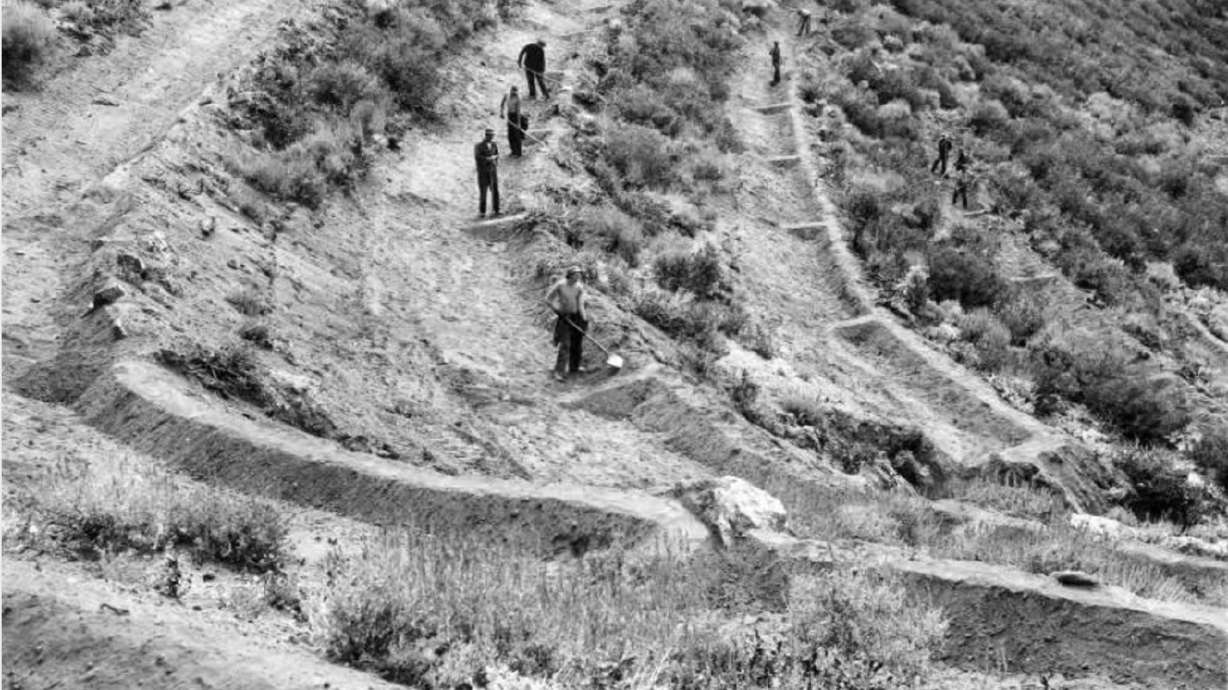
Looking back at the CCC program that helped Northern Utah avoid flooding
It’s hard not to notice the terraces across many of the mountains around Northern Utah. But what are they and how did they get there?
John Morrow
Member
- Joined
- May 22, 2015
- Messages
- 1,119
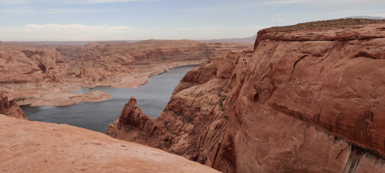
Whelp, just wasted an hour of my life on GE to no success. But I have a question....with the record low water levels, has anyone turned the point of Moqui and North Gulch on foot? Could make for a fun looking loop backpack.
- Joined
- Jul 24, 2021
- Messages
- 166
Yes, that's correct.I feel like the defining landmark that would give this away is just to the right off the edge of the photo...
It does not really line up in my head, but I will throw a guess to keep it going:
Cottonwood Canyon?
I was wondering if anyone would notice that sliver of Navajo Mountain hiding behind the rocks.
This was taken from a short hike up the rocks to the left (looking toward the lake) of the Hole in the Rock crevice.
I'm looking forward to a new @Ugly picture.
- Joined
- Apr 20, 2013
- Messages
- 1,509
I have stood right there then... It was the only one that seemed to match, but water levels threw me off into just a guess.Yes, that's correct.
I was wondering if anyone would notice that sliver of Navajo Mountain hiding behind the rocks.
This was taken from a short hike up the rocks to the left (looking toward the lake) of the Hole in the Rock crevice.
I'm looking forward to a new @Ugly picture.
- Joined
- May 31, 2015
- Messages
- 3,329
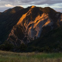
Y Mountain from Squaw Peak?Alright, I had a desert pic in mind, but maybe it is too easy.
So let's switch gears.
View attachment 113108
- Joined
- Apr 20, 2013
- Messages
- 1,509
Y it is.Y Mountain from Squaw Peak?
From Buffalo, but basically no difference
- Joined
- Apr 20, 2013
- Messages
- 1,509
What if I can, but might not be online most of the weekend?
You look a Little Wet, as opposed to Desolate... but I might be slightly off if the peak is named only by elevation.
That is a pleasant area for snowshoeing. I have spent many snowshoes near/along those ridges.
You look a Little Wet, as opposed to Desolate... but I might be slightly off if the peak is named only by elevation.
That is a pleasant area for snowshoeing. I have spent many snowshoes near/along those ridges.
Don't like ads? Become a BCP Supporting Member and kiss them all goodbye. Click here for more info.

