Guess the spot: Utah Edition

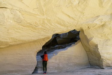
I'mma say if they're not named on the USGS map (as opposed to, say, a Kelsey or Allen book?), they're not named. But, let's guess Horsethief Trail? And if that's correct, did you see the petroglyphs on the boulder to the west?
A stickler about naming, eh???
Yes, Horsethief Trail and (a bit above it) Acer's Arch. We did not see any petroglyphs-- we didn't arrive from the west, but rather came up from the south (along the edge of the reef from the area directly above Sheep Cave / Arch Tower Canyons) because I wanted to see if that route would work.
You are up, sir.
 
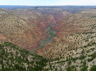
looks like maybe a tributary of Nine Mile.... obviously there's a road in it... I'll go Argyle!
 
I'm just gonna give this one away to keep the thread moving. There aren't many tributaries to Nine Mile this big with a road through the bottom so I figured a quick look at a map and somebody would get it, even if they haven't been there in person. It's Dry Canyon, taken from Flat Iron Mesa. The named feature on the map in one of my hints is the Mummy. Anyone who wants to post another one, go for it! :)
 
Hint #2 (because I'm leaving soon and won't have the Internet):

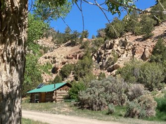
It's very close to the last spot.
 
I rented the cabin for one night. No water, trash, electricity or bathroom. Bring your own bedding, and the bedsprings are shot. Just like when Al had it, except for the solar lights. His picture's on the wall.

IMG_0436.jpg
 
Last edited:
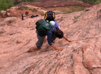
Yes @priz1234 after dropping a shuttle car at the trailhead for the Crack it's Jacob Hamlin Arch where we descended.
You are up!
It's pretty steep but i went down, up, and down again without the rope just to figure out whether this is possible.
Several years before when we did a dayhike via the Crack to JH-Arch and back by ourselves, i didn't dare to climb up.
I certainly wouldn't recommend the option without rope for the average hiker though!
 

Don't like ads? Become a BCP Supporting Member and kiss them all goodbye. Click here for more info.

Back
Top