- Joined
- May 31, 2015
- Messages
- 3,327
Not the Wilhite Trail. Very close to there though.Whillite Trail?
Follow along with the video below to see how to install our site as a web app on your home screen.
Note: This feature may not be available in some browsers.
Not the Wilhite Trail. Very close to there though.Whillite Trail?
Go north a tad. Definitely has a trail. A bit rocky/bouldery in placesJeez, try Murphy Trail then? Just doesn't seem right though. Too deep a cove. Not Taylor....so must be trailless if not Murphy.
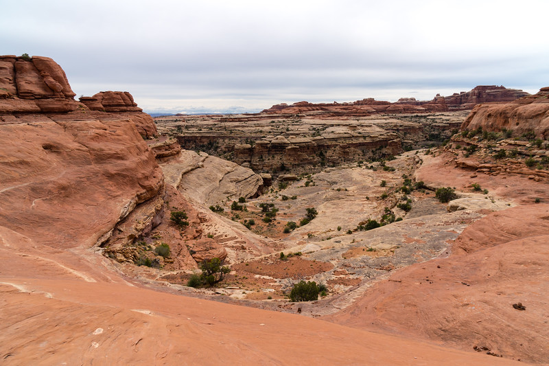
Yep! Upheaval Canyon is the canyon in the distance on the right. Picture is taken from the climb out of the north side of the Syncline valley.Upheaval Canyon
Dang, how did I not see that? I assumed both upheaval trails would have some cap of Navajo on the top of adjacent walls....Upheaval Canyon
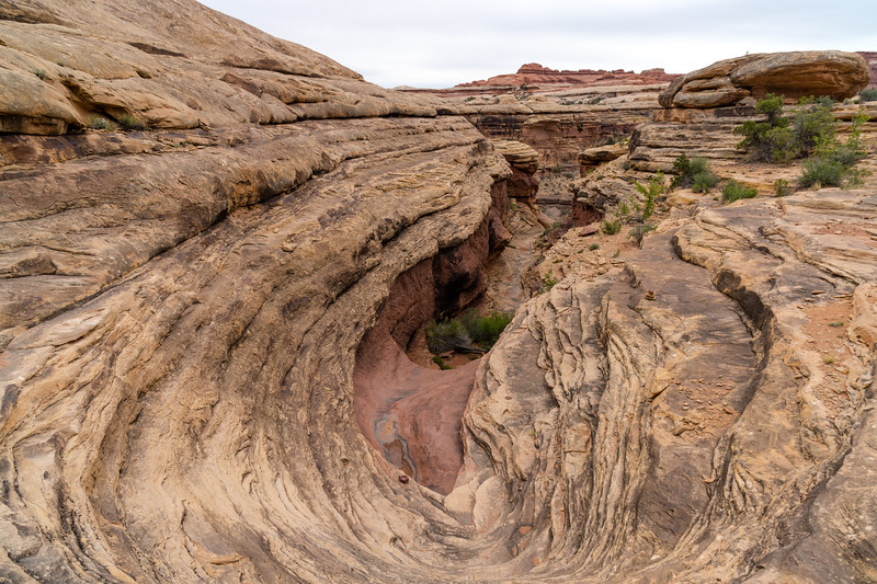
At first glance it reminds me of something on the Squaw-Big Springs loop at Needles, but not exactly. That was 15 years ago so my memory could well be off, but I'll throw it out here anyway.Name the canyon (Properly speaking, this is the ascent out of the canyon proper to go to the next one over).

At first glance it reminds me of something on the Squaw-Big Springs loop at Needles, but not exactly. That was 15 years ago so my memory could well be off, but I'll throw it out here anyway.

99.999999999% sure you are right, UtahBrian (I seem to forget how to create hotlink usernames)! That was a toughy, and really interesting. I'll yieldWater Canyon? (/ Shot)

Squash patch ruin, salt creek!Shot and Water are lovely canyons. When I was there, it was a late summer rainstorm and all the side washes and waterfalls were wet and running. I had a little shower on the trail down to the river and felt refreshed for more hiking.
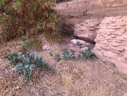
Okay. Let's try one that's blatantly easy if you recognize the details.View attachment 89240
Squash patch ruin, salt creek!
Don't like ads? Become a BCP Supporting Member and kiss them all goodbye. Click here for more info.
