Navigation
Install the app
How to install the app on iOS
Follow along with the video below to see how to install our site as a web app on your home screen.
Note: This feature may not be available in some browsers.
More options
Style variation
You are using an out of date browser. It may not display this or other websites correctly.
You should upgrade or use an alternative browser.
You should upgrade or use an alternative browser.
Guess the spot: Utah Edition
- Thread starter Ben
- Start date
John Morrow
Member
- Joined
- May 22, 2015
- Messages
- 1,119
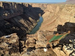
San Juan River west of the Goosenecks with Cedar Mesa Rim (Muley or Cedar Point perhaps) upper right? Honaker Trail perhaps?
San Juan River west of the Goosenecks with Cedar Mesa Rim (Muley or Cedar Point perhaps) upper right? Honaker Trail perhaps?
I have to forfeit my place here. I thought I was on Guess the Spot US thread, not Guess the Spot Utah thread. My bad! This is the Colorado near Lees Ferry (that's Tenmile Rock visible in the photo). Sorry team. I'll give this one to @John Morrow for making a guess.
John Morrow
Member
- Joined
- May 22, 2015
- Messages
- 1,119
John Morrow
Member
- Joined
- May 22, 2015
- Messages
- 1,119
I gotta start making these a bit harder!!!!! Doing a two night loop with Squirrel and Water and out to Canaan summit, I was surprisingly impressed with the beauty of this wilderness. I will return. Perhaps from the Eagle Crags side.water!
regehr
Member
- Joined
- Mar 28, 2012
- Messages
- 2,454
regehr
Member
- Joined
- Mar 28, 2012
- Messages
- 2,454
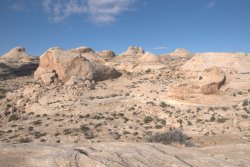
This dome zone is not in the Robbers Roost areaClimbing out of No Man’s Canyon?
John Morrow
Member
- Joined
- May 22, 2015
- Messages
- 1,119
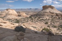
On top of the reef between Cottonwood Canyon and the trail that ascends from the river near the airstrip, can't remember the name?
John Morrow
Member
- Joined
- May 22, 2015
- Messages
- 1,119
got it! and I think you mean the Horsethief Trail?
this super nice hike is great if you have a half-day to kill between SLC and points further southeast, it's covered in both the old and new Steve Allen books about the swell
Did you come up the Horsethief Trail or from the bottom of the Reef (east side)?
regehr
Member
- Joined
- Mar 28, 2012
- Messages
- 2,454
I've been up in this part of the reef a couple of times starting from 39.022001°, -110.396987°. It's impressively rugged up there -- both times we got a bit lost in the maze of domes and canyons.Did you come up the Horsethief Trail or from the bottom of the Reef (east side)?
I've wanted to head up the Horsethief Trail forever, but have not managed yet!
I keep wanting to try to put together a north-south oriented route up on the western edge of the reef, for example between Pinnacle Canyon and overlooking the Lower Black Box. Not sure if this can be made to work, the Google Earth view of these navajo dome zones hides so much.
John Morrow
Member
- Joined
- May 22, 2015
- Messages
- 1,119
John Morrow
Member
- Joined
- May 22, 2015
- Messages
- 1,119
OK, 1st hint. This drainage is technical 1/4 mi upstream of my location. One can consider the pictograph panels down canyon of me as Cave Valley Style. Likely, if you got to my position you have got wet feet.
John Morrow
Member
- Joined
- May 22, 2015
- Messages
- 1,119
More hints?
zionsky
Member
- Joined
- Dec 23, 2018
- Messages
- 765
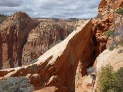
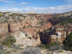
I was thinking the same thing but the peaks in the background were not registeringLooks a lot like the Zion area, but I'm so far out of my league on most of the Colorado Plateau posts in this thread now that, as always, I have absolutely no idea on a specific guess.
- Joined
- May 31, 2015
- Messages
- 3,329
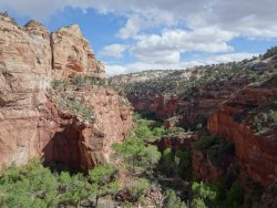
Yeah, they also kind of remind me of the area between Boulder and Escalante, but again, I've only been in a small portion of that area. And the red sandstone down lower throws me. Maybe something near Deer Creek?I was thinking the same thing but the peaks in the background were not registering
Don't like ads? Become a BCP Supporting Member and kiss them all goodbye. Click here for more info.

