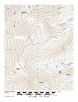
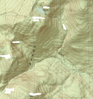
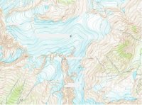
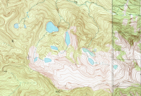
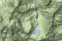
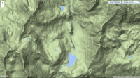
Let's see, there's a basin with about seven lakes, just below a divide that looks kind of high.... Looks like a great place to have lunch at! And since it's an Olympic year, let's just guess and say: Seven Lakes Basin, High Divide, Mt. Bogachiel at bottom center. (Olympic National Park)
Yeah, that obviously wasn't a guess. I've looked at maps of that area probably hundreds of times. Now I just need to get back up there when it isn't socked in by clouds. The only time I went there, visibility was about 60-80 meters at Hoh Lake (at the bottom of the cloud line), and probably only 40 feet or less up on the divide. Couldn't see a dang thing. But it was still awesome, fog & mist in those big beautiful old trees.

