- Joined
- Mar 20, 2012
- Messages
- 43
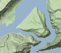
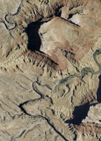
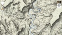
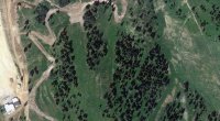
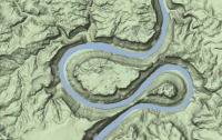
I thought it might be fun to do a Guess the spot thread but instead of posting photos, you post a screen shot from a map. Terrain View, Satellite View or Topo View. Feel free to blur/erase any names if they give too much info.
The BCP maps page is great at getting topo layers, sat and terrain. Check it out here: http://backcountrypost.com/map/
I'll kick it off with this one. Name the prominent feature, not just the river.
The BCP maps page is great at getting topo layers, sat and terrain. Check it out here: http://backcountrypost.com/map/
I'll kick it off with this one. Name the prominent feature, not just the river.


