- Joined
- May 31, 2015
- Messages
- 3,331
I took @Nick's subtle hint and decided to make this thread. The problem is that I personally have not seen the Uintas since last November, so I am not very aware of their conditions. So anyone who has recently been in the area, feel free to share your knowledge with regard to snow depth, road conditions, etc. with us.
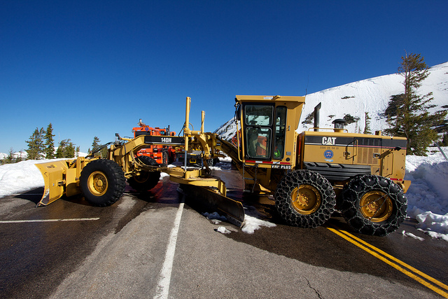
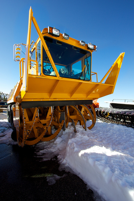
Here's my contribution. Conclusion: they are still pretty snowy from winter.

Here's my contribution. Conclusion: they are still pretty snowy from winter.


.jpg")


