Q-see
I like hiking cows
- Joined
- Dec 18, 2012
- Messages
- 85
Once we were in the Valais anyway, we thought we could take the chance to see the Matterhorn.
It's such a famous mountain but it wasn't on our list before.
View larger map.
The campground in Täsch was only half full when we arrived around noon so it was easy to find a place to stay.
This changed a lot during the next hours. In the evening, it was bursting with campers and tents.
I was surprised that so many Spaniards were there.
Täsch is the last village before Zermatt, all tourists have to park there and take the train to Zermatt which is car free.
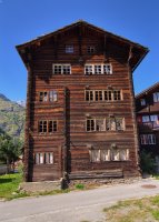
That day, we just walked around to see the village where we found this traditional valaisian house.
The next day, we took the train to Zermatt and then the funicular to Trockener Steg where the glacier trail starts.
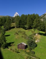
The glacier trail leads close by the Furgg glacier which is hiding behind the left border of this picture.
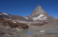
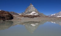
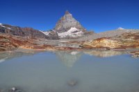
As you walk towards the Matterhorn, the trail offers many different forgrounds like this lake...
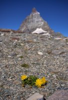
...or a dandelion...
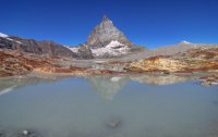
... another lake with some ferrous rock...
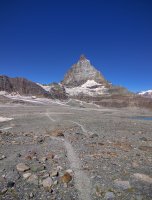
... the trail itself...
... another lake...
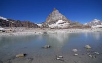
I was surprised that it was still slightly frozen.
Here a panorama shot

At some point, the glacier is just besides the trail, so I had to have a closer look.
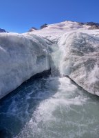
While we had nice temperatures, it seemed to be a bit windy on top of the mountain.
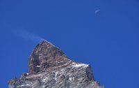
We almost reached the end of the trail...
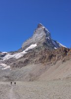
We finished the trail quick enough, so we had enough time to go up to the Hörnlihütte. From that point, it's only approx. 3 or 4km but 500m height.
The first part up to the ridge is partly equipped with grating floor and stairways.
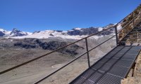
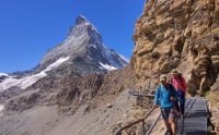
Once on the ridge, it was an easy trail...
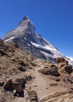
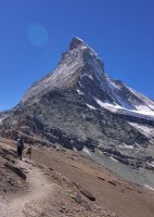
... until it steepened again...
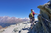
Almost there...
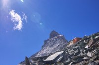
When we finally reached the hut, we had lunch and we enjoyed the best Rösti (hash browns) we've ever had. Maybe it just was that good because we were so tired and hungry? ;-)
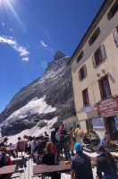
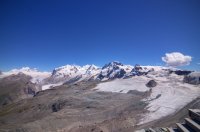
We then forgot the time and suddenly, we realized that we have to hurry to reach the chairlift before its last run.
Missing the chairlift would stretch our way home by another 4km so we went off quick.
It was good to do so because we arrived just in time. A few minutes later and we would have been walking another hour.
Walking through Zermatt was funny, we watched the people passing by, a mix of upper class tourists, asians and alpine mounaineers.
Featured image for home page:
It's such a famous mountain but it wasn't on our list before.
View larger map.
The campground in Täsch was only half full when we arrived around noon so it was easy to find a place to stay.
This changed a lot during the next hours. In the evening, it was bursting with campers and tents.
I was surprised that so many Spaniards were there.
Täsch is the last village before Zermatt, all tourists have to park there and take the train to Zermatt which is car free.
That day, we just walked around to see the village where we found this traditional valaisian house.

The next day, we took the train to Zermatt and then the funicular to Trockener Steg where the glacier trail starts.

The glacier trail leads close by the Furgg glacier which is hiding behind the left border of this picture.

As you walk towards the Matterhorn, the trail offers many different forgrounds like this lake...

...or a dandelion...

... another lake with some ferrous rock...

... the trail itself...

... another lake...

I was surprised that it was still slightly frozen.
Here a panorama shot

At some point, the glacier is just besides the trail, so I had to have a closer look.

While we had nice temperatures, it seemed to be a bit windy on top of the mountain.

We almost reached the end of the trail...

We finished the trail quick enough, so we had enough time to go up to the Hörnlihütte. From that point, it's only approx. 3 or 4km but 500m height.
The first part up to the ridge is partly equipped with grating floor and stairways.


Once on the ridge, it was an easy trail...


... until it steepened again...

Almost there...

When we finally reached the hut, we had lunch and we enjoyed the best Rösti (hash browns) we've ever had. Maybe it just was that good because we were so tired and hungry? ;-)


We then forgot the time and suddenly, we realized that we have to hurry to reach the chairlift before its last run.
Missing the chairlift would stretch our way home by another 4km so we went off quick.
It was good to do so because we arrived just in time. A few minutes later and we would have been walking another hour.
Walking through Zermatt was funny, we watched the people passing by, a mix of upper class tourists, asians and alpine mounaineers.
Featured image for home page:

