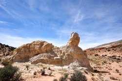
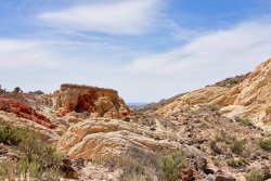
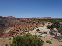
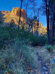
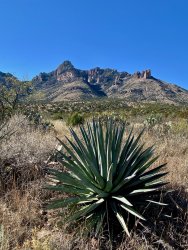
Guess the spot

Big horn canyon?
Kinda looks like it but there are no J-trees in the CO plateau at that altitude. It's the trees throwing me. It has to be far SW lower corner of UT. Oh wait, is this not the UT edition of Guess the Spot? I've been thinking it was. That opens up all of SE NV now. Jeez, the terrain is so flat...Kaolin or Fire Canyon Wash?
 
Sorry everybody, maybe a little too obscure? The canyon is known as Amber Cat Canyon, at least unofficially.


View attachment 86727
Learned about it here https://www.birdandhike.com/Hike/GoldButte/DoodlebugLoop/_DoodlebugLoop.htm and several other places.
Great hike with a tremendous variety of scenery and terrain. Guess @John Morrow should be up


View attachment 86728

Just downloaded it. Forgot about that website. Yah, the "Amber Cat canyon' nickname isn't on any map I looked at ;).
Looks like a great area- it's been on our list for a while!

@John Morrow - looking forward to your photo.
 
Do I actually see Ponderosa Pines, a type of tall fir, and yucca at the same location?

It's a super biodiverse area. Figured that would catch your eye.
Definitely pine trees, pinon pines, a unique kind of pine tree, but also junipers, cypress, yucca, agave, etc.

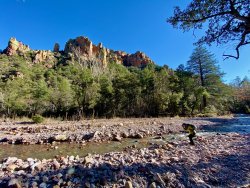
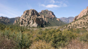
Just northeast of the previous photos it looks like this:
IMG_6067.jpeg
 
Last edited:
Could this be maybe in the Chiricahua Mountains area there in Southeast Arizona. Now was there some years ago and loved it there.

Now the Chiricahuas are definitely a very diverse area. It is great for birdwatching. I saw the Trogans there when I visited. There are also Apache Pines in the area plus a wide assortment of plants since so far south but also rising up to some high elevations. Engelmann Spruce occurs in the Chiricahuas also.

@Kmatjhwy - indeed it is! You are up :)
Sorry @Udink !

Photo was of the South Fork of "Cave Creek" & Town close by is Portal in Arizona.
We usually only go to the Chiricahua Nat. Monument, but this year we saw the east side too. Interesting area, we will be back.
 
Similar threads
Thread starter Title Forum Replies Date
Outdoor_Fool The value of the various Guess the Spot threads General Discussion 6
wsp_scott NYTimes article: Guess the spot saves someone's life General Discussion 1
C Guess the Spot: somewhere in Southern Utah General Discussion 4
JDWalters Guess the Spot: Eastern US Edition General Discussion 515
LarryBoy Guess the Spot: Trip Reports Edition Hiking & Camping 5
balzaccom Guess the Spot--DIY version General Discussion 33
Ben Guess the spot: Utah Edition General Discussion 6324
Artemus Guess the Spot: International Edition General Discussion 283
Jammer Guess the Spot (not where you think) General Discussion 10
Backcountry Post Guess the spot: Maps Edition General Discussion 4670
Perry Can You Guess Where The Uintas Are? General Discussion 5
J Identify the spot Utah: I don't know where it is General Discussion 2
Happyidiot Looking for camping spot close to Denver. General Discussion 2
Jammer Havasu Falls Extra Spot General Discussion 3
Nick Spot X Gear 27
SKLund Sticking with SPOT Gear 0
Ross Unofficial Where’s The Spot General Discussion 0
Perry Good Deal on a Spot Gen 3 Gear 5
Jammer Spot/InReach for May? Trip Planning 7
Bridgette Good camping spot in the Uintas with 4WD Trip Planning 0
jonmessina Spot Tracker Rental? Trip Planning 1
uintahiker The bloodiest spot in Arizona Hiking & Camping 0
Jammer InReach vs Spot Messenger 2013 Gear 32
wnorton Do you use Spot Connect or DeLorme InReach? Gear 6
Nurrgle Good car camping spot in the Uintas General Discussion 9
Nick SPOT Connect Gear 2

Similar threads

Back
Top