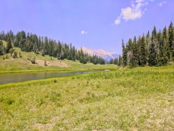
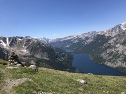
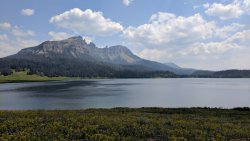
Guess the spot

Titans, I personally wondered if that was Cave Creek. It was up Cave Creek that I saw the Trogans many years ago. Now that one photo of the area with the flowing creek made me think it could have been Cave Creek. But I knew it was the Chiricahuas which is such a nice nice area. Great Photos!

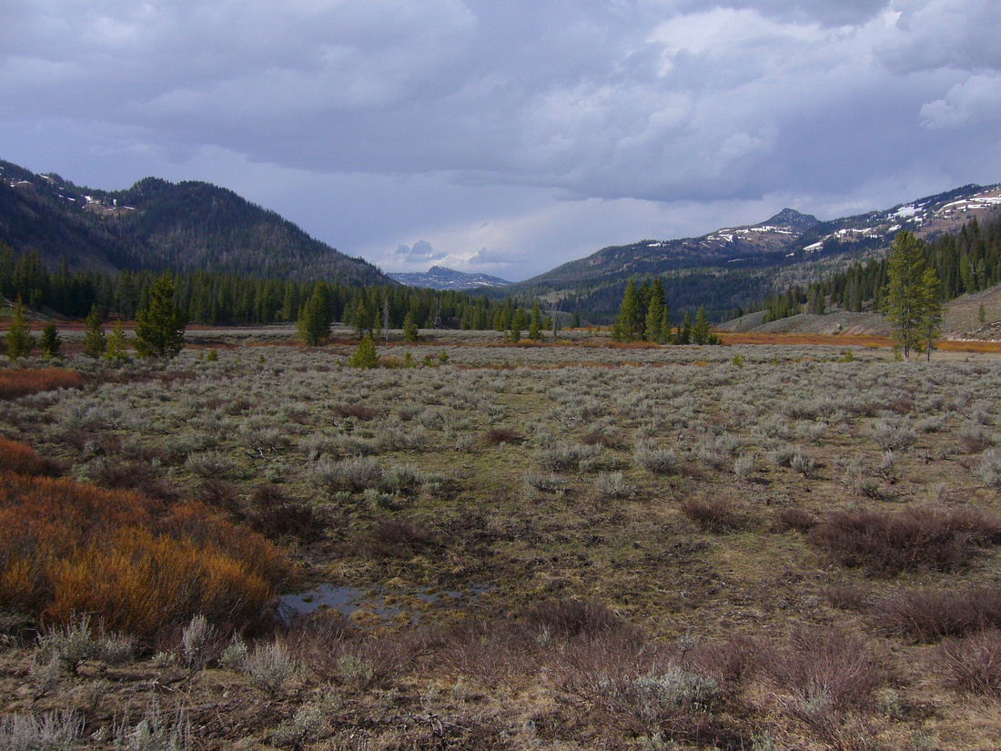
Now here is the next one .... It is entitled: " Springtime In the Rockies".
p541087864-5.jpg


Now to add for the above photo ... I have spent many a spring in this area when the snow was melting and it was all starting to green up. i have seen about everything in this area including both wolves and grizzlies. Hint! In fact some of my most closest grizzly bear encounters has occurred in this area. Also this area is a easy hike in from the nearest trailhead and is a doorstep to many many acres of wonderful wild country nearby.
 
Last edited:
I actually accidentally posted twice. But will say this on the above shot of the area. It is a wonderful area to go back into during the spring before anyone else is in the area. Here one can wander and be in this area and just enjoy these wilds and enjoy it all. Again I have seen and had many close encounters to both wolves and grizzlies in this area. In fact, one spring I came across a wolf densite not far from where this photo was taken. Another Hint. Enjoy!
 
Last edited:
Not that I've been there, but I know one of your favorite spots to go in spring if conditions are right is Soda Fork Meadows. So that's my guess. Definitely has a southern Absarokas look to it!
 
  • Like
Reactions: Ben
Jackson, Now you got it and you are up next. Go For It! Yes you are right that I love it here in these meadows in the springtime.

Yes this is in the Soda Fork Meadows one spring in May looking up towards the north thru the meadows. Near here were some of my most closest grizzly Bear encounters and a one spring came upon a Wolf densite in the trees on the edge of the meadow.
 
Last edited:
I can't imagine coming across a wolf den! Wow! Can't wait to get back up there this summer.


Here's the next one. I'll take the lake's name or, for bonus points, the peak in the background.
35733640694_1c84f50542_k.jpg
 
This one is kinda obscure, so I'll give some specifics. This is in southwest Montana.
 
Another hint. Trying to get creative without giving it up. The mountain range this lake is in was named after a river which was named after an early US president by Meriwether Lewis. (the namesake was actually secretary of state at the time Lewis named the river)
 
So somewhere in the Madison range. I was going to guess Elk Lake, but that would be the Gravelly range. :thinking:
 
So somewhere in the Madison range. I was going to guess Elk Lake, but that would be the Gravelly range. :thinking:
Yep, that's the range.

Next very specific hint is that the closest trailhead (to my knowledge) is at Potamogeton Park.
 
Well I do know that's the trailhead to Hilgard Basin, but I still can't figure out what lake that would be...
 
Haha you should take it because I'm not sure now whether anyone other than you and @Outdoor_Fool would have gotten this one. The lake is named Lightning Lake, and the peak is Woodward Mountain. There's three trails that head out from Potamogeton, one goes to Hilgard, one heads east to Wapiti Ridge, and one goes north to Lightning Divide/Lightning Lake. I need to get back up there again soon. Love that range!
 
Last edited:
I have wanted to go back to Hilgard Basin ever since the last time I was there and turned back just short of Echo Peak. Awesome area, i'll have to check out that Lightning Lake area sometime, too! Didn't mean to highjack your turn. :)
 
I have wanted to go back to Hilgard Basin ever since the last time I was there and turned back just short of Echo Peak. Awesome area, i'll have to check out that Lightning Lake area sometime, too! Didn't mean to highjack your turn. :)
You could probably make a loop out of Lightning Lake and Hilgard, really. Go up to Lightning Lake, go a little farther north, head up Alp Creek to Alp Lake, then go over the saddle to the south into Hilgard Basin. I actually started out on a trip with that route, but due to health issues with my backpacking partner, we had to turn around after only a quarter mile.
 
You could probably make a loop out of Lightning Lake and Hilgard, really. Go up to Lightning Lake, go a little farther north, head up Alp Creek to Alp Lake, then go over the saddle to the south into Hilgard Basin. I actually started out on a trip with that route, but due to health issues with my backpacking partner, we had to turn around after only a quarter mile.

That looks like a really cool route. Could probably bag Imp or Sentinel peaks in the process.
 

Don't like ads? Become a BCP Supporting Member and kiss them all goodbye. Click here for more info.

Back
Top