Guess the spot

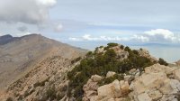
I've looked at that photo a number of times, but the general area I know it to be within (based on terrain / biome appearance) is still too vast for me to make a WAG, and honestly, when I do backpack out west I generally don't go to those regions. (The first thought that popped into my head was somewhere near Engineer Mountain off the Colorado Trail, but the mountain in your photo doesn't have enough vertical to be there.) I am following this thread for others' guesses though. I haven't hiked these areas enough to venture a decent guess.
 
Not the high point, but close enough for me! It was the lower peak on the Southern end.

Ah, makes sense that I recognized it since I've been to that lower peak (years ago) but not the high point itself.

It'll take me a bit to dig up a good one.
 
The top of the San Rafael Reef above Mexican Bend - a constructed trail - I think called Horsethief?
 
The top of the San Rafael Reef above Mexican Bend - a constructed trail - I think called Horsethief?

Not exactly the top of that trail, but close enough! I think that's a bit of Mexican Mountain at the left and then you can see the big fin dividing Spring and Nate Canyons in the shadows just to the right of the center of the pano. You are up sir.
 
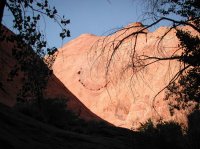
Red rock desert walls bring happiness. Even the walls are happy.

I recognize this one might be tough - unless you've seen it, and I know some of you have walked past it. HINT: southern Utah.
 
Well that one didn't get much activity. It is Davis Gulch - downstream of the narrows off the HIOR road.
 
Last edited:
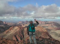
This one should be significantly easier although there are still no lakes in view. Name the range or the peak I am standing on.
export-1-5.jpg
 
City of Rocks?


Gesendet via iPhone 6S mit TapaTalk
 
Back
Top