Navigation
Install the app
How to install the app on iOS
Follow along with the video below to see how to install our site as a web app on your home screen.
Note: This feature may not be available in some browsers.
More options
Style variation
You are using an out of date browser. It may not display this or other websites correctly.
You should upgrade or use an alternative browser.
You should upgrade or use an alternative browser.
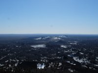
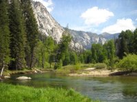
Guess the spot
- Thread starter Backcountry Post
- Start date
Noun Sequitur
My Feet Hurt
- Joined
- Oct 24, 2012
- Messages
- 361
One of the Sisters in Oregon?
Joey
walking somewhere
- Joined
- Apr 1, 2014
- Messages
- 878
That's the best I got..........I will give some clues. This is a backpacking route in one of the first National Parks. The park was originally named after a civil war general.Hmmm.... Can we get a higher rez image Joey?
Joey
walking somewhere
- Joined
- Apr 1, 2014
- Messages
- 878
Don't like ads? Become a BCP Supporting Member and kiss them all goodbye. Click here for more info.


