Guess the spot: Utah Edition

You got it!
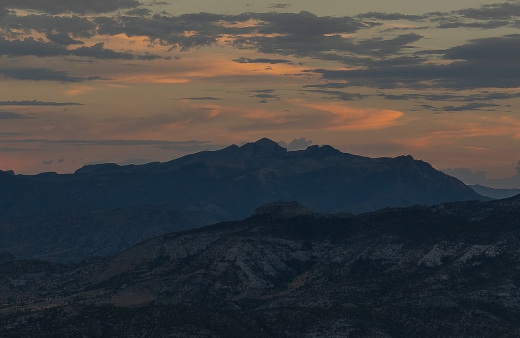
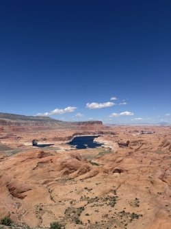
I was wondering if anyone had been here. I couldn't find any photos from up there in my research prior to my trip. My suspicions, however, that this would be a beautiful view were not wrong. The whole landscape up there is pristine and untouched and covered in stones eroded in an identical fashion to the larger landscape as a whole (little crescents and arches). Bit of a slog through miles of blackbrush and rabbitbrush to get here but not a bad spot to pitch a tent.;)
Allow me to post a two more photos its too pretty!
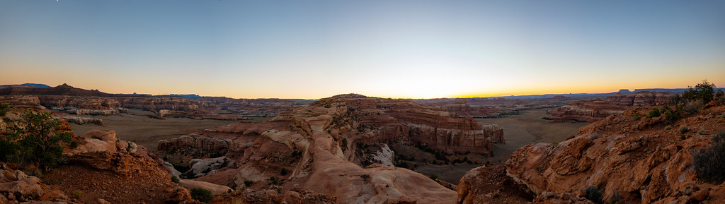
DSC09451-Pano by Backcountry Photo, on Flickr
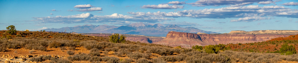
DSC09382-Pano by Backcountry Photo, on Flickr

Alright the floor is yours John!
 
You got it!
I was wondering if anyone had been here. I couldn't find any photos from up there in my research prior to my trip. My suspicions, however, that this would be a beautiful view were not wrong. The whole landscape up there is pristine and untouched and covered in stones eroded in an identical fashion to the larger landscape as a whole (little crescents and arches). Bit of a slog through miles of blackbrush and rabbitbrush to get here but not a bad spot to pitch a tent.;)
Allow me to post a two more photos its too pretty!


Alright the floor is yours John!
OK, this ought to go quick. Where am I?
guess the location.jpg
 
Well, I am not sure that will ever have that much water again, it looked like the dam was breached on purpose.
It's cool it is so full.

This was last month:
View attachment 152692
Yeah my photo was 2019. I noticed the lower water level in more recent satellite imagery and didn't realize the dam was breached!

All yours if you wanna take it!
 
Ok welp... This is a shot of Notch peak taken from Swasey peak...whoever wants it it's up for grabs...
Thanks for posting, I knew I didn't know that one. I was hoping one of our peakbaggers would have chimed in. Sometimes a hint or two is necessary. I know, at least for me, some people are running out of new spots to suggest so they are less active in the guessing. Looks like a nice spot., I haven't been over there.
 
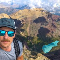
Ok, I’ll throw one in. Where was this photo taken from the top of?

View attachment 153313

Well, at first I thought this couldn't be UT because I mistakenly believed that the lake was the state boundary. Indeed, UT. The boundary is a lat line to the south. Being on the rez, I'm sure it is less traveled. It must be an incredible place though. I've never been south of the lake.
All that said, it came down to a Google Earth exercise. Uniform width stretch of lake, big rightward meander, Straight Cliffs with a outcrop of carmel/entrada below (not certain that's correct rock ID). Ellsworth, et al, in the far distance. That puts the view NE.
To my surprise, I think it is one of the few labeled features in that general area on GE!
Anybody?
 
Last edited:
Dougi Butte I believe.
 
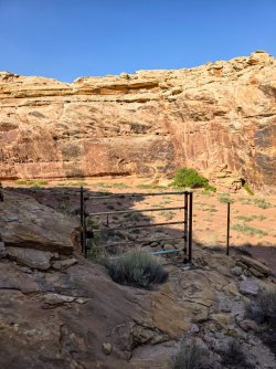
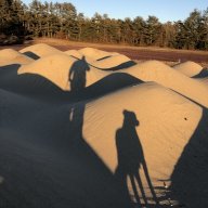
Where is this nicely constructed cattle trail located?

20260503_173227.jpg
 
Back
Top