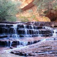
Guess the spot: Utah Edition

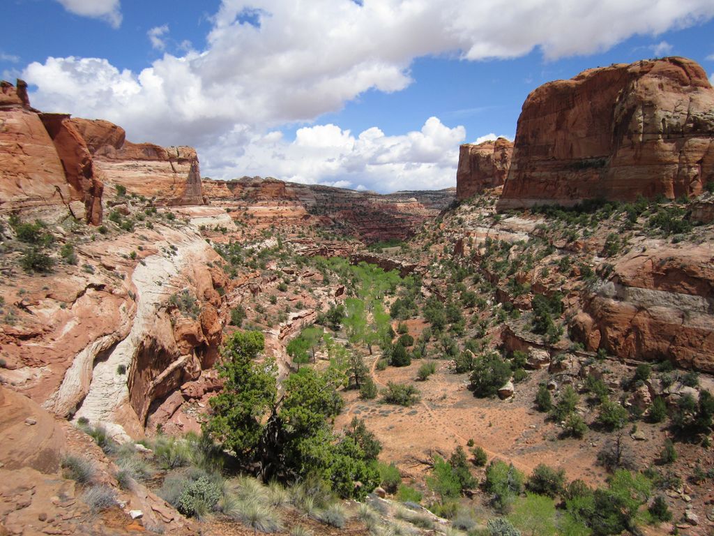
I'm not able to 100% line it up but are you near towhead peak with Mt Pleasant and Fairview down in the valley?
That's precisely it! I hiked up the South Fork of Lake Canyon to Skyline Drive, then went from Towhead east down the ridge and back into the canyon.
 
20260524_105537-X3.jpg
 
I think I know where you are headed. Here's a shot a bit lower down on the exit of that canyon. The low red/white/red band wall on right.

Looking closely at your pic I can see Phipps Arch though no light shines through at that angle and distance.
Yep that is it
 
That's so funny, I can get the occassional esotheric GTS Utah Ed. but got VoF wrong! I meant to write 100 miles not 1....but of course. Not.
 
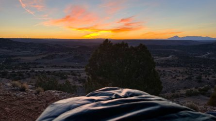
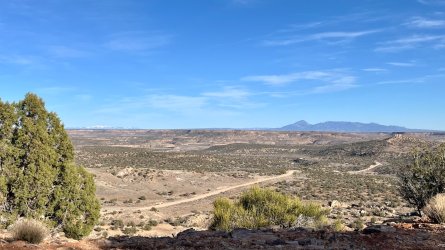
Perkins road with Ute Mountain in the distance?
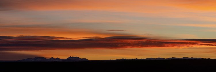
What would you call the snowy CO mountains northeast of Ute in the far distance? It takes a clear day like that to see them so clearly. Is it Wilson group or maybe the Sneffels Range? (is there a Sneffels Range?) I like the sound of it.
 
What would you call the snowy CO mountains northeast of Ute in the far distance? It takes a clear day like that to see them so clearly. Is it Wilson group or maybe the Sneffels Range? (is there a Sneffels Range?) I like the sound of it.

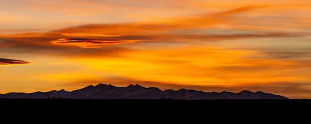
@John Morrow - haven't checked the name yet, but Rick took a couple of panoramas towards those mountains (from another campsite), if that helps. These sunrise photos were taken close to the border of UT/CO.

_VWI2272-Pano_Original (1).JPG


_VWI2281-Pano_Original.JPG

Sorry @priz1234 - we are getting side tracked :)
 
Back
Top