Guess the spot: Utah Edition

Titans - thank you - have hiked along the creek also. Curious about a way down from the top of Waterpocket Canyon to the creek - would be a nice loop going up the slickrock expanse N of the creek and then down S to the creek - tried but got cliffed out at the top
Also curious about that, after seeing the Slickrock Expanse report a while back and looking on Google Earth. There does seem to be potential route.
 
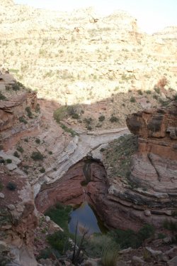
Well actually @Titans I was talking about the second photo, with the nice red walls, thinking that maybe you were trying to trick us!
Another guess might be Muddy Creek.

I'm so sorry! That did cross my mind posting another Pleasant creek photo from further upstream, but I picked a different area :) Not Muddy Creek.

Hint, red wall photo: it was pretty noisy in that general area and it attracts a variety of people with different hobbies.
 
I'm so sorry! That did cross my mind posting another Pleasant creek photo from further upstream, but I picked a different area :) Not Muddy Creek.

Hint, red wall photo: it was pretty noisy in that general area and it attracts a variety of people with different hobbies.
Hmm, the hint makes me think Moab, but I can't place it
 
Hmm, the hint makes me think Moab, but I can't place it

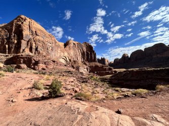
It's correct John, it's in the Moab area, well known road and creek. In the photo below we are standing on a challenging famous Jeep 4WDR Road (also saw lots of Mountain Bikers), climbers were in the distance, we were visiting some POI up along the red walls. The road we parked on is to the right along the cliff wall in the shade.

@SteveR - not Mill Creek.

Guess 2b-IMG_3089.jpg
 
Kane?
 
Not sure, but could it be the giant pour off in Slickhorn, first fork, close to the bypass?
 
Back
Top