Navigation
Install the app
How to install the app on iOS
Follow along with the video below to see how to install our site as a web app on your home screen.
Note: This feature may not be available in some browsers.
More options
Style variation
You are using an out of date browser. It may not display this or other websites correctly.
You should upgrade or use an alternative browser.
You should upgrade or use an alternative browser.
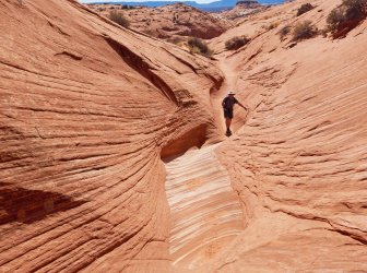
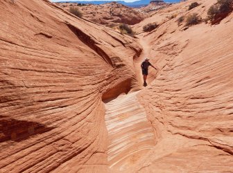
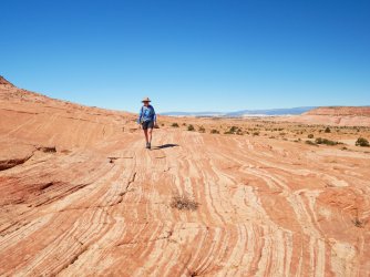
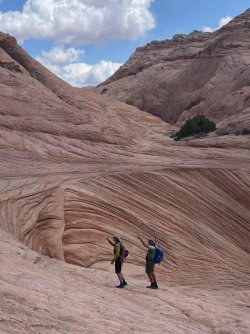
Guess the spot: Utah Edition
- Thread starter Ben
- Start date
- Joined
- Jun 11, 2017
- Messages
- 4,612
SteveR
Member
- Joined
- Sep 22, 2016
- Messages
- 1,028
I think that I know the area that you are thinking of, but no. Can you be more specific?South of Spencer Flat Rd and east of Big Horn Cyn.
Gesendet von iPad mit Tapatalk
SteveR
Member
- Joined
- Sep 22, 2016
- Messages
- 1,028
@Michael No, that's not it.Maybe the drainages south of Moki Hill.
Gesendet von iPhone mit Tapatalk
I had no idea where Moki Hill is but found it on GAIA, and then via google. Interesting, another spot to check out. There are also lots of moki's in that drainage you refer to.
Bob Wire
Member
- Joined
- Dec 21, 2013
- Messages
- 304
Returning from Zebra going toward spencer flat road@Michael No, that's not it.
I had no idea where Moki Hill is but found it on GAIA, and then via google. Interesting, another spot to check out. There are also lots of moki's in that drainage you refer to.
SteveR
Member
- Joined
- Sep 22, 2016
- Messages
- 1,028
Yes, @Writhdar , in the photo clue just above we are heading to the Cosmic Ashtray, aka The Volcano, aka the Inselberg Pit, via the more common route.to/from Cosmic....?
In my original photo (below), we are ascending the head of a north fork of Harris Wash on a different return route taking in the heads of a couple of the Red Breaks drainages as well.

UtahBrian
God bless America. Let's save some of it.
- Joined
- Feb 15, 2018
- Messages
- 54
Dirty Devil smaller side canyons, maybe up near Robbers Roost?maybe?
Don't like ads? Become a BCP Supporting Member and kiss them all goodbye. Click here for more info.


