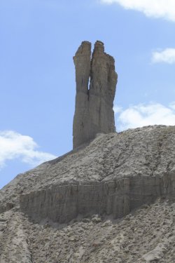
Guess the spot: Utah Edition

Haha, yeah! You could probably get there in two days, not totally sure. But it doesn't really lead anywhere logical as a standalone trip, but def does duty in at least two Allen routes, one of which is really long. For us it was day six, with nine more to go.
 
Last edited:
Bunch of hints:

This is but one way to access F canyon's exquisite slickrock strolls above the inner gorge. I know of four other entries, an unusually high number given the complexity of the neighborhood.

I think F is the second most visited 'wilderness' canyon in the region after S.

C canyon draws all the crowds and is not wilderness imo.

Okay, what does Allen call the route on the pic?
 
F and S to me mean Stevens and Fold (exquisite slickrock is consistent for Fold) but the colors of the layers look more DD/RR. Haven't spent any significant time yet in DD/RR but I am sure there is and S and a F there, too.
Just chiming in, but even if I guessed correct I won't have a chance later to post a pic. So I am out...
 
ZSmvXKc.jpg


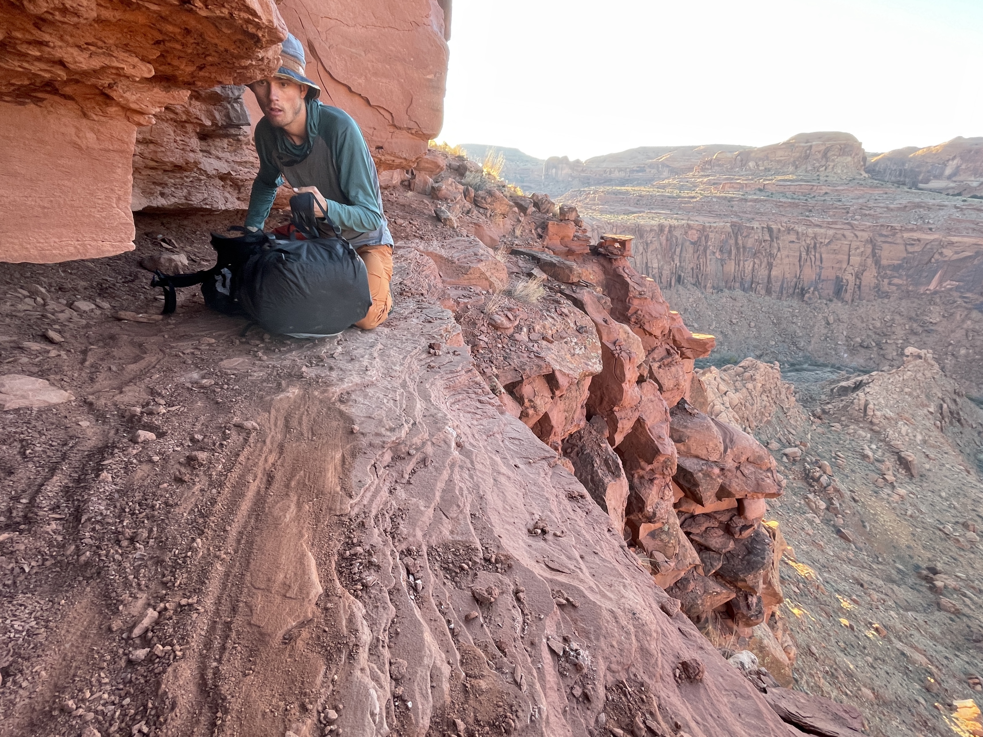
Not far back in the Map thread we had 'The Crawl' as I like to call it, on Allen's Dark Canyon route. This passage is similar. Not as low, but with more than one tricky spot on a long Wingate ledge. What does Allen call it?
I believe he calls it the "bighorn trail" or something along those lines.
 
You next!

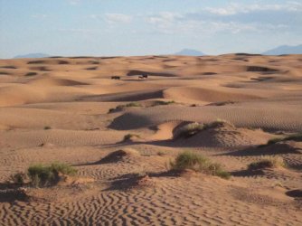
It goes in both directions and accesses the rim of the Escalante with Fold proper actually a ways off around the corner to the south. We did it from the river up after coming down the massive sand dune from the Scorpion Horse Trail.

No ropes needed really if you take off the packs in two spots. The one on the pic require a stomach crawl; earlier there's a short up climb with good holds but also with some low hanging Wingate block wanting to push you off. Both felt quite exposed. Finding the start of the ledge is easy going up - maybe not so much coming from the top
 
Last edited:
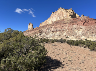
ok this is a named peak on the USGS topo maps and, perhaps surprisingly, there's a non-technical route to the summit

Screenshot 2023-12-11 at 9.41.55 PM.png
 
Not House Range. Hint: A good portion of the businesses in the nearby town bear the name of this so-called "peak."
 
Back
Top