Navigation
Install the app
How to install the app on iOS
Follow along with the video below to see how to install our site as a web app on your home screen.
Note: This feature may not be available in some browsers.
More options
Style variation
You are using an out of date browser. It may not display this or other websites correctly.
You should upgrade or use an alternative browser.
You should upgrade or use an alternative browser.
Guess the spot: Utah Edition
- Thread starter Ben
- Start date
Henk
Member
- Joined
- Nov 11, 2014
- Messages
- 335
- Joined
- Aug 18, 2018
- Messages
- 1,804
Johns Canyon??
Not John's Canyon. Here is another view, this time looking downstream. It's probably more known for the upper part of the canyon which is a backpacking favorite of many, requires difficult to get permits for overnight stays and it takes a few days to backpack through the entire canyon. The lower part of the drainage (this photo) is also a dirt road. But it's closed so much that few ever get a chance to drive it! Frustrating, but the photo shows why the road gets closed after substantial flash flood damage:

- Joined
- Aug 18, 2018
- Messages
- 1,804
The Barracks?
No. Think more NNE direction of your John's canyon guess.
- Joined
- Aug 18, 2018
- Messages
- 1,804
Salt Creek?
YES! That was sneaky, as it was the same one you posted last time
John Morrow
Member
- Joined
- May 22, 2015
- Messages
- 1,119
I'll start off with a guess that the river is the Virgin River?
Henk
Member
- Joined
- Nov 11, 2014
- Messages
- 335
It was indeed the suspension bridge over the San Juan River, a couple of miles east of Bluff.
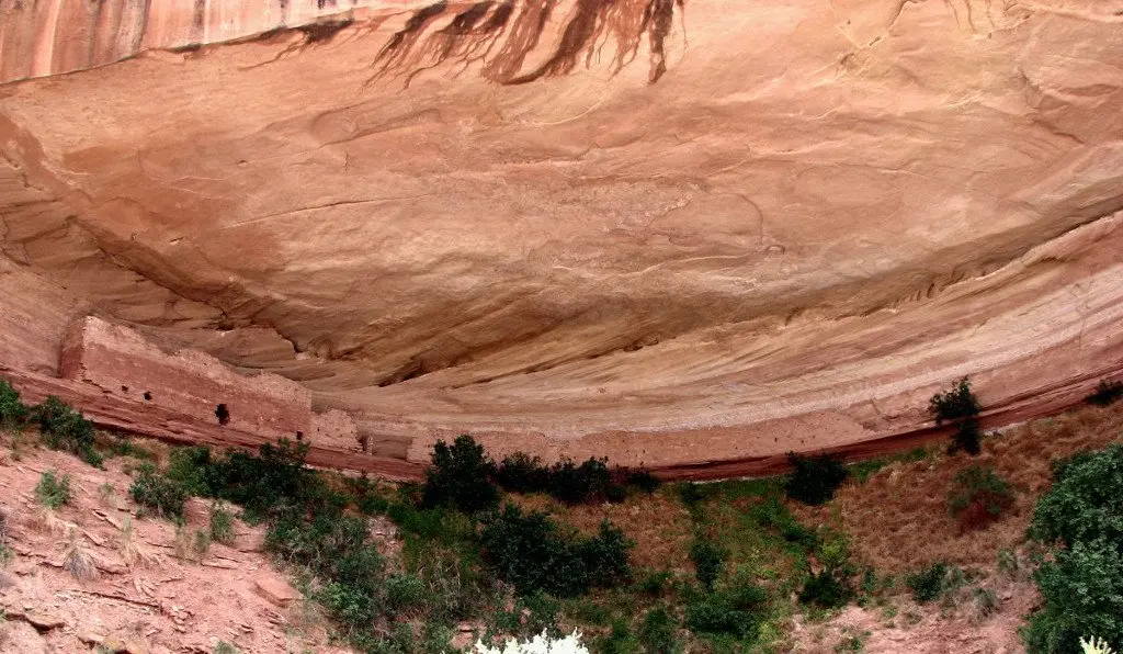
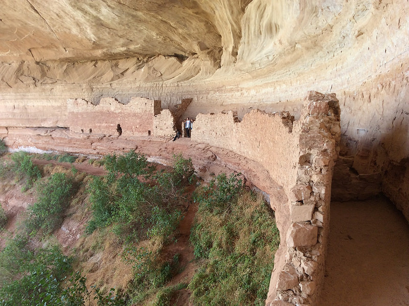
The Ruin at the other side is kwown as 14, 16 or 17 Room Ruin or as Casa del Echo.
we visited the place in 2005, the bridge was destroyed by a flood in 2007, and sofar not rebuild.
@deelek you are up!
links with background info:

 www.anasazihikes.com

 thearnoldexperience.com
The Ruin at the other side is kwown as 14, 16 or 17 Room Ruin or as Casa del Echo.
we visited the place in 2005, the bridge was destroyed by a flood in 2007, and sofar not rebuild.
@deelek you are up!
links with background info:

16 Room House Anasazi Ruin near Bluff, Utah - AnasaziHikes.com
16 Room House sits above the San Juan River near Bluff and Mexican Hat Utah. This scenic and interesting ruin is reached by county roads.
 www.anasazihikes.com

Casa del Echo and Bluff Great House
Trip log: Kids and Al went to Casa del Echo ruin and the Bluff Great house Got coffee at cute coffee shop, talked about WordPress with barista Hitched up Drove by 4 corners, decided not to stop sin…
Don't like ads? Become a BCP Supporting Member and kiss them all goodbye. Click here for more info.


