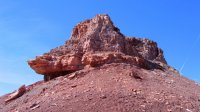
Guess the spot: Maps Edition

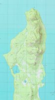
I was puzzled by that map at first, until I realized that it was an older topo with a now-obsolete highway shield. :)

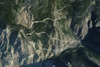
As a new kid here I haven't made it all the way through this thread, but I'll give it shot. I have a feeling you guys aren't easily stumped:

Guess the spot 1.jpg
 
Do I hear crickets?

Anyhow, here's another clue: the road in the photo is a former federally numbered highway, only part of which is still passable.
 
Do I hear crickets?

Anyhow, here's another clue: the road in the photo is a former federally numbered highway, only part of which is still passable.
Well, heck I don't know. So, it is in Wyoming or Montana - probably Montana and it is a now closed highway. Pretty impressive whatever it is.
 
This is Wyoming ... and yeah, definitely a heck of a drive: right up there with Beartooth in my book. Even the surviving part is still pretty cool.
 
Sorry about that! That's the old route of US 14A up the west slope of the Big Horns in Wyoming -- the Medicine Wheel would be a little northeast of that view. It's mostly bypassed now, but was a pretty amazing road ... close to 6,000 feet of elevation gain, I think.

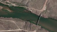
Here's another aerial to look at. The earth in this location is a little bit redder ...

Guess the  spot 2.jpg
 
Well sometimes you know, and sometimes you don't.

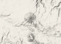
What is the pointy, cone-like feature?pointy.png
 
Back
Top