Navigation
Install the app
How to install the app on iOS
Follow along with the video below to see how to install our site as a web app on your home screen.
Note: This feature may not be available in some browsers.
More options
Style variation
You are using an out of date browser. It may not display this or other websites correctly.
You should upgrade or use an alternative browser.
You should upgrade or use an alternative browser.
Guess the spot: Maps Edition
- Thread starter Backcountry Post
- Start date
- Joined
- Jul 23, 2013
- Messages
- 1,665
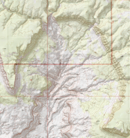
My first time jumping in here. Took me a bit, but after confirming that was the Henrys in the background and Lake Powell meandering behind the cliff, I'm going to go with Harvey Fear Cliff.
- Joined
- Aug 9, 2007
- Messages
- 12,962
Harvey's Fear Cliff is correct. I'd love to know how that one got it's name. You're up @WasatchWill.
- Joined
- Jul 23, 2013
- Messages
- 1,665
- Joined
- Jul 23, 2013
- Messages
- 1,665
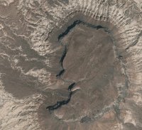
It's in Utah. It's near some areas that gets lots of love here on BCP so I thought for sure someone would get it pretty quick.
Sent from my HTCONE using Tapatalk
Sent from my HTCONE using Tapatalk
- Joined
- Jul 23, 2013
- Messages
- 1,665
Looks like factory butte?
You got it! You're up.
Joey
walking somewhere
- Joined
- Apr 1, 2014
- Messages
- 878
You got it @ben cowan . Your up.
- Joined
- Jun 25, 2012
- Messages
- 4,430
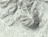
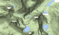
I wanna go there....Hint: Its in Monatana. Here are a few photo clues:
From the center of the map looking west:

From the bottom of the map looking north:

Don't like ads? Become a BCP Supporting Member and kiss them all goodbye. Click here for more info.

