Navigation
Install the app
How to install the app on iOS
Follow along with the video below to see how to install our site as a web app on your home screen.
Note: This feature may not be available in some browsers.
More options
Style variation
You are using an out of date browser. It may not display this or other websites correctly.
You should upgrade or use an alternative browser.
You should upgrade or use an alternative browser.
Guess the spot: Maps Edition
- Thread starter Backcountry Post
- Start date
Noun Sequitur
My Feet Hurt
- Joined
- Oct 24, 2012
- Messages
- 361
WOW -- that was hard! But... I finally took your hint of using Google and tracked it down:
Malpais Wilderness in NM.
You got it! Beautiful country I might add. I'll try to dig out some pics and post them.
- Joined
- Jun 25, 2012
- Messages
- 4,430
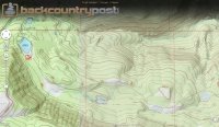
Just north of Navajo lake and hwy 14.HINT: I *think* it's the largest lava field in Utah (not covered with vegetation anyway.)
- JG
- Joined
- Feb 23, 2012
- Messages
- 662
Udink
Still right here.
- Joined
- Jan 17, 2012
- Messages
- 1,742
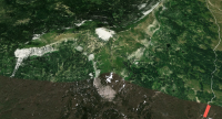
Yep, I went up Twelvemile Canyon from Mayfield then south on Skyline Drive (here's my GPS track). Total round-trip hiking time was 3.5 hours, and that included a break at the top and a little exploration of the small plateau on top.Good job, Dennis! How did you access it? From Skyline Drive? How long did it take to get up it?
- Joined
- Jun 25, 2012
- Messages
- 4,430
Great GPS track and photolog Dennis. I will be climbing it this year. Have you ever driven up to that point on the Skyline from I70? I wonder if it is technically difficult or slow going. I have driven the northern two thirds of the road all the way to SR6 and found it easy.Yep, I went up Twelvemile Canyon from Mayfield then south on Skyline Drive (here's my GPS track). Total round-trip hiking time was 3.5 hours, and that included a break at the top and a little exploration of the small plateau on top.
Udink
Still right here.
- Joined
- Jan 17, 2012
- Messages
- 1,742
I've only been about a mile up that road from I-70, and at least that part was well-maintained. I'm not sure what condition it's in beyond that.Have you ever driven up to that point on the Skyline from I70? I wonder if it is technically difficult or slow going. I have driven the northern two thirds of the road all the way to SR6 and found it easy.
Udink
Still right here.
- Joined
- Jan 17, 2012
- Messages
- 1,742
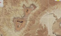
Yep, you got it! I may be heading there for a trip next month...just gotta deal with the NPS red tape first.Buttes of the Cross near the White Rim Trail
Desertrat
Member
- Joined
- Mar 12, 2012
- Messages
- 72
Noun Sequitur
My Feet Hurt
- Joined
- Oct 24, 2012
- Messages
- 361
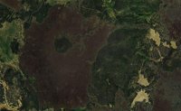
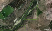
Found it...Ouray National Wildlife Refuge.
Udink
Still right here.
- Joined
- Jan 17, 2012
- Messages
- 1,742
Yep! Along the Green, roughly south of Vernal.Found it...Ouray National Wildlife Refuge.
Don't like ads? Become a BCP Supporting Member and kiss them all goodbye. Click here for more info.

