Navigation
Install the app
How to install the app on iOS
Follow along with the video below to see how to install our site as a web app on your home screen.
Note: This feature may not be available in some browsers.
More options
Style variation
You are using an out of date browser. It may not display this or other websites correctly.
You should upgrade or use an alternative browser.
You should upgrade or use an alternative browser.
Guess the spot: Maps Edition
- Thread starter Backcountry Post
- Start date
Noun Sequitur
My Feet Hurt
- Joined
- Oct 24, 2012
- Messages
- 361
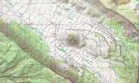
Found it on Google Maps... near the Escalante River, but I don't know what the area is called and I've never been there. Looks really cool... do we have any trip reports from this?
Udink
Still right here.
- Joined
- Jan 17, 2012
- Messages
- 1,742
It doesn't have a name, so that's close enough.Found it on Google Maps... near the Escalante River, but I don't know what the area is called and I've never been there. Looks really cool... do we have any trip reports from this?
Noun Sequitur
My Feet Hurt
- Joined
- Oct 24, 2012
- Messages
- 361
HomerJ
Member
- Joined
- Jan 19, 2012
- Messages
- 1,199
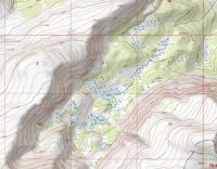
East of Moab, before Fisher Towers.That's a way cool snippet of topo. Where is Castle Valley?
- Joined
- Aug 9, 2007
- Messages
- 12,962
...hights above 10k and permits - Zion area?
Gesendet von meinem JB-ViperXed HOX
Much further north.
- Joined
- Aug 9, 2007
- Messages
- 12,962
I give up. Based on the glaciers and the hint that you needed permits, I figured it was Glacier.
Cold
...so I thought maybe you were doing something on the Reservation in the Winds.
Warmer, but not the right range.
Aldaron
Member
- Joined
- Jun 16, 2012
- Messages
- 1,487
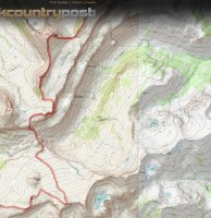
We dayhiked Death Canyon once...it was great. That was the first time we realized that the Tetons were much more than just the narrow mountain range they look like from the valley floor.
Don't like ads? Become a BCP Supporting Member and kiss them all goodbye. Click here for more info.


