Navigation
Install the app
How to install the app on iOS
Follow along with the video below to see how to install our site as a web app on your home screen.
Note: This feature may not be available in some browsers.
More options
Style variation
You are using an out of date browser. It may not display this or other websites correctly.
You should upgrade or use an alternative browser.
You should upgrade or use an alternative browser.
Guess the spot: Maps Edition
- Thread starter Backcountry Post
- Start date
Udink
Still right here.
- Joined
- Jan 17, 2012
- Messages
- 1,742
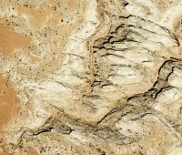
That's the point on the San Rafael Reef south of the San Rafael River and north of Black Dragon Wash.  I recognized it immediately after it was posted but didn't guess 'cause it was too easy and I was sure somebody else would get it.
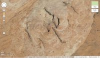
This one could be difficult, but then again, maybe somebody will recognize it. I'll probably be hanging out here later this week:

This one could be difficult, but then again, maybe somebody will recognize it. I'll probably be hanging out here later this week:

Udink
Still right here.
- Joined
- Jan 17, 2012
- Messages
- 1,742
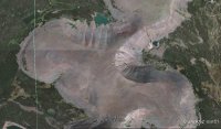
Good job, that's the spot!... Sandstone dome between Cosmic Navel and Escalante River.
- Joined
- Jun 25, 2012
- Messages
- 4,430
... there's a parking lot and a kiosk (not in the pic), 'Frylette' is in the near.
Is it the Fry Canyon and White canyon confluence - the trailhead being the motel on UT95 just out of the picture to the lower left?
- Joined
- Jun 25, 2012
- Messages
- 4,430
Hmmm... so what is your hint "Frylette is in the near" all about then?Sorry Art, go further north.
What time you got there right now since you are online?
- Joined
- Jun 25, 2012
- Messages
- 4,430
....near is relatively, like Arches NP near Moab is.
So it must be like 3 am there Michael, you firefighter. No?
Udink
Still right here.
- Joined
- Jan 17, 2012
- Messages
- 1,742
Udink
Still right here.
- Joined
- Jan 17, 2012
- Messages
- 1,742
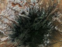
Yes and yes!Haha! Wooley Lakes! Was that one for me??
Don't like ads? Become a BCP Supporting Member and kiss them all goodbye. Click here for more info.


