Guess the spot: Maps Edition

Innocent as charged. Fake news!! Sad!!!

What's elevation?
Well, since it is green, signifying forest it is below the ELEVATION they call tree-line or below 10-29K' unless you live in alaska where it is 10-29real feet. I'm thinking O'fool that us geographically-challenged guessers will need a decent hint.
 
Well, since it is green, signifying forest it is below the ELEVATION they call tree-line or below 10-29K' unless you live in alaska where it is 10-29real feet. I'm thinking O'fool that us geographically-challenged guessers will need a decent hint.
Uh, where exactly would treeline be 29k?
 
Last hint: Within 15 miles of Butte, MT. I was hoping one of the butants would have seen and recognized this.

And to make sure that I do not offend any residents of Butte, I lived there in the 90's and considered myself a "butant". Butte is still one of my favorite places to live.
 
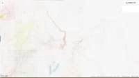
I don't know what to call this area, but it's southeast of Butte. The maps have Thompson Park nearby, and the line at the bottom is the border between Silver Bow County and Madison County. It's in the Deerlodge national forest and the map has Highlands Mountains across part of it.
 
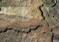
name the canyon

I0000b_30X1O3_ZE.jpg
 
that one South of Slickhorn, between it and Johns, just up stream from Government Rapids. i don't see a name on it on the topo, so i couldn't tell you. i call it canyon 37.2878, -110.1109
 
Back
Top