Kullaberg63
Member
- Joined
- Mar 6, 2014
- Messages
- 659
Spring break, april 2014.
I dropped my family and our packs off near the Needles visitor center then drove the car to Elephant Hill and biked back. After hiding the bike we walked down to the Colorado river via the 'Kelsey Cattrack Route', ending at the little beach called Box Elder Camp.
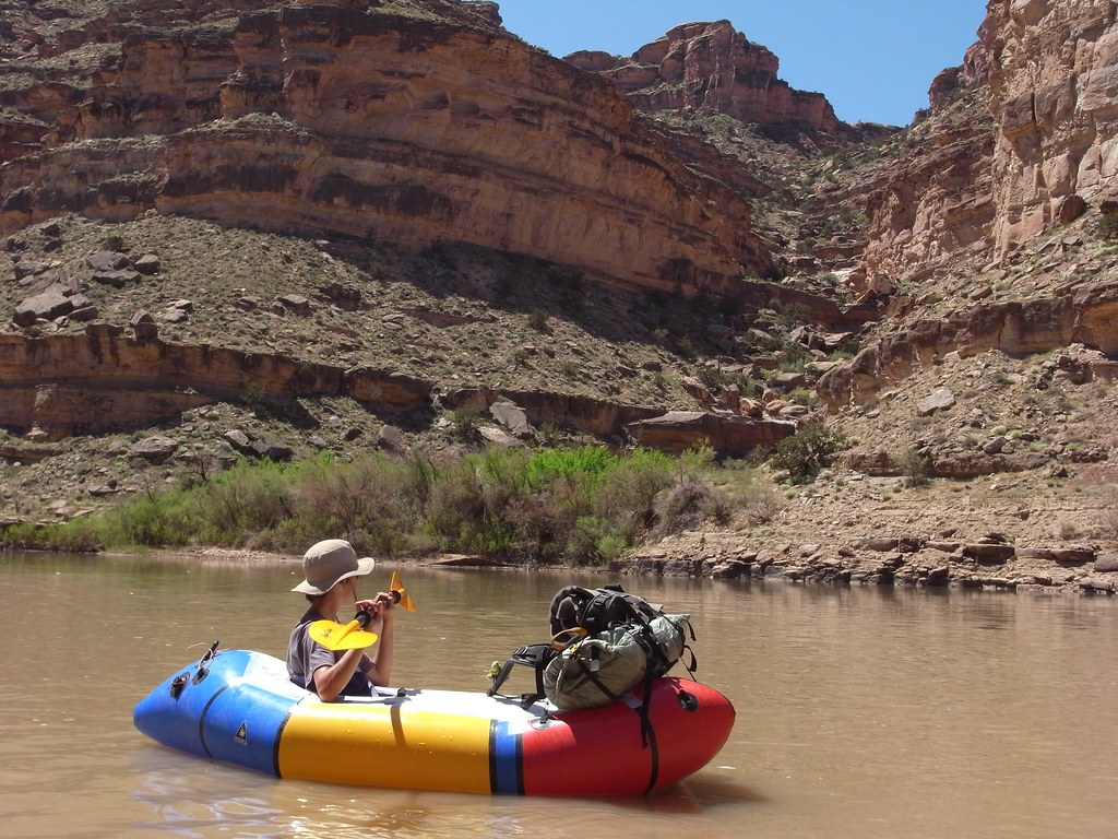
Here we launched our boats and floated to Spanish Bottom. Recent rains had bumped the river up to 10000 cfs making the Slide an honest class 2, and prompted us to hike out to Brown Betty in Cataract for a peek at real whitewater.
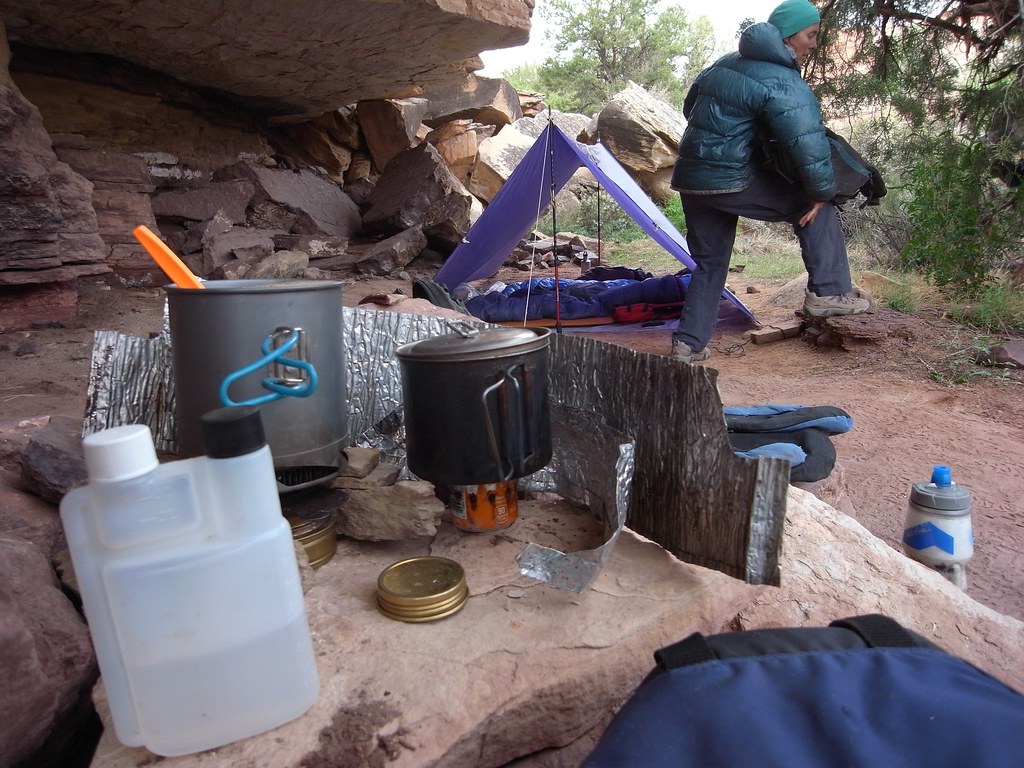
A typical cold front had settled in after yesterday's storm so we spent the night up high near the Doll House in hopes of warmer temps.
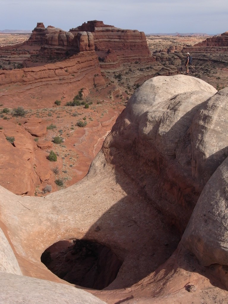
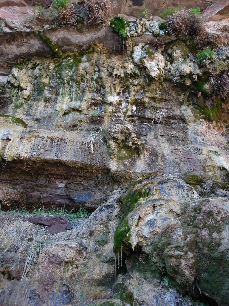
On day 2 we moved camp to the big reliable spring in Water Canyon and did a loop up Water down Shot in the afternoon to visit friends at Chimney Rock. The exit we took out the head of Water is different from the 'Inverted Y' route Kelsey describes, and has 4th class moves with bad exposure.
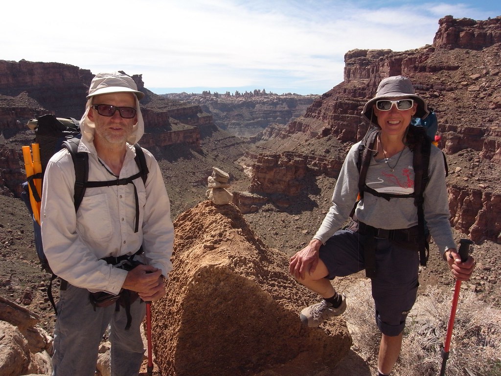
The third day was spent exploring side canyons to Shot and the ridge east of Jasper. The gps track best shows this complex but safe non technical hike. At the far end we were almost at the limestone shelf at the mouth of Jasper.
Finally on day 4 we went down Water Canyon and floated back through the Confluence, this time from the Green River side. We used Lower Red Lake Canyon to take us back to the vehicle.
A great trip for sure.
About 50 miles of hiking plus 20 on the river. Here's a confusing GPS track showing the route. The start is the eastern most end:
View larger map.
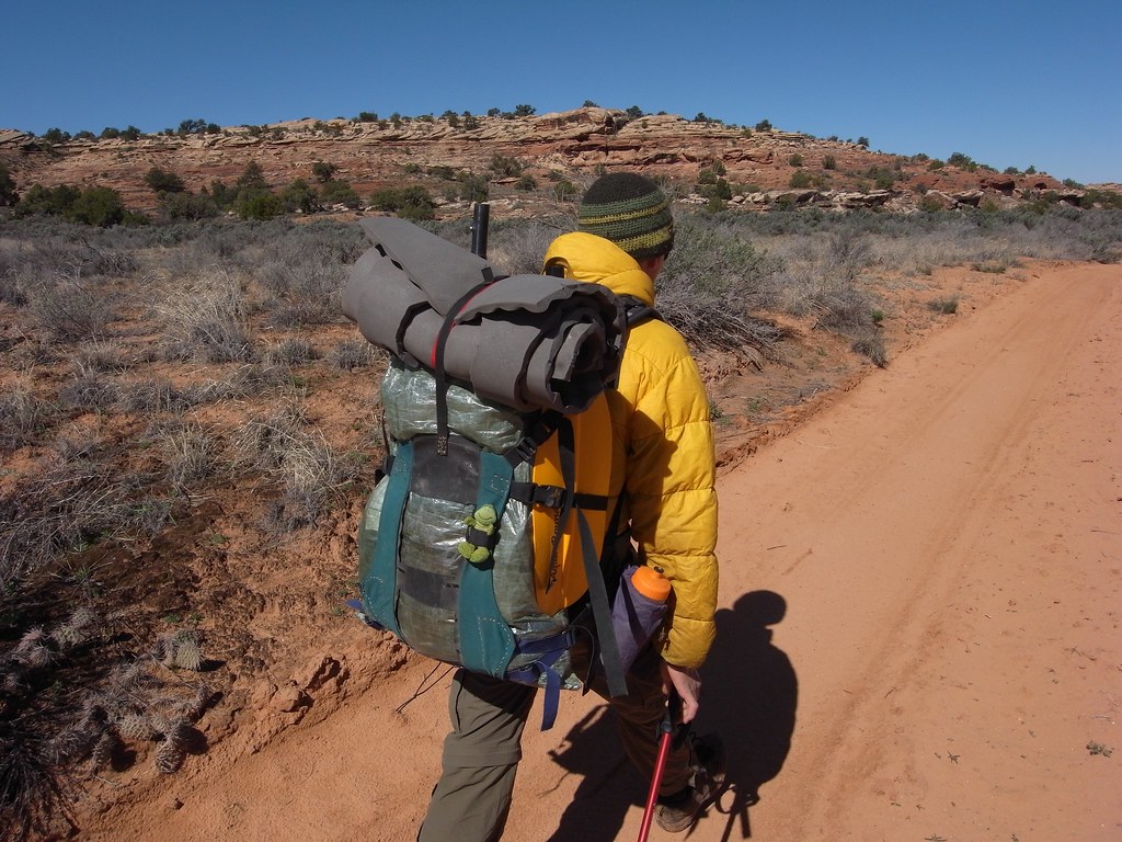
image by kullaberg631, on Flickr
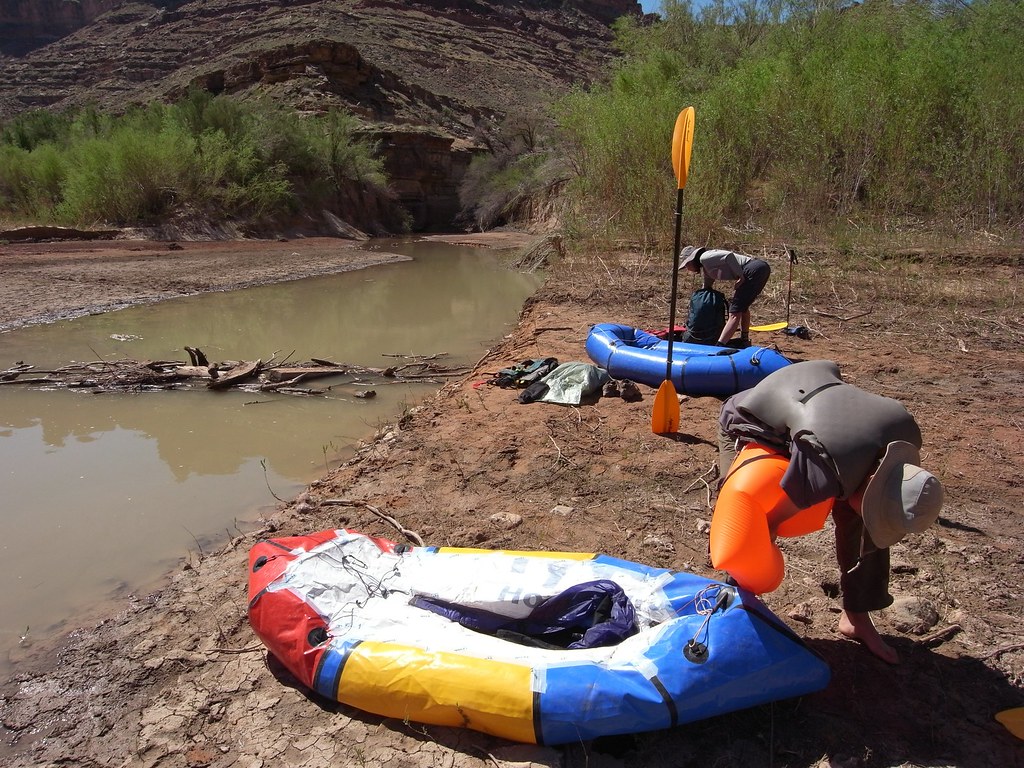
The packs: Bjorn customized an old Dana to carry the packraft externally against the back, with a Cuben drybag for the rest.
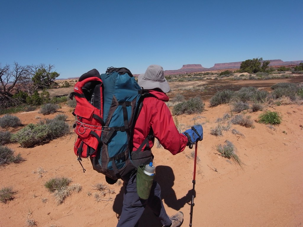
image by kullaberg631, on Flickr
The packs: Sonja's old '89 Lowe is still going strong!
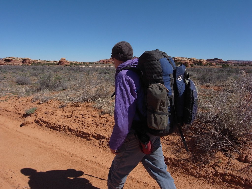
image by kullaberg631, on Flickr
I use a Khamsin 50 liter with the raft inside.
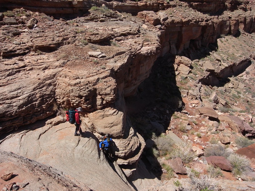
image by kullaberg631, on Flickr
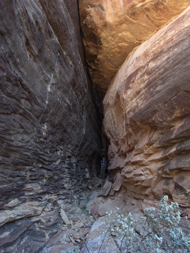
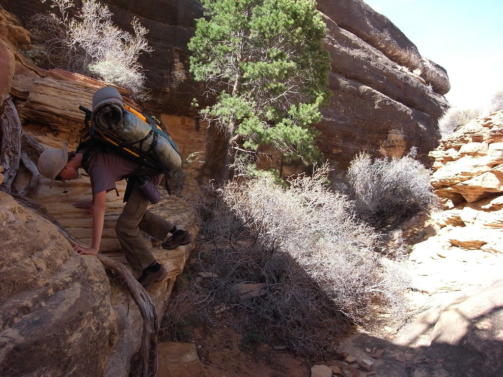
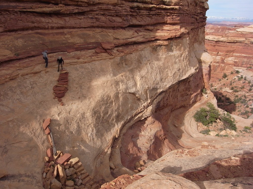
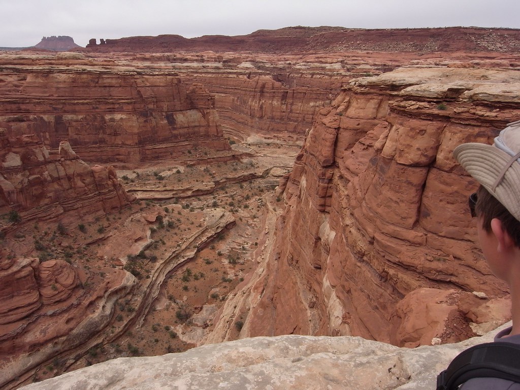
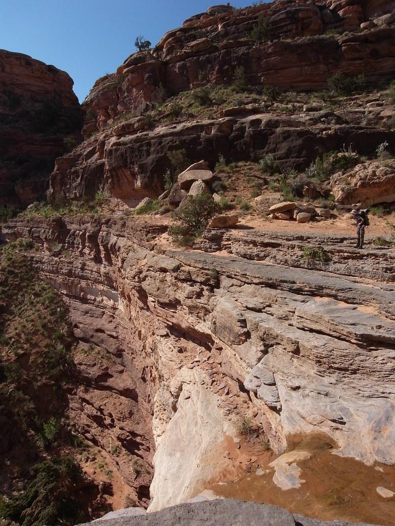
A tricky spot on Kelsey's Cattrack route down from the Colorado River Overlook road near the Needles visitor center. Because of recent rains this road was gated off, adding 4 miles to the descent. The old bulldozer track which one is following for the first hour or so is a little difficult to spot on the ground.
Besides Red Lake, we have tried 3 other ways to reach the river from the Needles: this one, the elusive scramble from Cyclone Canyon and the canyoneering route down Big Spring to Salt. This one is the simplest and fastest.
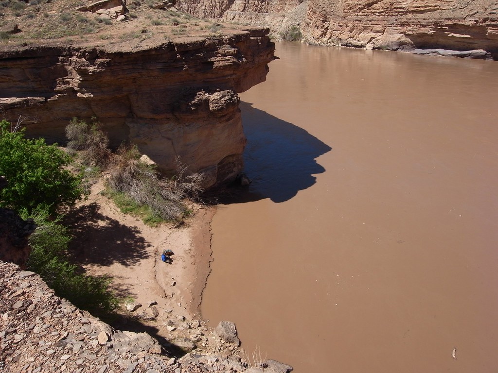
image by kullaberg631, on Flickr
Box Elder Beach where we launched for the 10 mile float to Spanish Bottom.
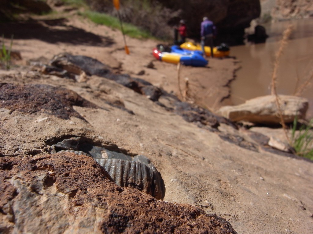
image by kullaberg631, on Flickr
Fossil.
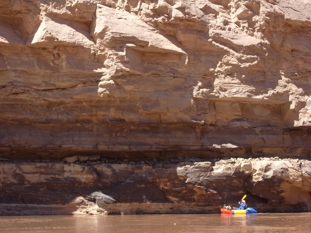
image by kullaberg631, on Flickr
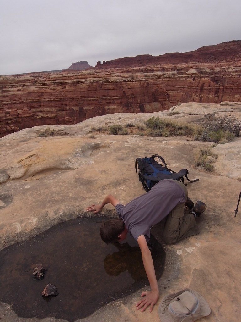
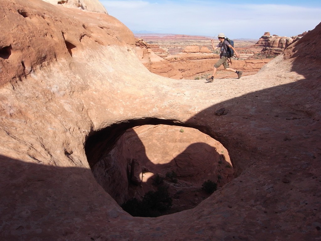
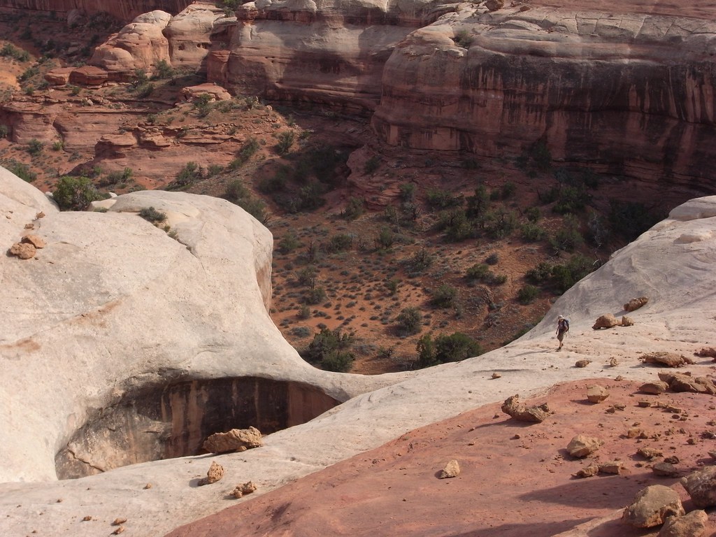
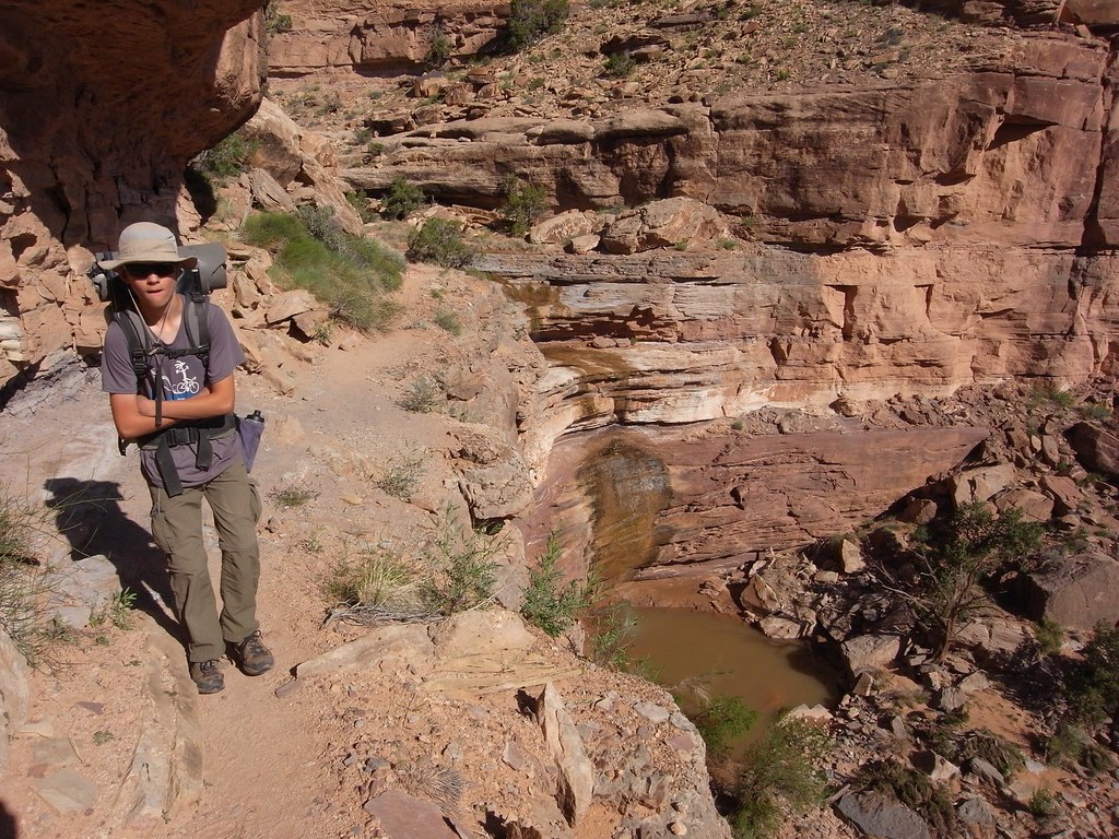
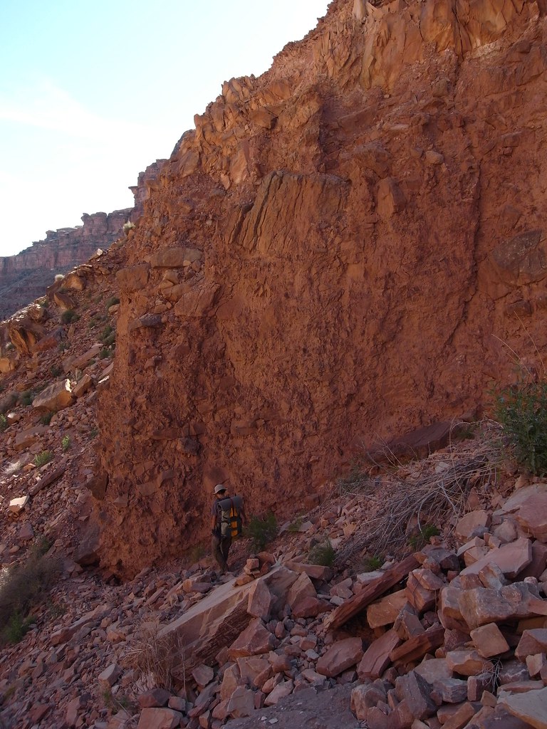
On the way.
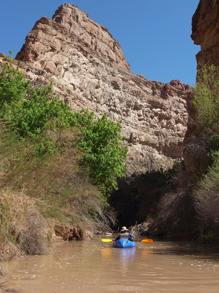
image by kullaberg631, on Flickr
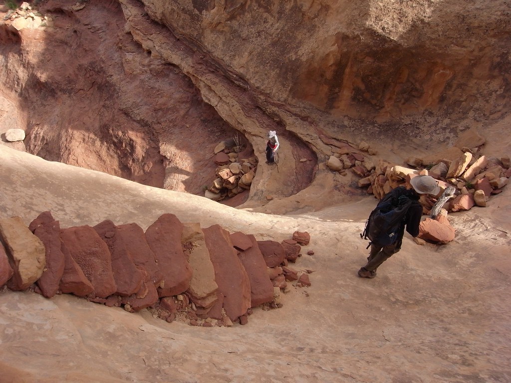
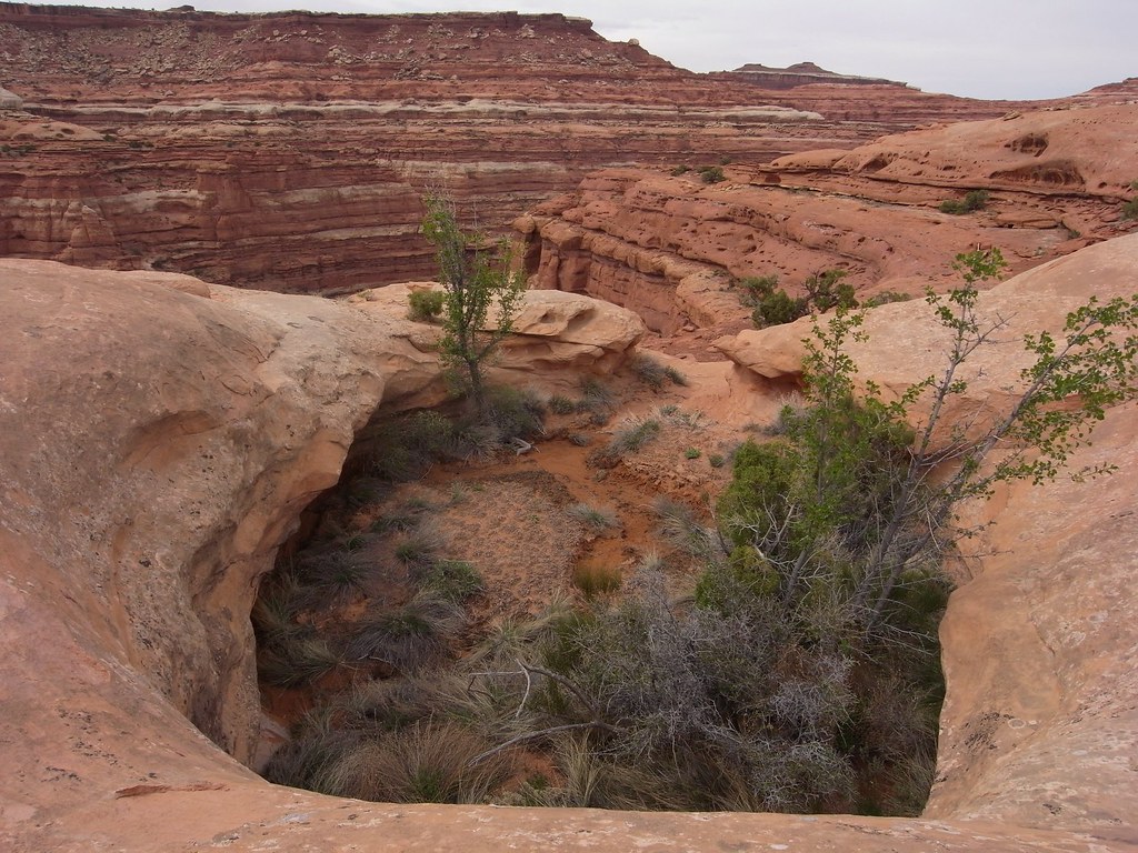
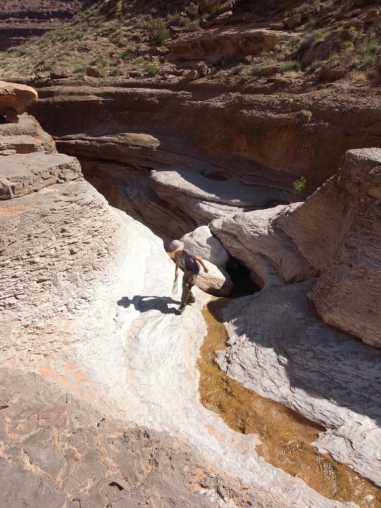
There was time to explore the many flooded side canyons. It rained hard the night before we started, so the river was up to a seasonal high of 10000 cfs. If I remember correctly this is Elephant Canyon.
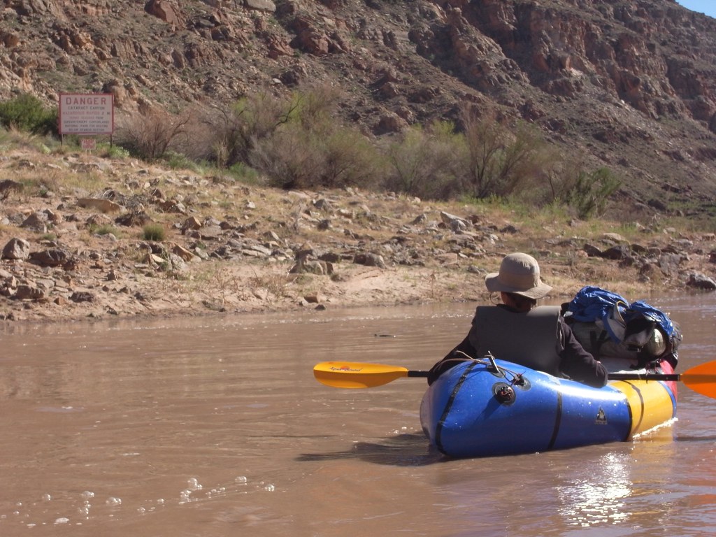
image by kullaberg631, on Flickr
The old river runner sign-in register and a warning of upcoming class 4 in Cataract, luckily past our take out for the maze.
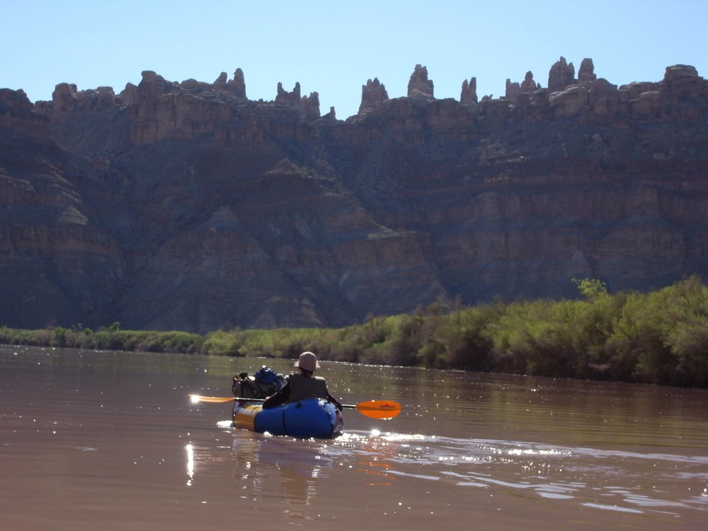
image by kullaberg631, on Flickr
Arriving below the spires of the Doll House.
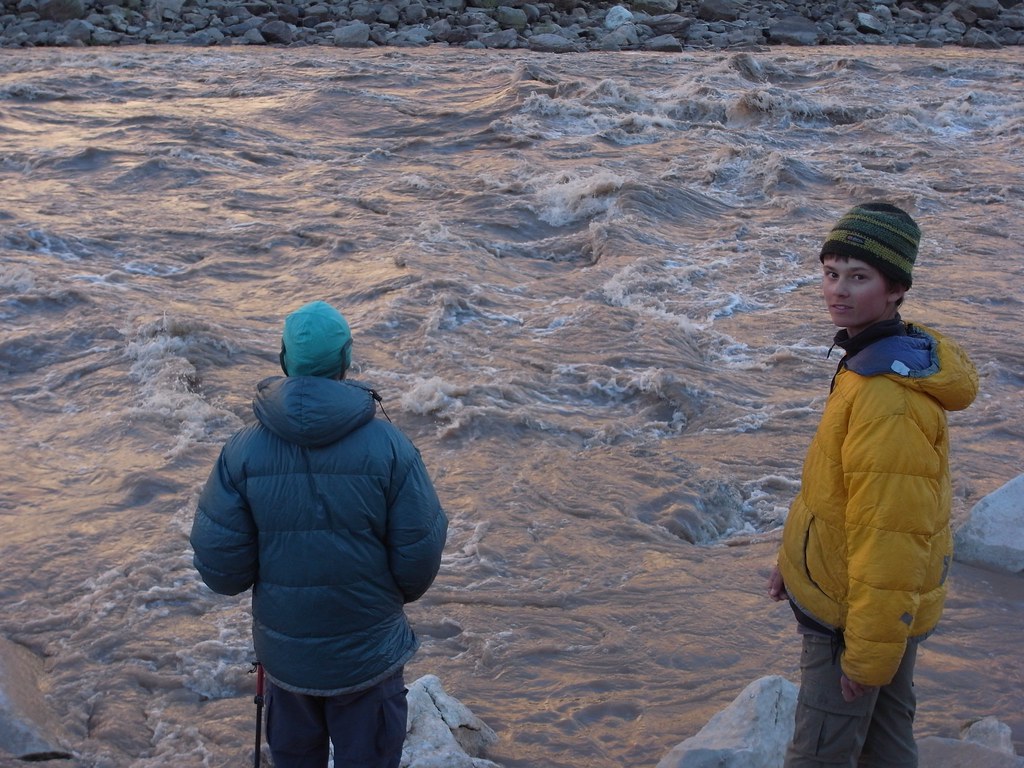
image by kullaberg631, on Flickr
Brown Betty, the first big drop in Cataract and easily accessed in 20 minutes from Spanish Bottom on a good trail. While Sonja and I were very intimidated, I suspect Bjorn was dreaming of running it one day. Hopefully that will be in a J-rig and not a packraft!
image by kullaberg631, on Flickr
Brown Betty. Serious stuff.
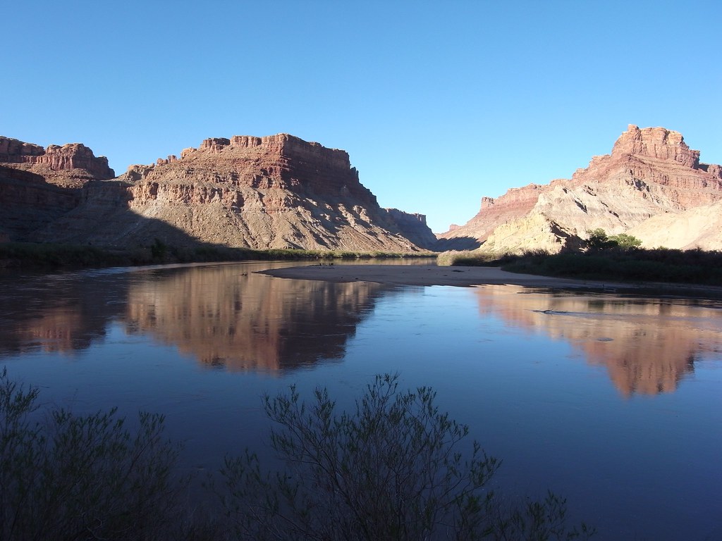
image by kullaberg631, on Flickr
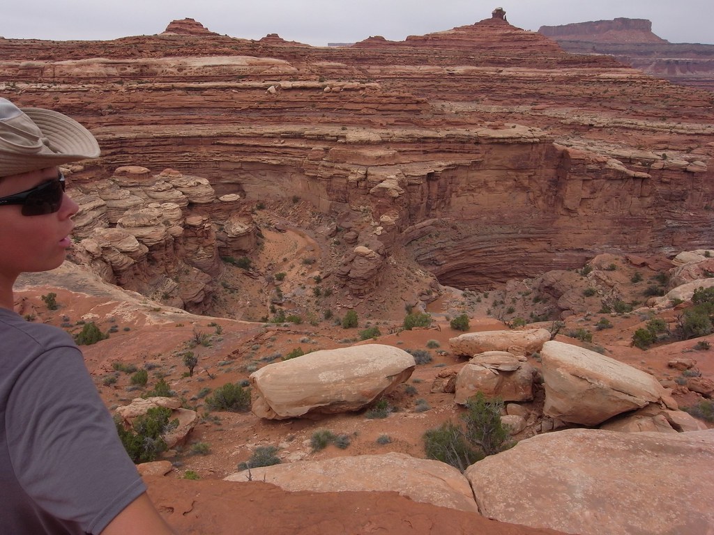
Spanish Bottom on the left and the big sand bar below Lower Red Lake canyon on the Needles side on the right.
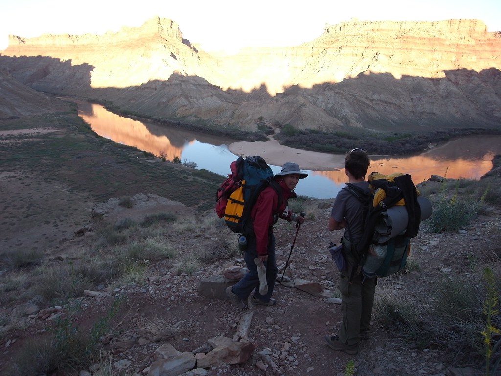
image by kullaberg631, on Flickr
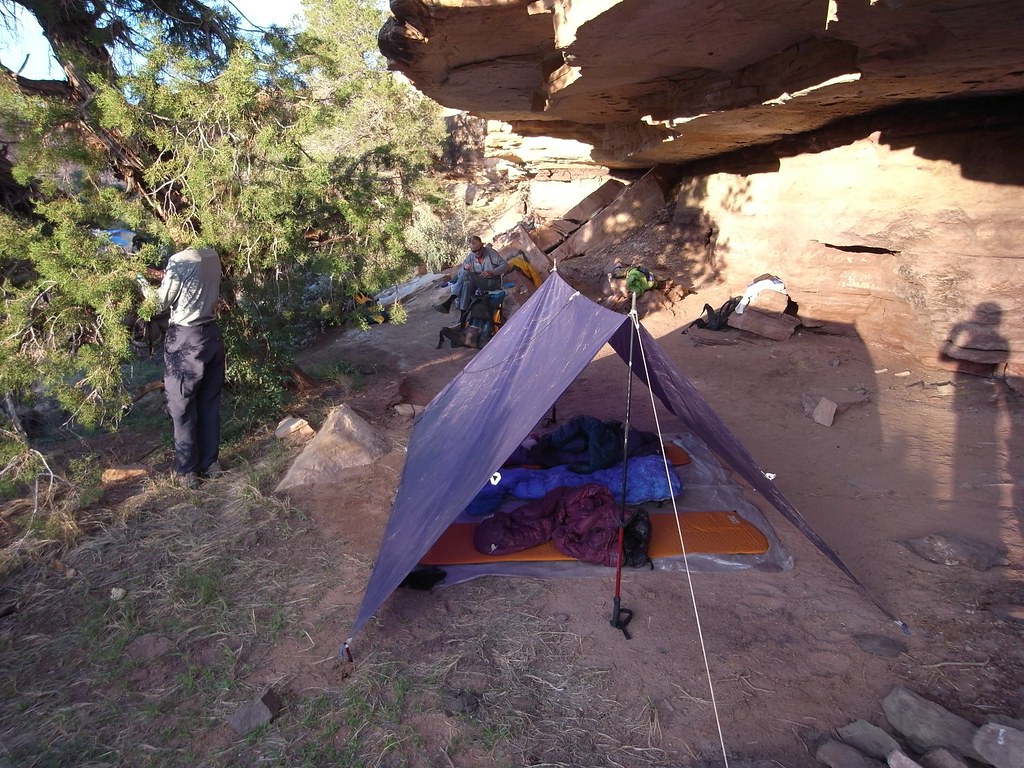
The day had been cold following the storm, and once the sun dipped down it got very chilly by the river. We decided to head up to near the Doll House for our first night's camp....
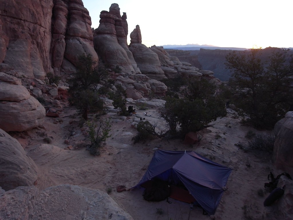
image by kullaberg631, on Flickr
..which ended up being here. The tarp looks pretty sloppy in this pic!
More pics asap.
Featured image for home page:

I dropped my family and our packs off near the Needles visitor center then drove the car to Elephant Hill and biked back. After hiding the bike we walked down to the Colorado river via the 'Kelsey Cattrack Route', ending at the little beach called Box Elder Camp.
Here we launched our boats and floated to Spanish Bottom. Recent rains had bumped the river up to 10000 cfs making the Slide an honest class 2, and prompted us to hike out to Brown Betty in Cataract for a peek at real whitewater.
A typical cold front had settled in after yesterday's storm so we spent the night up high near the Doll House in hopes of warmer temps.
On day 2 we moved camp to the big reliable spring in Water Canyon and did a loop up Water down Shot in the afternoon to visit friends at Chimney Rock. The exit we took out the head of Water is different from the 'Inverted Y' route Kelsey describes, and has 4th class moves with bad exposure.
The third day was spent exploring side canyons to Shot and the ridge east of Jasper. The gps track best shows this complex but safe non technical hike. At the far end we were almost at the limestone shelf at the mouth of Jasper.
Finally on day 4 we went down Water Canyon and floated back through the Confluence, this time from the Green River side. We used Lower Red Lake Canyon to take us back to the vehicle.
A great trip for sure.
About 50 miles of hiking plus 20 on the river. Here's a confusing GPS track showing the route. The start is the eastern most end:
View larger map.
image by kullaberg631, on Flickr
The packs: Bjorn customized an old Dana to carry the packraft externally against the back, with a Cuben drybag for the rest.
image by kullaberg631, on Flickr
The packs: Sonja's old '89 Lowe is still going strong!
image by kullaberg631, on Flickr
I use a Khamsin 50 liter with the raft inside.
image by kullaberg631, on Flickr
A tricky spot on Kelsey's Cattrack route down from the Colorado River Overlook road near the Needles visitor center. Because of recent rains this road was gated off, adding 4 miles to the descent. The old bulldozer track which one is following for the first hour or so is a little difficult to spot on the ground.
Besides Red Lake, we have tried 3 other ways to reach the river from the Needles: this one, the elusive scramble from Cyclone Canyon and the canyoneering route down Big Spring to Salt. This one is the simplest and fastest.
image by kullaberg631, on Flickr
Box Elder Beach where we launched for the 10 mile float to Spanish Bottom.
image by kullaberg631, on Flickr
Fossil.
image by kullaberg631, on Flickr
On the way.
image by kullaberg631, on Flickr
There was time to explore the many flooded side canyons. It rained hard the night before we started, so the river was up to a seasonal high of 10000 cfs. If I remember correctly this is Elephant Canyon.
image by kullaberg631, on Flickr
The old river runner sign-in register and a warning of upcoming class 4 in Cataract, luckily past our take out for the maze.
image by kullaberg631, on Flickr
Arriving below the spires of the Doll House.
image by kullaberg631, on Flickr
Brown Betty, the first big drop in Cataract and easily accessed in 20 minutes from Spanish Bottom on a good trail. While Sonja and I were very intimidated, I suspect Bjorn was dreaming of running it one day. Hopefully that will be in a J-rig and not a packraft!
image by kullaberg631, on Flickr
Brown Betty. Serious stuff.
image by kullaberg631, on Flickr
Spanish Bottom on the left and the big sand bar below Lower Red Lake canyon on the Needles side on the right.
image by kullaberg631, on Flickr
The day had been cold following the storm, and once the sun dipped down it got very chilly by the river. We decided to head up to near the Doll House for our first night's camp....
image by kullaberg631, on Flickr
..which ended up being here. The tarp looks pretty sloppy in this pic!
More pics asap.
Featured image for home page:
Last edited:

")
