ROKTAXI

Member
Joined
Sep 17, 2012
Messages
94
I was able to get a reservation for The Wave on November 12, so I decided to see other places while in the area. Seeing that my permit for The Wave was on Monday, I drove to Page on Friday and got a motel room so I could be ready to go early the next morning. The drive from Moab to Page was *interesting*. I had a 20-40 mph head and cross wind the entire drive to Page. But as I left Moab, the clouds were building and by the time I got to Blanding it was a torrential downpour that lasted for about 20 miles. However the wind never let up.

The motel was a welcome sight and was a bit exhausted from wrestling the steering wheel for 5 hours.
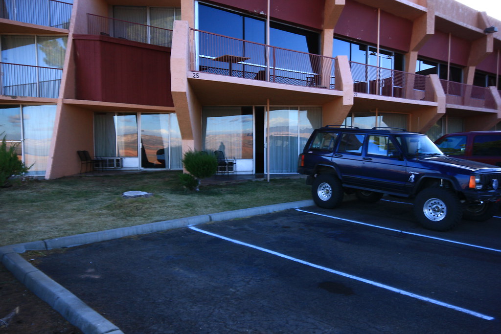
Motel


Early the next morning I headed for the White Pocket. It was a bit chilly but the wind had settled down to a few mph which was just enough to add another level of the chill factor.

At the Wave parking area I noticed Randy's Jeep and left a sticky note on his side mirror. Ironically, he had a permit for that day and mine was for 2 days later.

A few miles after the turn off to House Rock Rd., I noticed snow on the top of some of the north facing canyon walls. Soon it was on the ground in front of me.
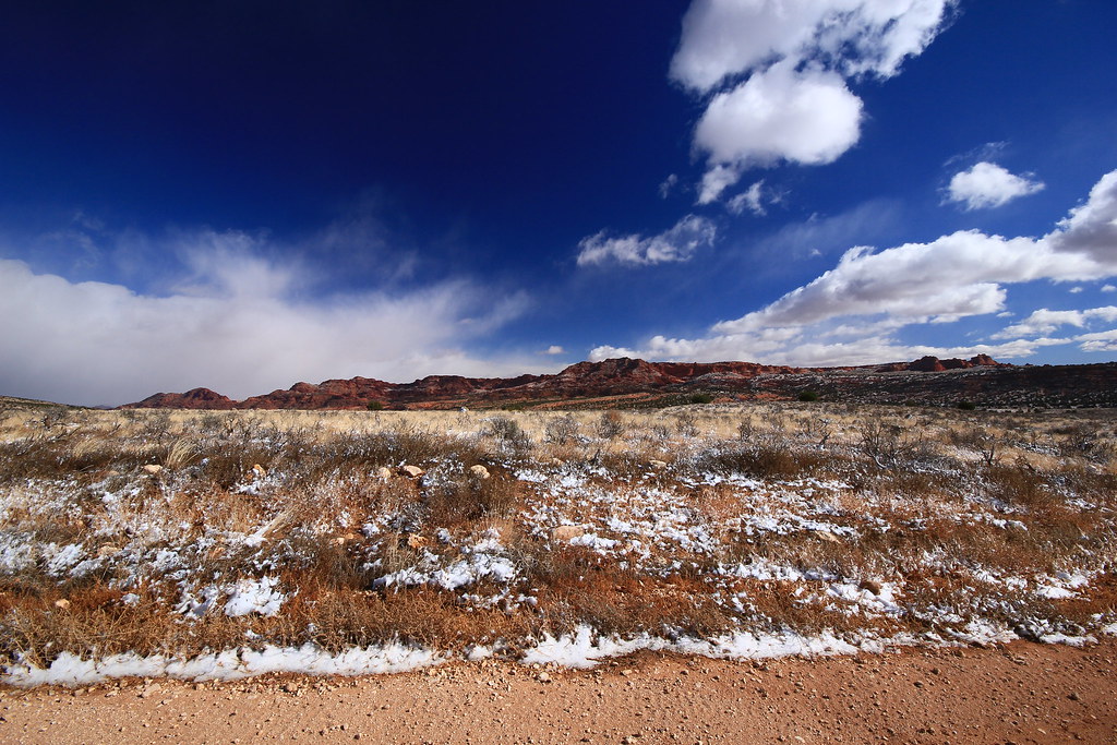
View

The wind had really plastered the snow on this sign. Have no idea what it said.
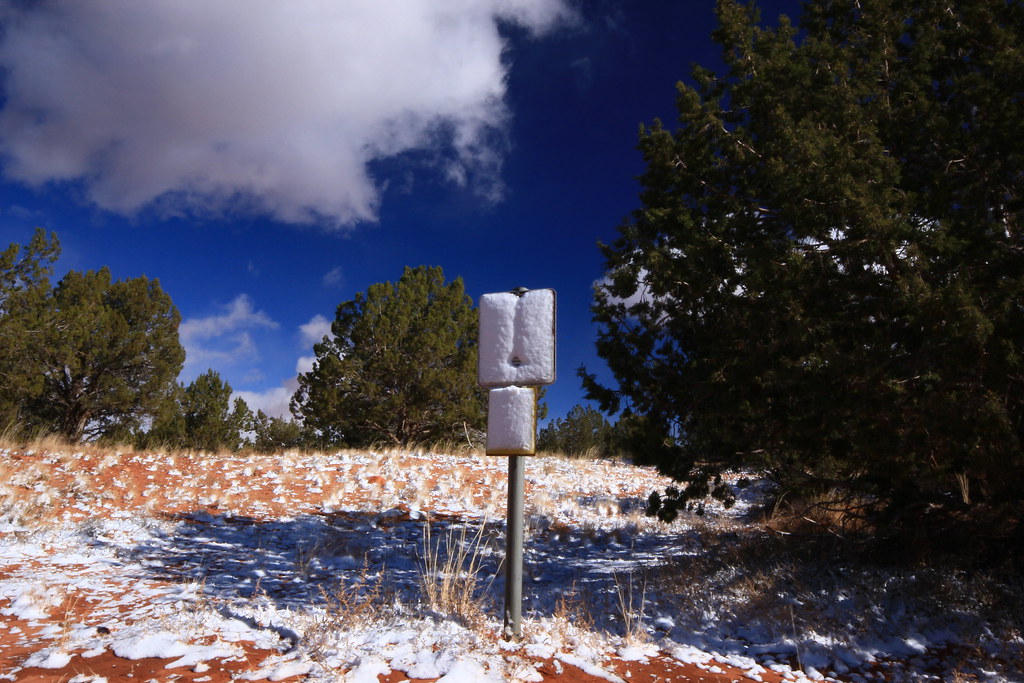
Whiteout

After the turnoff, it was another 15 miles of some VERY soft sand and the typical lumpy bumpy ride. And not a moment too soon I was at the TH of the White Pocket. Nothing spectacular was immediately in view, but after a short hike, that was all about to change.
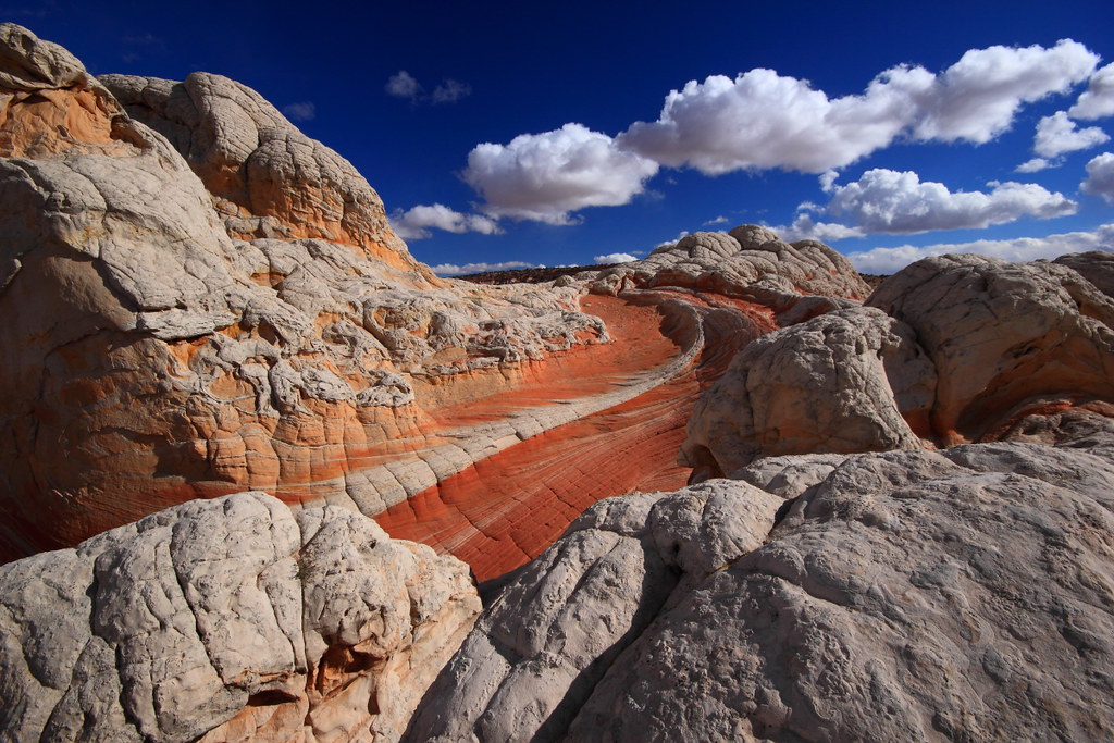
White spine

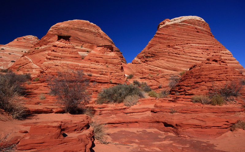
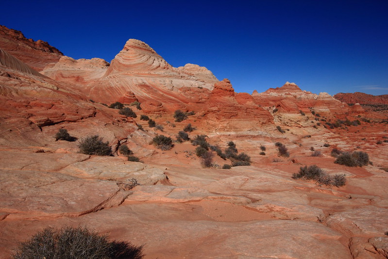
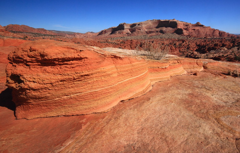
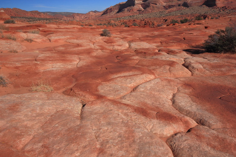
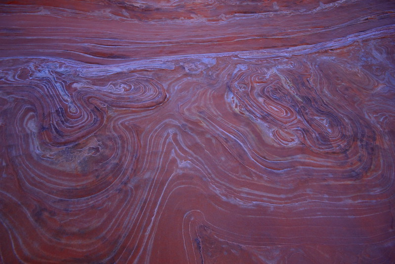
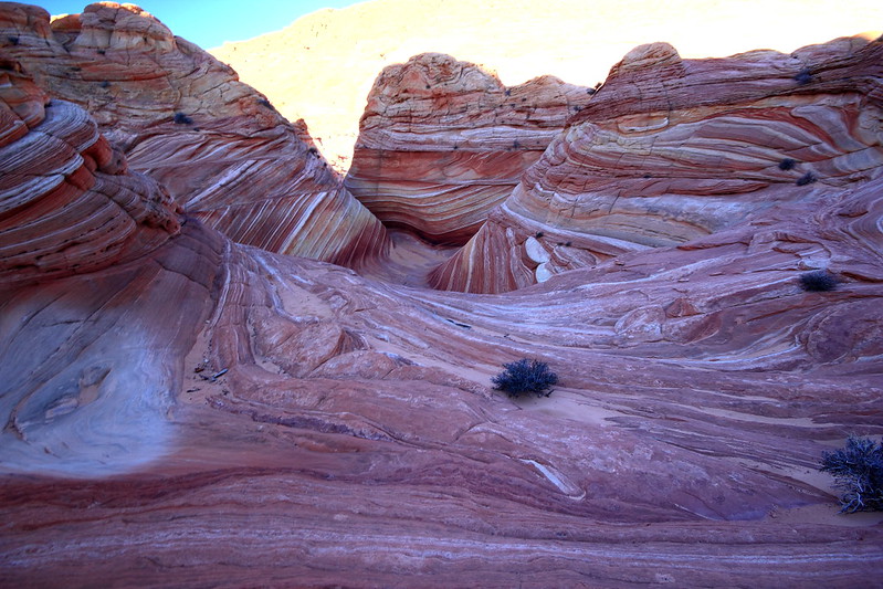
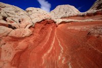
Incredible colors and convoluted formations
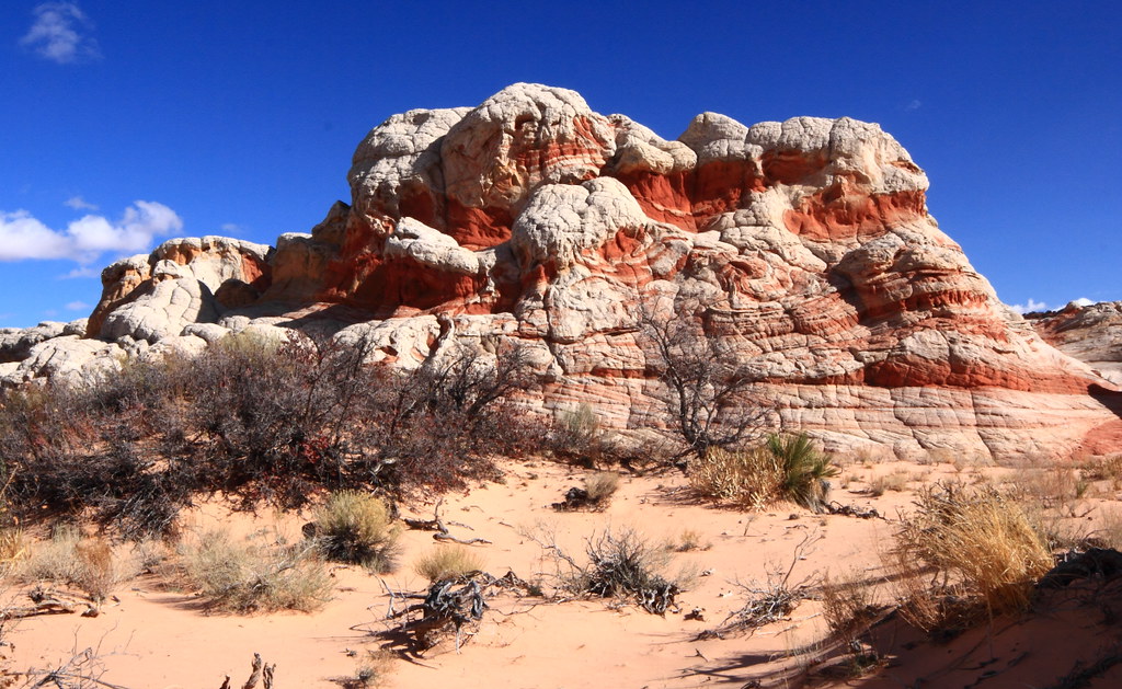
Sand & jumble
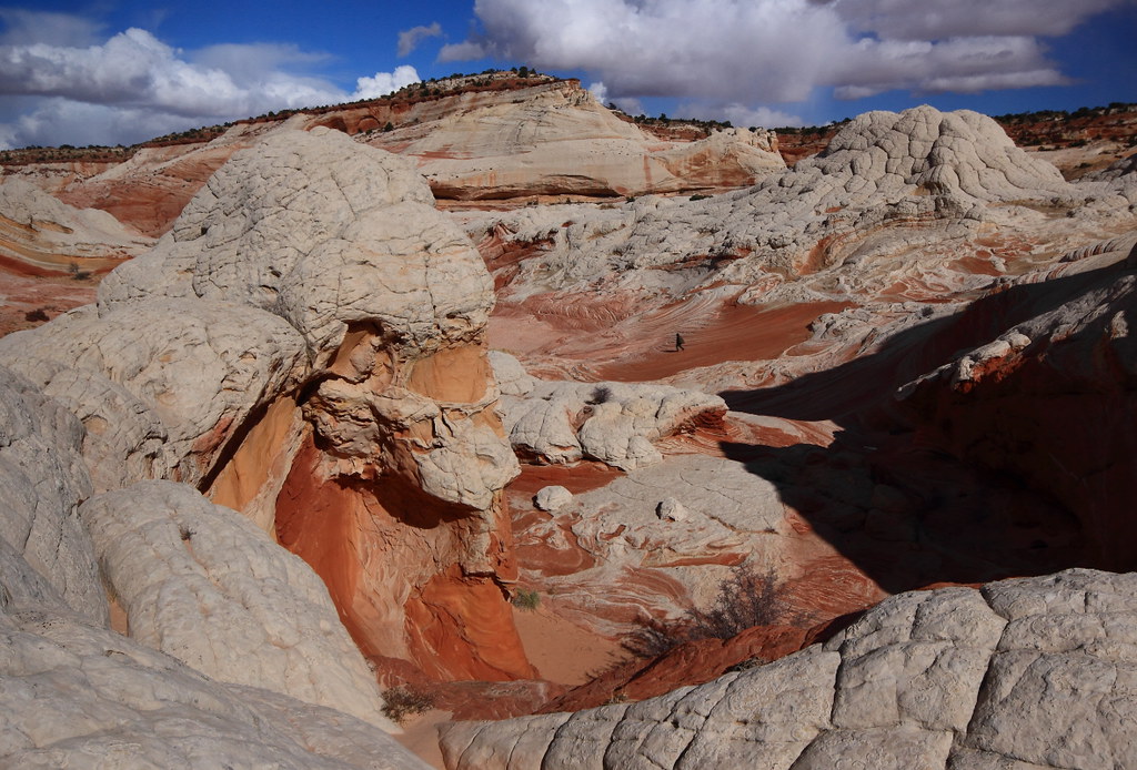

Find the hiker
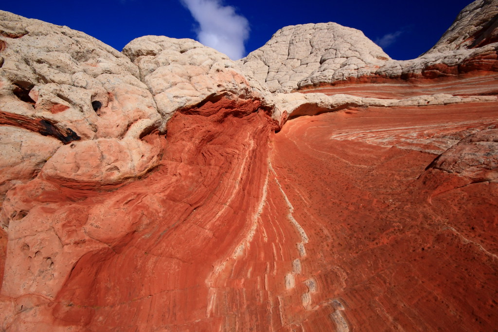

Hot rock
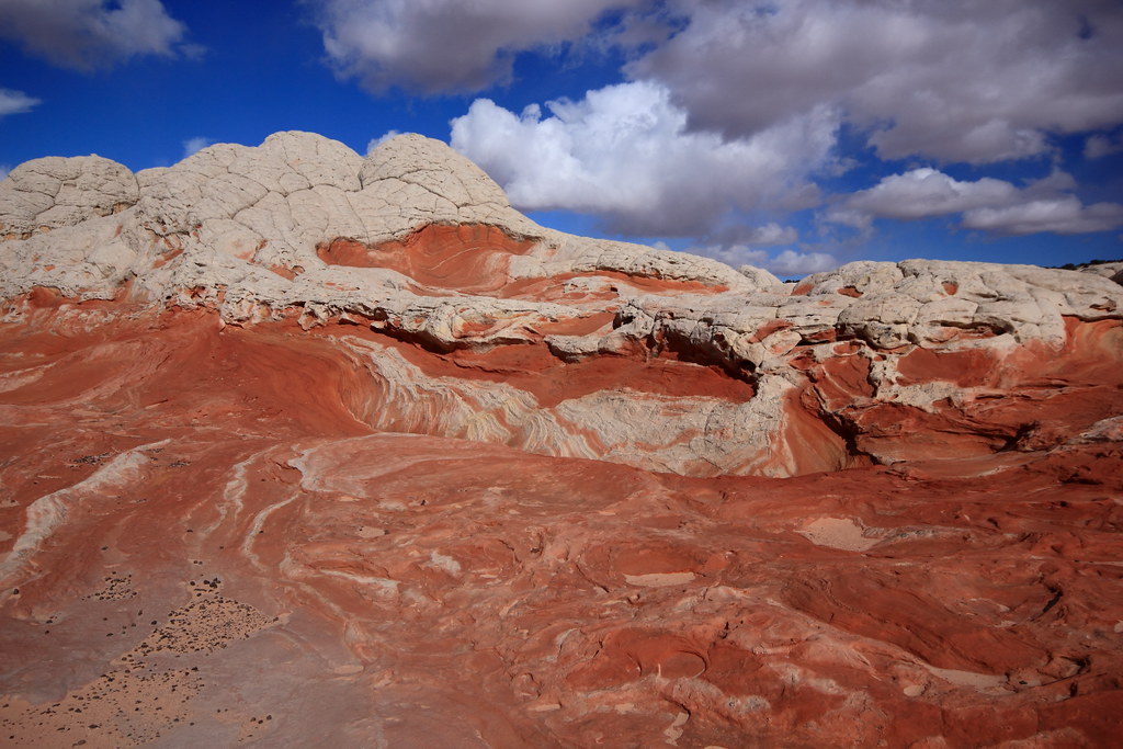

Perfect storm
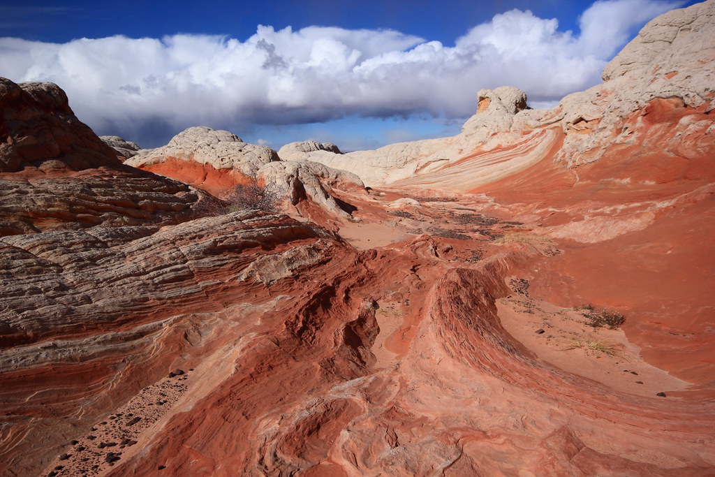

Turbulant
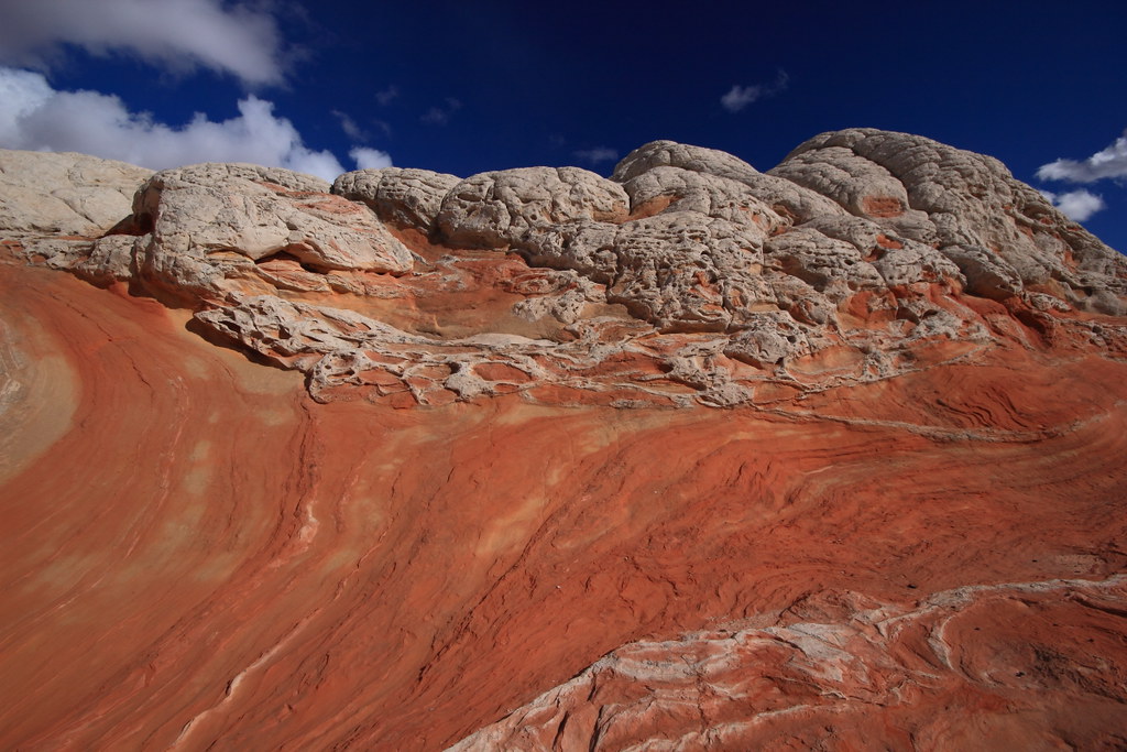

Y lava flow
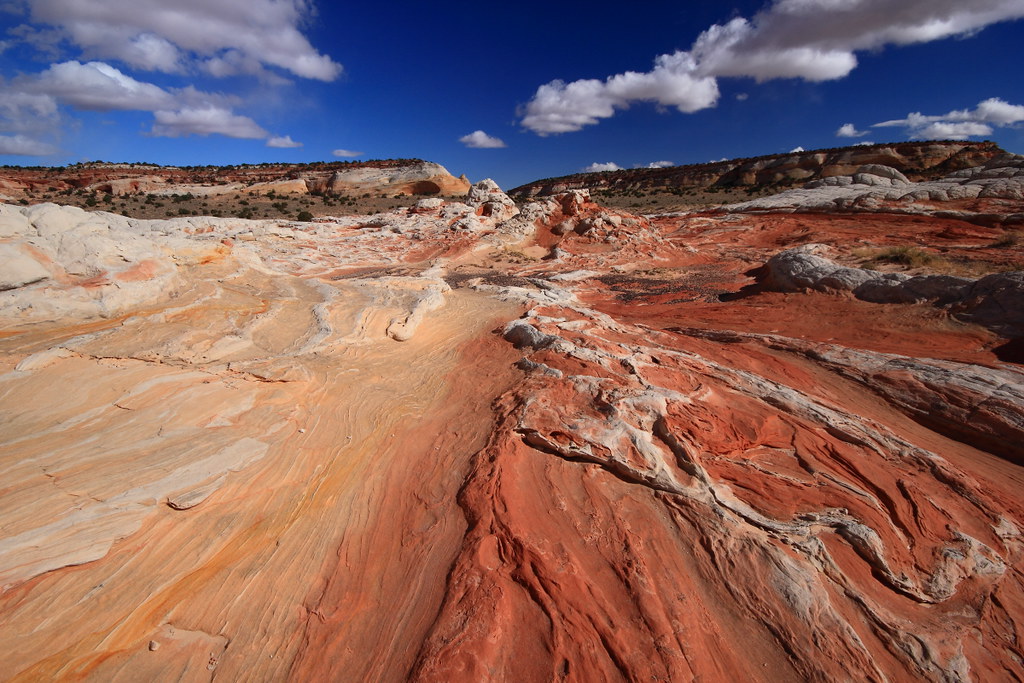

White & red river url=http://www.flickr.com/people/48704243@N03/]
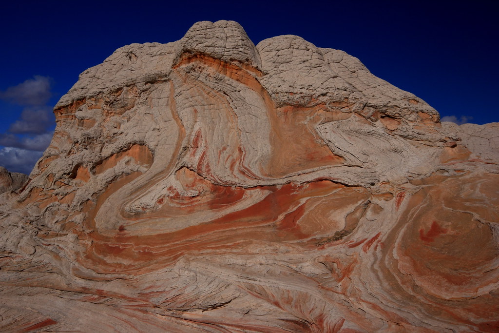

Mustard & Ketsup
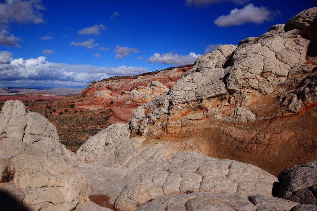

Valley view

It wasn't all about the red though. These were very interesting:
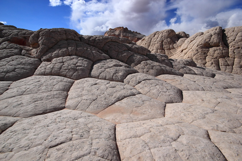
Mashed potatos I

After a couple hours of absorbing this grandeur, it was time to thaw out and head back to Page. On the way back I noticed Randy's Jeep was still there, so I added a comment to the note I left earlier that morning that I was heading back to Page.

Day two: Alstrom Point........ to be continued

Featured image for home page:
slide.jpg
 
How lucky to be there for the snow! I was in Kanab that day and had a pass for The Wave on November 13 but decided to go to Zion instead. Looking forward to the next installment!
 
Nice TR! Some beautiful pictures of one crazy place. I think White Pocket is one of the coolest places anywhere on the planet. I'm hoping our next visit will be an overniter, to get the morning and evening colors.
Lot of driving back and forth from Page. I guess a little too chilly for camping at Stateline.
 
Very cold and windy this day, but excellent conditions for photography :)

You updated the note on my Jeep about 15 minutes before we returned, so we just missed you.
 
The next day I headed to Alstrom Point. My map route #'s and the actual ones posted don't match, but as long as you keep track of your direction of travel and and approximate distance between turns it's not a problem.

The road starts paved and then turns to a wide graded county road and progressively turns into a 2 track and then about a mile + before the end, 4wd is helpful.

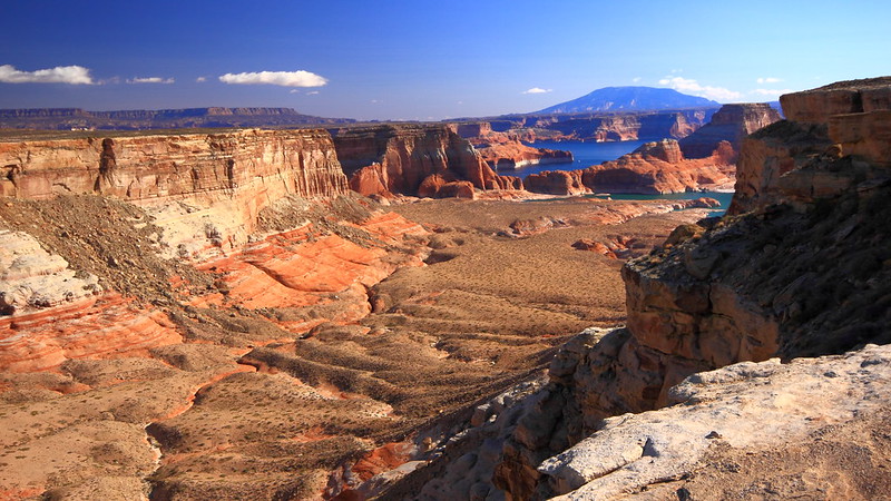
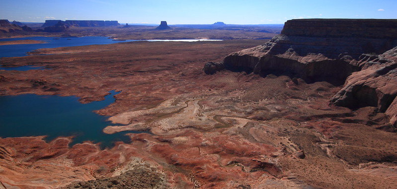
A few miles before the end you get your first glimps of Lake Powell....
Valley

The road before the end gets a little faint in places, but paying attention to occasional faint tire tracks across slickrock sections you'll have no problem.

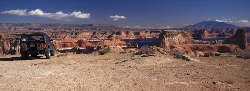
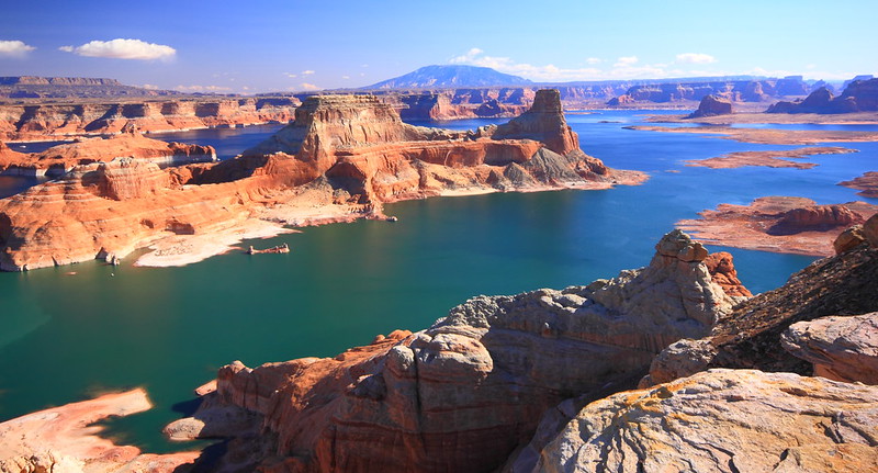
There's some photo ops before you get to the end, but the end is the has the most bang for the buck.
Jeep view

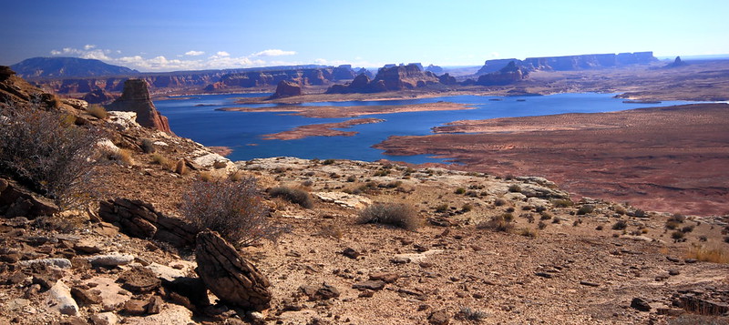
Lake view by

View forever
Swirly view

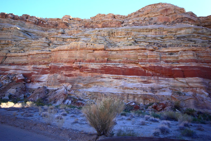
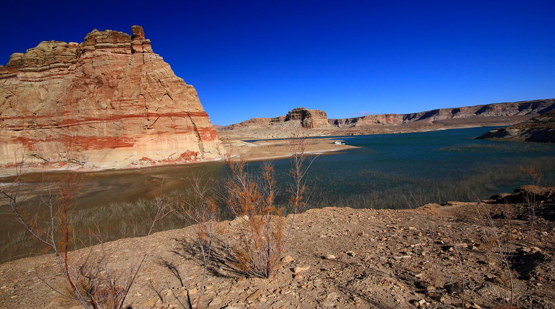
On the way back, I took a little side road called Crosby Canyon.
Red band

Red tops

Alcove view

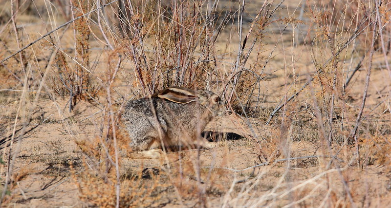
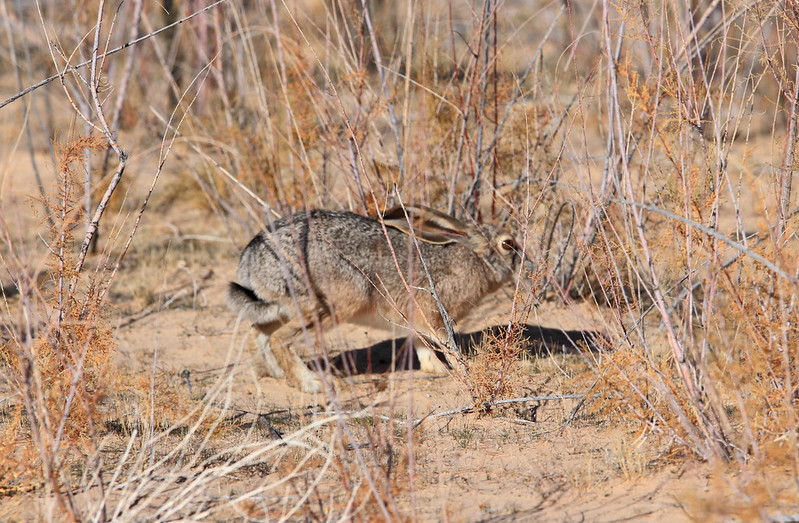
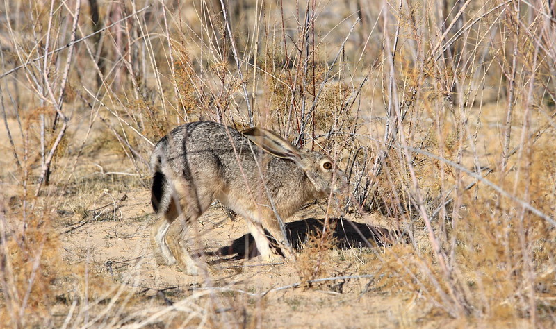
As I was walking toward the beach, I noticed this Jack Rabbit in front of me. He almost acted like "what are you doing on my turf". He eventually moved about 10 ft., but always kept an eye on me.
Ready


Set

Go

I did a little exploring and found the road continues for quite a ways but decided to head back. The road is somewhat new due to the low water level, so I wasn't sure if it was just a renegade or viable route.

As I was exiting the canyon, I saw a coyote running ahead of me on the road and not ducking out of the way. He eventually disappeared but I think it was because he almost ran head on onto a vehicle coming down the canyon.

The Wave.................... stay tuned
 
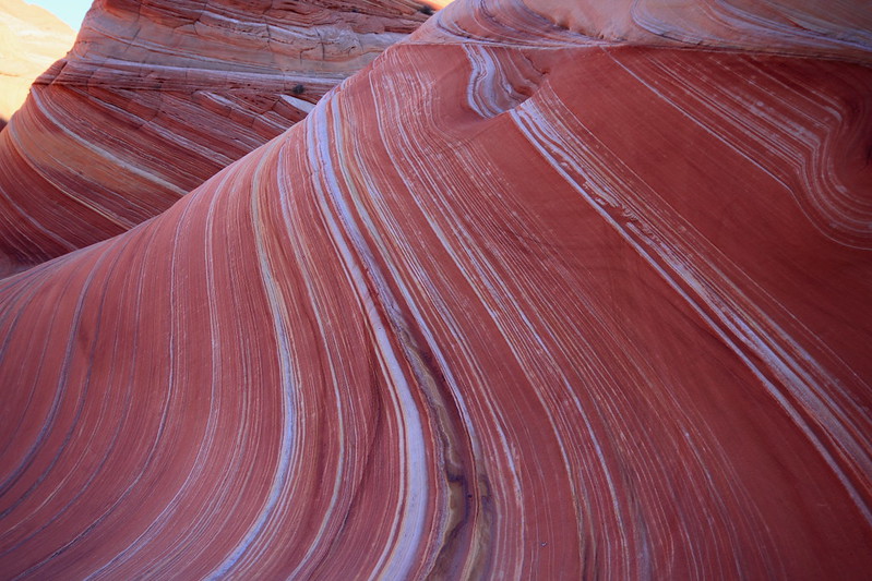
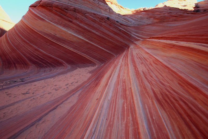
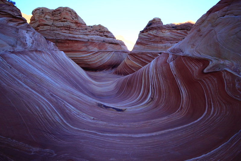
Last but not least..........The Wave
I arrived at the parking area about 7:30am. The temperature was well below freezing but as the sun crested it started warming up nicely. At least the wind had subsided and the sky was clear with only a few scattered clouds.
The hike along the way was like going to NYC and looking at the tall buildings.
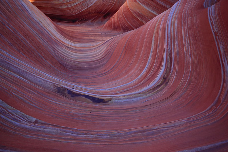
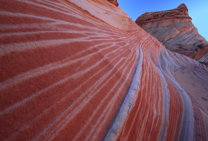
After climbing a steep sand hill, I was finally at the "entrance" to The Wave
Knarly
Purdy!
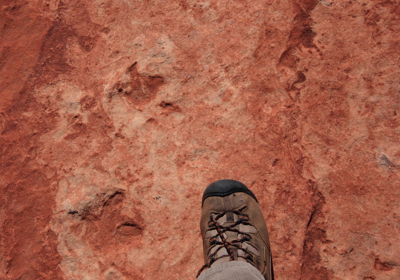
As I was returning to the TH, I found these small dino tracks
I wanted to spend more time but the sun was now throwing shadows across the landscape and made the photo op less desirable. I also had planned to make this more of a recon hike so I could plan a more detailed photo session in the future. I also wanted to get back home before dark (which didn't happen).
It was a great 4 days and look forward to spending more time in this area!
 
Nice trip! That is the way to sandwich a few days in around a Wave permit. :twothumbs:
If it works out this spring, I hope to have a S Coyote permit and plan on checking out a few other Sandhill highlights. Will probably camp down there. Beautiful report!
 
Thanks all for your kind words. It's an awesome area. As with many of my adventures, it's about the hunt as well as the "kill" !
 
Similar threads
Thread starter Title Forum Replies Date
Janice The Wave - and SO MUCH MORE! (Coyote Buttes North, South, White Pocket, Buckskin, Condors, Bighorns...) - Part 1 Hiking & Camping 14
jdgibney The Wave/White Pocket Fri Oct 12 permits for a ride? Trip Planning 1
rhubarrbb White Pocket - Lone Tree Road / Southern Road Trip Planning 3
Janice Vermillion Cliffs Trip - Part 2 - White Pocket & Coyote Buttes South Hiking & Camping 7
J Great to be here! Heading to White Pocket next month... Noobs: Introduce yourself! 8
D South Coyote Buttes. We are going to put in at Lone Tree Reservoir because we don't have 4wd but we want to make it to White Pocket. Trip Planning 30
pixie1339 White Pocket, South Coyote Buttes Advice Trip Planning 11
P Invite White Pocket mid August Meet Up (Members Only) 4
Dirkules White Pocket to CBS Trip Planning 5
C white pocket hike, South Coyote Buttes Trip Planning 16
John Fowler White Pocket, Coyote Buttes, and Toprock Hiking & Camping 12
D Late March 2013 trip to White Pocket, North and South Coyote Buttes Hiking & Camping 2
Bill White Pocket 10.2012 Hiking & Camping 7
IntrepidXJ An Evening at The White Pocket Hiking & Camping 14
Bill White Pocket Access... Trip Planning 4
IntrepidXJ The White Pocket Hiking & Camping 4
John Fowler White Pocket 360 Photography 3
Nick White Pocket, January 2011 Hiking & Camping 3
Seldom Seen Anderson White Pocket Hiking & Camping 13
Writhdar Day hikes in the White Clouds and Lost River Range Hiking & Camping 1
LarryBoy Is there anything technical in White Canyon above the Black Hole? Trip Planning 16
NorthwestWanderer Backpacking Idaho's Cecil D. Andrus-White Clouds Wilderness : O'Calkens Lake & Bighorn Basin Backpacking 2
D White Rim Road Off Road 2
Parma White Rim Road FKT General Discussion 4
IntrepidXJ Diane’s Birthday Ride on the White Rim Trail Everything Else 3
Dhuff3243 Robbers Roost/White Roost Trip Planning 1
Nick Who wants to have 2 nights at White Crack in March? General Discussion 0
Parma Idaho's White Cloud Mountains - Boulder Chain Lakes - Chamberlain Basin Backpacking 8
misSOULa Six days in the Bob Marshall Wilderness: The Chinese Wall and White River Backpacking 15
Ugly Another Friday Night... White Winter Sports 7
fossana solo white rim day trip on the dual sport Off Road 11
S Two weeks in the White Clouds, Idaho, July 2018 Backpacking 6
MVS White Rim Side Roads Trip Planning 4
RyanP White Rim Road vehicle/difficulty questions Trip Planning 8
Ugly Saturday in Black and White, with a smudge of Green Hiking & Camping 3
J White Cloud Route. 2018 June 22 Trip Planning 3
Glasterpiece White Sands NM General Discussion 9
Vegan.Hiker White Mountain National Forest (Eisenhower, Pierce, Jackson) - May 2018 Backpacking 15
Ugly Mill D - Fresh White Milkshake Covered Desolation Winter Sports 15
MVS White Rim General Discussion 10
Nanda White rim in March Trip Planning 3
Nick White Canyon Tributaries Trip Planning 3
George_Washington_Hayduke White Roost Canyons (east and west forks) & North Fork of Robbers Roost Canyon Canyoneering 3
powderglut Toadstools and Hoodoos in the White Rock Valley Hiking & Camping 8
Rockskipper White moose in Sweden General Discussion 2
S White Cloud route, Big Boulder Lakes to Boulder Chain Lakes Trip Planning 3
Eugene Paria Canyon from White House to Big Spring Backpacking 3
George_Washington_Hayduke Clearwater Canyon, Black Hole of White Canyon, Dark Canyon, Swett Canyon "Packraftoneering" Canyoneering 6
DrNed White River In Colorado Trip Planning 6
isleroyaleguy White Clouds maps? Trip Planning 4

Similar threads

Back
Top