- Joined
- Dec 23, 2013
- Messages
- 4,114
This report is a complement to @Bob's wonderful write-up Teton Wilderness - 50 Miles of High Country.
Originally this was supposed to be a trip to the Beartooths, where we had hoped to complete a lollipop loop into the teeth of the Tooths so to speak. Unfortunately, mother nature had other ideas with the flooding and subsequent damage that cut off access to Cooke City through the Park. We turned to option number 2, the Teton Wilderness.
The loop was roughly fifty miles in length, though with Bob's back and forth along the ridges we may have done closer to sixty. No, Bob was our navigator, and he did a tremendous job - other than the horse trails from hell that is.
  He kept me from wandering down a few unnamed drainages, which isn't an easy thing to do.
This is our story:
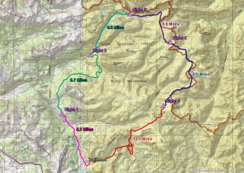
Trip overview map
Day 1 - Dunoir Trail Trailhead to ridge above Trail Creek - 5.7 Miles
Before we get to the trail, lets chat about the ride up to Jackson and beyond.
The forecast for the area, according to @Rockskipper, was for rain and more rain. Wonderful!
As I exited onto Highway 89 south of Willard, Utah, I could tell that it had been raining earlier. When I made my way up Sardine Canyon, the rain began in earnest, and by the time I hit Logan, it was coming down hard. My wiper blades on the Sube could barely keep up with it. Once in Logan Canyon, the force subsided some, but I had rain all the way to Jackson, where I was to meet Bob for lunch at Big Hole BBQ. After downing a couple of pulled pork sandwiches while watching it rain, we took off for our trailhead just east of Brooks Lake.
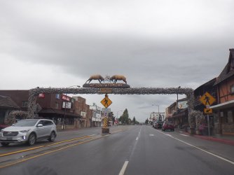
Afton, Wyoming
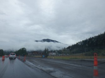
Alpine, Wyoming - no let up in the precipitation
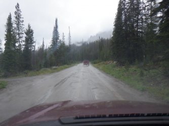
On the Forest Service Road to Brooks Lake - Bob in the lead.
Arriving at the trailhead, we caught a break as the steady rain became just a drizzle, and then stopping before we headed down the trail.
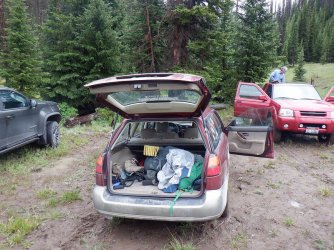
Getting ready in the mud at the trailhead
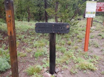
Signage at the trailhead. We'd finish up on this trail in six days, but for now we would be heading in the opposite direction.
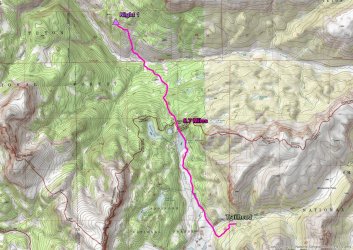
Day 1 overview map.
While it had stopped raining, the trail was a muddy mess as we headed west towards the meadows along Brooks Lake. To make matters worse, a horse train had just passed to beat up the trail extra good for us.
A bad picture, but that is a mule looking down at us. It was part of the horse train that came up the trail just before we went down. Besides, an out-of-focus mule beats an in-focus Scatman any day!
It became apparent pretty early on that this was going to be slow slog. The mud was sticking to our shoes/boots with every step. Slipping and sliding was the name of the game this afternoon and evening.
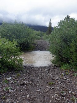
Our first ford, Bonneville Creek
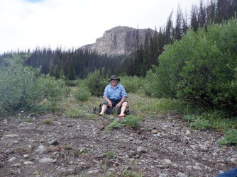
Bob, contemplating a future of mud, with unnamed peak 10681 in the distance
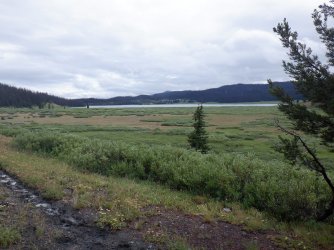
Looking back to the south towards Brooks Lake and surrounding meadows
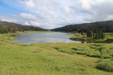
Some blue sky at Upper Brooks Lake. Don't worry, it won't last.
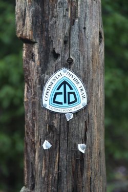
Part of the CDT at this point
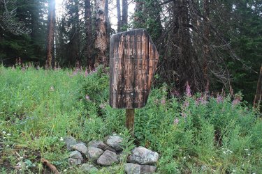
Reaching the Wilderness Boundary
Deer were plentiful the first three days
A couple more further up the trail
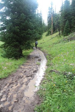
Typical trail conditions on Day 1
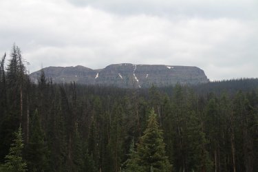
Beautiful scenery
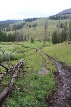
Bob hanging in there like the trooper he is.
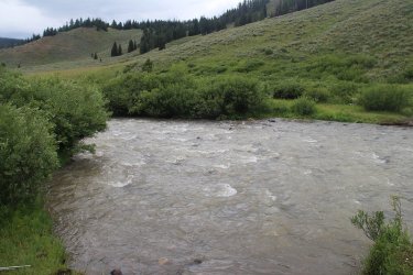
Cub Creek. Just after fording this, and beginning to climb the ridge, it began to rain
While our original plan was to reach Trail Creek for the night, we ended up camping high on the ridge due to darkness setting in
and it just pouring rain.
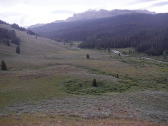
Making our way up the ridge, looking down on Cub Creek, with Breccia Peak above
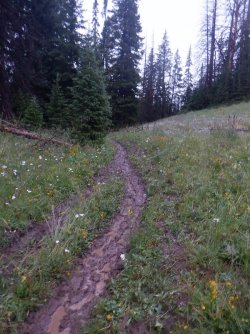
Aargh! Tough hill in the mud.
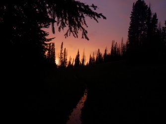
Beautiful sunset on and off the trail. This was near where we called it quits for the day. We set up camp and ate our supper in the
rain.
Day 2 - Ridge above Trail Creek to Lake Creek and Pendegraft Meadow - 9.7 Miles
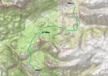
Day 2 overview map
It rained off and on throughout the night, but by the time we woke the next morning it had stopped and was replaced by mostly blue skies. Now while it had stopped raining, that didn't mean that the trail was in any better condition than it was on day one - still just a muddy mess. Because we had come up short on our campsite the previous day, we had to add about a mile and a half to today's mileage. Also, we had to make our way down to Trail Creek to eat our breakfast, because I didn't have any water left after dinner on the ridge the night before.
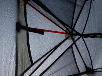
Top of my tent on the morning of day two
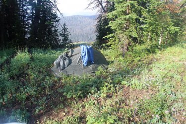
Bob is trying to dry some clothes
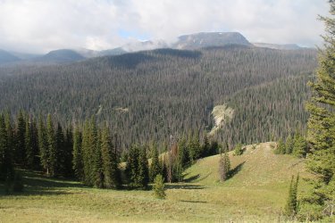
The sun is out! Hallelujah!
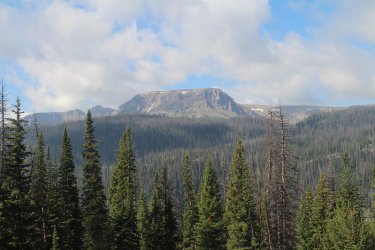
Simpson Peaks
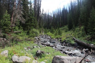
Trail Creek. Breakfast time!
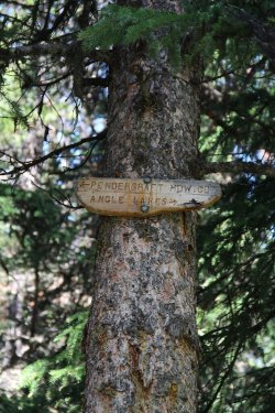
We're taking the Angle Lakes route
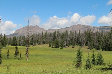
Smokehouse Mountain
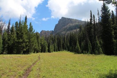
Unnamed peak 10350
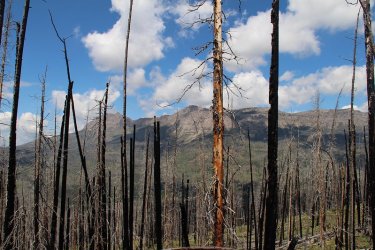
We hit a stretch of burn as we made our way to South Buffalo Fork. Smokehouse Mountain in the distance dominated our day
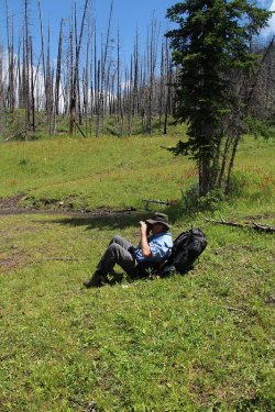
Bob getting a good shot
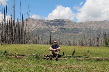
Scatman enjoying the weather.
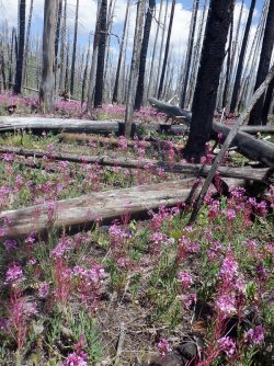
Fireweed was prevalent along this stretch, and beautiful too.
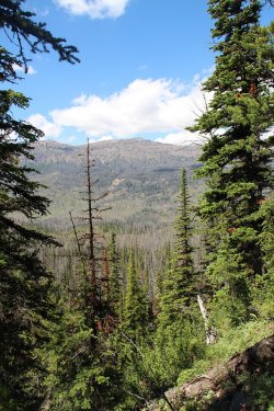
A look across the South Buffalo Fork Drainage
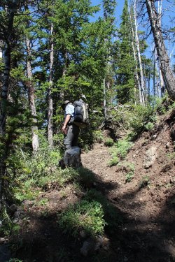
The muddy trail I fell on. A steep son of a gun! Bob had no trouble with it though.
He is half mountain goat you know.
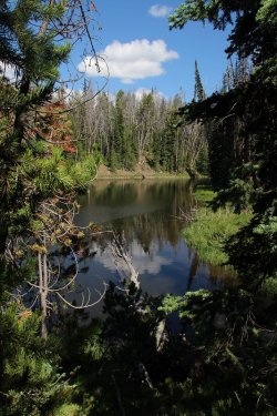
Rainbow Lake
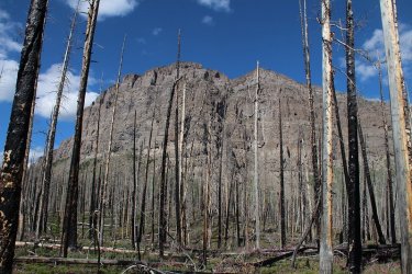
Nearing the ford of the South Buffalo Fork. Looking up towards Pendergaft Peak
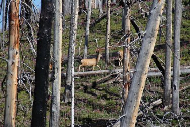
More deer in the burn
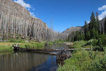
South Buffalo Fork, looking east
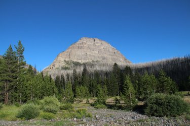
Making our way to Lake Creek, looking up towards Pendergraft Peak, though the peak itself is not visible at this angle.
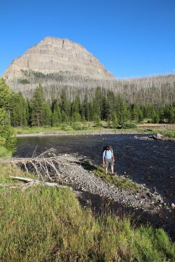
Bob, just about across Lake Creek
Day 3 - Lake Creek to ridge above Lost Creek - 6.6 Miles
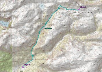
Day 3 overview map
Day three was an uphill affair. Packing up after breakfast, we began to work our way up along Lake Creek and into the high country. Trail conditions were improving, though some shady sections of the trail still had mud issues. But overall it was nice to have some solid footing for a change. While the wildflowers were special throughout our trip, the section along Lake Creek was especially nice. I couldn't keep up with Bob due to my constant picture taking up small side drainages just loaded with wildflowers.
After reaching the headwaters of Lake Creek and the trail intersection with Ferry Lake, We chose to head east and camp up above Lost Creek. We had originally intended to head up and over the ridge and then drop down into the South Fork of the Yellowstone, but two straight mud days and a third all uphill day had taken it out of us, so we chose easy instead.
We had a nice spring close to where we chose our campsite, and the water was so clear that my Steripen wouldn't work in it.
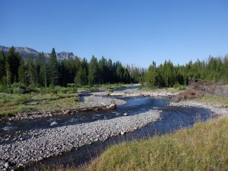
Morning on Lake Creek
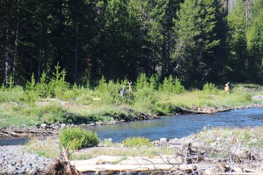
Watching deer while eating breakfast
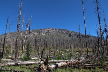
Unnamed peak 10375 as we begin our climb out of the South Buffalo Fork Drainage
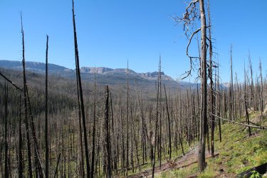
View looking back at the way we dropped into the drainage the day before
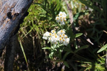
Pussytoes
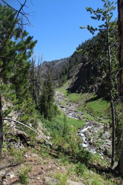
Lake Creek below
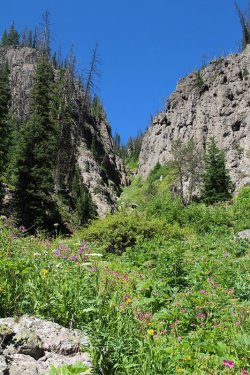
Side canyons were loaded with wildflowers
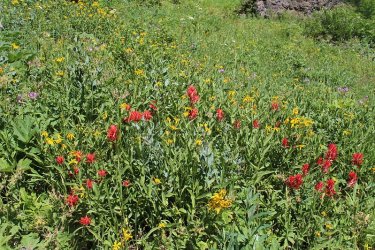
Paintbrush, arnica and pink geraniums
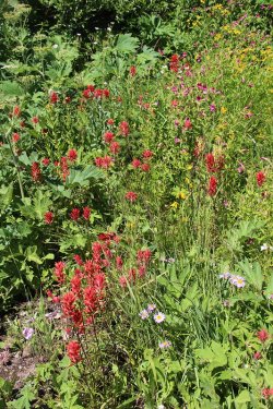
Some aster, paintbrush and monkey flower
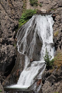
Lake Fork Falls. We met a group from Wyoming Catholic College while at the falls. More
on them later.
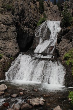
Another shot of the falls
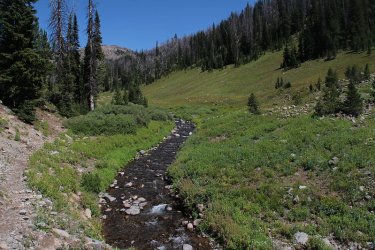
Heading into the upper reaches of Lake Creek
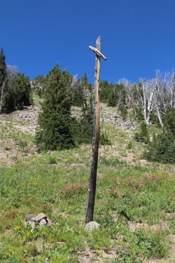
Signpost - left to Ferry Lake, right to Marston Pass
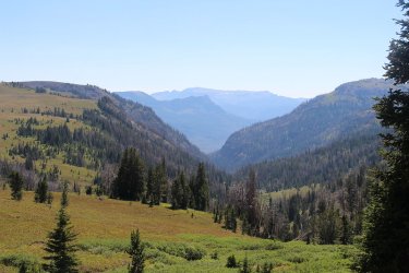
View to the south down the Lost Creek Drainage
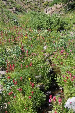
More wildflowers heading east
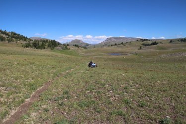
Bob enjoying the view. Peak 10962 in the distance
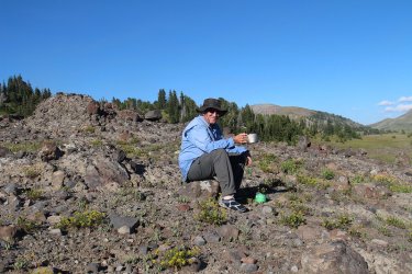
Enjoying dinner up above Lost Creek
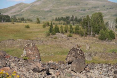
Company while eating.
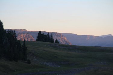
Sunset arrives at Lost Creek
Day 4 - Ridge above Lost Creek to a tributary of Turner Fork - 5.8 Miles
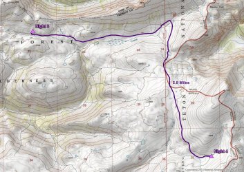
Day 4 overview map
On day four, we would continue east along Lost Creek before beginning our off-trail portion of the trip. Originally, we had planned on staying at an unnamed lake for night 4, but when we arrived at the lake, we ran into a second group from Wyoming Catholic College who where camped there on an off day for them. It turns out that if you enroll at the school, you are required to do a twenty one day backpacking trip through the Teton Wilderness. They would be resupplied twice in the twenty one days. Wow! Where was this opportunity when I went to school? They also had the fortune of watching a sow with her cubs pass by the lake earlier in the morning.
After chatting with members of the group, we had a nice steep climb out of the lake and onto the ridge, where we contoured around to our next campsite. Once up high, the views were tremendous.
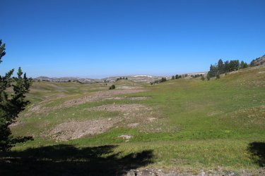
Morning on Lost Creek, looking west
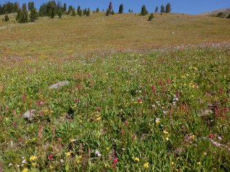
Meadow full of wildflowers along Lost Creek
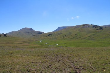
Lost Creek out ahead. We are getting close to leaving the trail and heading south
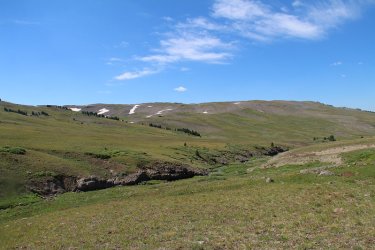
Leaving the trail, destination straight ahead
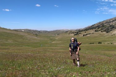
Lost Creek Meadows, heading now towards unnamed lake
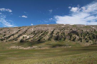
View to the north. The South Fork of the Yellowstone is on the other side of the ridge.
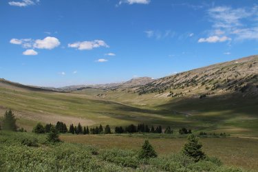
Another shot down Lost Creek
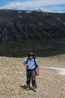
Bob and Younts Peak poking its head above the ridge
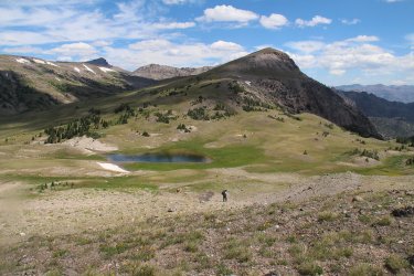
Leaving the unnamed lake and the Wyoming Catholic College students behind, with unnamed peak 10692, and Thorofare Mountain
in the far distance, and of course Bob soaking it all in.
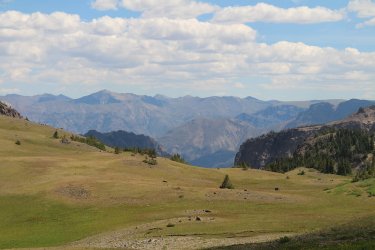
A peek into the Washakie Wilderness
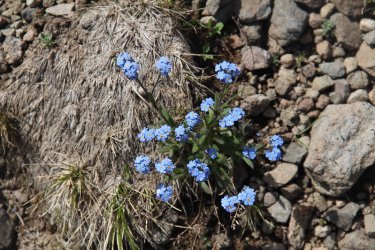
Alpine forget-me-nots
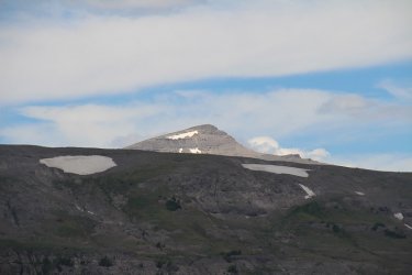
Younts Peak to the north. Younts would become a beacon for the next couple of days.
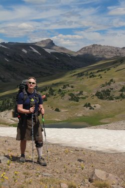
Me with Thorofare Mountain in the distance
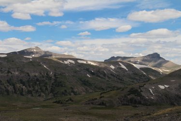
Younts and Thorofare
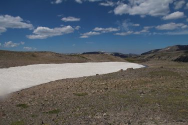
Alpine tundra
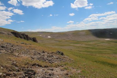
The view ahead
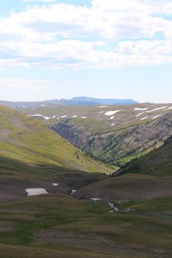
View down into the Turner Fork Drainage. You need to study this @TractorDoc.
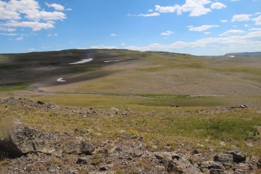
Tributary of Turner Fork that we will call home for the night
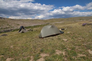
Our tent sites on the tributary of Turner Fork
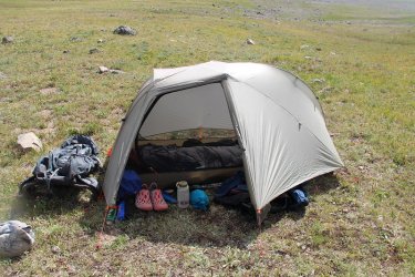
A look inside the Scat tent.
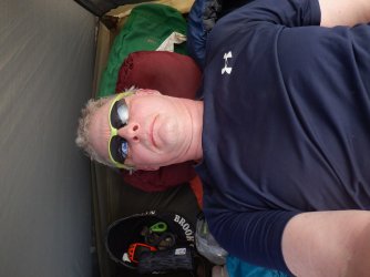
A look at Scat inside the tent.
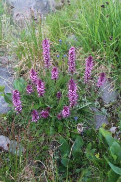
Elephant heads on the tundra
Day 5 - Tributary of Turner Fork to unnamed pond on west side of Crescent Mountain - 8.0 Miles
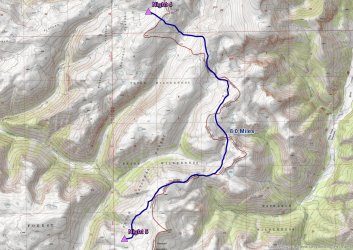
Day 5 overview map
A lot of up and down to day five's itinerary. This is the day that Bob tried to kill off the Scatman, but somehow I persevered. When we woke up and ate our breakfast, we had some company on the ridge to the south of us as a herd of elk watched us watching them. Eventually they moved on, and we began our day by climbing to the top of the ridge, before dropping down into the headwaters of a tributary of Marston Creek. Of course, once you're down in the valley, you've got to head up the next ridge, and that is exactly what we did. This is known as "The Way of Bob."
While we could see the east side of Crescent Mountain off in the distance, it seemed like it took forever to get there. All the time, we had great views over into the Washakie, and pretty good ones in the Teton Wilderness too. This is also the stretch where we ran into some old trails - some good, some not so much.
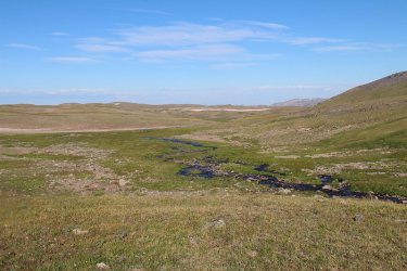
Morning on the tributary of Turner Fork
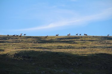
Always enjoy company for breakfast
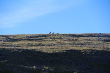
Couple of bulls as they are leaving
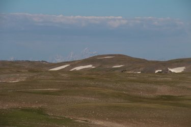
Grand Teton if you can see it.
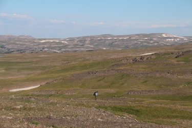
He was born for this country.
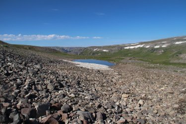
A little tarn along our way
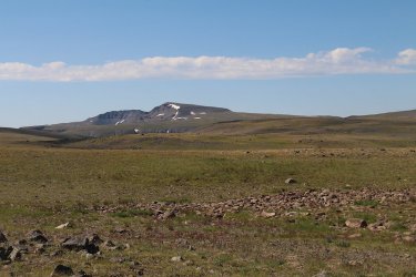
Oh yeah, there is Crescent Mountain! it will only take us about eight hours to get there.
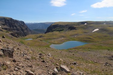
Another unnamed pond. Looking down the Bliss Creek Drainage
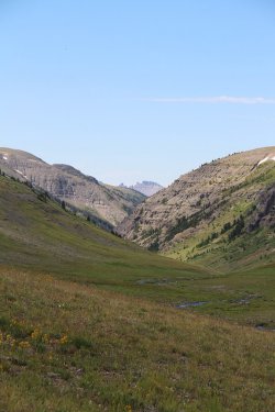
Headwaters of a tributary of South Buffalo Fork
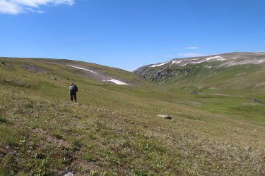
Staying up high for now on this one
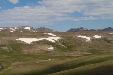
A look back at Younts and some of the ground we have covered.
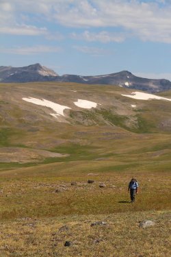
Beautiful!
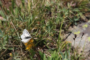
A butterfly in the high country
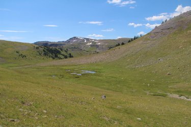
Another tributary of the South Buffalo Fork that we are going to work our way down. Crescent Mountain in the distance.
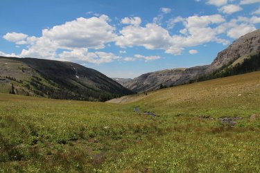
Still working our way down the tributary
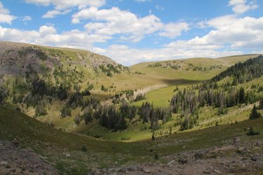
Making our way back up to the saddle, looking back on the headwaters of the tributary and the way we had come. Nasty horse
trail ahead!
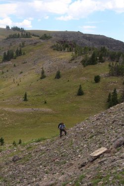
Bob, making his way over to the horse trail from hell.
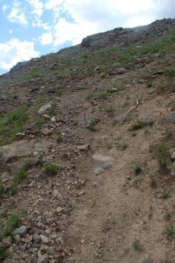
The steepest horse trail I have ever been on. That moniker would only last one
day though.
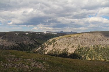
Back up on top of the ridge looking into the South Fork of the Buffalo
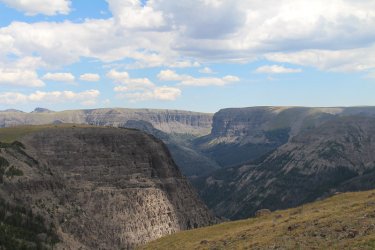
Looking over into the Washakie Wilderness and the Crescent Creek Drainage
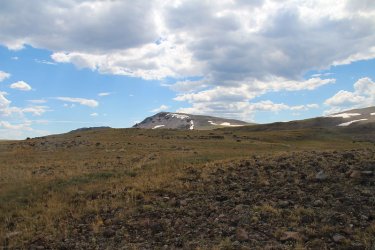
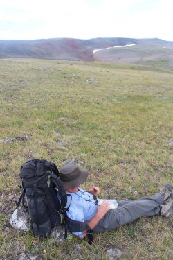
Crescent Mountain is getting close!
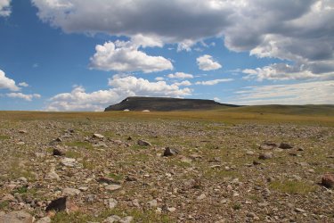
And even closer
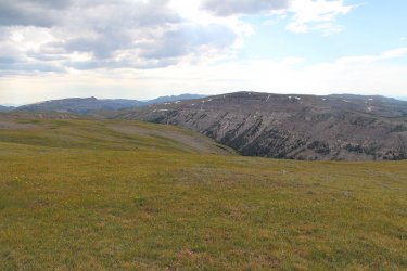
View down into the headwaters of the South Buffalo Fork, with the Cub Creek Drainage beyond
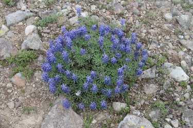
Lupine was plentiful up top
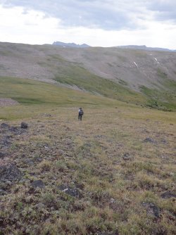
On the west side of Crescent Mountain now. Next stop is camp.
The unnamed pond (our camp for the night) is just up on that next ridge.
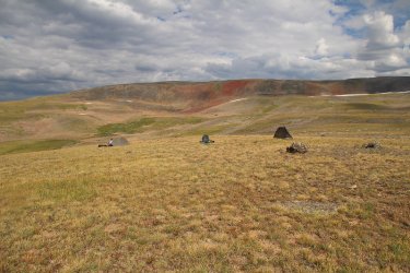
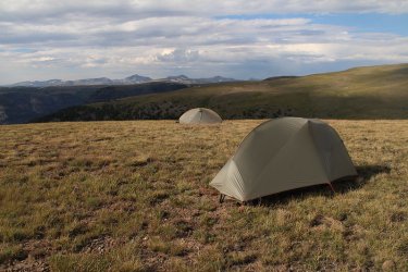
Camp number five on the west side of Crescent Mountain
I had to get a shot with Younts Peak and Thorofare Mountain in it. They are the two peaks way off in the distance.
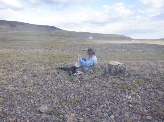
Dinner time!
Now since we were camped near a pond, and it being our water source, Bob got a kick out of my unfiltered water with mosquito larva swimming around in my water bottle. Pure protein I say.
Day 6 - Unnamed pond on west side of Crescent Mountain to the Dunoir Trail Trailhead and our vehicles - 11.3 Miles
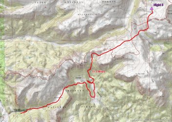
Day 6 overview map
I woke up in the night to a steady drizzle on my tent. Great! We are going to have to hike out in rain and mud just like our first day coming in. Fortunately for us the rain stopped around 6:00 am and we were good to go.
Now we were going to follow the ridge out, and then drop down to the meadow west of Bonneville Pass, and follow the maintained trail for a couple of miles back to the trailhead. But once we dropped off to the saddle of our second ridge, we had a choice to make. We could either follow our original plan, or we could drop down to Dundee Meadows and pick up the trail at the south end of the meadows and take it up and over Bonneville Pass and out. Well, we chose the latter and had to find a way to get down to the meadows. This would include the absolute worst horse trail I have been on, supplanting the one from the day before. It essentially went straight down a cliff for a good piece. Once we survived that, we had to find the trail which kind of turned into a bit of a circus, but we eventually found it. It was then a steep climb over Bonneville Pass to the meadow, which was beautiful by the way, and then downhill to our awaiting vehicles.
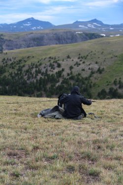
Bob (ready for rain) taking down his tent, with Younts and Thorofare in the distance.
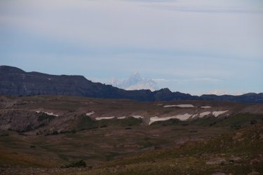
Another shot of the Grand
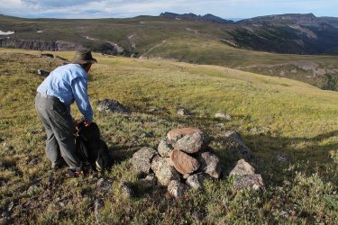
Grabbing his camera to take a picture
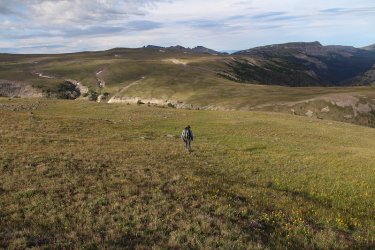
Heading off the ridge with the next ridge out in front of us. Perry N. Boday Creek Drainage to Bob's left, and the Cub Creek Drainage
in the distance to his upper right.
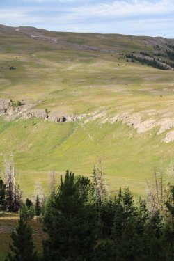
See the horse trail ahead climbing the next ridge? That's what we are shooting for.
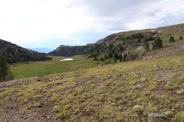
Climbing the next ridge and looking back on the ridge we just dropped off of. Headwaters of South Buffalo Fork below.
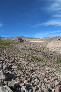
The rocky road ahead, or perhaps the Rocky Road to Dublin!
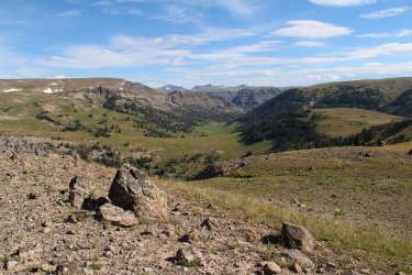
Looking down into the Cub Creek Drainage
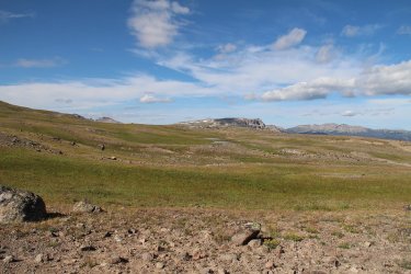
A little peek at the high point of the next ridge we were supposed to climb. The unnamed peak is over 11,000 feet in elevation.
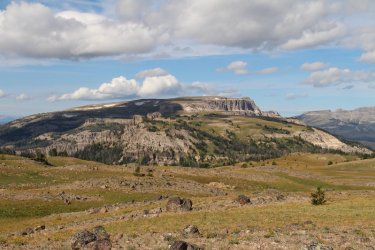
Starting our descent to the saddle between ridges
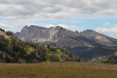
Looking over towards Pinnacle Buttes
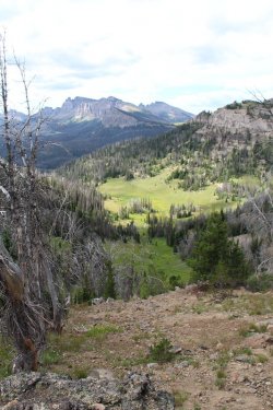
Decision Time! Drop down to the meadows or climb back up the next ridge? What
would you choose?
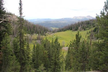
Dropping down to the first meadow. The south end of the distant meadow is what we are shooting for.
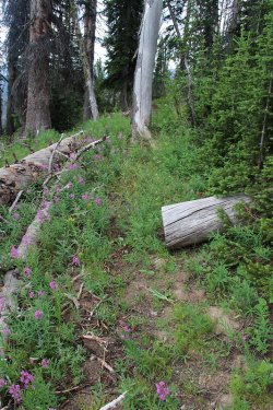
What is this? An old horse trial perhaps?

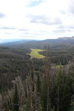
Still a ways and a drop to the main meadow.
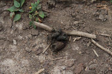
Ooh, bear scat on the old horse trail.
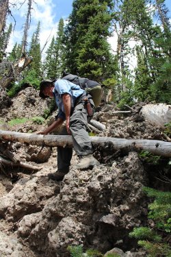
Turned into the horse trail from hell. Bob coming straight down of a cliff, doing his best
mountain goat impersonation. They must have been some tough old cowboys back in
the day to use this trail. My hats off to them.
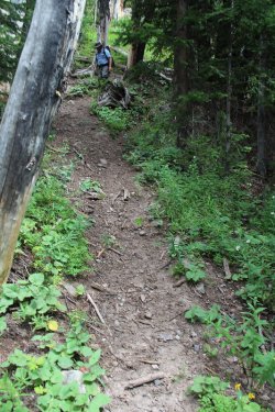
Sorry, I'm infatuated with the trail. Steep! The picture doesn't do it justice.
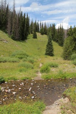
The cursed cut-off trail. This trail was supposed to save us some diatnce, but it died out
in a meadow further along, never to be picked up again. We had to backtrack back to
this creek and continue south to pick up the real trail. Dundee Creek by the way.
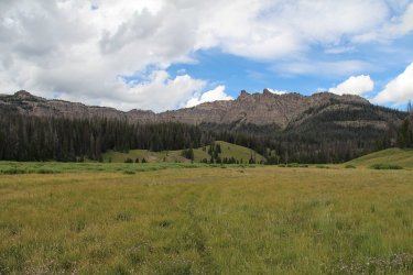
Bonneville Pass is up that way somewhere
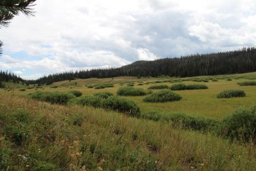
A little bushwhacking through willows is always fun as we make our way south through the main meadow
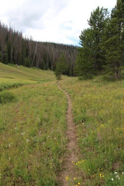
On trail! Yippee!
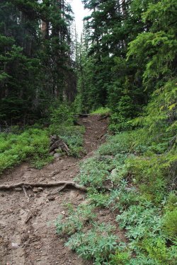
Climbing up to the pass
Just beautiful
More climbing
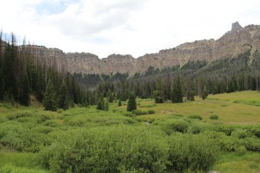
View back to the northeast from Bonneville Pass
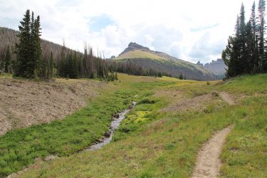
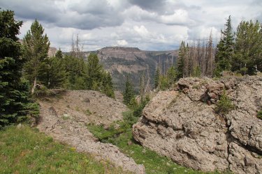
And a view to the southwest from the pass
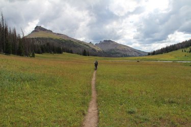
Bob can "smell the barn" at this point. Unnamed Peak 10,526 on the left and Pinnacle Buttes beyond
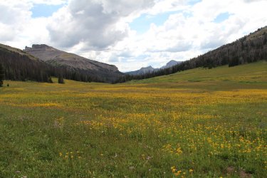
Arnica covered field.
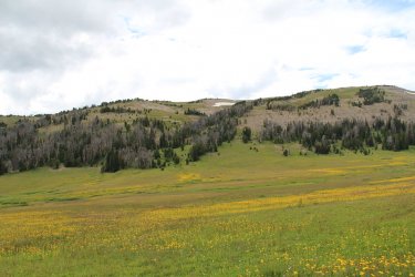
Looking across the meadow to where we were originally supposed to come off the ridge to gain the trail.
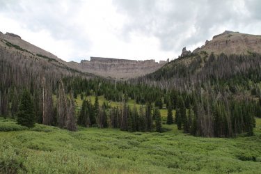
Looking up Jules Bowl at the north side of Pinnacle Buttes
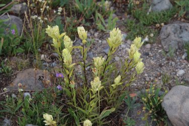
Sulphur indian paintbrush
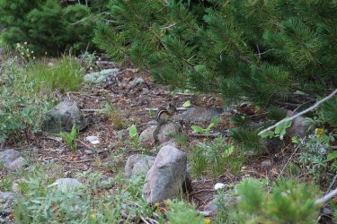
A little fellow close to the trailhead
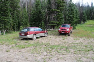
Back at the trailhead!


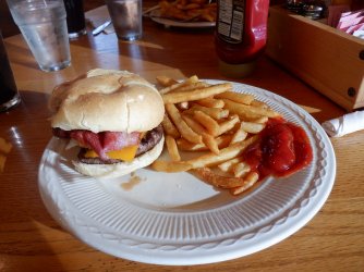
And two calorie starved backpackers each ordered a Great Western Burger at Hatchet Lodge for dinner.
What a fun trip. Thanks Bob for joining me. I had a great time. If we could have ditched the rain and the mud, it would have been perfect.
On my way back to Salt Lake that night, I got to see a large bull elk at the top of Tincup, along with three deer.
The End.
Originally this was supposed to be a trip to the Beartooths, where we had hoped to complete a lollipop loop into the teeth of the Tooths so to speak. Unfortunately, mother nature had other ideas with the flooding and subsequent damage that cut off access to Cooke City through the Park. We turned to option number 2, the Teton Wilderness.
The loop was roughly fifty miles in length, though with Bob's back and forth along the ridges we may have done closer to sixty.
This is our story:

Trip overview map
Day 1 - Dunoir Trail Trailhead to ridge above Trail Creek - 5.7 Miles
Before we get to the trail, lets chat about the ride up to Jackson and beyond.
The forecast for the area, according to @Rockskipper, was for rain and more rain. Wonderful!
As I exited onto Highway 89 south of Willard, Utah, I could tell that it had been raining earlier. When I made my way up Sardine Canyon, the rain began in earnest, and by the time I hit Logan, it was coming down hard. My wiper blades on the Sube could barely keep up with it. Once in Logan Canyon, the force subsided some, but I had rain all the way to Jackson, where I was to meet Bob for lunch at Big Hole BBQ. After downing a couple of pulled pork sandwiches while watching it rain, we took off for our trailhead just east of Brooks Lake.

Afton, Wyoming

Alpine, Wyoming - no let up in the precipitation

On the Forest Service Road to Brooks Lake - Bob in the lead.
Arriving at the trailhead, we caught a break as the steady rain became just a drizzle, and then stopping before we headed down the trail.

Getting ready in the mud at the trailhead

Signage at the trailhead. We'd finish up on this trail in six days, but for now we would be heading in the opposite direction.

Day 1 overview map.
While it had stopped raining, the trail was a muddy mess as we headed west towards the meadows along Brooks Lake. To make matters worse, a horse train had just passed to beat up the trail extra good for us.

A bad picture, but that is a mule looking down at us. It was part of the horse train that came up the trail just before we went down. Besides, an out-of-focus mule beats an in-focus Scatman any day!
It became apparent pretty early on that this was going to be slow slog. The mud was sticking to our shoes/boots with every step. Slipping and sliding was the name of the game this afternoon and evening.

Our first ford, Bonneville Creek

Bob, contemplating a future of mud, with unnamed peak 10681 in the distance

Looking back to the south towards Brooks Lake and surrounding meadows

Some blue sky at Upper Brooks Lake. Don't worry, it won't last.

Part of the CDT at this point

Reaching the Wilderness Boundary

Deer were plentiful the first three days

A couple more further up the trail

Typical trail conditions on Day 1

Beautiful scenery

Bob hanging in there like the trooper he is.

Cub Creek. Just after fording this, and beginning to climb the ridge, it began to rain
While our original plan was to reach Trail Creek for the night, we ended up camping high on the ridge due to darkness setting in
and it just pouring rain.

Making our way up the ridge, looking down on Cub Creek, with Breccia Peak above

Aargh! Tough hill in the mud.

Beautiful sunset on and off the trail. This was near where we called it quits for the day. We set up camp and ate our supper in the
rain.
Day 2 - Ridge above Trail Creek to Lake Creek and Pendegraft Meadow - 9.7 Miles

Day 2 overview map
It rained off and on throughout the night, but by the time we woke the next morning it had stopped and was replaced by mostly blue skies. Now while it had stopped raining, that didn't mean that the trail was in any better condition than it was on day one - still just a muddy mess. Because we had come up short on our campsite the previous day, we had to add about a mile and a half to today's mileage. Also, we had to make our way down to Trail Creek to eat our breakfast, because I didn't have any water left after dinner on the ridge the night before.

Top of my tent on the morning of day two

Bob is trying to dry some clothes

The sun is out! Hallelujah!

Simpson Peaks

Trail Creek. Breakfast time!

We're taking the Angle Lakes route

Smokehouse Mountain

Unnamed peak 10350

We hit a stretch of burn as we made our way to South Buffalo Fork. Smokehouse Mountain in the distance dominated our day

Bob getting a good shot

Scatman enjoying the weather.

Fireweed was prevalent along this stretch, and beautiful too.

A look across the South Buffalo Fork Drainage

The muddy trail I fell on.
He is half mountain goat you know.

Rainbow Lake

Nearing the ford of the South Buffalo Fork. Looking up towards Pendergaft Peak

More deer in the burn

South Buffalo Fork, looking east

Making our way to Lake Creek, looking up towards Pendergraft Peak, though the peak itself is not visible at this angle.

Bob, just about across Lake Creek
Day 3 - Lake Creek to ridge above Lost Creek - 6.6 Miles

Day 3 overview map
Day three was an uphill affair. Packing up after breakfast, we began to work our way up along Lake Creek and into the high country. Trail conditions were improving, though some shady sections of the trail still had mud issues. But overall it was nice to have some solid footing for a change. While the wildflowers were special throughout our trip, the section along Lake Creek was especially nice. I couldn't keep up with Bob due to my constant picture taking up small side drainages just loaded with wildflowers.
After reaching the headwaters of Lake Creek and the trail intersection with Ferry Lake, We chose to head east and camp up above Lost Creek. We had originally intended to head up and over the ridge and then drop down into the South Fork of the Yellowstone, but two straight mud days and a third all uphill day had taken it out of us, so we chose easy instead.
We had a nice spring close to where we chose our campsite, and the water was so clear that my Steripen wouldn't work in it.

Morning on Lake Creek

Watching deer while eating breakfast

Unnamed peak 10375 as we begin our climb out of the South Buffalo Fork Drainage

View looking back at the way we dropped into the drainage the day before

Pussytoes

Lake Creek below

Side canyons were loaded with wildflowers

Paintbrush, arnica and pink geraniums

Some aster, paintbrush and monkey flower

Lake Fork Falls. We met a group from Wyoming Catholic College while at the falls. More
on them later.

Another shot of the falls

Heading into the upper reaches of Lake Creek

Signpost - left to Ferry Lake, right to Marston Pass

View to the south down the Lost Creek Drainage

More wildflowers heading east

Bob enjoying the view. Peak 10962 in the distance

Enjoying dinner up above Lost Creek

Company while eating.

Sunset arrives at Lost Creek
Day 4 - Ridge above Lost Creek to a tributary of Turner Fork - 5.8 Miles

Day 4 overview map
On day four, we would continue east along Lost Creek before beginning our off-trail portion of the trip. Originally, we had planned on staying at an unnamed lake for night 4, but when we arrived at the lake, we ran into a second group from Wyoming Catholic College who where camped there on an off day for them. It turns out that if you enroll at the school, you are required to do a twenty one day backpacking trip through the Teton Wilderness. They would be resupplied twice in the twenty one days. Wow! Where was this opportunity when I went to school? They also had the fortune of watching a sow with her cubs pass by the lake earlier in the morning.
After chatting with members of the group, we had a nice steep climb out of the lake and onto the ridge, where we contoured around to our next campsite. Once up high, the views were tremendous.

Morning on Lost Creek, looking west

Meadow full of wildflowers along Lost Creek

Lost Creek out ahead. We are getting close to leaving the trail and heading south

Leaving the trail, destination straight ahead

Lost Creek Meadows, heading now towards unnamed lake

View to the north. The South Fork of the Yellowstone is on the other side of the ridge.

Another shot down Lost Creek

Bob and Younts Peak poking its head above the ridge

Leaving the unnamed lake and the Wyoming Catholic College students behind, with unnamed peak 10692, and Thorofare Mountain
in the far distance, and of course Bob soaking it all in.

A peek into the Washakie Wilderness

Alpine forget-me-nots

Younts Peak to the north. Younts would become a beacon for the next couple of days.

Me with Thorofare Mountain in the distance

Younts and Thorofare

Alpine tundra

The view ahead

View down into the Turner Fork Drainage. You need to study this @TractorDoc.

Tributary of Turner Fork that we will call home for the night

Our tent sites on the tributary of Turner Fork

A look inside the Scat tent.

A look at Scat inside the tent.

Elephant heads on the tundra
Day 5 - Tributary of Turner Fork to unnamed pond on west side of Crescent Mountain - 8.0 Miles

Day 5 overview map
A lot of up and down to day five's itinerary. This is the day that Bob tried to kill off the Scatman, but somehow I persevered.
While we could see the east side of Crescent Mountain off in the distance, it seemed like it took forever to get there. All the time, we had great views over into the Washakie, and pretty good ones in the Teton Wilderness too. This is also the stretch where we ran into some old trails - some good, some not so much.

Morning on the tributary of Turner Fork

Always enjoy company for breakfast

Couple of bulls as they are leaving

Grand Teton if you can see it.

He was born for this country.

A little tarn along our way

Oh yeah, there is Crescent Mountain! it will only take us about eight hours to get there.

Another unnamed pond. Looking down the Bliss Creek Drainage

Headwaters of a tributary of South Buffalo Fork

Staying up high for now on this one

A look back at Younts and some of the ground we have covered.

Beautiful!

A butterfly in the high country

Another tributary of the South Buffalo Fork that we are going to work our way down. Crescent Mountain in the distance.

Still working our way down the tributary

Making our way back up to the saddle, looking back on the headwaters of the tributary and the way we had come. Nasty horse
trail ahead!

Bob, making his way over to the horse trail from hell.

The steepest horse trail I have ever been on. That moniker would only last one
day though.

Back up on top of the ridge looking into the South Fork of the Buffalo

Looking over into the Washakie Wilderness and the Crescent Creek Drainage

Crescent Mountain is getting close!

And even closer

View down into the headwaters of the South Buffalo Fork, with the Cub Creek Drainage beyond

Lupine was plentiful up top

On the west side of Crescent Mountain now. Next stop is camp.

The unnamed pond (our camp for the night) is just up on that next ridge.

Camp number five on the west side of Crescent Mountain

I had to get a shot with Younts Peak and Thorofare Mountain in it. They are the two peaks way off in the distance.

Dinner time!
Now since we were camped near a pond, and it being our water source, Bob got a kick out of my unfiltered water with mosquito larva swimming around in my water bottle. Pure protein I say.
Day 6 - Unnamed pond on west side of Crescent Mountain to the Dunoir Trail Trailhead and our vehicles - 11.3 Miles

Day 6 overview map
I woke up in the night to a steady drizzle on my tent. Great! We are going to have to hike out in rain and mud just like our first day coming in. Fortunately for us the rain stopped around 6:00 am and we were good to go.
Now we were going to follow the ridge out, and then drop down to the meadow west of Bonneville Pass, and follow the maintained trail for a couple of miles back to the trailhead. But once we dropped off to the saddle of our second ridge, we had a choice to make. We could either follow our original plan, or we could drop down to Dundee Meadows and pick up the trail at the south end of the meadows and take it up and over Bonneville Pass and out. Well, we chose the latter and had to find a way to get down to the meadows. This would include the absolute worst horse trail I have been on, supplanting the one from the day before. It essentially went straight down a cliff for a good piece. Once we survived that, we had to find the trail which kind of turned into a bit of a circus, but we eventually found it. It was then a steep climb over Bonneville Pass to the meadow, which was beautiful by the way, and then downhill to our awaiting vehicles.

Bob (ready for rain) taking down his tent, with Younts and Thorofare in the distance.

Another shot of the Grand

Grabbing his camera to take a picture

Heading off the ridge with the next ridge out in front of us. Perry N. Boday Creek Drainage to Bob's left, and the Cub Creek Drainage
in the distance to his upper right.

See the horse trail ahead climbing the next ridge? That's what we are shooting for.

Climbing the next ridge and looking back on the ridge we just dropped off of. Headwaters of South Buffalo Fork below.

The rocky road ahead, or perhaps the Rocky Road to Dublin!

Looking down into the Cub Creek Drainage

A little peek at the high point of the next ridge we were supposed to climb. The unnamed peak is over 11,000 feet in elevation.

Starting our descent to the saddle between ridges

Looking over towards Pinnacle Buttes

Decision Time! Drop down to the meadows or climb back up the next ridge? What
would you choose?

Dropping down to the first meadow. The south end of the distant meadow is what we are shooting for.

What is this? An old horse trial perhaps?

Still a ways and a drop to the main meadow.

Ooh, bear scat on the old horse trail.

Turned into the horse trail from hell. Bob coming straight down of a cliff, doing his best
mountain goat impersonation. They must have been some tough old cowboys back in
the day to use this trail. My hats off to them.

Sorry, I'm infatuated with the trail. Steep! The picture doesn't do it justice.

The cursed cut-off trail. This trail was supposed to save us some diatnce, but it died out
in a meadow further along, never to be picked up again. We had to backtrack back to
this creek and continue south to pick up the real trail.

Bonneville Pass is up that way somewhere

A little bushwhacking through willows is always fun as we make our way south through the main meadow

On trail! Yippee!

Climbing up to the pass

Just beautiful

More climbing

View back to the northeast from Bonneville Pass

And a view to the southwest from the pass

Bob can "smell the barn" at this point.

Arnica covered field.

Looking across the meadow to where we were originally supposed to come off the ridge to gain the trail.

Looking up Jules Bowl at the north side of Pinnacle Buttes

Sulphur indian paintbrush

A little fellow close to the trailhead

Back at the trailhead!

And two calorie starved backpackers each ordered a Great Western Burger at Hatchet Lodge for dinner.
What a fun trip. Thanks Bob for joining me. I had a great time. If we could have ditched the rain and the mud, it would have been perfect.
On my way back to Salt Lake that night, I got to see a large bull elk at the top of Tincup, along with three deer.
The End.
Last edited:
