- Joined
- Jul 23, 2013
- Messages
- 1,665
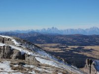
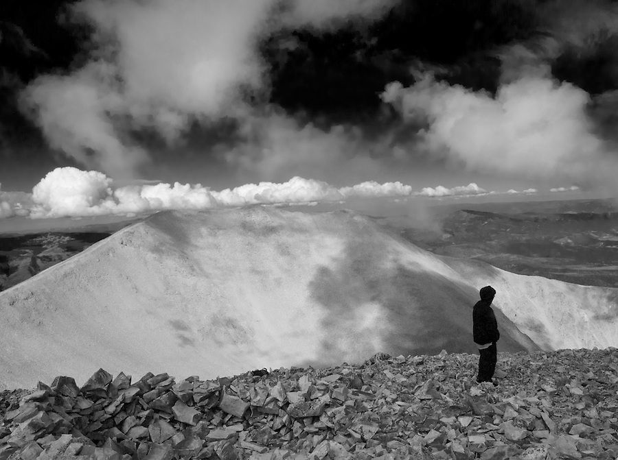
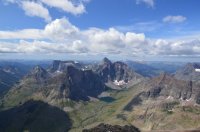
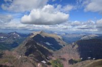
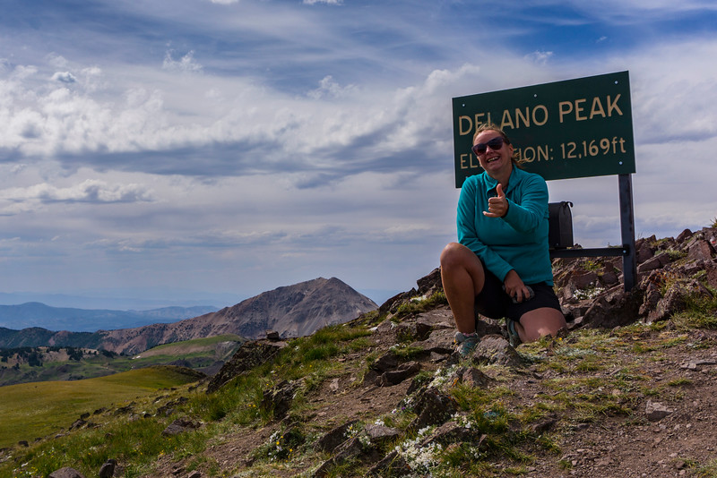
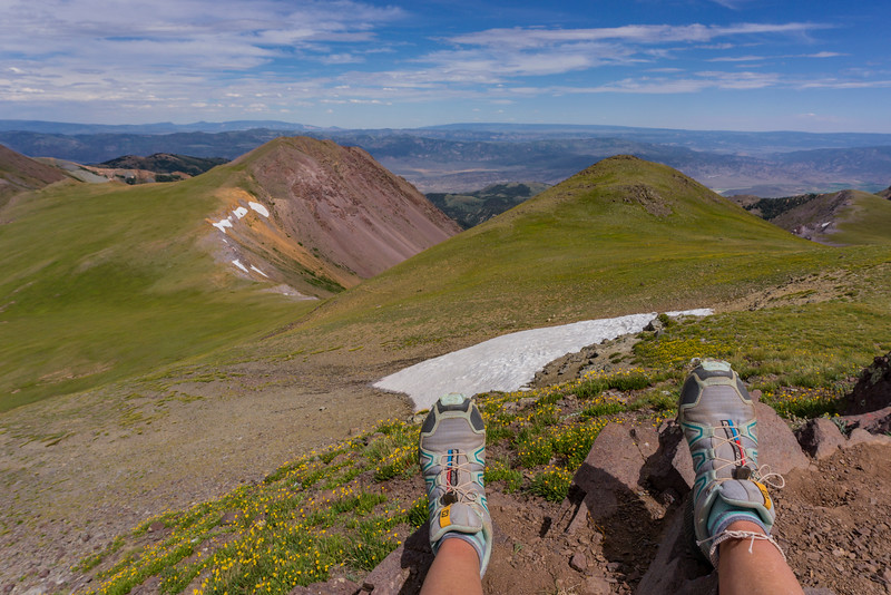
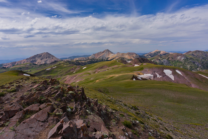
I haven't seen an album created for anything like "Summit Shots" yet, so I'm starting one up now, for those of us who like to bag a peak every now and then. I'll start with a couple from the trip @WillisBodillus and I took up to Mt. Timpanogos this past weekend.
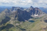
Emerald Lake (and what's left of some prayer flags on the hut)

Me

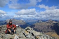
@WillisBodillus and me

Emerald Lake (and what's left of some prayer flags on the hut)
Me
@WillisBodillus and me


.jpg")


")