- Joined
- Jul 8, 2015
- Messages
- 251
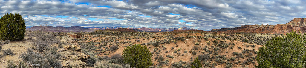
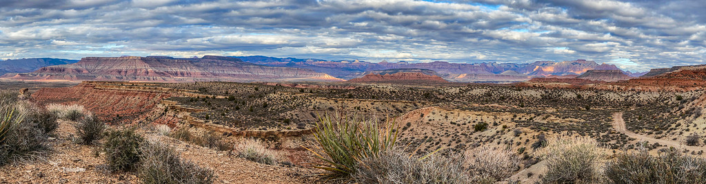
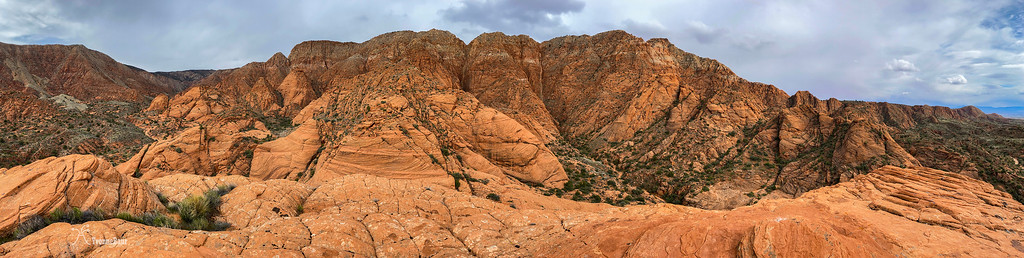
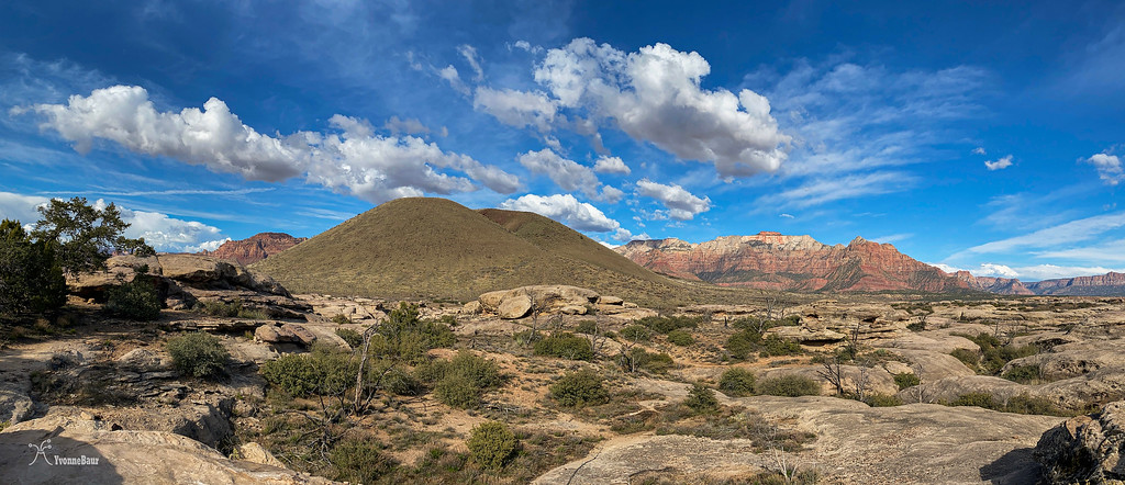
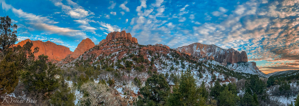
Last weekend at the Swell

Follow along with the video below to see how to install our site as a web app on your home screen.
Note: This feature may not be available in some browsers.

That's some purdy light!It really does sound like the start of a bad joke...
So there is this little Tower, Pyramid and Hooker who are sitting at the lake....
View attachment 90818

I love it!! I went and visited in 2015 and always wanted to go back on another trip to the area.While going through a folder of pictures taken on a trip to Scottsbluff National Monument a few years ago, I noticed that I had never stitched a set of panorama photos. So, I put them together and this picture is the result.
The picture was taken standing approximately on the path of the Oregon Trail. Perhaps many of the nearly 1/2 million pioneers traveling through here in the mid 1800's may have also seen such a sunrise.
The North Platte River runs just beyond the bluffs on the horizon. The emigrants on the Oregon Trail had been following the Platte River on it's southern bank from it's confluence with the Missouri River about 400 miles to the east and would continue following it to nearly it's headwaters at the Continental Divide in central Wyoming. These bluffs were a barrier to their progress west. The bluffs extend about 20 miles to the south with one break which is on the left margin of the picture. That break in the cliffs was named Mitchell Pass. 150 years later the ruts from the passage of many thousands of wagons are still clearly visible at Mitchell Pass.
Scottsbluff National Monument
Gering, Nebraska
View attachment 93860
This picture was taken on the morning of July 4th in 2015. maybe we just missed each other.I love it!! I went and visited in 2015 and always wanted to go back on another trip to the area.
I loved all the history in the area