- Joined
- Dec 23, 2013
- Messages
- 4,114
I've had Jay Creek on my bucket list for a couple of decades now and last month I had the opportunity to explore the drainage.
@Bob had sent me a route earlier in the year that reached Yellowstone Point from Turpin Meadow. I asked Bob if it were okay to alter his route and go up Jay Creek instead of heading to the point. Bob was good with that, so in mid-July we, along with Bob's friend Gary, headed off on an eight day trip to see what Jay Creek was all about.
Conditions for this trip were hot, smoky, and biting flies that were overwhelming at times. Our route was a lollipop loop that measured approximately 58 miles.
The crux of the trip was a day four bushwhack up Jay Creek. The fist two miles up the creek there is an old outfitter's trail that has quite a bit of downfall while it winds through the forest, and it runs through marshy/boggy willows after leaving the trees, but at least you can follow it if your boots don't get sucked off. After that, we were unable to stay on the trail and had to make our way as best we could which included elk trails, willow bushwhacking, straight up the creek bed at times. It wore us out, and we camped at the headwaters instead of continuing on to Tri-county Lake where we had originally planned to stay for the night. That being said, Jay Creek is a wild place and definitely worth the effort to see.
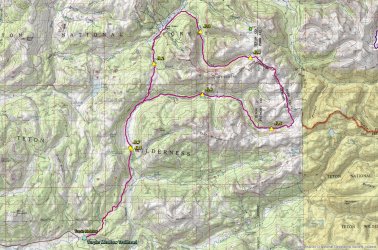
Trip overview map
Day 1 -
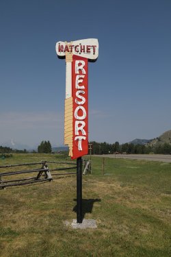
I drove up from Salt Lake while Bob and Gary made their way from Island Park, meeting
at the Hatchet Resort for a pre trip meal. I had the bison burger.
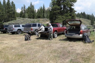
Getting ready at the Turpin Meadow Trailhead
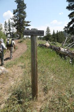
On the North Fork Buffalo Trail
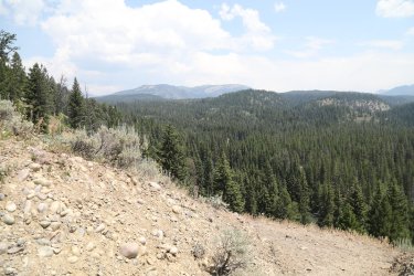
View to the northeast from the trail
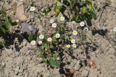
Fleabane along the trail
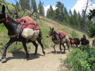
Things got intense right off the bat on day one. This horse/mule train passed us on a steep slope above Buffalo Fork. While
passing, one of the horses got spooked and went over and down the slope, losing its rider in the process. This caused the train to
stop. This put me in a precarious situation, standing below the trail on the steep slope carrying my 54 pound pack, with a mules
foot not one foot from my head. I was thinking to myself, "if this mule kicks me, I'm a dead man." Fortunately @Rockskipper must
have trained her cousin well because it never kicked.
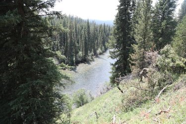
The Buffalo Fork
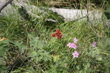
Paintbrush and geraniums
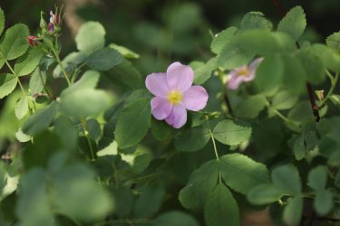
Wild rose
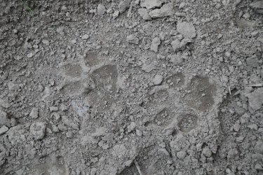
Wolf track on the trail.
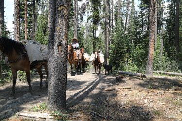
The next horse train that passed us told us that they had seen a grey wolf earlier on their ride out.
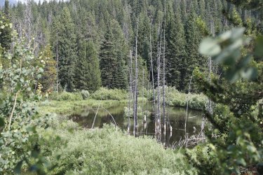
Unnamed pond along the trail
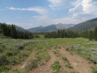
Heading out into the Soda Fork Meadows
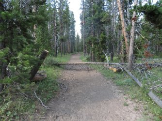
Horse highway on the west side of the meadows
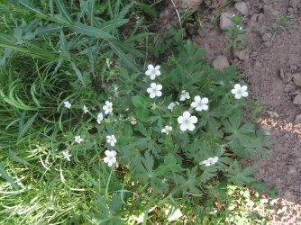
Richardson's geranium
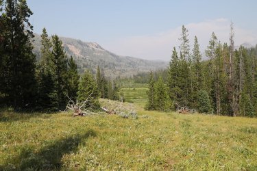
Willows and marsh below
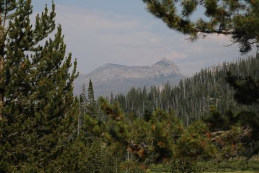
View to the northeast
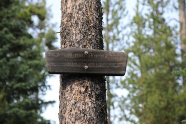
We'll continue on up the North Buffalo Fork
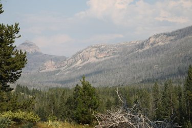
View up Soda Fork
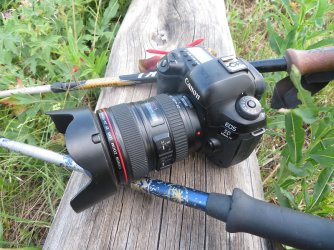
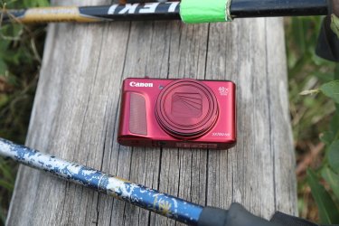
Workhorses for this trip
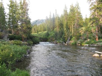
North Buffalo Fork
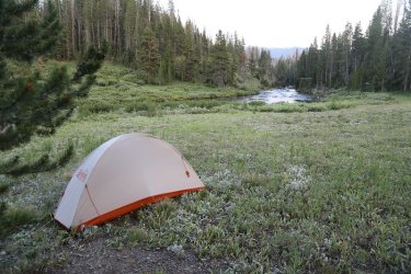
My tent on North Buffalo Fork
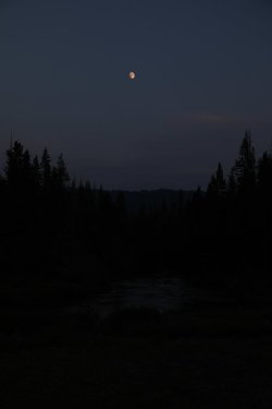
Moonrise over the North Fork
Day 2 -
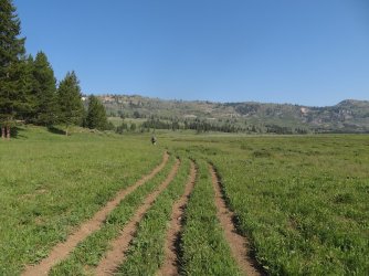
Heading out from camp with Gary out front
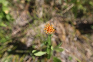
Mountain dandelion
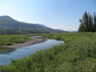
Willows and the North Buffalo Fork
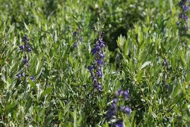
Monkshood
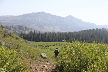
Bob, making his way along the North Buffalo Fork
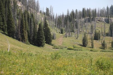
Trail heading up the hill towards the Continental Divide and Pacific Creek
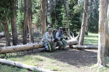
Break time before heading up the hill
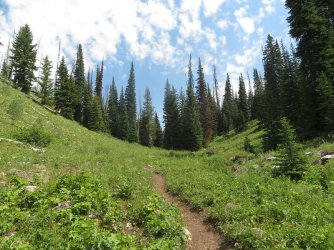
A hot climb to the top for me.
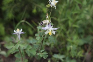
Blue columbine
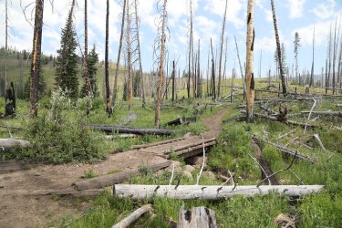
Very little shade heading to the top
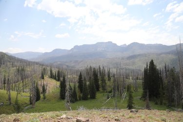
Looking back towards Soda Mountain
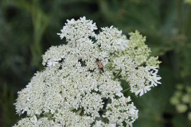
Interesting beetle on some yampah
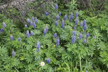
Lupine was numerous up top
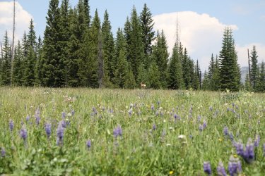
I sat down at the pass to eat some lunch and this deer came by
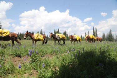
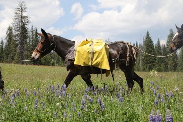
And then this mule train
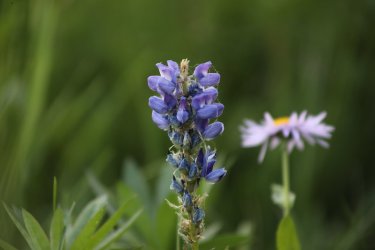
Lupine
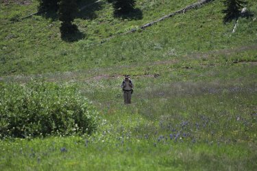
Heading up to the pass
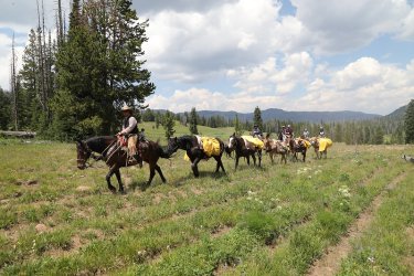
And more horses/mules
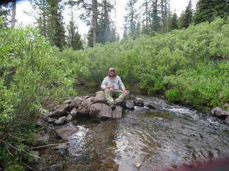
Getting ready to filter some water at camp on Trail Creek
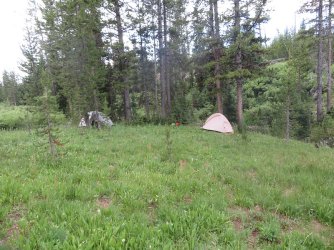
Our campsite for night two
Day 3 -
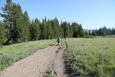
Heading down the pass towards Pacific Creek
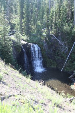
Falls on Trail Creek
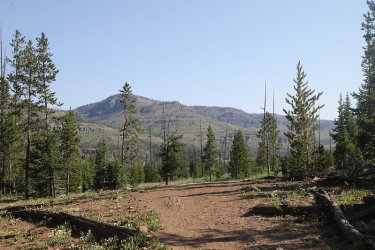
View to the north towards Two Ocean Plateau
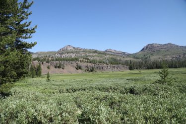
Dropped down the willows along Pacific Creek
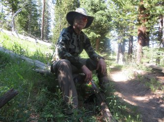
Time for some shade and a snack
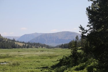
Hawks Rest ahead
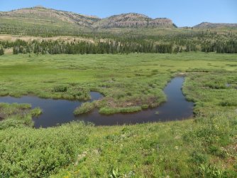
Atlantic Creek
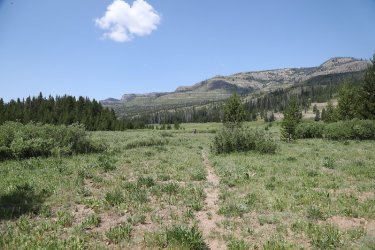
The old outfitter's trail that leads into Jay Creek Canyon
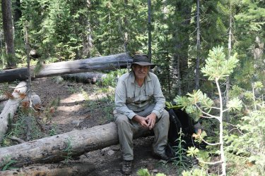
Lots on downfall along the outfitter's trail at the beginning of heading into the canyon
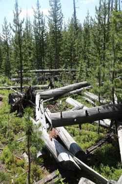
Typical of the first part of the trail
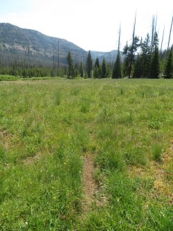
Breaking out into a meadow
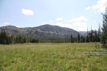
View up Jay Creek Canyon
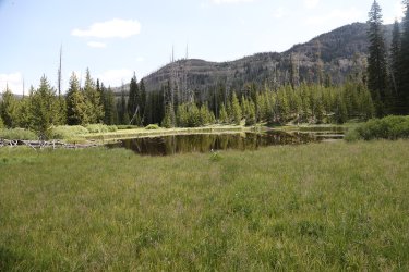
Unnamed pond up Jay Creek
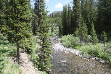
Jay Creek
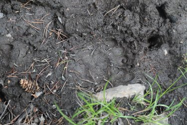
We are not alone
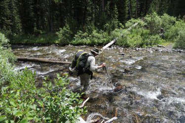
Bob, crossing Jay Creek
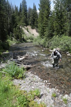
Gary crossing a little further upstream
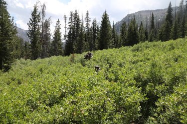
The willows were hell! Marshy, boot eating bogs at ground level when heading through
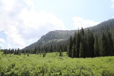
More willows to contend with
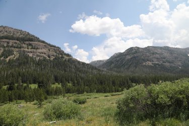
The Jay Creek Drainage
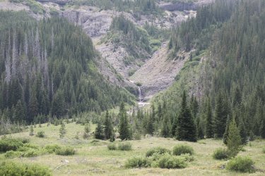
Falls on the west side
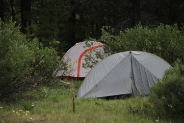
Our camp that night was in the willows
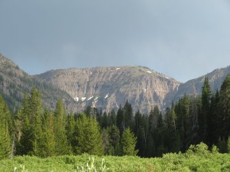
Evening sun up canyon on where we will beheading on day four
Day 4 -
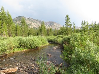
Jay Creek on day four
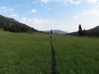
A nice trail through this section. It wouldn't last.
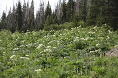
Cow-parsnip was plentiful in the drainage
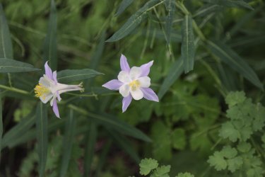
More Colorado blue columbine
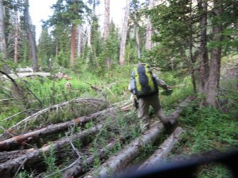
Not the best shot, but we are dealing with avalanche debris at this point
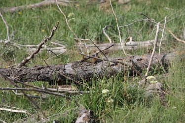
Chipmunk among the debris
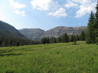
Heading towards the east turn in the canyon
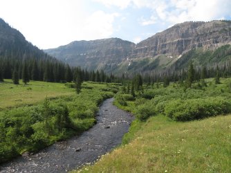
Jay Creek and surroundings
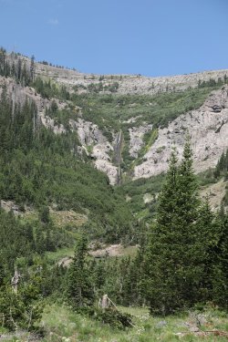
More falls
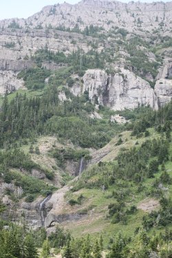
And more
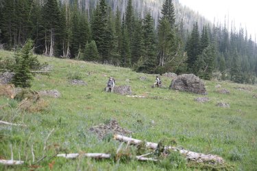
Essentially no outfitter's trail from this point on
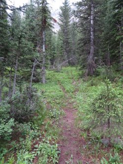
Onto an elk trail
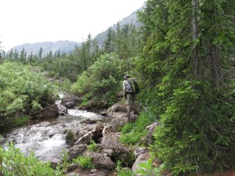
Where to now? Bob, on Jay Creek
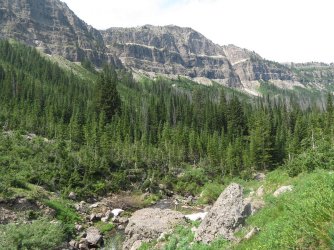
Maybe the other side of the creek
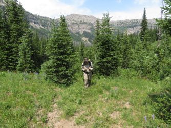
Breaking through the trees
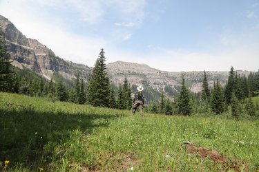
Enjoying the view
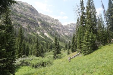
The upper part of the canyon is gorgeous!
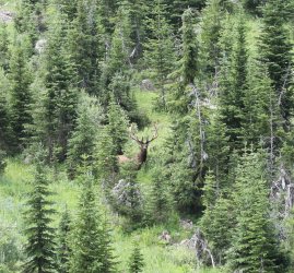
Bull elk across the drainage
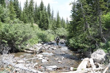
Sometimes the easiest route was just up the creek. Gary leads the way.
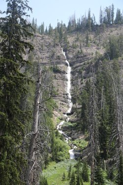
Tall waterfall coming off the south canyon wall
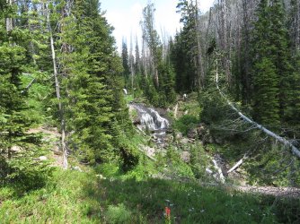
Falls on Jay Creek
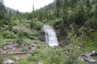
More falls on Jay Creek
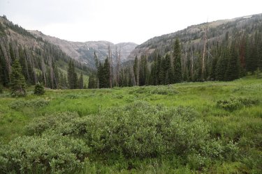
Looking back down the drainage
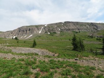
Breaking out into the meadows of the headwaters of Jay Creek
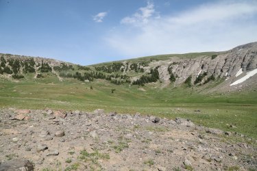
More headwaters view with the pass we will be heading up on day five ahead
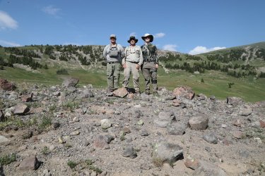
Headwaters shot
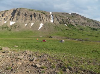
Camp for the night
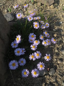
Fleabane
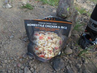
Dinner
Day 5 -
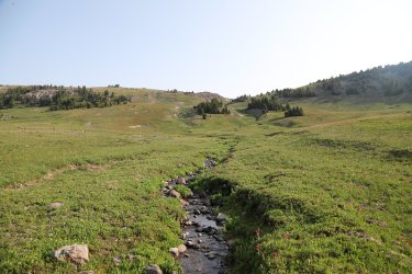
Jay Creek at the headwaters
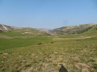
Morning view back down the canyon on my way to the pass
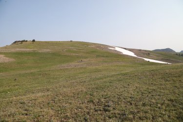
On the pass - view to the north
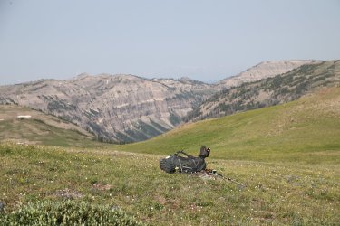
Zoomed in view down Jay Creek Canyon from the pass
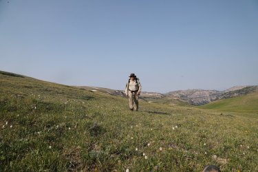
Bob reaches the pass
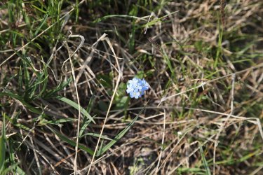
Forget-me-nots
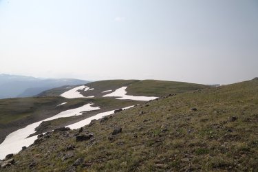
View to the south near the pass, our way forward
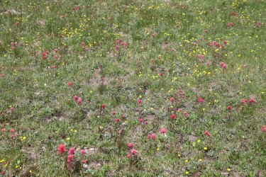
Lots of paintbrush in the high country
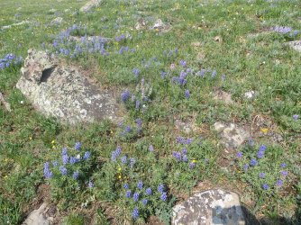
And lupine
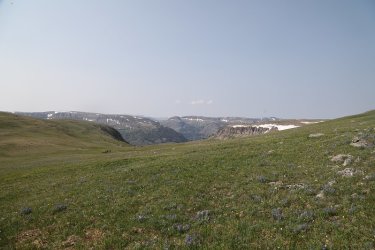
Ahead is the drainage that contains Tri-county Lake and eventually this side drainage drops into the North Buffalo Fork
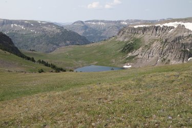
Looking down on Tri-county Lake
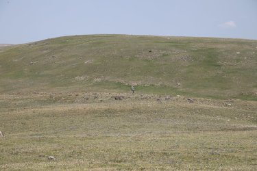
Gary coning of the hill along the ridgeline
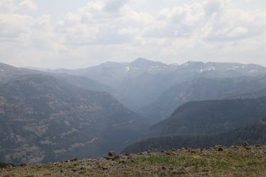
Younts Peak in the distance, with the Yellowstone River below
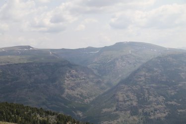
View to the east across the Yellowstone at the basin on Thunder Mountain
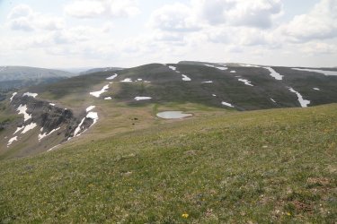
Our way forward with an unnamed pond to visit, coming off hill 10,764
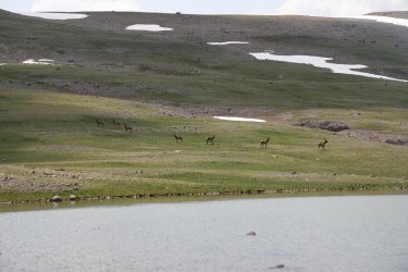
Had some visitors show up while I was waiting at the pond
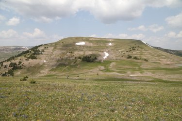
Looking back north at hill 10,764
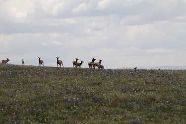
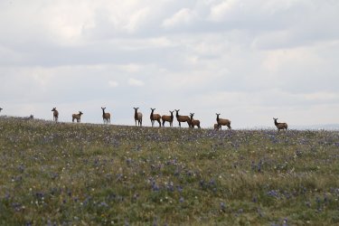
Came upon these elk in their daybeds at the top of the next hill - hill 10,737. They all stood up and stared when they saw me.
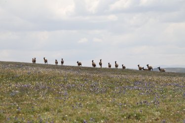
Once I took a step forward they bolted
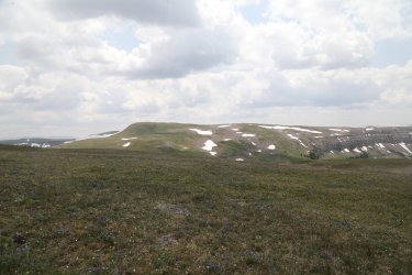
Next hill (Jay Peak) ahead
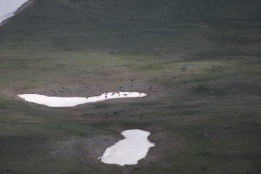
This is the same herd of elk that I disturbed off of their daybeds. It took them five minute to run over to this snow field on the
next hill to the south, it would take me fifty minutes to walk it.
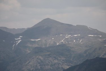
Another Younts shot
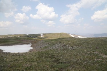
Our way forward
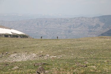
Bob and Gary, making their way across the plateau
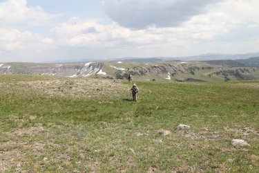
Approaching the basin where the headwaters of the North Buffalo Fork is located
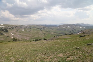
Looking down on the headwaters of the North Buffalo Fork
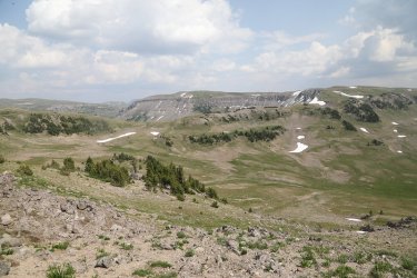
Another headwaters shot
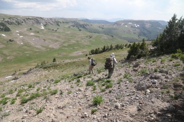
Making our way down into the basin
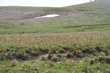
More spectacular paintbrush
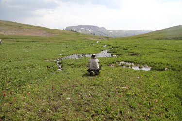
Bob contemplating life at the headwaters of the North Buffalo Fork
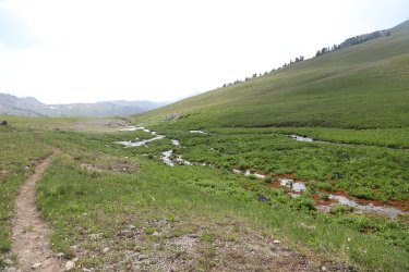
Beginning our descent down the fork
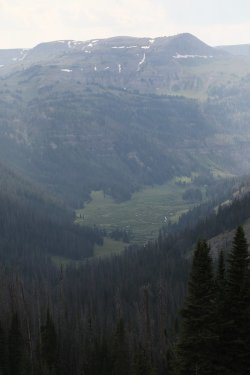
The meadow down below where we will find our campsite for the night
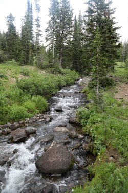
Cascades on the North Buffalo Fork
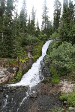
And falls
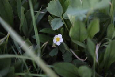
Strawberry
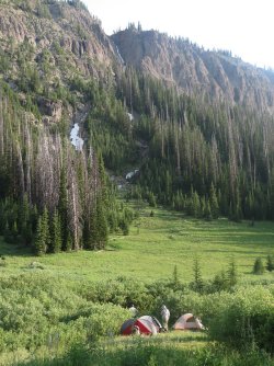
Campsite by the willows again tonight.
Day 6 -
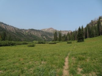
Morning view down the North Buffalo Fork
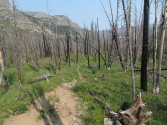
Fairly recent burn? Gary, who was out in front ran into a black bear just beyond this stretch
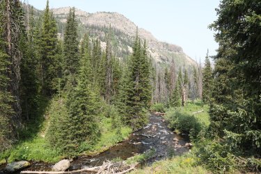
North Buffalo Fork
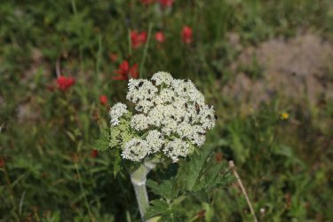
For some reason, flies like cow-parsnip
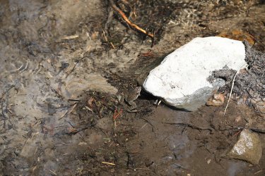
Fogs were plentiful on this trip
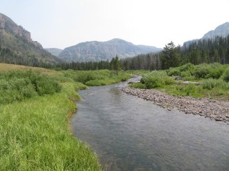
North Buffalo Fork. The canyon at the upper left is the one that leads to Tri-county Lake.
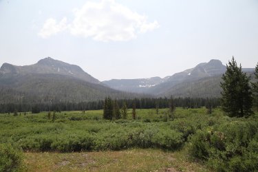
Another smoky day, but still nice views to be had
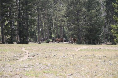
Outfitter's camp
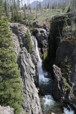
North Fork Falls
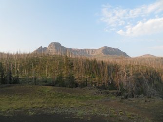
View from out night six campsite with a view of Soda Mountain
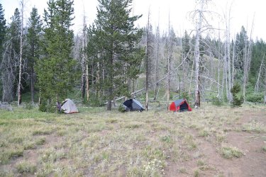
Our campsite
Day 7 -
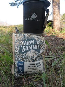
My breakfast on day seven. I thought the grits were okay. I'd buy and eat them again for a change
in my oatmeal routine.
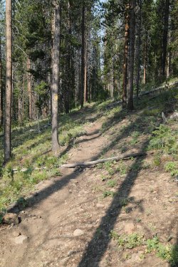
Down we go
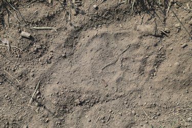
Bear track on the trail
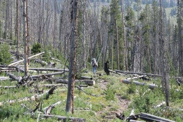
This backpacker's name was Robert. He had come in over Ishawooa Pass and made his way south along the ridgeline towards
Deer Creek Pass before exploring more of the Teton Wilderness. He asked me if it was possible to get to Ferry Lake by heading up
North Buffalo Fork. I told him that he could and he was on his way. He was dressed in all white and his face was covered in zinc-
oxide for sun protection I assume. After he left I thought maybe I had seen a ghost, but Bob and Gary confirmed that he existed
as they had chatted with him briefly too. He did have an issue about all the horse shit on the trail. I didn't have the heart to tell
him that the trails wouldn't be here if not for the horses and horsemen and women.
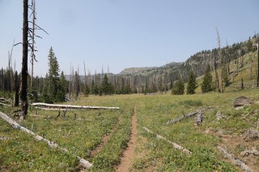
Getting close to closing the lollipop loop
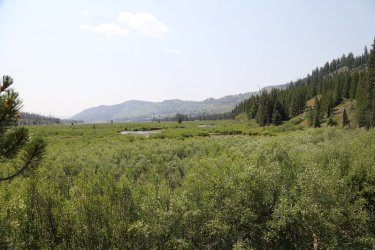
Back in familiar territory
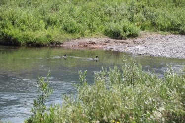
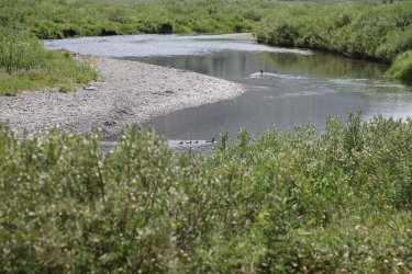
Ducks on the creek
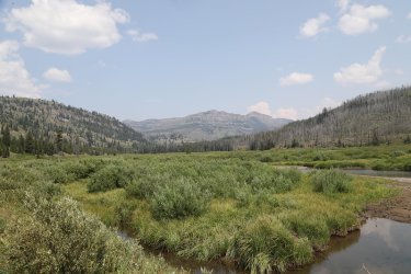
Looking back north from whence we came.
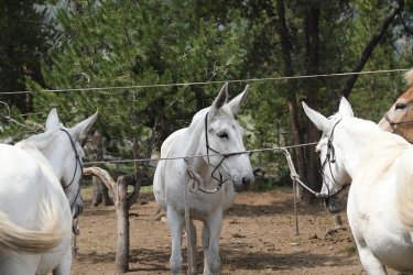
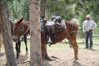
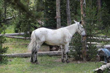
Some fine looking mules at an outfitter's camp
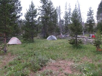
Camp for night seven
Day 8 -
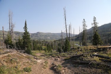
Heading out today. View north, down into the North Fork Meadows
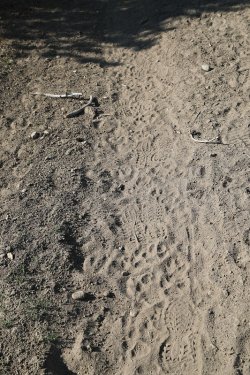
Pack of wolves passed through in the night. They went almost all the way to the
trailhead.
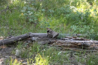
A mad grouse got after me
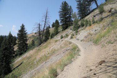
Last hill before dropping down to the trailhead
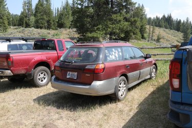
Back at the Sube
I should mention that I met a CDT hiker along the trail on the way out and she was struggling with the heat. She was sitting in the shade maybe fifty minutes from the trailhead. I asked if she would like to hike back to the trailhead with me. She said that she was going to rest in the shade for awhile longer. She popped out at the trailhead when I was changing clothes and I asked her if she was doing okay. I told her that I was heading to Jackson and then on to Salt Lake, and if she was heading my way, I'd give her a ride. She told me that she needed to get to Grant Village in Yellowstone. I told her that Bob and Gary were coming out and they were going home through the Park and that she should ask them for a lift. I understand that Bob gave her a lift to Grant, and bought her some pizza on the way. So kudos to Bob!
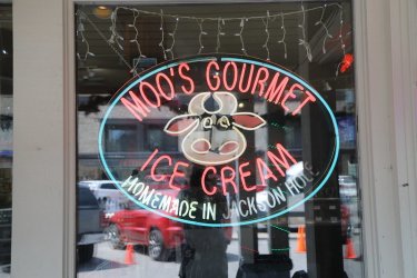
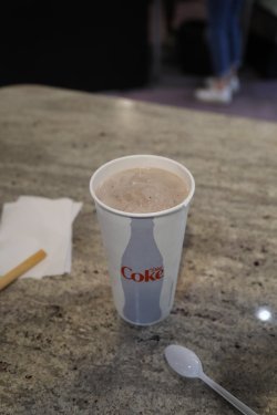
And of course, had to stop at Moos in Jackson for an Oreo malt with dark malt.
The End.
@Bob had sent me a route earlier in the year that reached Yellowstone Point from Turpin Meadow. I asked Bob if it were okay to alter his route and go up Jay Creek instead of heading to the point. Bob was good with that, so in mid-July we, along with Bob's friend Gary, headed off on an eight day trip to see what Jay Creek was all about.
Conditions for this trip were hot, smoky, and biting flies that were overwhelming at times. Our route was a lollipop loop that measured approximately 58 miles.
The crux of the trip was a day four bushwhack up Jay Creek. The fist two miles up the creek there is an old outfitter's trail that has quite a bit of downfall while it winds through the forest, and it runs through marshy/boggy willows after leaving the trees, but at least you can follow it if your boots don't get sucked off. After that, we were unable to stay on the trail and had to make our way as best we could which included elk trails, willow bushwhacking, straight up the creek bed at times. It wore us out, and we camped at the headwaters instead of continuing on to Tri-county Lake where we had originally planned to stay for the night. That being said, Jay Creek is a wild place and definitely worth the effort to see.

Trip overview map
Day 1 -

I drove up from Salt Lake while Bob and Gary made their way from Island Park, meeting
at the Hatchet Resort for a pre trip meal. I had the bison burger.

Getting ready at the Turpin Meadow Trailhead

On the North Fork Buffalo Trail

View to the northeast from the trail

Fleabane along the trail

Things got intense right off the bat on day one. This horse/mule train passed us on a steep slope above Buffalo Fork. While
passing, one of the horses got spooked and went over and down the slope, losing its rider in the process. This caused the train to
stop. This put me in a precarious situation, standing below the trail on the steep slope carrying my 54 pound pack, with a mules
foot not one foot from my head. I was thinking to myself, "if this mule kicks me, I'm a dead man." Fortunately @Rockskipper must
have trained her cousin well because it never kicked.

The Buffalo Fork

Paintbrush and geraniums

Wild rose

Wolf track on the trail.

The next horse train that passed us told us that they had seen a grey wolf earlier on their ride out.

Unnamed pond along the trail

Heading out into the Soda Fork Meadows

Horse highway on the west side of the meadows

Richardson's geranium

Willows and marsh below

View to the northeast

We'll continue on up the North Buffalo Fork

View up Soda Fork


Workhorses for this trip

North Buffalo Fork

My tent on North Buffalo Fork

Moonrise over the North Fork
Day 2 -

Heading out from camp with Gary out front

Mountain dandelion

Willows and the North Buffalo Fork

Monkshood

Bob, making his way along the North Buffalo Fork

Trail heading up the hill towards the Continental Divide and Pacific Creek

Break time before heading up the hill

A hot climb to the top for me.

Blue columbine

Very little shade heading to the top

Looking back towards Soda Mountain

Interesting beetle on some yampah

Lupine was numerous up top

I sat down at the pass to eat some lunch and this deer came by


And then this mule train

Lupine

Heading up to the pass

And more horses/mules

Getting ready to filter some water at camp on Trail Creek

Our campsite for night two
Day 3 -

Heading down the pass towards Pacific Creek

Falls on Trail Creek

View to the north towards Two Ocean Plateau

Dropped down the willows along Pacific Creek

Time for some shade and a snack

Hawks Rest ahead

Atlantic Creek

The old outfitter's trail that leads into Jay Creek Canyon

Lots on downfall along the outfitter's trail at the beginning of heading into the canyon

Typical of the first part of the trail

Breaking out into a meadow

View up Jay Creek Canyon

Unnamed pond up Jay Creek

Jay Creek

We are not alone

Bob, crossing Jay Creek

Gary crossing a little further upstream

The willows were hell! Marshy, boot eating bogs at ground level when heading through

More willows to contend with

The Jay Creek Drainage

Falls on the west side

Our camp that night was in the willows

Evening sun up canyon on where we will beheading on day four
Day 4 -

Jay Creek on day four

A nice trail through this section. It wouldn't last.

Cow-parsnip was plentiful in the drainage

More Colorado blue columbine

Not the best shot, but we are dealing with avalanche debris at this point

Chipmunk among the debris

Heading towards the east turn in the canyon

Jay Creek and surroundings

More falls

And more

Essentially no outfitter's trail from this point on

Onto an elk trail

Where to now? Bob, on Jay Creek

Maybe the other side of the creek

Breaking through the trees

Enjoying the view

The upper part of the canyon is gorgeous!

Bull elk across the drainage

Sometimes the easiest route was just up the creek. Gary leads the way.

Tall waterfall coming off the south canyon wall

Falls on Jay Creek

More falls on Jay Creek

Looking back down the drainage

Breaking out into the meadows of the headwaters of Jay Creek

More headwaters view with the pass we will be heading up on day five ahead

Headwaters shot

Camp for the night

Fleabane

Dinner
Day 5 -

Jay Creek at the headwaters

Morning view back down the canyon on my way to the pass

On the pass - view to the north

Zoomed in view down Jay Creek Canyon from the pass

Bob reaches the pass

Forget-me-nots

View to the south near the pass, our way forward

Lots of paintbrush in the high country

And lupine

Ahead is the drainage that contains Tri-county Lake and eventually this side drainage drops into the North Buffalo Fork

Looking down on Tri-county Lake

Gary coning of the hill along the ridgeline

Younts Peak in the distance, with the Yellowstone River below

View to the east across the Yellowstone at the basin on Thunder Mountain

Our way forward with an unnamed pond to visit, coming off hill 10,764

Had some visitors show up while I was waiting at the pond

Looking back north at hill 10,764


Came upon these elk in their daybeds at the top of the next hill - hill 10,737. They all stood up and stared when they saw me.

Once I took a step forward they bolted

Next hill (Jay Peak) ahead

This is the same herd of elk that I disturbed off of their daybeds. It took them five minute to run over to this snow field on the
next hill to the south, it would take me fifty minutes to walk it.

Another Younts shot

Our way forward

Bob and Gary, making their way across the plateau

Approaching the basin where the headwaters of the North Buffalo Fork is located

Looking down on the headwaters of the North Buffalo Fork

Another headwaters shot

Making our way down into the basin

More spectacular paintbrush

Bob contemplating life at the headwaters of the North Buffalo Fork

Beginning our descent down the fork

The meadow down below where we will find our campsite for the night

Cascades on the North Buffalo Fork

And falls

Strawberry

Campsite by the willows again tonight.
Day 6 -

Morning view down the North Buffalo Fork

Fairly recent burn? Gary, who was out in front ran into a black bear just beyond this stretch

North Buffalo Fork

For some reason, flies like cow-parsnip

Fogs were plentiful on this trip

North Buffalo Fork. The canyon at the upper left is the one that leads to Tri-county Lake.

Another smoky day, but still nice views to be had

Outfitter's camp

North Fork Falls

View from out night six campsite with a view of Soda Mountain

Our campsite
Day 7 -

My breakfast on day seven. I thought the grits were okay. I'd buy and eat them again for a change
in my oatmeal routine.

Down we go

Bear track on the trail

This backpacker's name was Robert. He had come in over Ishawooa Pass and made his way south along the ridgeline towards
Deer Creek Pass before exploring more of the Teton Wilderness. He asked me if it was possible to get to Ferry Lake by heading up
North Buffalo Fork. I told him that he could and he was on his way. He was dressed in all white and his face was covered in zinc-
oxide for sun protection I assume. After he left I thought maybe I had seen a ghost, but Bob and Gary confirmed that he existed
as they had chatted with him briefly too. He did have an issue about all the horse shit on the trail. I didn't have the heart to tell
him that the trails wouldn't be here if not for the horses and horsemen and women.

Getting close to closing the lollipop loop

Back in familiar territory


Ducks on the creek

Looking back north from whence we came.


Some fine looking mules at an outfitter's camp

Camp for night seven
Day 8 -

Heading out today. View north, down into the North Fork Meadows

Pack of wolves passed through in the night. They went almost all the way to the
trailhead.

A mad grouse got after me

Last hill before dropping down to the trailhead

Back at the Sube
I should mention that I met a CDT hiker along the trail on the way out and she was struggling with the heat. She was sitting in the shade maybe fifty minutes from the trailhead. I asked if she would like to hike back to the trailhead with me. She said that she was going to rest in the shade for awhile longer. She popped out at the trailhead when I was changing clothes and I asked her if she was doing okay. I told her that I was heading to Jackson and then on to Salt Lake, and if she was heading my way, I'd give her a ride. She told me that she needed to get to Grant Village in Yellowstone. I told her that Bob and Gary were coming out and they were going home through the Park and that she should ask them for a lift. I understand that Bob gave her a lift to Grant, and bought her some pizza on the way. So kudos to Bob!


And of course, had to stop at Moos in Jackson for an Oreo malt with dark malt.
The End.
