- Joined
- Feb 21, 2024
- Messages
- 105
East Sopris and West Sopris, had I read the initial ask instead of just looking at the picture.
Follow along with the video below to see how to install our site as a web app on your home screen.
Note: This feature may not be available in some browsers.
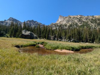
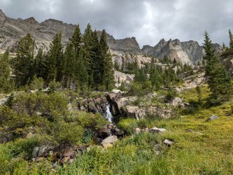
Lost Creek Wilderness it is!Lost Creek Wilderness. @wanderlust probably knows what peak that is.
Yessir, that's McCurdy Park Tower!Is that MCurdy Tower as seen from McCurdy Park?
Sorry, just now saw this but I like yours better anyway@Rockskipper can take this one, for recognizing LCW
Not the WeminucheThis has very Weminuche-y vibes to it, though I can't place the precise spot.
You got it! I thought Longs poking out would be a dead giveaway, but I guess it was in the distance and there were dark clouds around it. I was actually going in the opposite direction; we camped at Stone Lake, then hiked North through Paradise Park, then up and over the pass that dropped us into Fifth Lake and upper East Inlet. All easy-going terrain. Here's Paradise Park further below:You second photo would be Mt Alice with Longs Peak in the upper right. The third photo would be Ptarmigans Beak with the big cliff face. That put the first photo looking at Hiamovi and Watanga. I don't remember seeing Hiamovi Tower from this angle and it was throwing me off.
Were you hiking down into Paradise Park?


Correct!looks pretty Pagosa Peak-ish to me
Love it! That view north just past the airfield had me nodding my head and telling myself I need to move down that way myself.Correct!
Don't like ads? Become a BCP Supporting Member and kiss them all goodbye. Click here for more info.
