Guess the spot

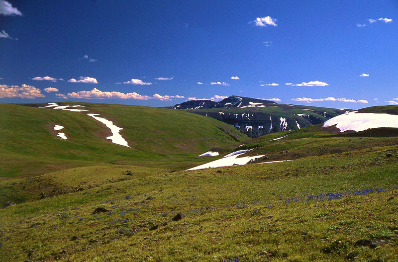
I'm assuming that clues are in order. Okay, this valley is west of the Kern River. There are many trails that lead west from the Kern and this is one of them. The trail that I am on is probably the second most popular trail in the Sierra's next to the JMT.
 
Now looking at the map from your hint ...

Is this first in Sequoia NP, off of the High Sierra Trail with looking down the Middle Fork Kaweah River Area with the Castle Rock mountain Area in the distance? This would not be far from the Bearpaw Meadow Ranger Station.
 
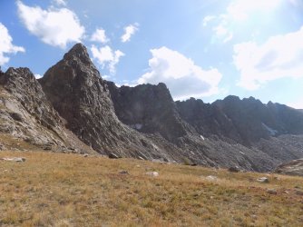
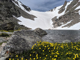
Now here is the next one for everyone ... a nice place that is wild! Of course taken during the height of summer when this country is so accessible.
One could spend days and weeks in here just enjoying everything in this good country.


p191345481-4.jpg


Ta
 
Yes you are correct Marmot! You are now up so go for it!
 
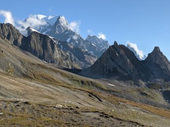
I figured someone here would have hiked this trail and would recognize it! It is the highest point of 2 countries.
Mt Blanc? It doesn't look like the other photos I've seen of Mont Blanc, but I can't think of any other mountains that meet your description
 
Mt Blanc? It doesn't look like the other photos I've seen of Mont Blanc, but I can't think of any other mountains that meet your description
It is! This was taken when we did the Tour Du Mt Blanc in Sept. It is from the Southwest on the France/Italy border at Col de la Seigne.
 

Don't like ads? Become a BCP Supporting Member and kiss them all goodbye. Click here for more info.

Back
Top