regehr
Member
- Joined
- Mar 28, 2012
- Messages
- 2,484
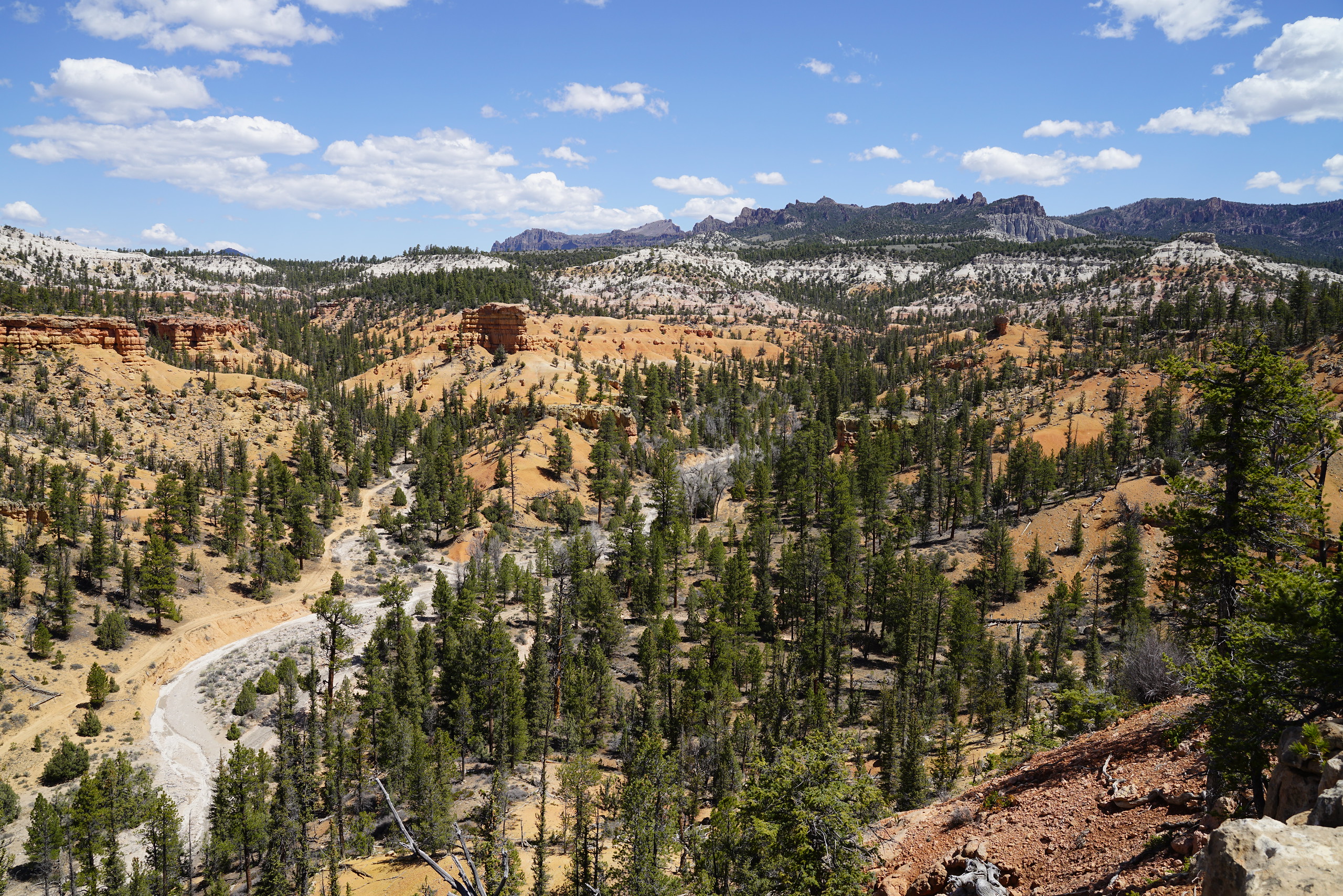
I'm almost certain this is an upper fork of Nate's, but very nearby to what you said-- take it awayare you on the rim of some side drainage that feeds into Cottonwood wash in the northeastern part of the swell?