Well Brendan, I will give it to you on this answer. It is the right spot but the wrong direction. So since you mentioned Silver Falls ... Go For It!
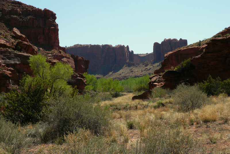
I am here in lower Silver Falls Canyon looking downstream toward the Escalante drainage. The green trees in the distance are along the Escalante, and the cliffs in the distance are on the other side of the Escalante. The drainage of Harris Wash is just out of view in the photo. And I mentioned in hiking the various directions here. This is a great spot to camp for some days and enjoy the area. One can go up north along the Escalante River Drainage, or south along the Escalante River Drainage, one can hike east /northeast up the Silver Falls Drainage, or one can cross the Escalante River and hike west up Harris Wash. And for those interested, in hiking south it is 6 miles to Choprock Canyon, 7 miles to Fence Canyon, and near 8 miles or so to Neon Canyon from what I remember.
As for myself, have been here many many a time with the first year being the fall of 1986. There is a small overhang here in lower Silver Falls that made a nice camping spot, water was nearby, and hiked in the area with enjoying everything. One can spend lifetimes exploring the area and never seeing it all. Also on the benches above, came across many stone flakes where the natives sat and made arrowheads. Great spot to linger for awhile.
Brendan, since you mentioned Silver Falls will give it to you. You're up. Also Brendan, you have a nice blog photo site.
")
 _DSC9228