Navigation
Install the app
How to install the app on iOS
Follow along with the video below to see how to install our site as a web app on your home screen.
Note: This feature may not be available in some browsers.
More options
Style variation
You are using an out of date browser. It may not display this or other websites correctly.
You should upgrade or use an alternative browser.
You should upgrade or use an alternative browser.
Guess the spot: Utah Edition
- Thread starter Ben
- Start date
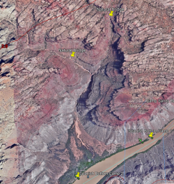
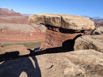
It’s a pretty poor photo. It’s from the rim of upper Stevens Canyon looking across the Baker Route toward Cliff. You’re up @Magnus
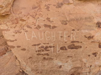
Oh gotcha! Has anyone seen this inscription I can across recently? (Extra points for who this person is because I couldn't figure it out)
Its hard to see in the picture but the letters were carved pretty deep, but your guess is as good as mineLooks newer than 1896
- Joined
- Jun 11, 2017
- Messages
- 4,608
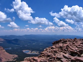
Kind of reminds me of Potters Pinds, but not quite right...
Udink
Still right here.
- Joined
- Jan 17, 2012
- Messages
- 1,742
It's a few thousand feet higher in elevation than Potter's Ponds.Kind of reminds me of Potters Pinds, but not quite right...
Udink
Still right here.
- Joined
- Jan 17, 2012
- Messages
- 1,742
Yep! With Ashley Twin Lakes down below.Marsh Peak?
priz1234
Member
- Joined
- Jun 10, 2020
- Messages
- 314
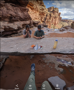
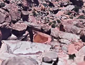
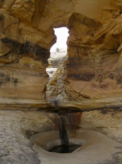
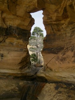
Yep. That is it!Is that first one Mamie natural bridge?
IntrepidXJ
ADVENTR
- Joined
- Jan 17, 2012
- Messages
- 3,490
Don't like ads? Become a BCP Supporting Member and kiss them all goodbye. Click here for more info.

