Guess the spot: Maps Edition

Got it, @Langdon Greene! Those Bitterroot canyons are unmistakeably straight. And hooked on the end.

I was planning a trip there this July, but I think I'm going to have to shelve it for a later year due to time constraints.
 
Yeah, there are a lot of nice backpacking opportunities all along that southern border of MT/ID. I hope you get there soon (and that I do too!)

Meanwhile, here's some topography with an interesting feature.... something unusual going on....
GtS-Map-June2016.png
 
not enough snow to be a washington or oregon volcano. so i'd say california, some thing about 10,400'.

lassen peak
 
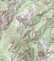
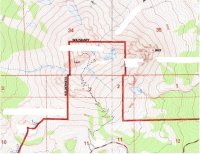
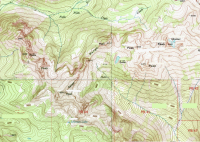
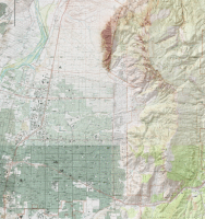
Guess spot 8.png
We'll give this a whirl; i have no idea whether it'll be easy or impossible. Should be a decent number of clues in there...
 
Anybody? Name the mountains or the metro area... your choice.

Hint - not in Utah
 
Kinda reminds me of Ennis, MT. But on second thought, it seems a little large and the river runs on the other side, I believe.
 
Back
Top